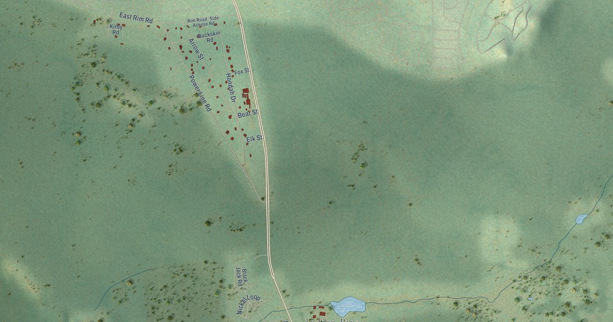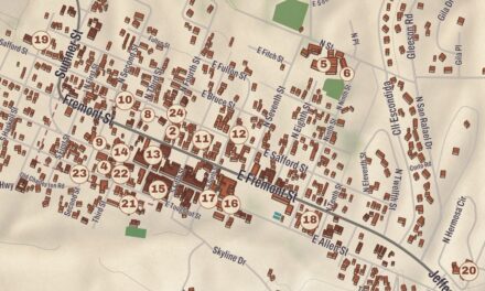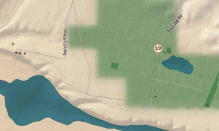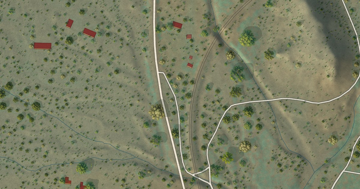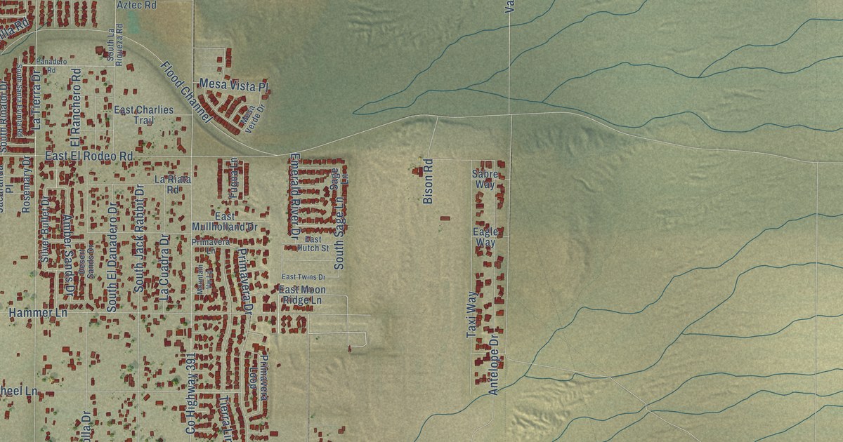
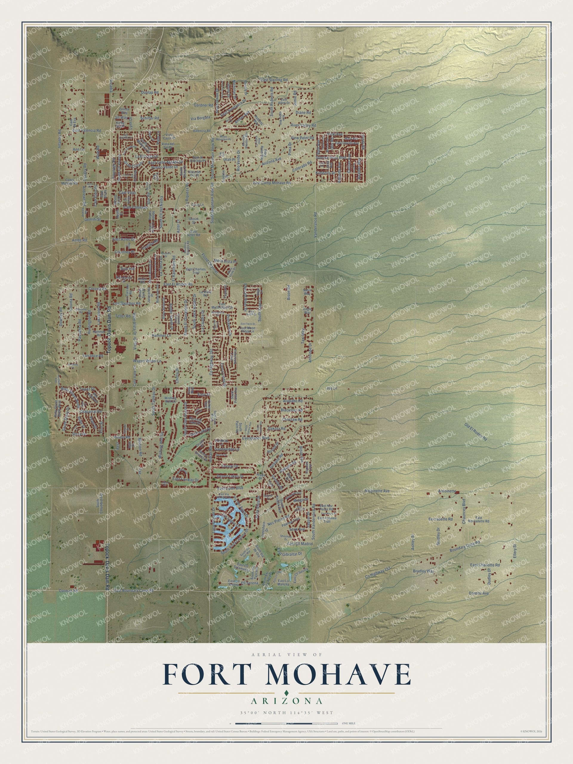
This beautifully detailed map of Fort Mohave, Arizona was created in 2026 using aerial imagery combined with modern topographical, census, street and landmark data. It’s a one-of-a-kind view of Fort Mohave that combines accurate data with a vintage aesthetic. The map shows every building in its true location, many of the roads carry their names, and the shaded topographic relief shows the shape of the land.
Explore an aerial view of Fort Mohave, Arizona
On the map you’ll find Cll Serena and Rich Hill, along with Topock-Davis Dam Road, Chaparral Road, Flint Street, Oatman Road, East Boundary Cone Road, East Camp Mohave Road, Ruby Street, Cindy Road, Jaguar Drive, Infantry Road, and more. Fort Mohave sits about 3 miles north of Mesquite Creek, 4 miles north of Mojave Ranch Estates and 6 miles northeast of Willow Valley. If you look closely you can even find your house accurately drawn in its correct location. Zoom in on the preview to look for yours.
Take a closer look at the Fort Mohave map
Names on this map
These names are printed on this map.
Streets and roads: Topock-Davis Dam Road, Chaparral Road, Flint Street, Cll Serena, Oatman Road, East Boundary Cone Road, East Camp Mohave Road, Ruby Street, Rich Hill, Cindy Road, Jaguar Drive, Infantry Road.
More street names, A to Z
Alcazar Way, Amanda Avenue, Amber Avenue, Amber Sands Drive, Andrew Road, Andrews Road, Ann Lane, Antelope Drive, Antoinette, Antoinette Avenue, Apollo Street, Arapaho Road, Arcadia, Arizona Avenue, Ashley Street, Aztec Road, Azter Court, Bella Vista Drive, Bernadette Road, Best, Beverly Drive, Bison Avenue, Bison Road, Blackfoot Road, Boundary Cone Road, Bradley Drive, Bradley Way, Calle Valle Vis, Cam Bruda, Cam Colorado, Cam de Eva, Cam Ejercito, Camp Mohave Road, Cam Viejo, Castilla Road, Catilan Avenue, Cavalry Road, Chauncey Boulevard, Choctaw Road, Cholla Drive, Chorro Drive, Clear Lake Drive, Cll Amigo, Cll el Dorado, Colorado Road, Corona Road, Corry Lane, County Highway 153, County Highway 391, Courtney Place, Covina Road, Crater Lake Drive, Crystal Drive, Curtis Way, Dakota Road, Desert Drive, Desert Greens Drive, Desert Lakes Drive, Desert Sands Drive, Diane Road, Donald Place, Dorette Avenue, Downey Road, Drinda Way, Dudley Drive, Dunlap Road, Eagle Way, East Al Entrada Place, East Allen Drive, East Aztec Drive, East Aztec Road, East Bernadette Road, East Calle Agrada Drive, East Charlies Trail, East Charlotte Road, East Cll Madrid, East Cll Salamanca, East Cll Serena, East Cll Sevilla, East Cll Toledo, East Davida Avenue, East El Rodeo Road, East Fairway Drive, East Gibraltar Drive, East Hutch Street, East La Mancha, East Lipan Boulevard, East Luna Media, East Mayra Street, East Moon Ridge Lane, East Mullholland Drive, East Nez Perce Road, East Pawnee Trail, East Sterling Road, East Sundance Drive, East Twins Drive, East Valencia Road, East Via del Agua Drive, Easy Street, Easy Way, Eland Drive, Ellery Street, El Ranchero Road, Emerald River Drive, Estado Way, Everglades Boulevard, Fairway Bend, Flood Channel, Franklin Street, Frontage Road, Fuqua Lane, Gardena Road, Gardner Road, Gazelle Drive, Gemini Street, Genini Street, Gold Lake Drive, Gosiute Road, Gran Circulo, Greenhorn Drive, Hammer Lane, Hammer Road, Heather Way, Hiada Drive, Hiada Lane, Hound Drive, Huntington Road, Indian Route 1, Iroquois Loop, Iroquois Road, Jacaranda Place, Jamie Road, Jenny Drive, Jill Way, Joy Lane, Kathy South, Keem Road, Kimberly Drive, Klamath Loop, La Calzada, La Calzada Road, La Cuadra Drive, La Entrada Drive, Lago Grande Drive, Lakewood Road, La Riata Road, La Riqueza Road, Las Colinas Lane, La Tierra Drive, Lipan Circle, Loop Lane, Los Gauchos Road, Los Lagos Drive, Lynda Avenue, Lynn Drive, Marissa Drive, Mary Avenue, Mesa Verde Drive, Mesa Vista Place, Michael Avenue, Midgo Drive, Mission Road, Moon Mountain Place, Mountain Meadow Way, Mountain Vw Lp, Nez Perce Court, Nez Pierce Road, Nicholas Drive, Northwest Pass, Oasis Lane, Old El Rodeo Road, Osprey Cv, Otis Road, Palm Lane, Panadero Road, Pasadena Lane, Pasadena Road, Pawnee Trail, Pearl Court, Pearl Street, Pima Drive, Pinion Road, Primavera Drive, Primavera Lane, Primavera Loop, Pso Redondo, Puerto Verde Drive, Pyramid Lake Drive, Rafe Avenue, Raindance Street, Regan Street, Reyes Adobe, Reyes Adobe Drive, Rio Verde Drive, River Road Way, River Valley Court, River Valley Road, River Valley Way, Roberts Way, Rosemary Drive, Ruby Street North, Ruby Street South West, Ruth Drive, Sabre Way, Sage Lane, Sandtrap Lane, Sandwedge Lane, Sauk Avenue, Schiffer Road, Shoshoni Drive, Silver Bullet Drive, South Casa Bonita, South Cassidy Drive, South Cll del Media, South Cll Viveza, South Club House Drive, South Columbia Avenue, South Cypress Avenue, South Dixon Drive, South El Danadero Drive, South Ent Via Verdes, South Erin Drive, South Jack Rabbit Drive, South Kodiak East, South La Riqueza Road, South Los Maderos Drive, South Mountain Veiw Road, South Mountain View Road, South Palm Road, South Praise Avenue, South Rinaldi Drive, South Roberts Road, South Sage Lane, South Santa Evinita Road, South Sharp Drive, South Starr Road, South Stony Drive, South Tableau Drive, South Trevino Way, South Vanderslice Road, South Via del Mar, South Via de Oro, South Via Tuscana, South Vista Laguna Drive, Star Road, Stony Drive, Sunrise Drive, Sunrise Vista Boulevard, Tae, Tamara Terrace, Taxi Way, Teller Road, Terral Lane, Tierra Linda Drive, Topaz Street, Torrance Road, Utah Place, Utah Way, Valencia Road, Valle Vista Drive, Vanderslice Road, Via Borgata, Via del Agua Drive, Vicki Avenue, View Point Road, Vista Cajon Place, Vista del Oro Place, Vista del Sol Drive, Vista Drive, Wagon Wheel Lane, Wise Road, Wishing Well Drive, Wishing Well Lane.
See it on a wall
The Fort Mohave map as a framed print. Swipe for more.


This beautifully detailed map of Fort Mohave makes an attractive addition to your office, library, or den, and it can even be used to teach children the geography and history of the area. It also makes a great gift for someone who left Fort Mohave and still calls it home. When you’re done exploring, click here to get your copy of the Fort Mohave map.