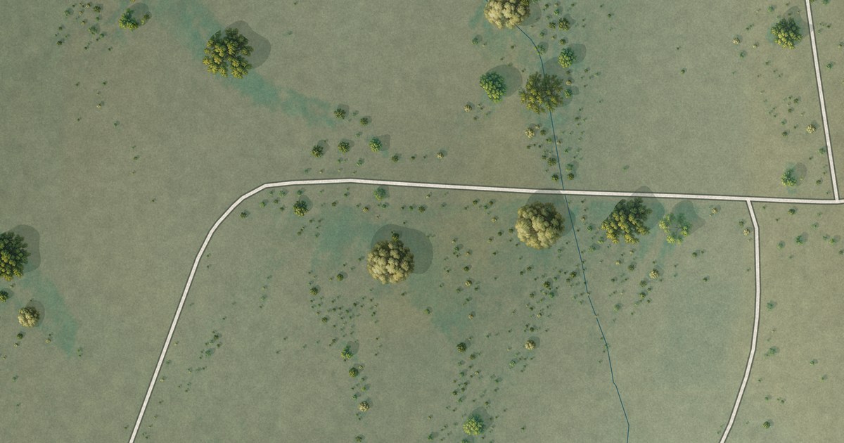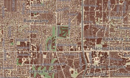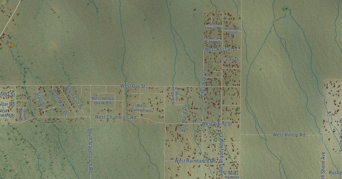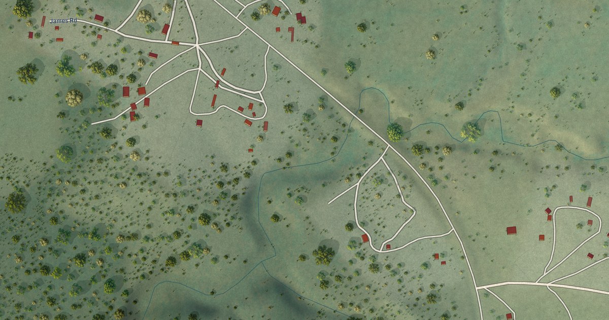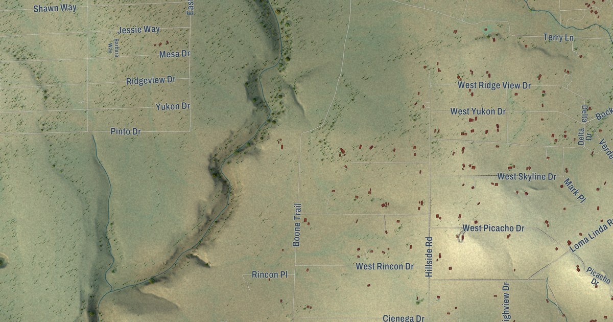
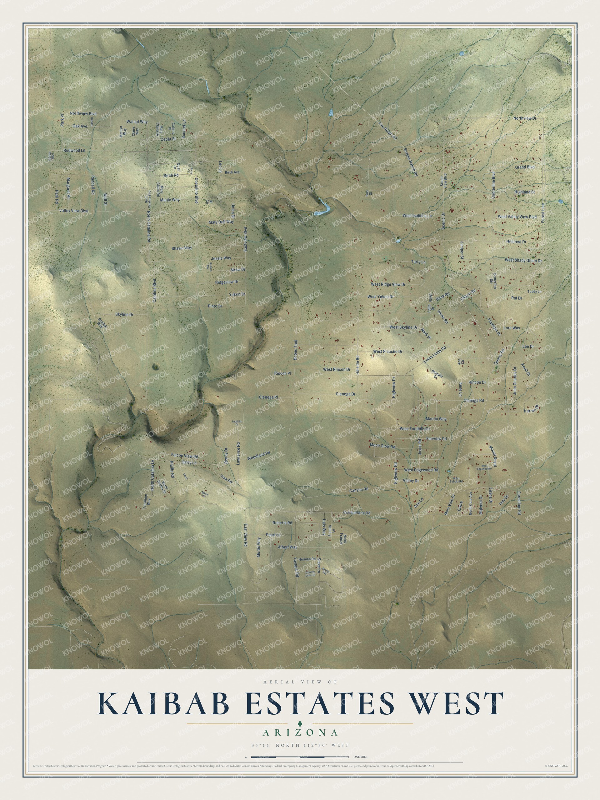
This beautifully detailed map of Kaibab Estates West, Arizona was created in 2026 using aerial imagery combined with modern topographical, census, street and landmark data. It’s a one-of-a-kind view of Kaibab Estates West that combines accurate data with a vintage aesthetic. The map shows every building in its true location, many of the roads carry their names, and the shaded topographic relief shows the shape of the land.
Explore an aerial view of Kaibab Estates West, Arizona
On the map you’ll find Forest Line, along with Bock Road, Quarry Road, Canyon Road, Northview Drive, Mesa Drive, West Shady Glenn Drive, Steve Lane, Valley View Boulevard, Jessie Way, North Catalina Road, Scenic Drive, and more. Kaibab Estates West sits about 4 miles north of Ash Fork, 18 miles west of Williams and 19 miles west of Red Lake. If you look closely you can even find your house accurately drawn in its correct location. Zoom in on the preview to look for yours.
Take a closer look at the Kaibab Estates West map
Names on this map
These names are printed on this map.
Streets and roads: Bock Road, Quarry Road, Forest Line, Canyon Road, Northview Drive, Mesa Drive, West Shady Glenn Drive, Steve Lane, Valley View Boulevard, Jessie Way, North Catalina Road, Scenic Drive.
More street names, A to Z
Albert Way, Al Circle, Ann Circle, Anne Lane, Ann Lane, Barbara Way, Birch Avenue, Birch Road, Boone Trail, Calistra Drive, Catalina Boulevard, Cedar Street, Centerline Biv, Centerline Boulevard, Charm Road, Cienega Drive, Cienega Place, Cienega Road, Claire Way, Coconino Boulevard, County Line Circle, Cumberland Road, David, Delta, Delta Drive, Denny Drive, Dunbar Boulevard, Eastview Boulevard, East View Road, Elvira, Fairview Road, Falcon View Road, Fire Road 142, Foothills Drive, Forestline Road, Fountain Drive, Francis Lane, Gerry Lane, Grand Boulevard, Hals Way, Herman Road, Highland Street, Highview Drive, Highview Road, Hillcrest Drive, Hillside Road, Inez Drive, Ivas Street, John Charles Drive, Joyce Road, Juniper Street, Kerren Drive, Knoll Drive, Lawrence Road, Lee Drive, Leo Lane, Loma Linda Road, Lore Way, Luana Drive, Malvern Drive, Maple Way, Marcia Way, Margaret Road, Marilyn Way, Mark Place, Mary Claira Drive, Mary Claire Road, Mary Dell Way, Marys Circle, Mary Vale Drive, Moon Glow Road, Mount Royal, Murdo Way, Murphy Way, North Catalina Boulevard, North Catalina Lane, North Core Avenue, North Dortha Drive, North Francis, Northview Boulevard, Oak Avenue, Park Place, Park Road, Pat Drive, Pearl Lane, Phillip Road, Picacho Drive, Pinto Drive, Quail Drive, Randal, Randall Boulevard, Randall Road, Redwood Lane, Ricky Circle, Ridgeview Drive, Rincon Drive, Rincon Place, Roberts Road, Scenic View Boulevard, Scooter Lane, Sevens Ranch Road, Shawn Way, Skyline Drive, Teddy Lane, Terry Lane, Tina Road, Trovillion Way, Union Drive, Valley Drive, Verde Road, Wall Street, Walnut Way, West Edgewood Drive, West Edgewood Road, West Foothills Drive, West Isabella Lane, West Picacho Drive, West Ridge View Drive, West Rincon Drive, West Skyline Drive, West Valley View Boulevard, West Yukon Drive, West Zabala Road, Woodland Road, Yavapai Road, Yukon Drive.
See it on a wall
The Kaibab Estates West map as a framed print. Swipe for more.


This beautifully detailed map of Kaibab Estates West makes an attractive addition to your office, library, or den, and it can even be used to teach children the geography and history of the area. It also makes a great gift for someone who left Kaibab Estates West and still calls it home. When you’re done exploring, click here to get your copy of the Kaibab Estates West map.