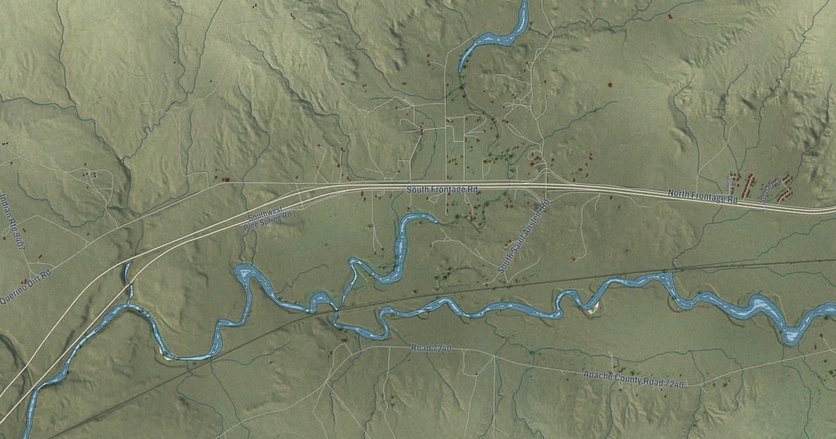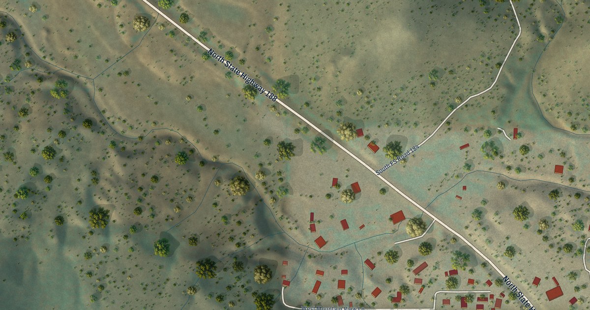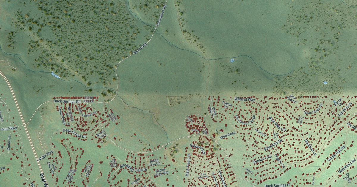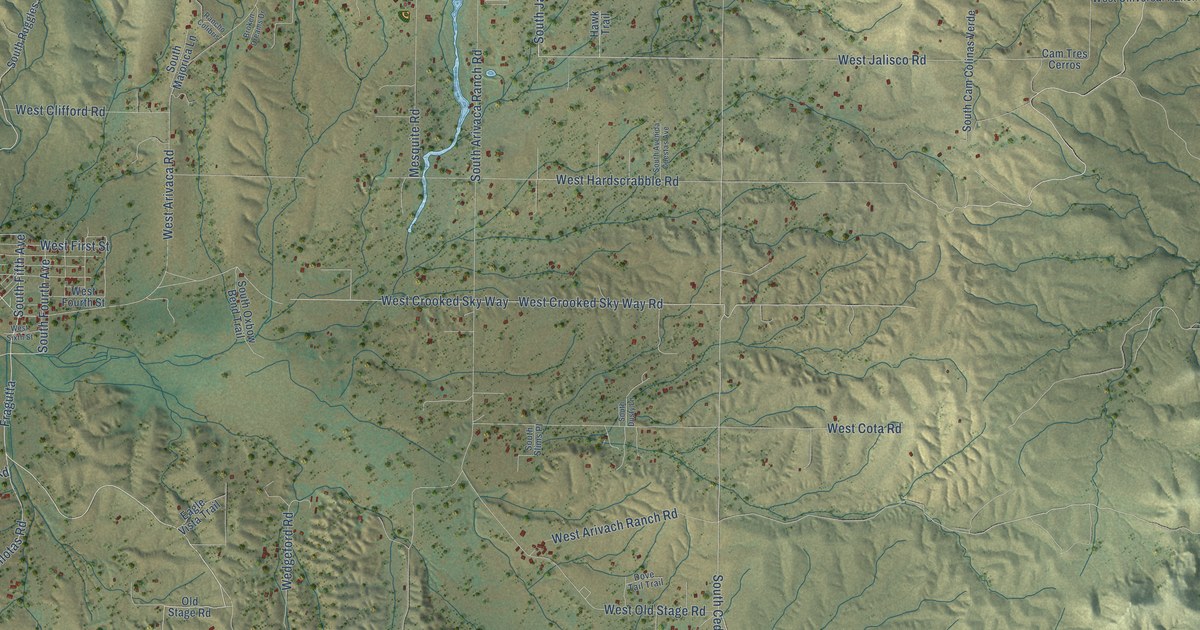
This beautifully detailed map of Arivaca, Arizona was created in 2026 using aerial imagery combined with modern topographical, census, street and landmark data. It’s a one-of-a-kind view of Arivaca that combines accurate data with a vintage aesthetic. The map shows every building in its true location, many of the roads carry their names, and the shaded topographic relief shows the shape of the land.
Explore an aerial view of Arivaca, Arizona
On the map you’ll find Fragutta, along with South Ruby Road, South Fifth Avenue, West Tres Bellotas Road, South Cedar Creek Road, Universal Ranch Road, West Jalisco Road, South Seventh Avenue, West Hardscrabble Road, South Jackalope Road, West Hinckley Road, West Ili Teka Road, and more. Arivaca sits about 14 miles west of Tubac, 14 miles west of Tumacacori-Carmen and 16 miles southwest of Amado. If you look closely you can even find your house accurately drawn in its correct location. Zoom in on the preview to look for yours.
Take a closer look at the Arivaca map
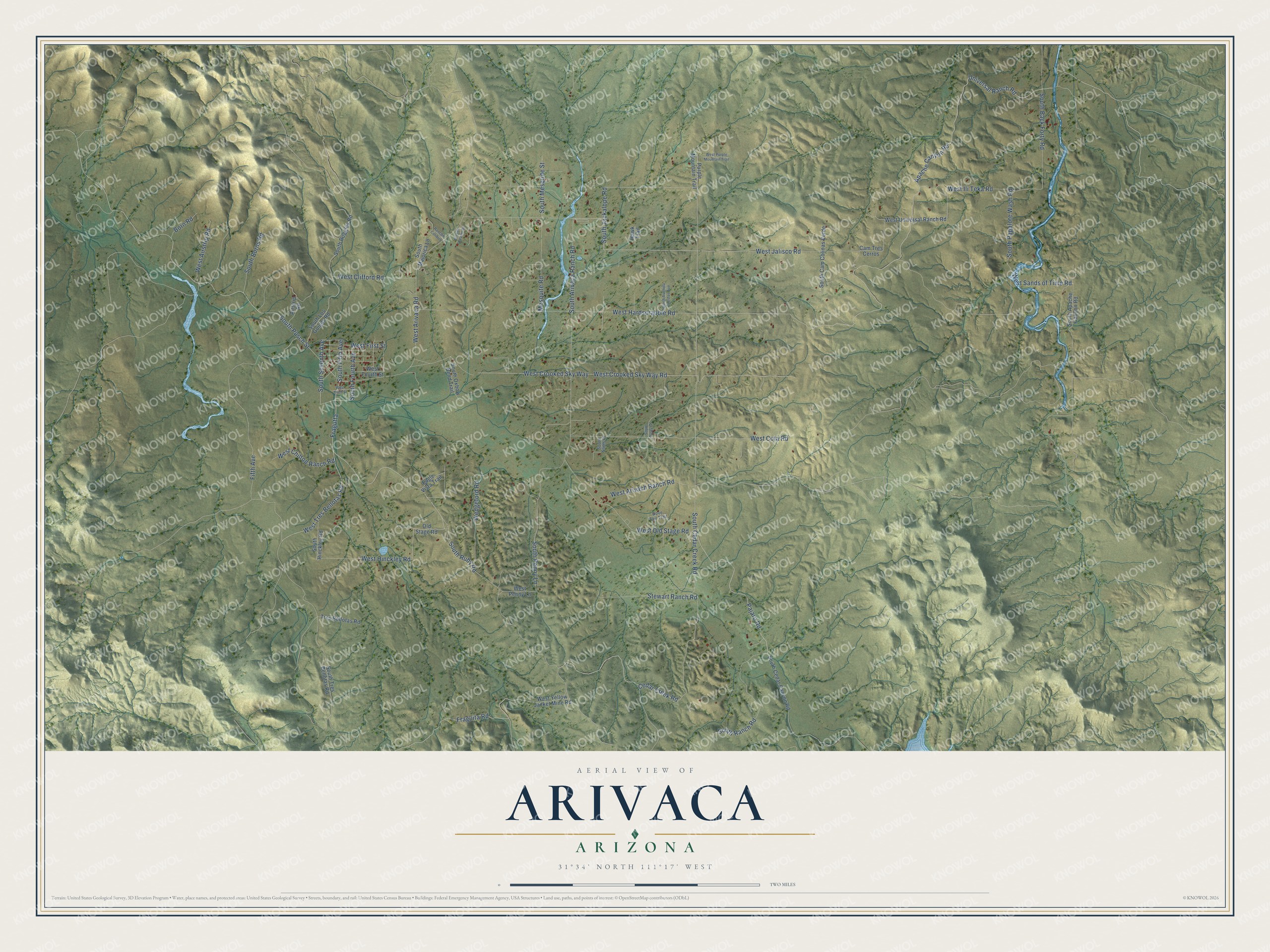
Names on this map
These names are printed on this map.
Streets and roads: South Ruby Road, Fragutta, South Fifth Avenue, West Tres Bellotas Road, South Cedar Creek Road, Universal Ranch Road, West Jalisco Road, South Seventh Avenue, West Hardscrabble Road, South Jackalope Road, West Hinckley Road, West Ili Teka Road.
More street names, A to Z
Airstrip Road, Apache Canyon Road, Born Road, Broken Dreams Drive, Cam Tres Cerros, Cedar Creek Road, Dove Tail Trail, Eagle Vista Trail, Fifth Avenue, Fraguita Road, Hawk Trail, Mesquite Road, Old Stage Road, Pajaro Road, Purple Mountain Trail, Rancho Colibris, South Apache Canyon Road, South Arivaca Ranch Road, South Avenida Cuestas Avenue, South Back Forty Road, South Burns Road, South Cam Colinas Verde, South Cedar Canyon Road, South Dusty Lane, South Fourth Avenue, South Hinckley Road, South Los Guigas Road, South Majorica Lane, South Mesquite Street, South Oxbow Bend Trail, South Papalote Wash Road, South Penny Lane, South Pusch Street, South Ranch Road, South Ruggles Road, South Slims Place, South Tres Bellotas Road, Stewart Ranch Road, Tres Bellotas Road, Wedgeford Road, West Airstrip Road, West Arivaca Road, West Arivach Ranch Road, West Chilton Ranch Road, West Clifford Road, West Cota Road, West Crooked Sky Way, West Crooked Sky Way Road, West First Street, West Fourth Street, West Old Stage Road, West Penny Lane, West Purple Mountain Trail, West Sands of Time Road, West Sixth Street, West Universal Ranch Road, West Yellow Jacket Mine Road.
See it on a wall
The Arivaca map as a framed print. Swipe for more.


This beautifully detailed map of Arivaca makes an attractive addition to your office, library, or den, and it can even be used to teach children the geography and history of the area. It also makes a great gift for anyone with Arivaca roots. When you’re done exploring, click here to get your copy of the Arivaca map.