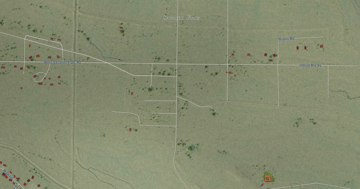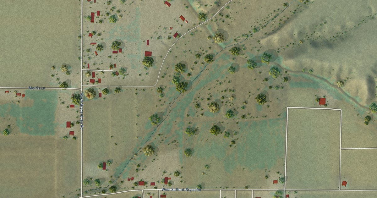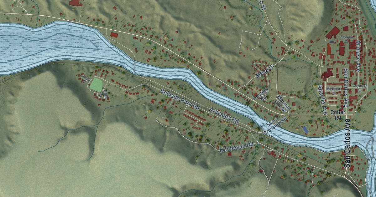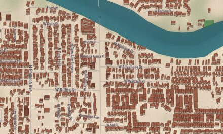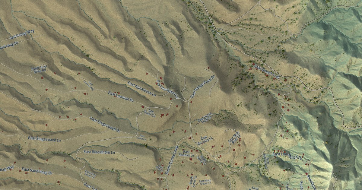
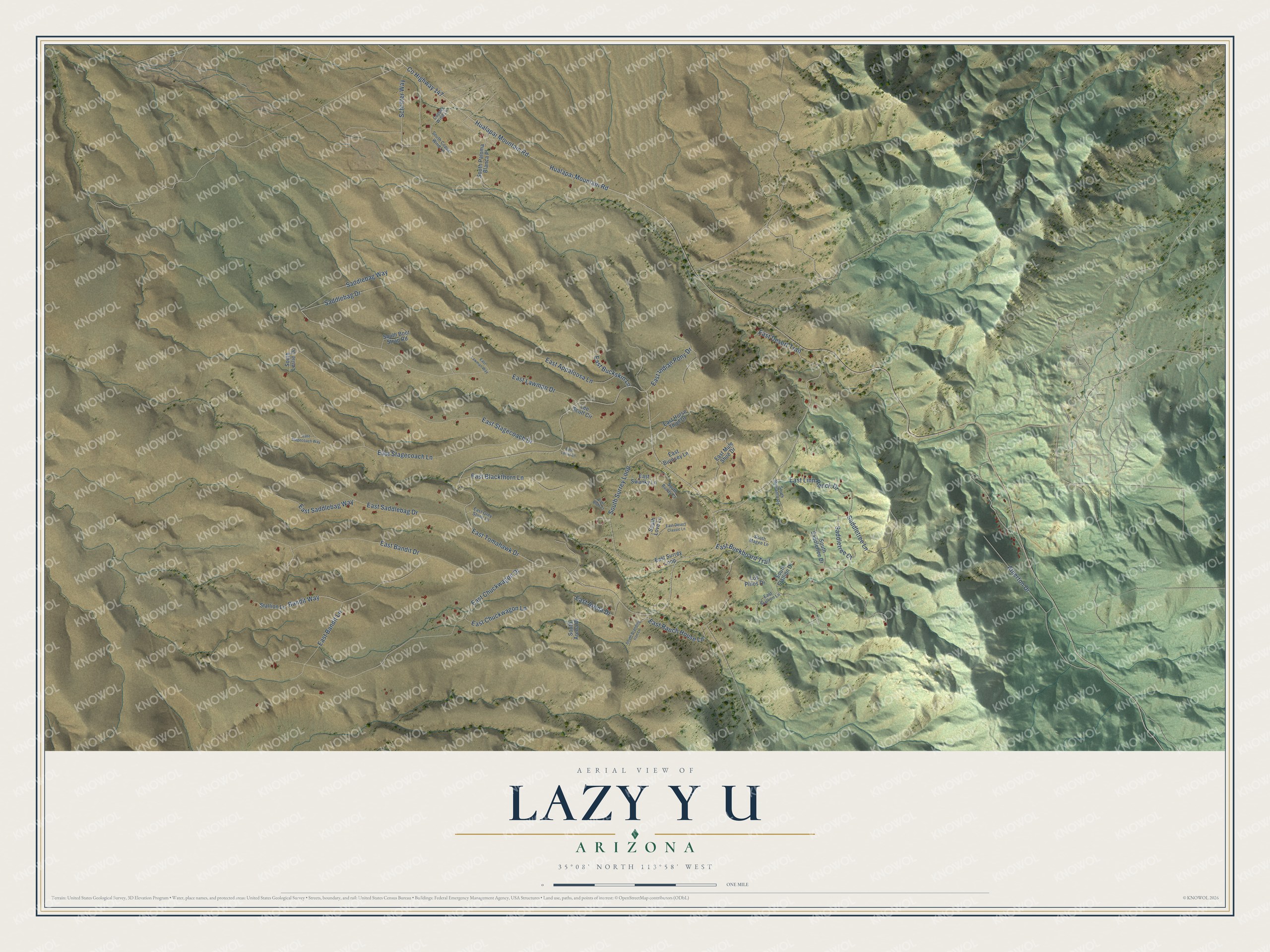
This beautifully detailed map of Lazy Y U, Arizona was created in 2026 using aerial imagery combined with modern topographical, census, street and landmark data. It's a modern aerial view of Lazy Y U in Mohave County, Arizona, that combines modern data with a vintage aesthetic. The roads feature printed names, and if you look closely you can find your exact house accurately shown in its correct location.
Explore an aerial view of Lazy Y U, Arizona
On this map you'll find East Indian Pony Drive, East Tomahawk Drive, South Surrey Loop, East Stagecoach Drive, Co Highway 147, Hualapai Mountain Road, East Lawman Drive, East Bandit Drive, East Chuckwagon Drive, East Stagecoach Lane, East Buckboard Trail, East Bandit Lane, and more. Each red shape is a building, so zoom in on the preview and look for yours.
Lazy Y U is a community in Mohave County. The Census Bureau counted 474 people here in 2020. Lazy Y U sits about 4 miles west of Pinion Pines, 6 miles southeast of Kingman and 6 miles northwest of Pine Lake. The map prints the town name in its title panel, with the coordinates below it.
Take a closer look at the Lazy Y U map
Names on this map
These names are printed on this map.
Streets and roads: East Indian Pony Drive, East Tomahawk Drive, South Surrey Loop, East Stagecoach Drive, County Highway 147, Hualapai Mountain Road, East Lawman Drive, East Bandit Drive, East Chuckwagon Drive, East Stagecoach Lane, East Buckboard Trail, East Bandit Lane.
More street names, A to Z
Atherton Drive, Bandit Way, Copper Wind Lane, East Appaloosa Lane, East Arena Drive, East Blackthorn Lane, East Bluff Court, East Buckskin Lane, East Burnsey Lane, East Chuckwagon Lane, East Desert Classic Lane, East Desert Trail, East Grey Stone Lane, East Horse Thief Drive, East Lariat Lane, East Lawman Way, East Linn Ranch Drive, East Mule Shoe Drive, East Ranch House Lane, East Saddlebag Drive, East Saddlebag Way, East Stagecoach Way, East Stallion Lane, East Surrey Loop, East Swanky Lane, Lee Scott Circle, Los Pinos Drive, Saddlebag Drive, Saddlebag Way, Saddletree Court, Saddletree Lane, Schritter Way, South Arena Drive, South Belcanto Road, South Boot Strap Road, South Branding Iron Lane, South Buddy Court, South Copper Wind Lane, South Leslie Drive, South Love Lane, South Magee Lane, South Paloma Blanca Place, South Saddletree Drive, South Stallion Drive, Stallion Lane.
See it on a wall
The Lazy Y U map as a framed print. Swipe for more.


Created by KNOWOL in 2026. The buildings are small red shapes, the roads carry their printed names, and shaded relief shows the shape of the land. The title panel reads "AERIAL VIEW OF LAZY Y U, ARIZONA" with 35°08' NORTH 113°58' WEST.
It suits a den, a classroom or a front hall, and it makes a gift for anyone with Lazy Y U roots. Open the preview and find the block you know. See sizes and frames for the Lazy Y U map.