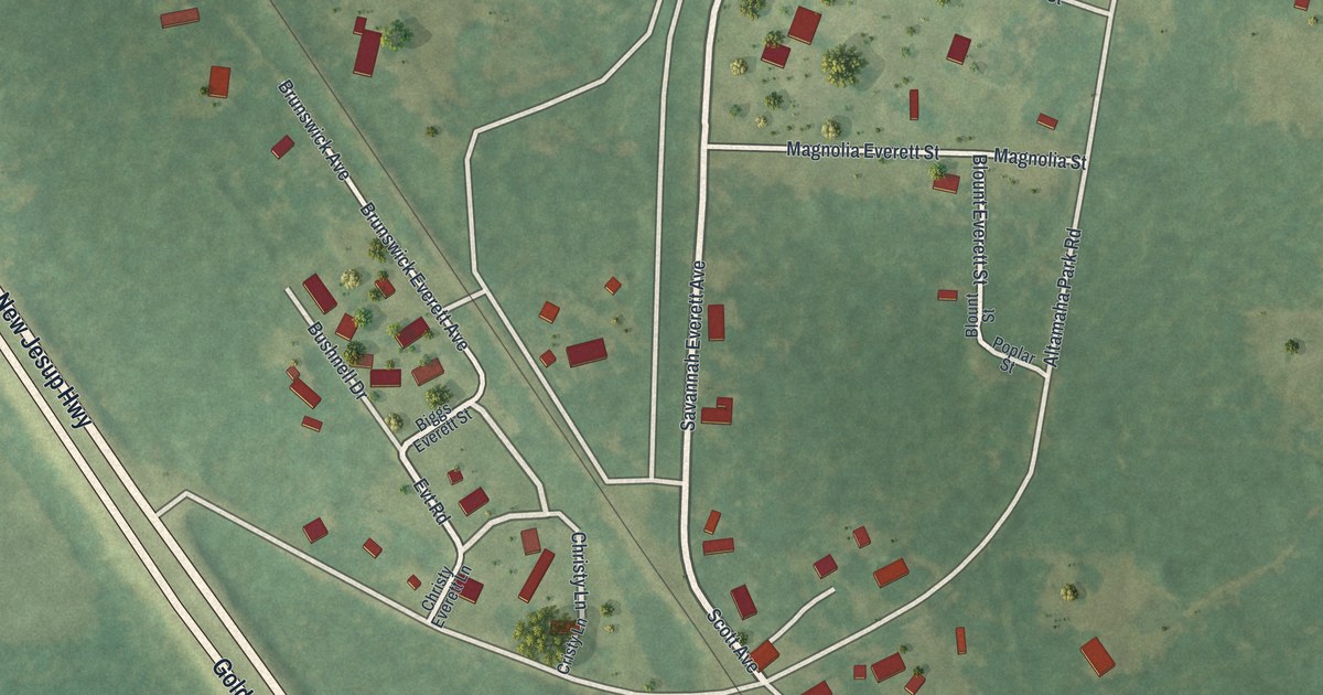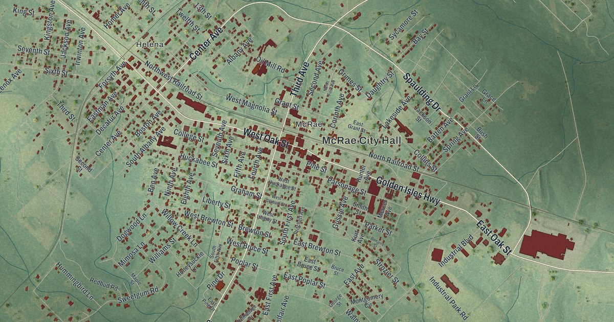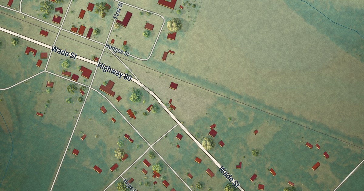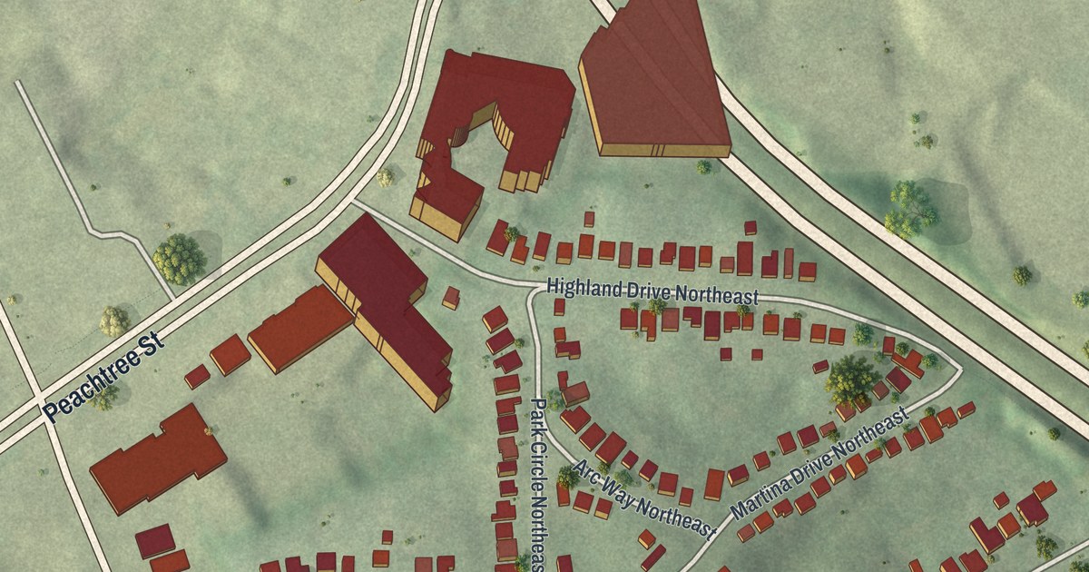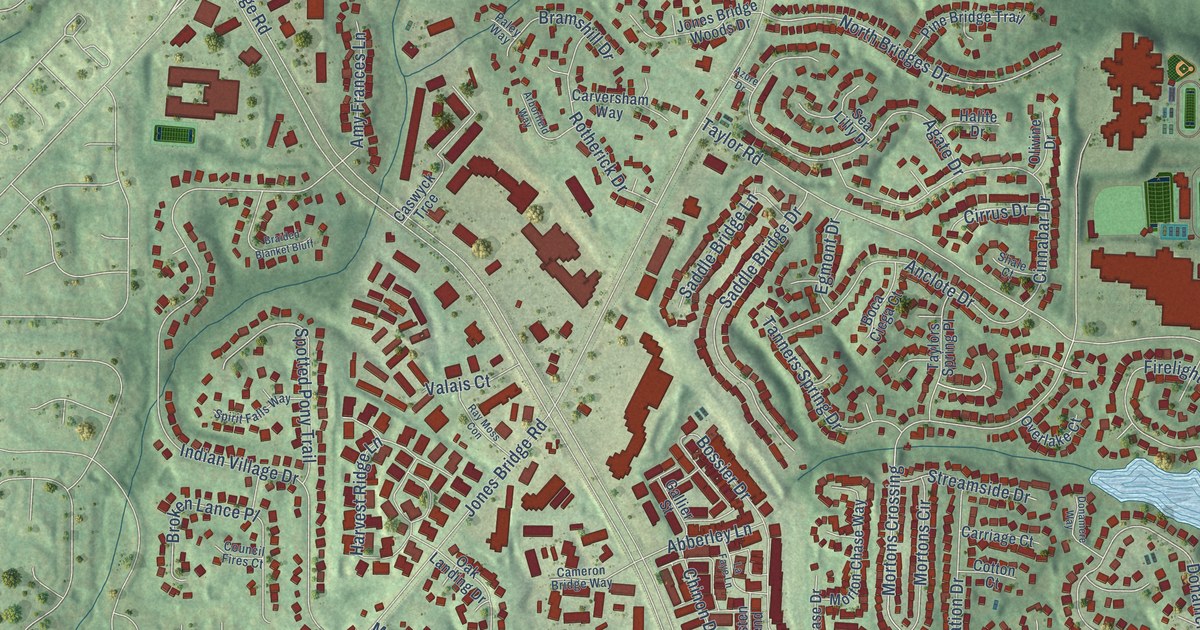
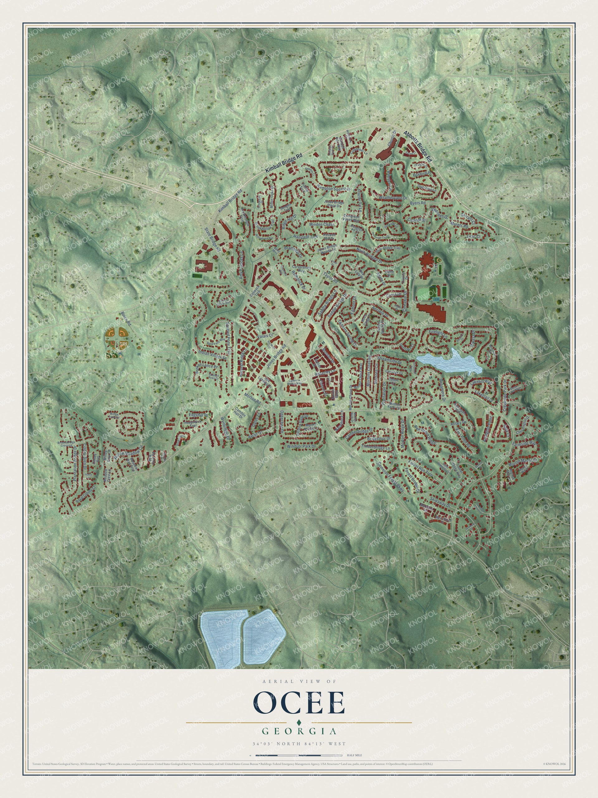
This beautifully detailed map of Ocee, Georgia was created in 2026 using aerial imagery combined with modern topographical, census, street and landmark data. It’s a one-of-a-kind view of Ocee that combines accurate data with a vintage aesthetic. The map shows every building in its true location, many of the roads carry their names, and the shaded topographic relief shows the shape of the land.
Explore an aerial view of Ocee, Georgia
On the map you’ll find Ocee Park, along with Kimball Bridge Road, Abbotts Bridge Road, State Bridge Road, Morton Road, Jones Bridge Road, Taylor Road, Cameron Forest Parkway, Buice Road, Indian Village Drive, Weathervane Drive, Willow Meadow Circle, and more. If you look closely you can even find your house accurately drawn in its correct location. Zoom in on the preview to look for yours.
Did You Know?
Ocee went by two other names before this one. The little Milton County community was first called New York, and later Mazeppa. Its lasting name came from a Cherokee community that once stood in the area. Today the Ocee name lives on in a local school, park, library and church.
Ocee is a place in Fulton County.
Take a closer look at the Ocee map
Names on this map
These names are printed on this map.
Places: Ocee Park.
Streets and roads: Kimball Bridge Road, Abbotts Bridge Road, State Bridge Road, Morton Road, Jones Bridge Road, Taylor Road, Cameron Forest Parkway, Buice Road, Indian Village Drive, Weathervane Drive, Willow Meadow Circle, Harvest Ridge Lane.
More street names, A to Z
Abberley Lane, Agate Drive, Ambleside Chase, Amy Frances Lane, Anclote Drive, Arborfield Way, Arlington Point, Austen Bend, Avian Drive, Aviary Drive, Azure Drive, Baccarat Court, Bemiss Court, Boca Ciega Court, Bossier Drive, Boxford Court, Boxford Place, Braided Blanket Bluff, Bramshill Drive, Bridgemor Drive, Broken Lance Place, Brookdale Road, Brook Ford Point, Brookhollow Trail, Brookhollow Trce, Brooksbridge Crossing, Byers Road, Camberbridge Drive, Camden Hall Drive, Cameron Bridge Way, Cameron Woods Court, Carriage Court, Carversham Way, Caswyck Trce, Chessington Drive, Chinon Drive, Church Drive, Cinnabar Drive, Cirrus Drive, Colony Glen Drive, Colony Run, Composer Lane, Cotton Court, Council Fires Court, Courton Street, Creekside Court, Creekside Park Drive, Donamere Drive, Donamere Way, Douglas Fir Court, Edgehill Place, Egmont Drive, Evergreen Valley Way, Farmside Way, Firelight Lane, Forest Bridge Drive, Forest Run Trce, Frazier Fir Lane, Frellig Trce, Gallier Street, Garrett Court, Gates Lane, Halite Drive, Hampton Square Drive, Hanstedt Trce, Hedgewick Trail, Jones Bridge Place Drive, Jones Bridge Woods Drive, Kempton Court, Kimball Parc Way, Kimball Park Court, La Faye Lane, Lakehill Way, Laketrail Drive, Laurel Green Way, Lirac Court, Mabrypark Place, Maryam Trce, Meadow Crest Lane, Meadow Run Trce, Meridian Lane, Merrimont Drive, Mikasa Drive, Milton Oaks Drive, Minden Chase, Morton Bridge Lane, Morton Chase Drive, Morton Chase Way, Morton Ferry Circle, Morton Manor Court, Morton Mill Court, Morton Mill Lane, Morton Ridge Drive, Mortons Circle, Mortons Crossing, Morton Walk Drive, Murets Road, Naramore Lane, New Cove Road, Nightingale Walk, North Bridges Drive, Oak Landing Drive, Ogeechee Drive, Olivine Drive, Overlake Court, Paley Way, Pine Bridge Trail, Plantation Bridge Drive, Plantation Drive, Ray Moss Con, Red Robin Ridge, Ridge Hill Drive, Roswell Mill Drive, Rotherick Drive, Royal Colony Court, Saddle Bridge Drive, Saddle Bridge Lane, Saint Simonds Court, Sea Lilly Drive, Sengen Trce, Serrant Court, Shale Court, Skidaway Court, Skidaway Drive, Spey Court, Spirit Falls Way, Spotted Pony Trail, Stable Lane, Streamside Drive, Tanners Spring Drive, Taylors Spring Place, Thatching Lane, Timberbridge Lane, Ullswater Cv, Valais Court, Vedrines Drive, Victory Gate Drive, Waterbury Lane, Willowbrook Run, Willow Lookout, Willow View Circle, Windsor Park Drive, Windswept Way, Wren Ridge Road, Wynbridge Drive.
See it on a wall
The Ocee map as a framed print. Swipe for more.


This beautifully detailed map of Ocee makes an attractive addition to your office, library, or den, and it can even be used to teach children the geography and history of the area. It also makes a great gift for someone who left Ocee and still calls it home. When you’re done exploring, click here to get your copy of the Ocee map.