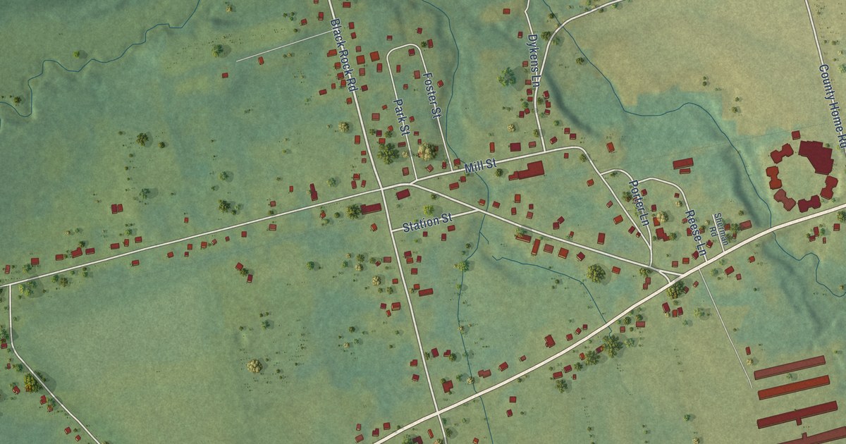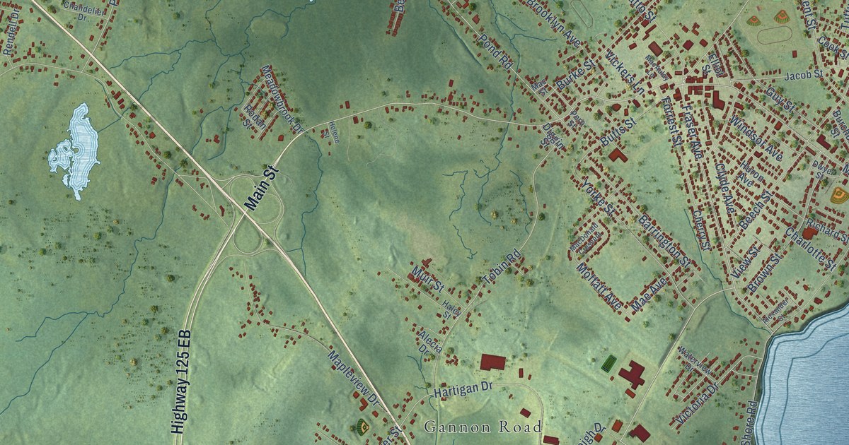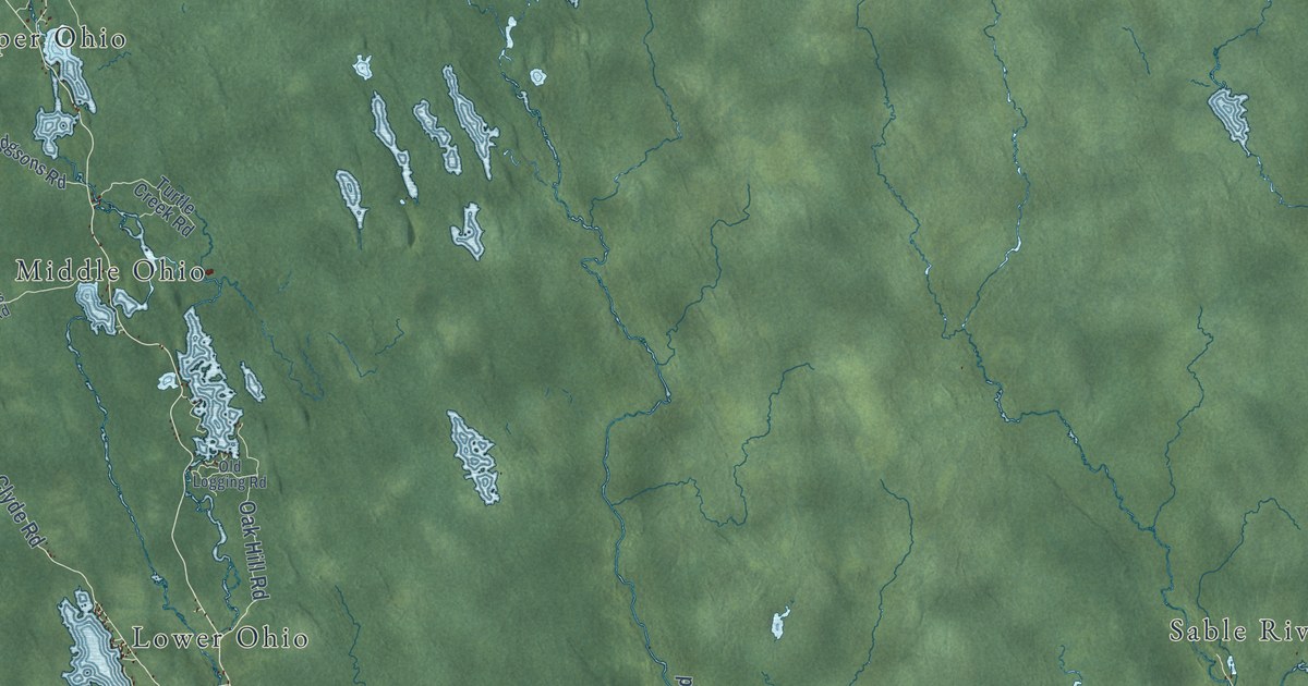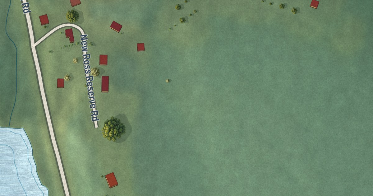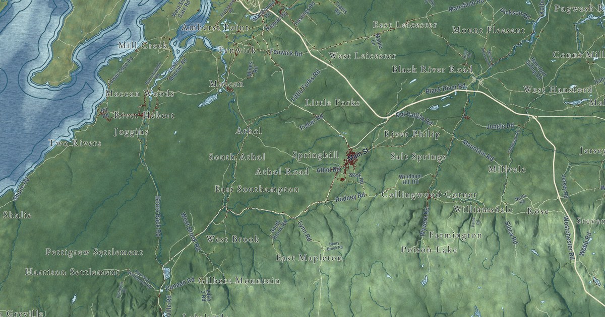
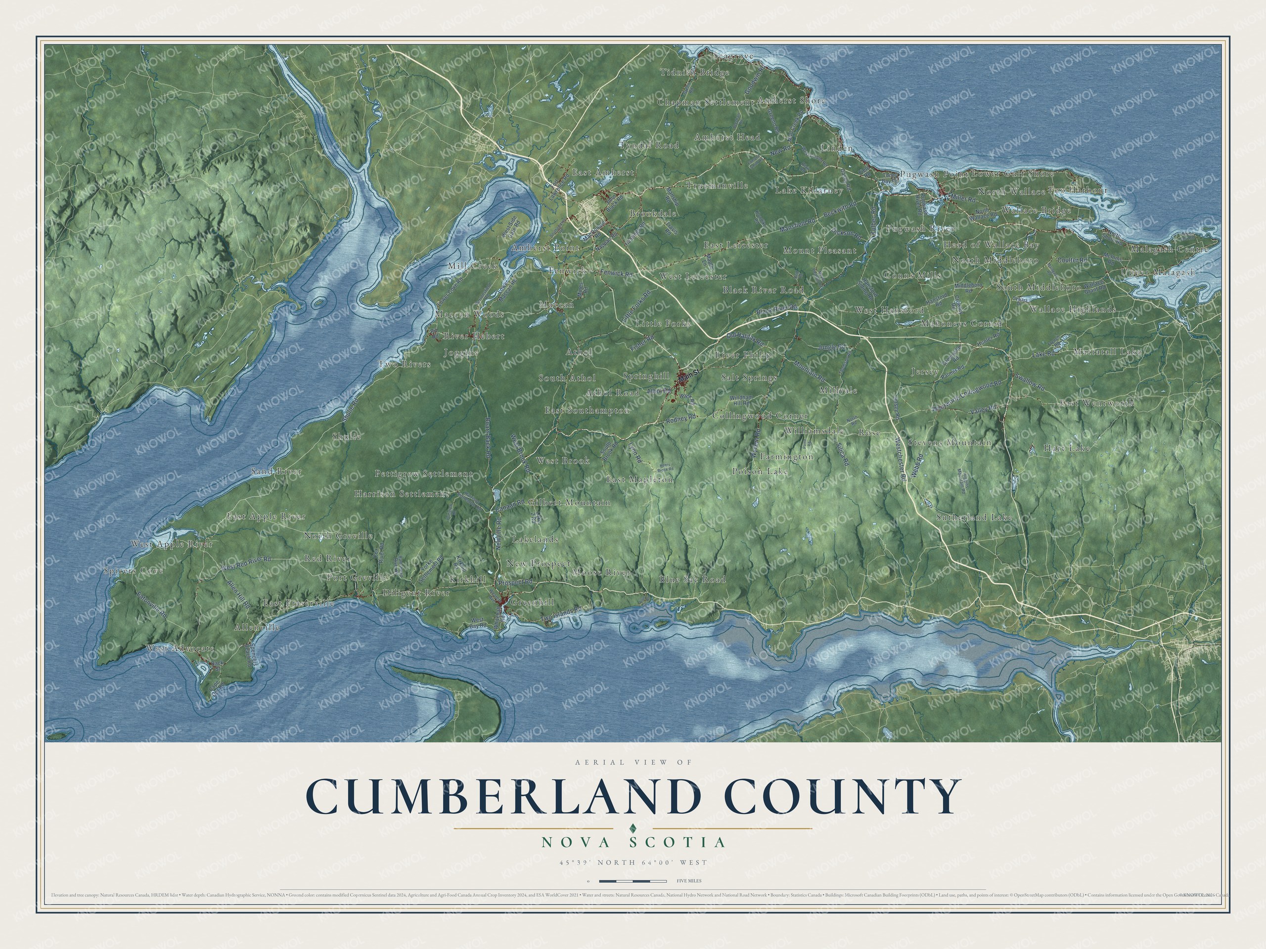
This beautifully detailed map of Cumberland County, Nova Scotia was created in 2026 using aerial imagery combined with modern topographical, census, street and landmark data. It’s a one-of-a-kind view of Cumberland County that combines accurate data with a vintage aesthetic. The map shows every building in its true location, many of the roads carry their names, and the shaded topographic relief shows the shape of the land.
Explore an aerial view of Cumberland County, Nova Scotia
On the map you’ll find West Advocate, Tidnish Bridge, Greenhill, Hart Lake, Two Rivers, East Amherst, North Middleboro, Red River, Mount Pleasant, River Philip, and Mill Creek, along with Athol Road, and more. If you look closely you can even find your house accurately drawn in its correct location. Zoom in on the preview to look for yours.
Take a closer look at the Cumberland County map
Names on this map
These names are printed on this map.
Places: Athol Road, West Advocate, Tidnish Bridge, Greenhill, Hart Lake, Two Rivers, East Amherst, North Middleboro, Red River, Mount Pleasant, River Philip, Mill Creek, Gilbert Mountain, Sutherland Lake, Lower Gulf Shore, Linden, Shulie, West Apple River, Mahoneys Corner, Farmington, Fenwick, Sand River, East Southampton, Upper Malagash, Diligent River, Moose River, Tyndal Road, Harrison Settlement, Mattatall Lake, Jersey, River Hebert, Amherst Shore, Allenville, East Leicester, Pugwash Point, Salt Springs, Amherst Head, Stevens Mountain, East Wentworth, Conns Mills, Maccan, Spicers Cove, Rose, North Greville, Wallace Highlands, West Hansford, Pugwash River, Wallace Bridge, Malagash Centre, Little Forks, Fox Harbour, West Leicester, South Athol, Williamsdale, New Prospect, East Fraserville, Kirkhill, Lake Killarney, Port Greville, East Apple River, Black River Road, Maccan Woods, Chapman Settlement, Seagrove, Brookdale, Pettigrew Settlement, Springhill, West Brook, South Middleboro, Amherst Point, Lakelands, Millvale, Athol, East Mapleton, Poison Lake, Joggins, Head of Wallace Bay, Collingwood Corner, Truemanville, Blue Sac Road and North Wallace.
Streets and roads: Westchester Road, Wyvern Road, Wentworth Collingwood Road, Prospect Road, Silica Road, Mountain Road, Canaan Road, Old Halifax Road, Shulie Road, Lake Road, West Red River Road, Lynn Road.
More street names, A to Z
Allen Hill Road, Back Road, Back Street, Barronsfield Road, Beckwith Road, Beecham Road, Blair Road, Blue Sea Road, Boars Back Road, Cape Dor Road, Casey Road, Coulter Road, Crowley Road, Dewars Drive, Dickson Road, Eatonville Road, Edmund Smith Road, Fenwick Road, Field Road, Fisher Road, Fort Lawrence Road, Fox River Road, French Road, Goodwin Road, Greeno Road, Green Road, Greenville Road, Hansford Road, Hansford Siding Road, Harrison Settlement Road, Hastings Road, Henry Brook Road, Higgins Mountain Road, Hunter Road, Jersey Road, John Black Road, Jungle Road, Kirkhill Road, Klondike Road, Kolbec Road, Lake 2 Road, Little Forks Road, Lower Cove Road, Lower Maccan Road, MacDonald Road, Main Street, Malagash Road, Mansfield Road, Manship Road, Maple Lane, McInnis Road, Middleboro Road, Miller Road, Mines Road, Mount Pleasant Road, Mud Creek Road, Nappan Road, New Road, Newville Road, North Road, North Shore Road, North Wallace Road, Paine Road, Palmer Road, Pettigrew Road, Pit Road, Pugwash River Road, Ramshead River Road, Reid Road, Rodney Road, Southampton Road, South Brook Road, Spencers Beach Road, Swallow Road, Thomson Road, Toney Bay Road, Travis Road, Two Islands Road, Valley Road, Wallace Grant Road, Webb Road, West Bay Road, West Brook Road, Western Avenue, West Linden Road, West Side Gate Road, Whitehall Road, Windham Hill Road, Yorke Settlement Road.
See it on a wall
The Cumberland County map as an 18 x 24 inch print in a black frame.

This beautifully detailed map of Cumberland County makes an attractive addition to your office, library, or den, and it can even be used to teach children the geography and history of the area. It also makes a great gift for anyone with Cumberland County roots. When you’re done exploring, click here to get your copy of the Cumberland County map.