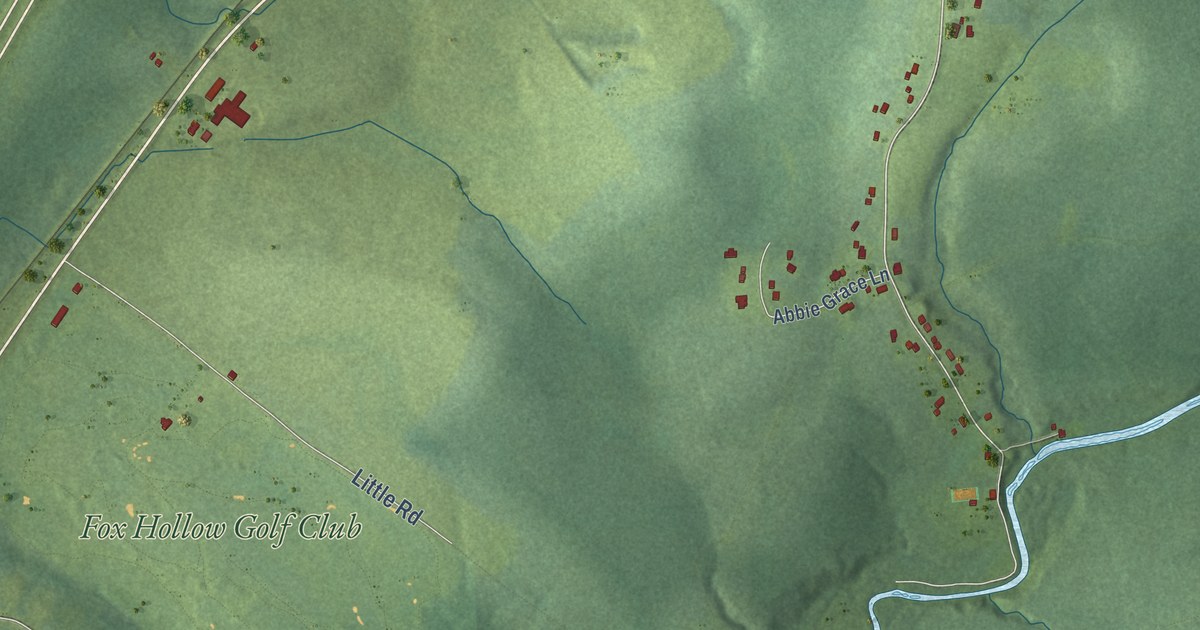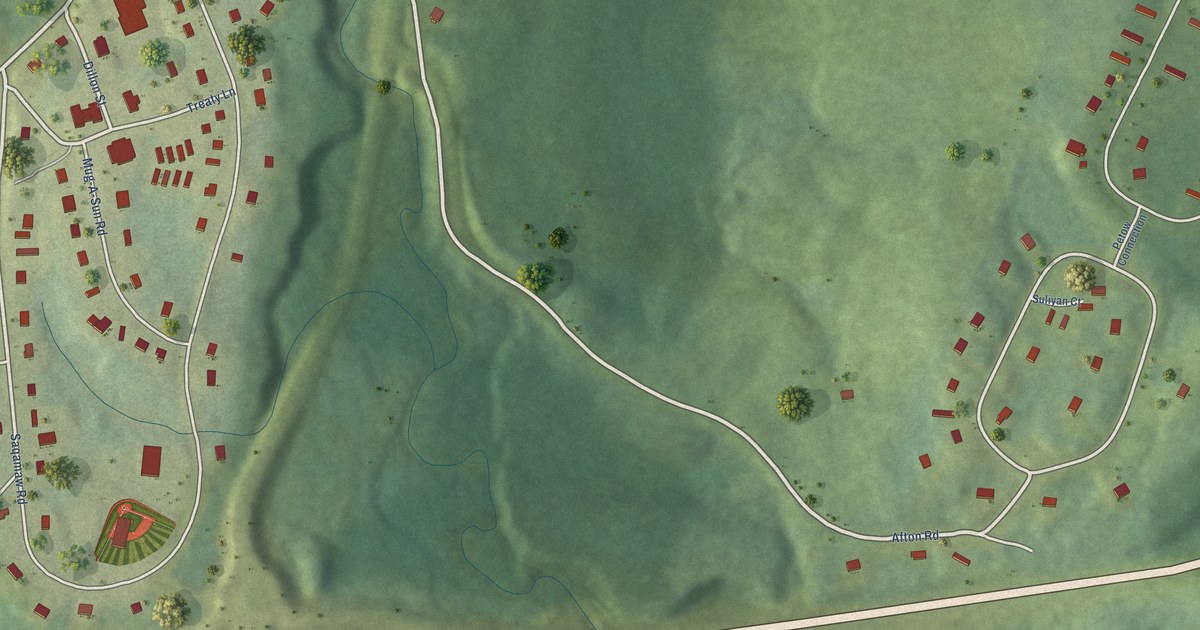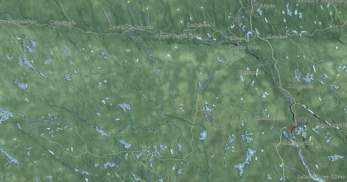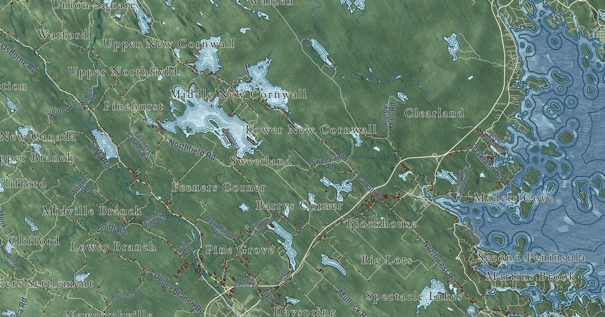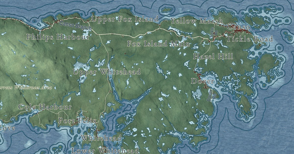
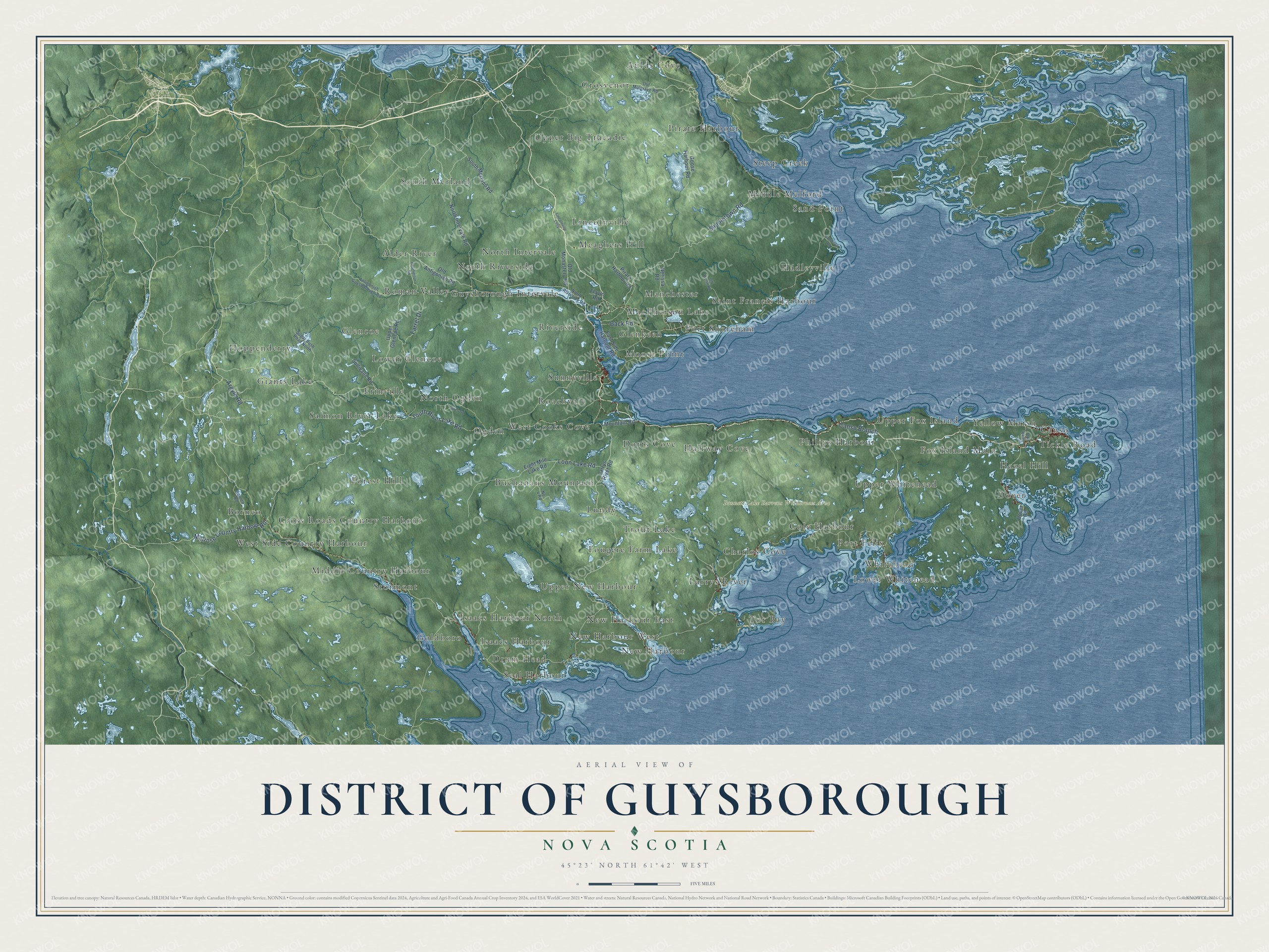
This beautifully detailed map of District of Guysborough, Nova Scotia was created in 2026 using aerial imagery combined with modern topographical, census, street and landmark data. It’s a one-of-a-kind view of District of Guysborough that combines accurate data with a vintage aesthetic. The map shows every building in its true location, many of the roads carry their names, and the shaded topographic relief shows the shape of the land.
Explore an aerial view of District of Guysborough, Nova Scotia
On the map you’ll find Bonnett Lake Barrens Wilderness Area, Borneo, Aulds Cove, Canso, Alder River, New Harbour, Saint Francis Harbour, Hoppenderry, Upper Big Tracadie, Ogden, Isaacs Harbour, Glenkeen, and more. If you look closely you can even find your house accurately drawn in its correct location. Zoom in on the preview to look for yours.
Take a closer look at the District of Guysborough map
Names on this map
These names are printed on this map.
Places: Bonnett Lake Barrens Wilderness Area, Borneo, Aulds Cove, Canso, Alder River, New Harbour, Saint Francis Harbour, Hoppenderry, Upper Big Tracadie, Ogden, Isaacs Harbour, Glenkeen, Sand Point, Upper Fox Island, Larrys River, Forest Hill, West Cooks Cove, Glencoe, Lower Whitehead, Meaghers Hill, Lundy, Grosvenor, Middle Country Harbour, Erinville, MacPherson Lake, Pirate Harbour, Hadleyville, Dover, Guysborough Intervale, South Merland, Upper Whitehead, Buchanans Mountain, Upper New Harbour, Charlos Cove, Halfway Cove, Yellow Marsh, Philips Harbour, Seal Harbour, Sunnyville, North Riverside, Dorts Cove, West Side Country Harbour, Roman Valley, North Intervale, Tor Bay, Fox Island Main, Moose Point, Trout Lake, Port Felix, Steep Creek, North Ogden, Roachvale, Giants Lake, Fougere Farm Lake, New Harbour East, Cole Harbour, Lower Glencoe, Manchester, Middle Melford, Salmon River Lake, Lincolnville, Tickle Road, Isaacs Harbour North, Stormont, Port Shoreham, Whitehead, Drum Head, Cross Roads Country Harbour, Hazel Hill, New Harbour West, Goldboro and Riverside.
Streets and roads: Middletown Road, South River Lake Road, Canso Branch, Melrose Country Harbour Road, Back Road, Loon Lake Road, Farrel Drive, Argyle Road, Larrys River Road, North Intervale Road, Old Antigonish Road, East Side Harbour Road.
More street names, A to Z
Antigonish Guysborough Road, Birch Road, Borneo Road, Dover Road, Eight Mile Lake Road, Flavin Road, Goose Harbour Road, Heatherton Road, Jamieson Road, Lincolnville Loop, Mountain Road, Nerissa Road, No. 4 Road, North Riverside Road, Old Monastery Road, Old Mulgrave Road, Old Welsh Road, Pirate Harbour Road, South Merland Road, Sugar Bush Road North, Sullivans Road, Upper Glencoe Road.
See it on a wall
The District of Guysborough map as an 18 x 24 inch print in a black frame.

This beautifully detailed map of District of Guysborough makes an attractive addition to your office, library, or den, and it can even be used to teach children the geography and history of the area. It also makes a great gift for anyone who grew up in District of Guysborough or moved away. When you’re done exploring, click here to get your copy of the District of Guysborough map.