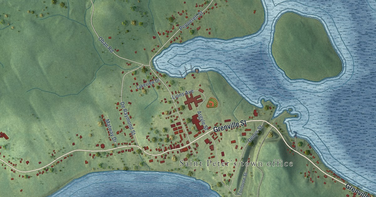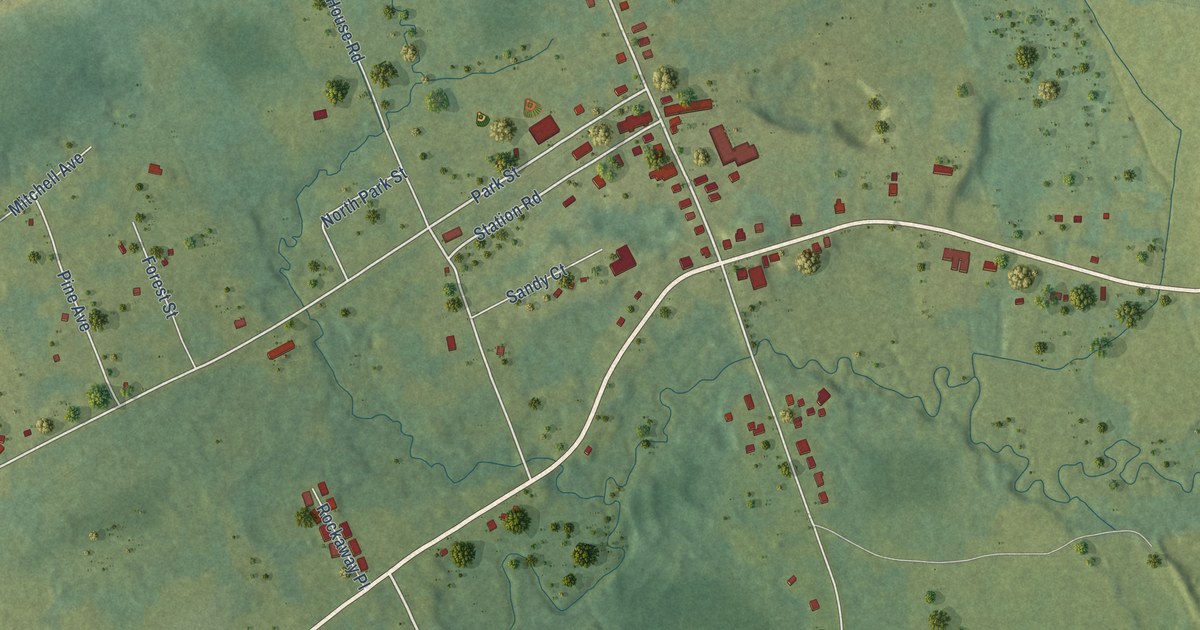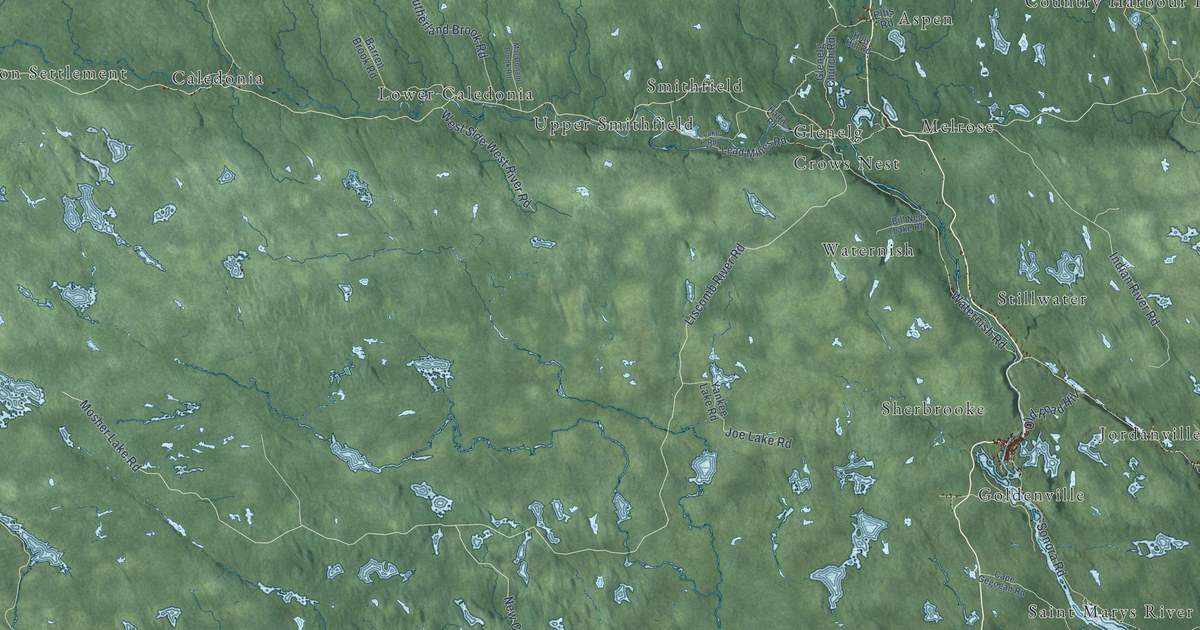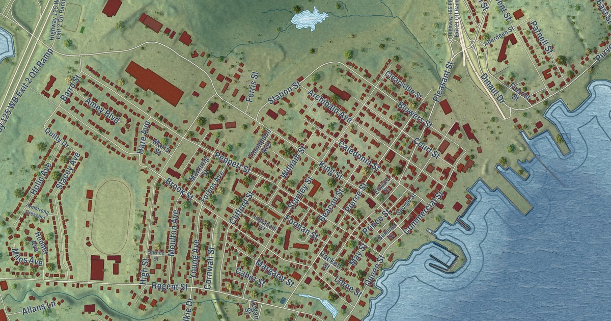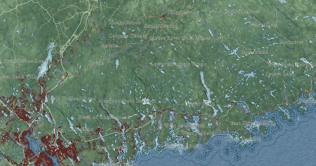
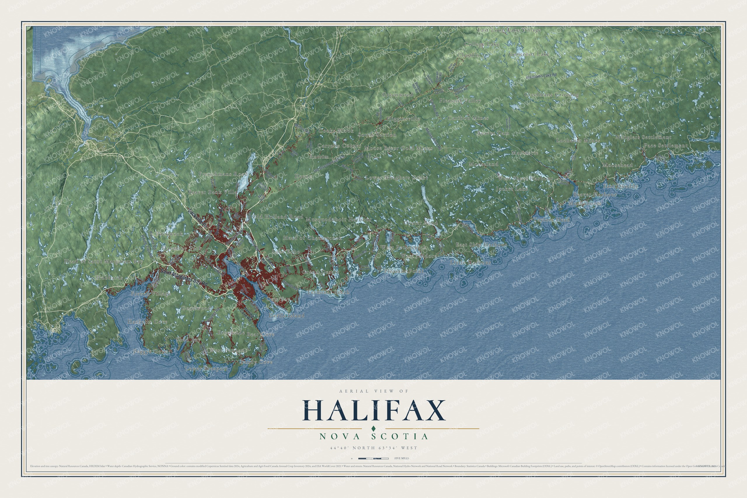
This beautifully detailed map of Halifax, Nova Scotia was created in 2026 using aerial imagery combined with modern topographical, census, street and landmark data. It’s a one-of-a-kind view of Halifax that combines accurate data with a vintage aesthetic. The map shows every building in its true location, many of the roads carry their names, and the shaded topographic relief shows the shape of the land.
Explore an aerial view of Halifax, Nova Scotia
On the map you’ll find Pace Settlement, South Section, Peggys Cove, Pleasant Point, Chaplin, Mushaboom, East Ship Harbour, Sandy Cove, Head of Saint Margarets Bay, Greenwood, and Lochaber Mines, along with Frenchmans Road, and more. If you look closely you can even find your house accurately drawn in its correct location. Zoom in on the preview to look for yours.
Take a closer look at the Halifax map
Names on this map
These names are printed on this map.
Places: Pace Settlement, South Section, Peggys Cove, Pleasant Point, Chaplin, Mushaboom, Frenchmans Road, East Ship Harbour, Sandy Cove, Head of Saint Margarets Bay, Greenwood, Lochaber Mines, Antrim, Lake Echo, East Loon Lake Village, Pockwock, Mooseland, Oyster Pond, Hubbards, Goodwood, Marinette, Shad Bay, Beaver Harbour, Moosehead, Head of Chezzetcook, Creelmans Crossing, Terminal Beach, Higginsville, Little Harbour, Musquodoboit Harbour, Cooks Brook, Beaver Bank Villa, Devon, Devils Island, Pleasant Valley, Bear Cove, Moose River Gold Mines, Hacketts Cove, Lower Meaghers Grant, Grand Desert, West Sheet Harbour, West Jeddore, Lower Prospect, East Quoddy, Cow Bay, Brookside, West Pennant, Old Holland Road, French Village, Jacket Lake, Beaver Dam, West Petpeswick, College Lake, Governor Lake, Harmony Park, Caribou Mines, Nauglers Settlement, Carrolls Corner and Taylors Head.
Streets and roads: Saint Margarets Bay Road, Sackville Drive, Old Guysborough Road, Caribou Road, Prospect Road, Cobequid Road, Abrahams Lake Road, Waverley Road, Moose River Road, Hiking Trail Road, Milford Road, Bissett Road.
More street names, A to Z
Antrim Road, Beaver Bank Road, Beaver Dam Mines Road, Bedford Bypass, Bedford Highway, Bennery Lake Road, Benvie Hill Road, Branch Road, Brookside Road, Butcher Hill Road, Butler Road, Clam Harbour Road, Conrod Beach Road, Cow Bay Road, Dean Back Road, Deckman Back Road, Forest Hills Extension, Gate Road, Glenmore Road, Hammonds Plains Road, Herring Cove Road, High Road, Holland Road, Island View Drive, John Grant Back Road, Kearney Lake Road, Ketch Harbour Road, Kings Road, Larry Uteck Boulevard, Lays Lake Road, Leslie Road, Logan Road, Loon Loop, Lucasville Road, Main Avenue, Marine Gateway, Mines Road, Mineville Road, Mooseland Road, Myra Road, Oldham Road, Old Trunk Road, Ostrea Lake Road, Owl Drive, Oxford Street, Peggys Cove Road, Perrin Drive, Pine Hill Drive, Pipeline Road, Pleasant Street, Pleasant Valley Road, Pool Road, Poplar Drive, Prospect Bay Road, Purcells Cove Road, River Drive, Rocky Lake Drive, Ross Road, Sandy Run, Shore Road, Sky Boulevard, South Shore Road, Stewart Hill Road, Taylor Park Road, Terence Bay Road, Una Drive, West Petpeswick Road, West Porters Lake Road, West Ship Harbour Road, Windgate Drive, Windmill Road, Wyse Road.
See it on a wall
The Halifax map as an 18 x 24 inch print in a black frame.

This beautifully detailed map of Halifax makes an attractive addition to your office, library, or den, and it can even be used to teach children the geography and history of the area. It also makes a great gift for anyone who grew up in Halifax or moved away. When you’re done exploring, click here to get your copy of the Halifax map.