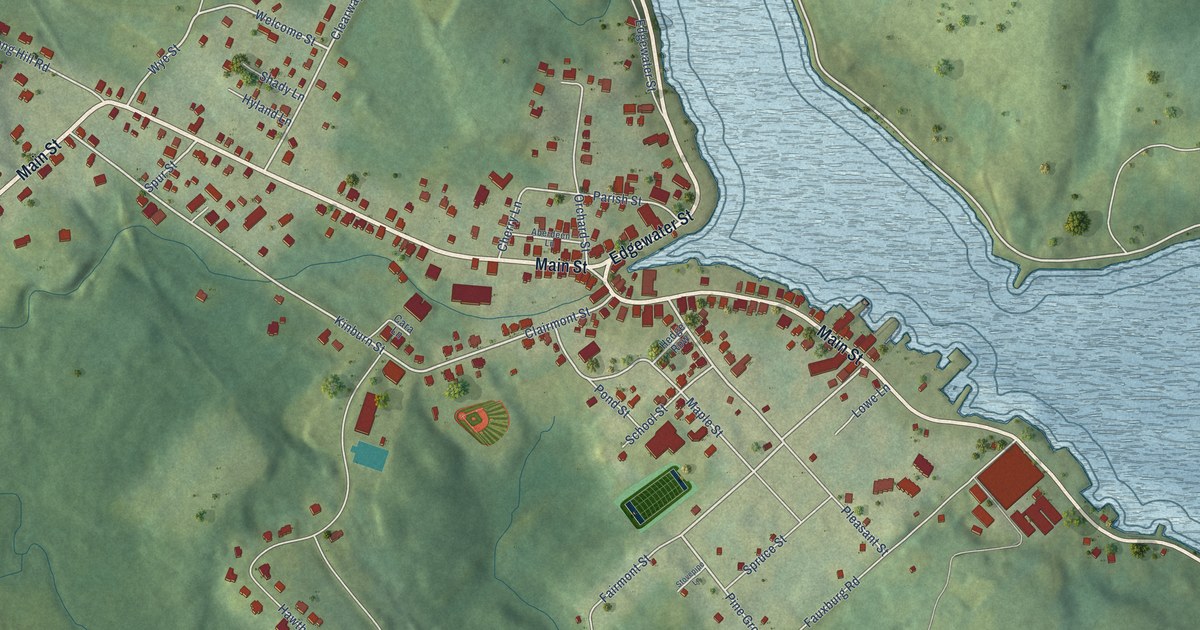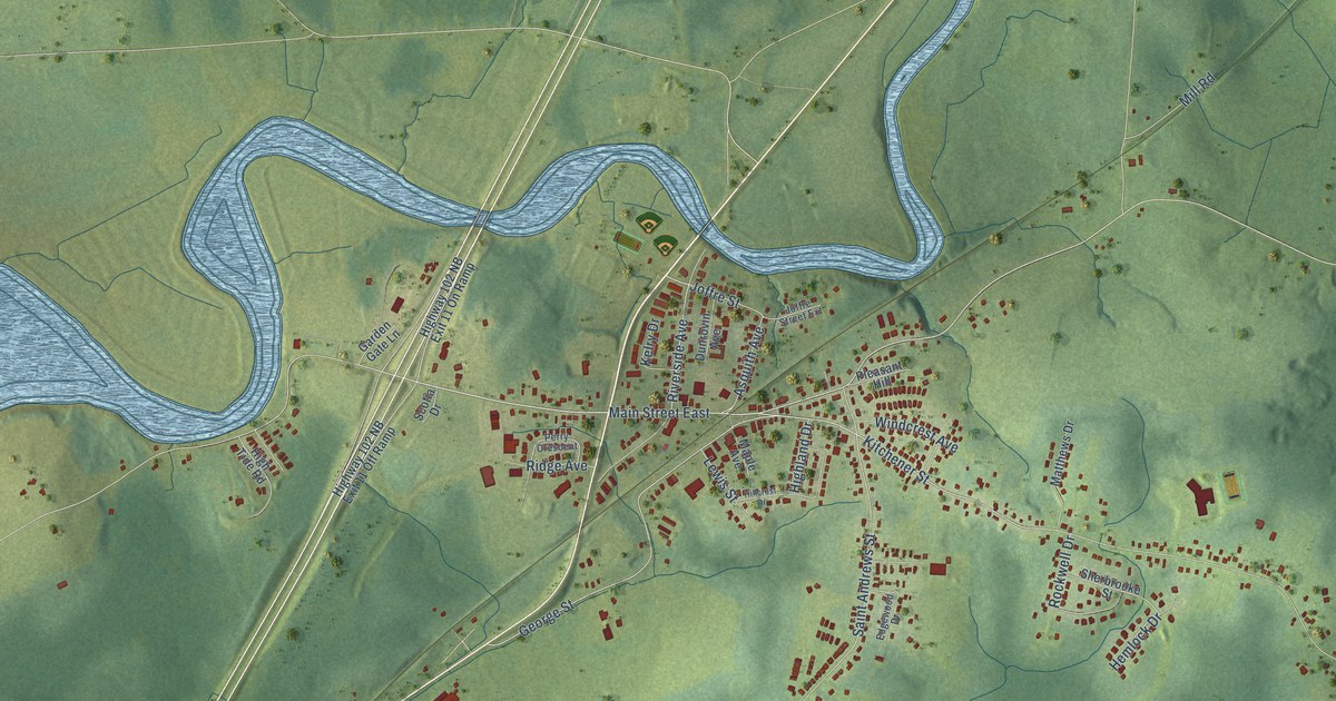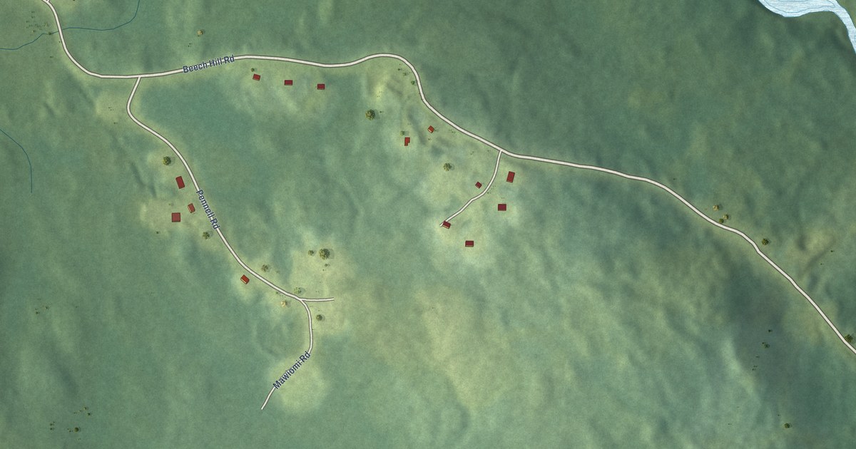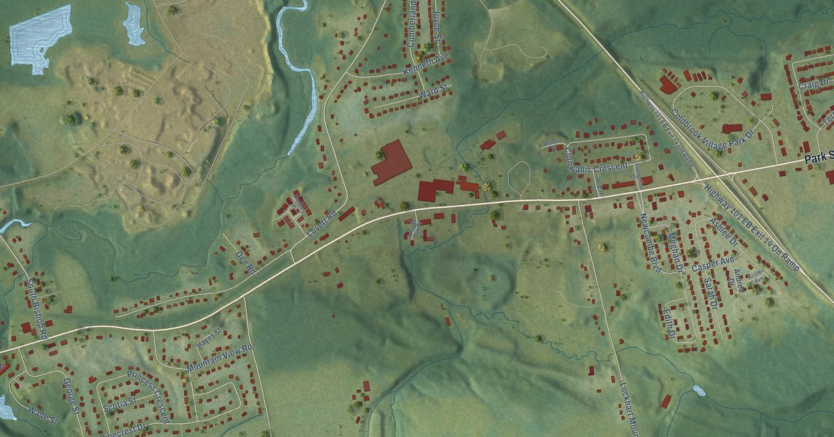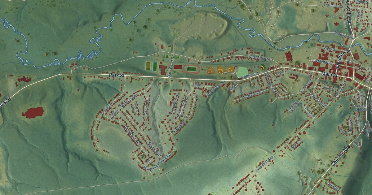
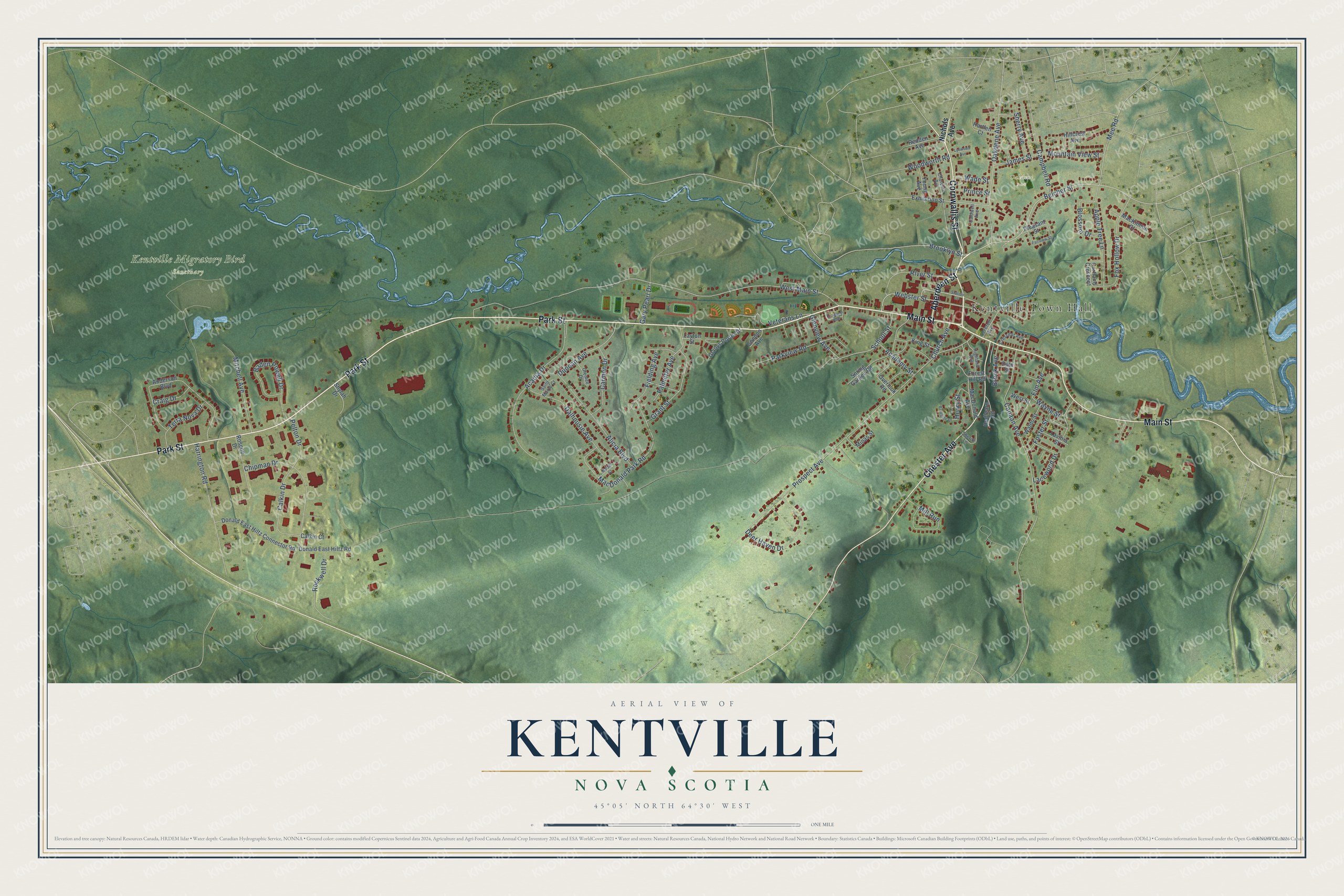
This beautifully detailed map of Kentville, Nova Scotia was created in 2026 using aerial imagery combined with modern topographical, census, street and landmark data. It’s a one-of-a-kind view of Kentville that combines accurate data with a vintage aesthetic. The map shows every building in its true location, many of the roads carry their names, and the shaded topographic relief shows the shape of the land.
Explore an aerial view of Kentville, Nova Scotia
On the map you’ll find Kentville Town Hall, Kentville Migratory Bird Sanctuary, and Oakdene Park, along with Park Street, Main Street, Cornwallis Street, Aberdeen Street, Chester Avenue, Belcher Street, Webster Street, Oakdene Avenue, Mee Road, and more. If you look closely you can even find your house accurately drawn in its correct location. Zoom in on the preview to look for yours.
Take a closer look at the Kentville map
Names on this map
These names are printed on this map.
Places: Kentville Town Hall, Kentville Migratory Bird Sanctuary and Oakdene Park.
Streets and roads: Park Street, Main Street, Cornwallis Street, Aberdeen Street, Chester Avenue, Belcher Street, Webster Street, Oakdene Avenue, Mee Road, Wade Street, Palmeter Avenue, Prospect Avenue.
More street names, A to Z
Academy Street, Acadia Drive, Alicia Boulevard, Anderson Boulevard, Apple Tree Lane, Baden Powell Drive, Blossom Drive, Braeside Drive, Brook Avenue, Brooklyn Street, Caldwell Avenue, Calkin Court, Calkin Drive, Campbell Road, Canaan Avenue, Carmen Drive, Chipman Drive, Church Avenue, Churchill Avenue, Condon Avenue, Cortland Crescent, Craig Drive, Crescent Avenue, Dale Street, Dalhousie Avenue, Deer Haven Drive, Donald East Hiltz Connector Road, Donald East Hiltz Road, Duncan Avenue, Elizabeth Avenue, Elm Avenue, Exhibition Street, Fairview Street, Fielding Avenue, Forest Hill Road, Foster Street, Fox Hollow Drive, Gary Pearl Drive, Gladys Porter Drive, Glenlee Drive, Glenview Avenue, Grant Street, Harrington Road, Hartlen Court, Henry Street, Highland Avenue, Hillcrest Avenue, James Street, King Street, Lacewood Drive, Lavinia Street, Layton Street, Leverett Avenue, Lynwood Avenue, MacDonald Avenue, MacDonald Park Road, MacKinnon Court, McGill Court, Mill Run, Minas Street, Mitchell Avenue, Mountain View Street, Nichols Avenue, Overlook Road, Parkview Road, Pelton Drive, Pleasant Street, Prince Street, Redden Avenue, Redfearn Road, River Street, Rockwell Drive, Roscoe Drive, Saint Marys Court, School Street, Sheriff Lane, Sherry Avenue, Shylah Drive, Spring Garden Road, Station Lane, Terra Nova Drive, Veterans Lane, Waldo Street, Wayne Street, West Main Street, West Street, Woodworth Road, Young Avenue.
See it on a wall
The Kentville map as an 18 x 24 inch print in a black frame.

This beautifully detailed map of Kentville makes an attractive addition to your office, library, or den, and it can even be used to teach children the geography and history of the area. It also makes a great gift for anyone with Kentville roots. When you’re done exploring, click here to get your copy of the Kentville map.