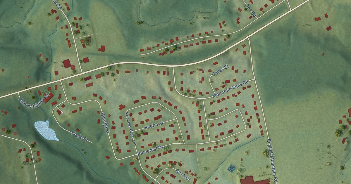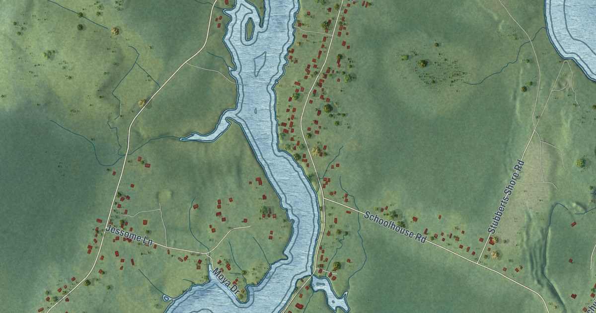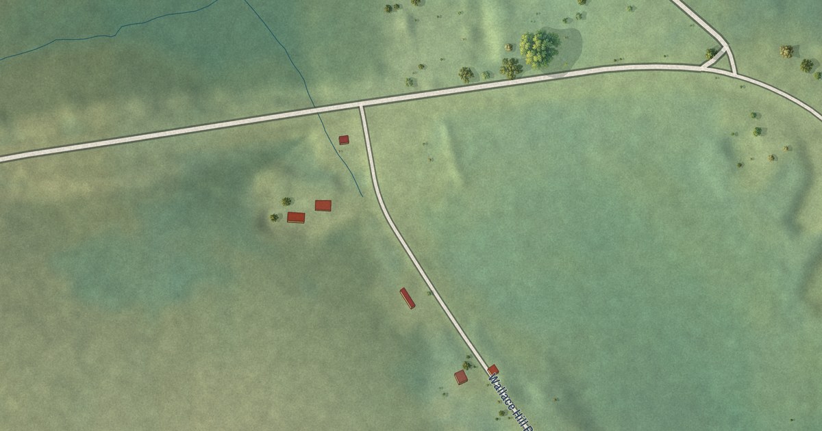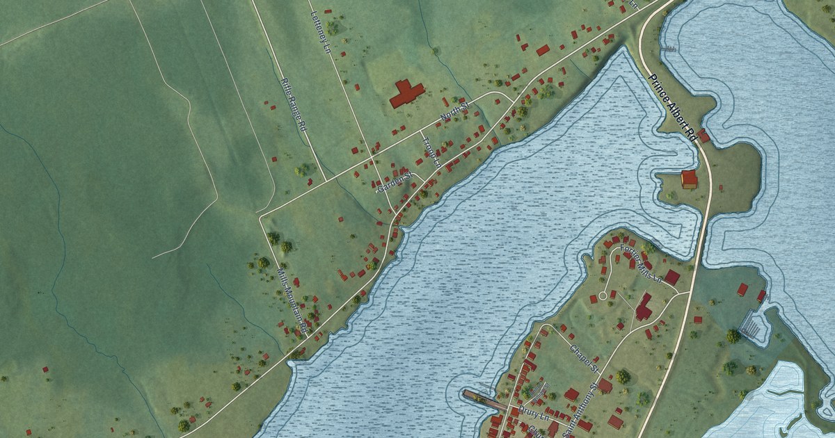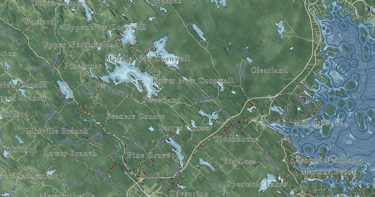
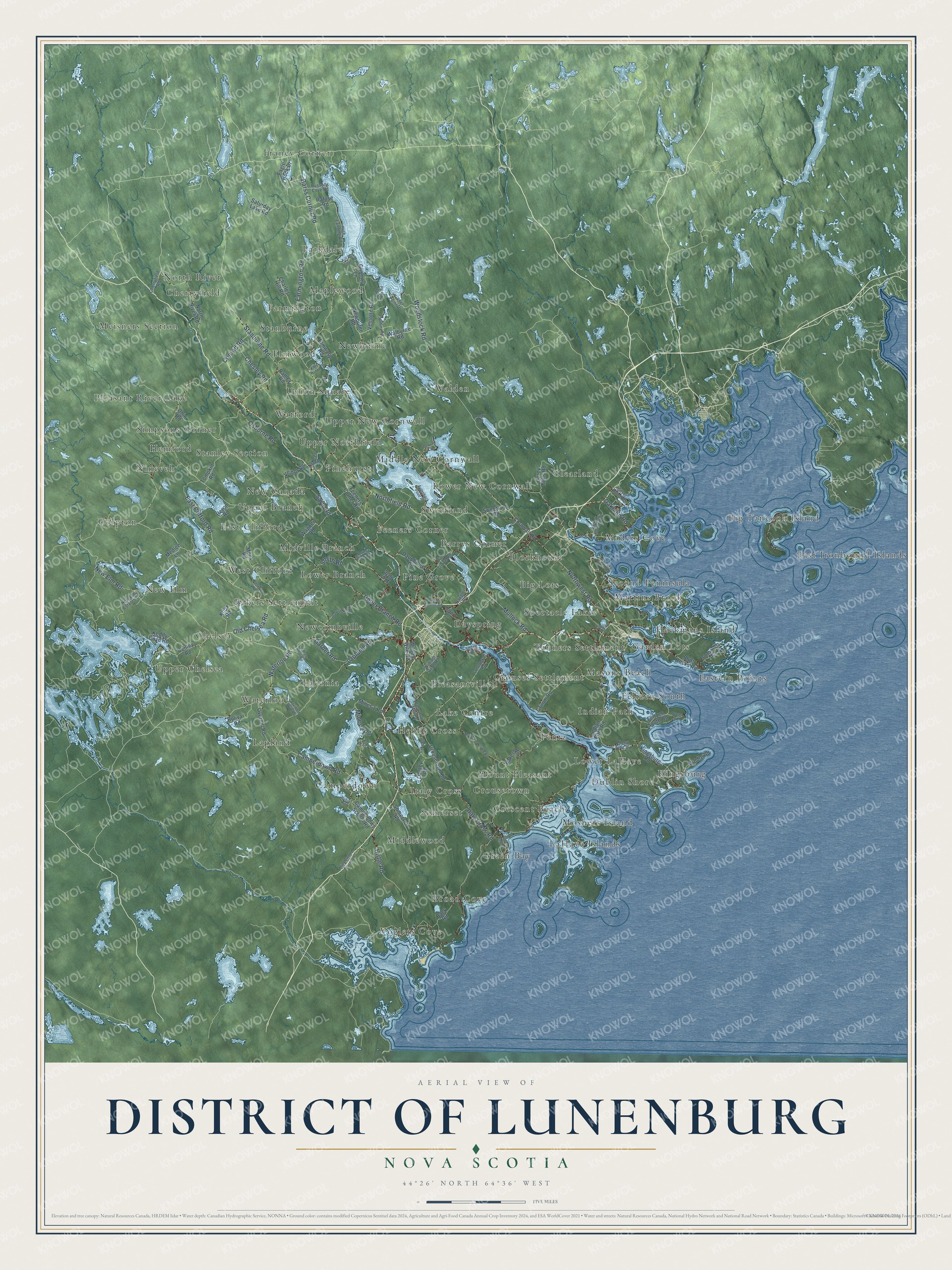
This beautifully detailed map of District of Lunenburg, Nova Scotia was created in 2026 using aerial imagery combined with modern topographical, census, street and landmark data. It’s a one-of-a-kind view of District of Lunenburg that combines accurate data with a vintage aesthetic. The map shows every building in its true location, many of the roads carry their names, and the shaded topographic relief shows the shape of the land.
Explore an aerial view of District of Lunenburg, Nova Scotia
On the map you’ll find Barrys Corner, Voglers Cove, Franey Corner, East Ironbound Islands, New Elm, Cherryfield, Moshers Island, Walden, Eastern Points, Pleasant River Lake, Newcombville, Italy Cross, and more. If you look closely you can even find your house accurately drawn in its correct location. Zoom in on the preview to look for yours.
Take a closer look at the District of Lunenburg map
Names on this map
These names are printed on this map.
Places: Barrys Corner, Voglers Cove, Franey Corner, East Ironbound Islands, New Elm, Cherryfield, Moshers Island, Walden, Eastern Points, Pleasant River Lake, Newcombville, Italy Cross, Indian Path, New Canada, Union Square, Waterloo, Lake Centre, Parkdale, Martins Brook, East Clifford, Lower New Cornwall, Dayspring, Farmington, Green Bay, Lower Branch, Broad Cove, Colpton, Upper Northfield, Spectacle Lakes, Pentz, Laconia, Hemford, Middlewood, Kingsburg, Stanburne, Crousetown, Chelsea, Feltzen South, Big Tancook Island, Mount Pleasant, Upper Chelsea, Midville Branch, Hebbs Cross, Newburne, Clearland, Blockhouse, Garden Lots, Sweetland, Crescent Beach, Simpsons Corner, Feeners Corner, West Clifford, Pine Grove, Lapland, Crouses Settlement, Big Lots, Camperdown, Heckmans Island, Watford, Maders Cove, Upper New Cornwall, Maplewood, Middle New Cornwall, Lower LaHave, Upper Branch, Bakers Settlement, Somerset, Masons Beach, Dublin Shore, Elmwood, Pleasantville, Stanley Section, Second Peninsula, North River, Nineveh, LaHave Islands, Tanners Settlement, Meisners Section and Pinehurst.
Streets and roads: Barss Corner Road, Northfield Road, Farmington Road, Northwest Road, Waterloo Road, Italy Cross Road, Upper Branch Road, Woodstock Road, Old Chelsea Road, Camperdown Road, Smith Road, New Elm Road.
More street names, A to Z
Abram Deal Road, Adelbert Wile Road, Auburndale Road, Aulenback Point Road, Back Road, Baker Road, Blue Rocks Road, Boat Cove Road, Bolivar Road, Camperdown School Road, Charles Hill Road, Cherryfield Road, Chesley Road, Conquerall Mills Road, Conquerall Road, Conrad Road, Cornwall Road, Crousetown Road, Dagley Road, Dauphinee Road, Dorey Mills Road, Eagle Rock Drive, East Clifford Road, Eco Lane, Elmwood Road, Feeners Corner Road, Feltzen South Road, Forest View Drive, Gail Avenue, Garber Road, Gilberts Lane, Green Bay Road, Grimm Road, Harold Whynot Road, Henley Road, Heron Road, High Landing Road, Hirtle Road, Huber Road, Indian Path Road, Keddy Cove Road, Kill Dog Cove Road, Kingsburg Road, Knox Road, Lake Road, Lapland Road, Lawral Lane, Lilydale Road, Maders Cove Road, McKeen Road, Medlee Lane, Middle Road, Middlewood Diversion, Milbury Road, Mines 1 Road, Mines 2 Road, Monk Road, Mullock Road, Naugler Road, Newburne Road, New Cumberland Road, New Elm Estates Drive, North River Road, North Side Road, Oakhill Road, Oakland Road, Ohio Road, Osborne Road, Ovens Road, Overhill Road, Pine Grove Road, Rafuse Road, Ramey Road, Rocky Road, Russells Cove Road, Sarty Road, Saturday Lake Road, Shore Drive, Silver Point Road, Sleepy Hollow Road, Somerset Road, Stanburne Road, Stonehurst Road, Sweetland Road, Tompkin Road, Turner Point Drive, Vant Hof Lane, Veinot Road, Veinotte Road, Wagner Road, Walburne Road, Wentzell Road, William Hebb Road, William Wile Road.
See it on a wall
The District of Lunenburg map as an 18 x 24 inch print in a black frame.

This beautifully detailed map of District of Lunenburg makes an attractive addition to your office, library, or den, and it can even be used to teach children the geography and history of the area. It also makes a great gift for someone who left District of Lunenburg and still calls it home. When you’re done exploring, click here to get your copy of the District of Lunenburg map.