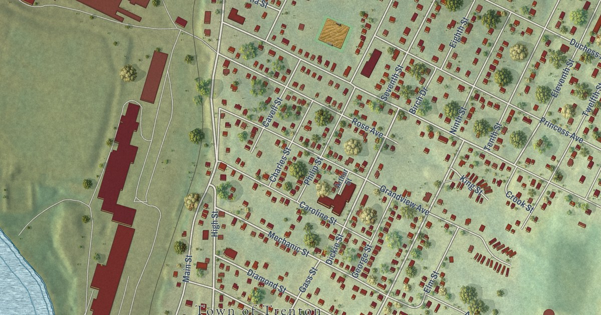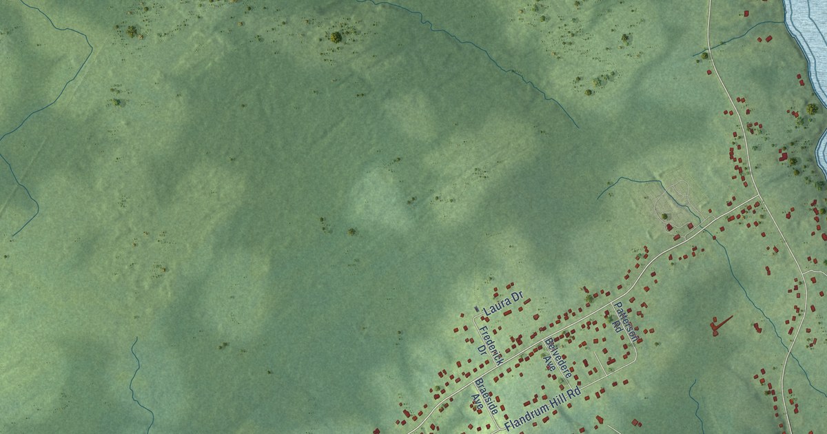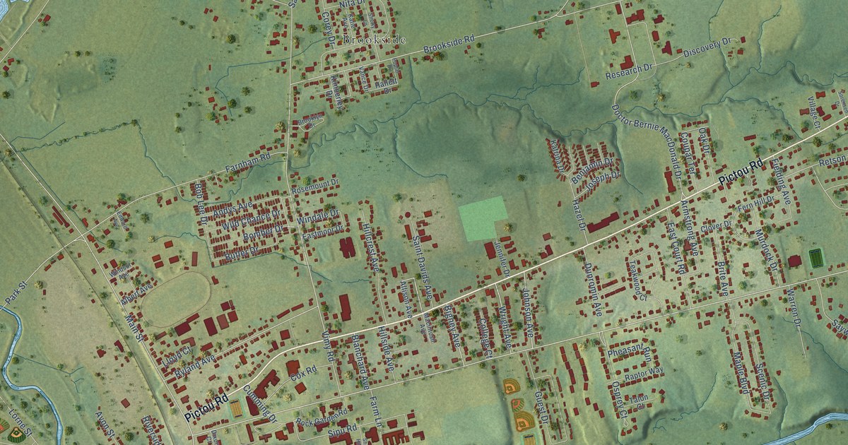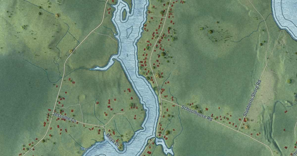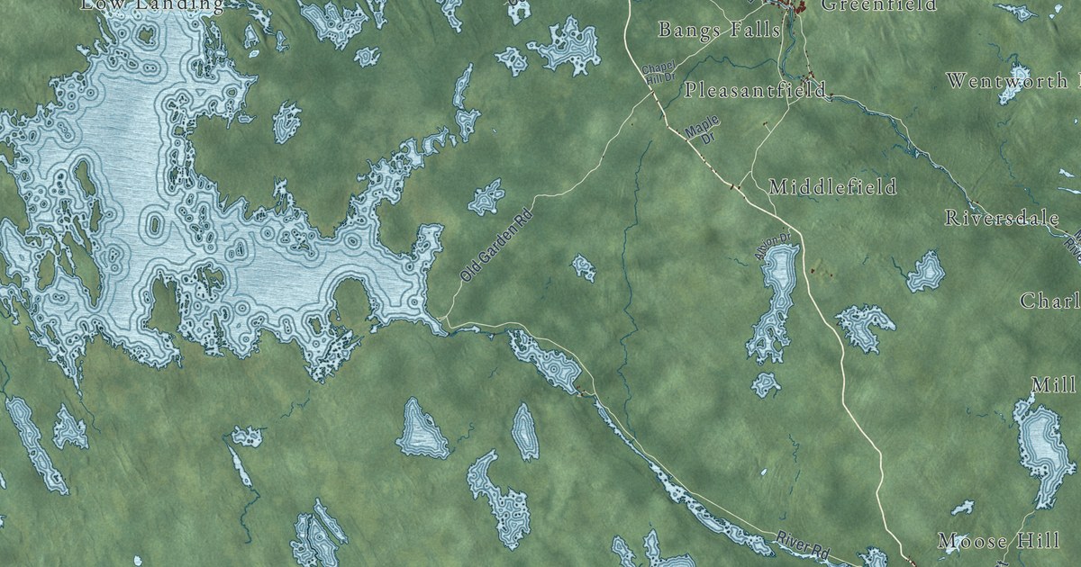
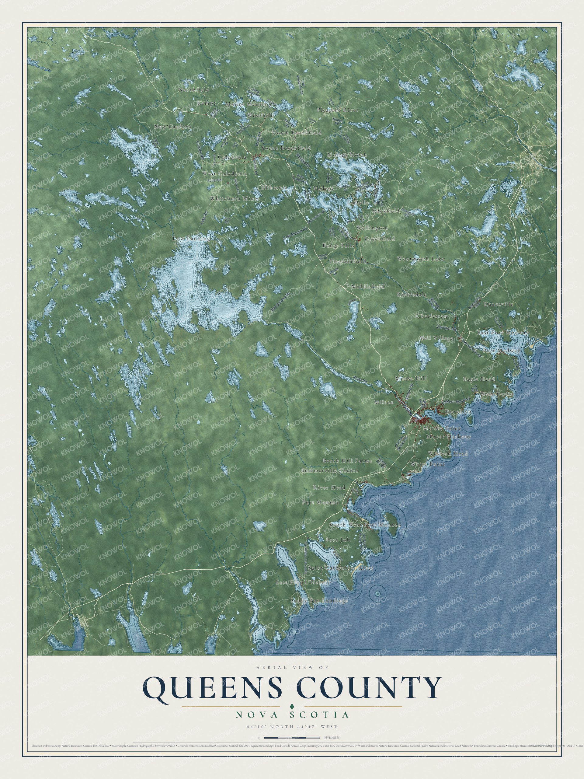
This beautifully detailed map of Queens County, Nova Scotia was created in 2026 using aerial imagery combined with modern topographical, census, street and landmark data. It’s a one-of-a-kind view of Queens County that combines accurate data with a vintage aesthetic. The map shows every building in its true location, many of the roads carry their names, and the shaded topographic relief shows the shape of the land.
Explore an aerial view of Queens County, Nova Scotia
On the map you’ll find Milton, Pleasant River, East Port L’Hebert, Whiteburn Mines, Danesville, River Head, Northfield, LaBelle, West Berlin, Middlefield, Low Landing, Caledonia, and more. If you look closely you can even find your house accurately drawn in its correct location. Zoom in on the preview to look for yours.
Take a closer look at the Queens County map
Names on this map
These names are printed on this map.
Places: Milton, Pleasant River, East Port L'Hebert, Whiteburn Mines, Danesville, River Head, Northfield, LaBelle, West Berlin, Middlefield, Low Landing, Caledonia, Port Joli, North Brookfield, New Grafton, White Point, Riversdale, Western Head, Wentworth Lake, Port Medway, Greenfield, South West Port Mouton, Molega North, West Caledonia, Mill Village, Westfield, Brooklyn, South Brookfield, Hibernia, Molega, Saint Catherines River, Kempt, Pleasantfield, Charleston, East Port Medway, Buckfield, Moose Hill, Port Mouton, Moose Harbour, Bangs Falls, Mount Merrit, Beech Hill Farms, Summerville Centre, Eagle Head, Wellington, Sandy Bay Landings and Mersey Point.
Streets and roads: Old Garden Road, River Road, West Street, Molega Road, Lake Road, Corkum Road, Eastern Shore Road, Milford Street, Zwicker Road, Cow Moose Road, Old Port Mouton Road, Hibernia Road.
More street names, A to Z
9-40 Road, 11-5 Road, Albany New Road, Albion Drive, Arenburg Road, Baker Point Road, Beech Hill Road, Bridge Road, Butler Road, Carver Road, Central Port Mouton Road, Chapel Hill Drive, County Line Station Road, Cow Road, Danesville Loop, Domino Drive, East Port L'Hebert Road, Echo Lodge Road, Great Hill Road, Harmony Road, Island View Terrace, Labelle Road, Lohnes Road, Long Cove Road, Main Parkway, Main Street, Maple Drive, Medway River Road, Moosehorn Drive, Mores Point Road, Narrows Road West, Old Annapolis Road, Old Westfield Road, Old Woods Property Road, Peters Point Road, Port Medway Road, Quarry Road, River Head Road, Rosette Road, Saint Catherines River Road, Salmon Bay Drive, Sand Cove Road, Scout Camp Road, Selig Road, Smith Road, Westfield Road, Whiteburne Road.
See it on a wall
The Queens County map as an 18 x 24 inch print in a black frame.

This beautifully detailed map of Queens County makes an attractive addition to your office, library, or den, and it can even be used to teach children the geography and history of the area. It also makes a great gift for anyone with Queens County roots. When you’re done exploring, click here to get your copy of the Queens County map.