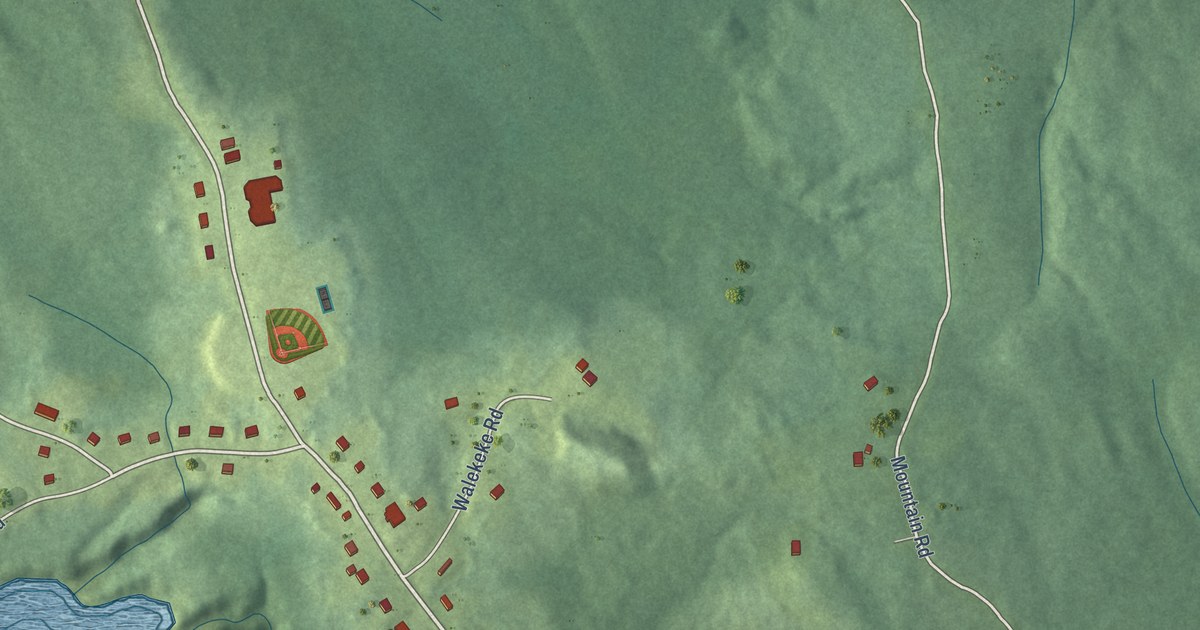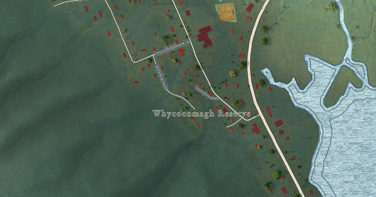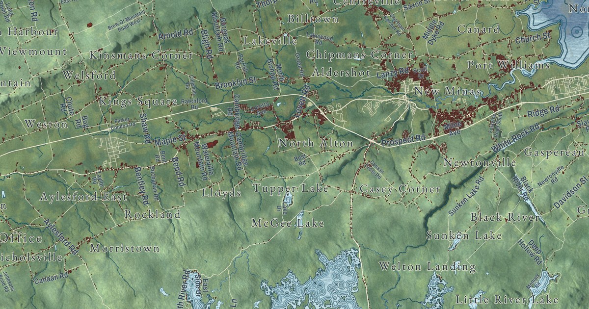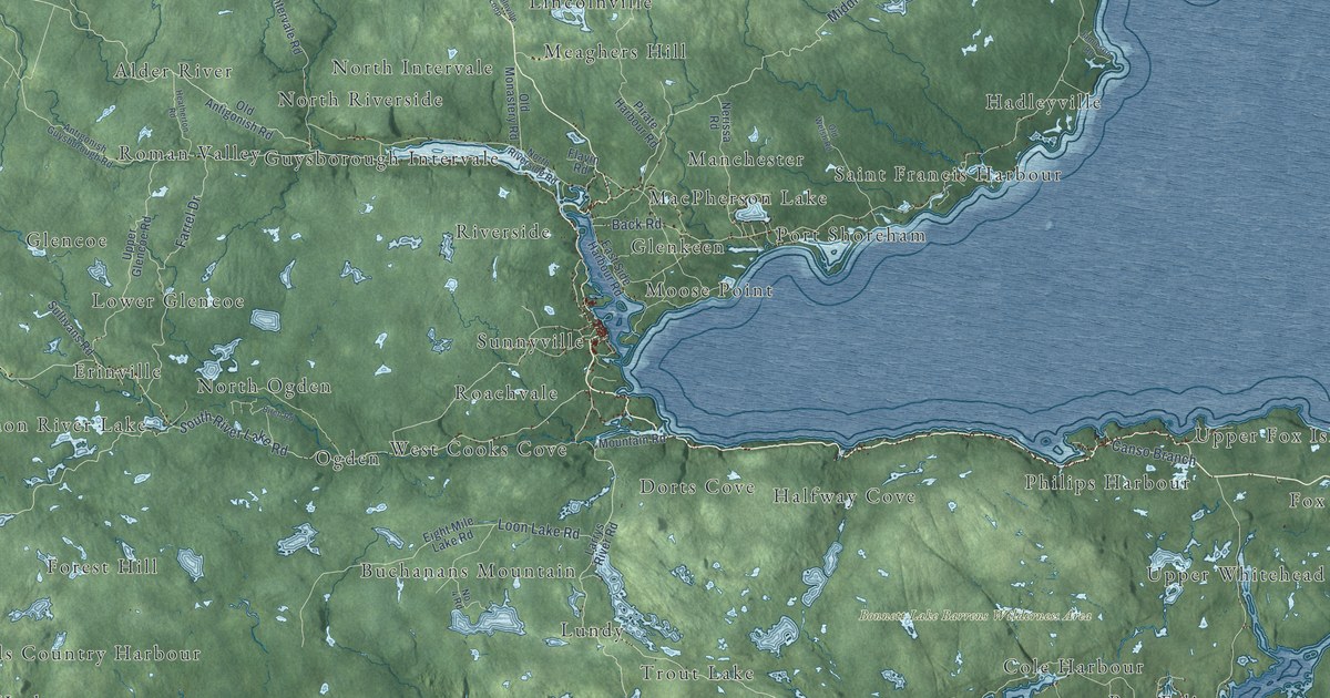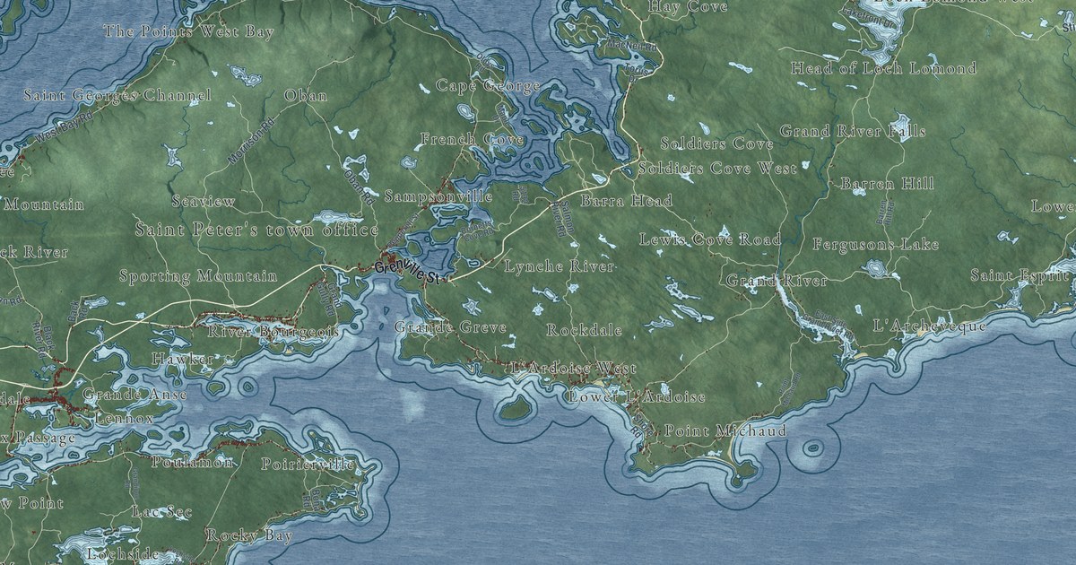
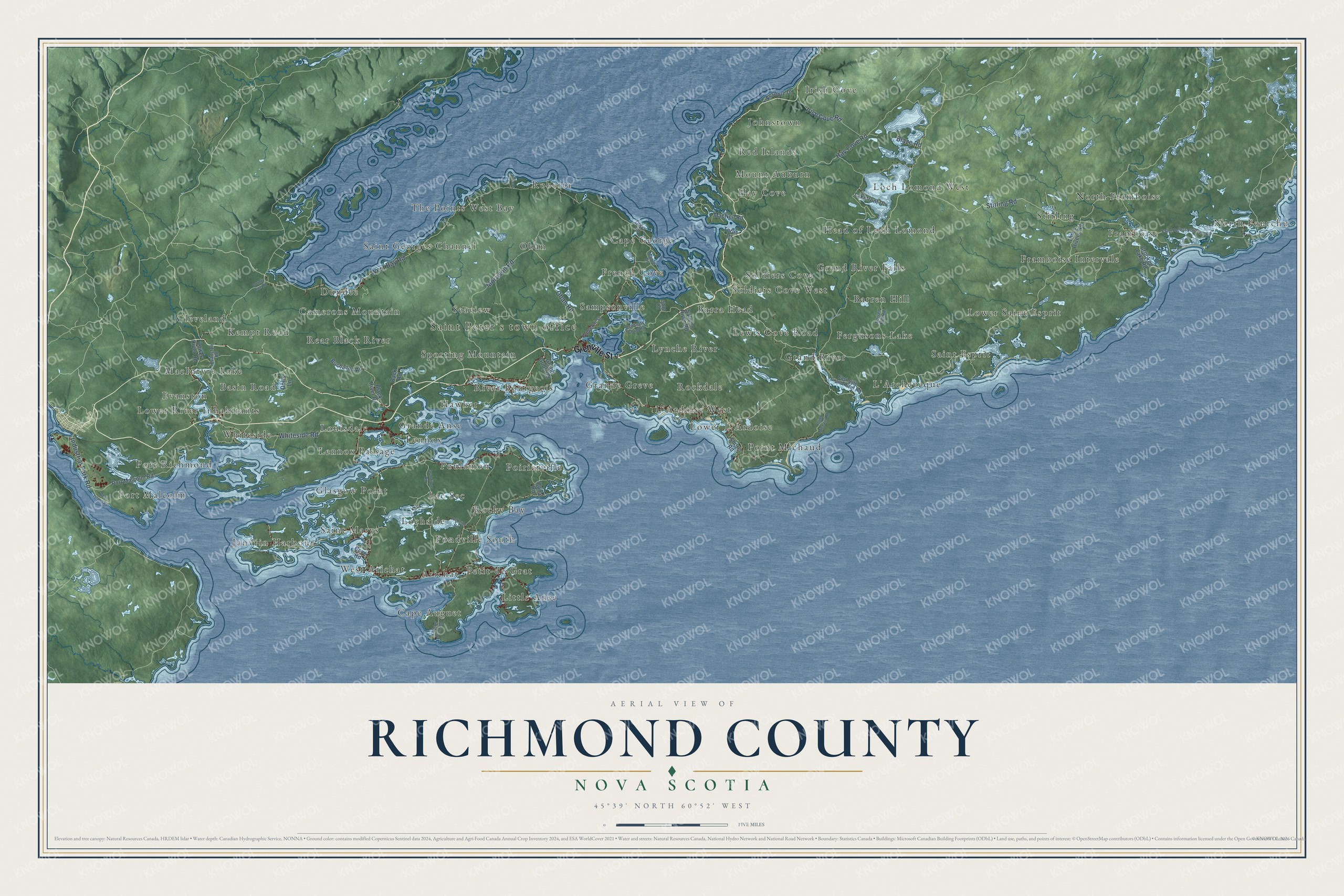
This beautifully detailed map of Richmond County, Nova Scotia was created in 2026 using aerial imagery combined with modern topographical, census, street and landmark data. It’s a one-of-a-kind view of Richmond County that combines accurate data with a vintage aesthetic. The map shows every building in its true location, many of the roads carry their names, and the shaded topographic relief shows the shape of the land.
Explore an aerial view of Richmond County, Nova Scotia
On the map you’ll find Saint Peter’s town office, North Fourchu, Johnstown, Little Anse, L’Archeveque, Framboise Intervale, Roberta, Poirierville, Janvrin Harbour, Point Michaud, and Camerons Mountain, along with Kempt Road, and more. If you look closely you can even find your house accurately drawn in its correct location. Zoom in on the preview to look for yours.
Take a closer look at the Richmond County map
Names on this map
These names are printed on this map.
Places: Saint Peter's town office, North Fourchu, Johnstown, Little Anse, L'Archeveque, Kempt Road, Framboise Intervale, Roberta, Poirierville, Janvrin Harbour, Point Michaud, Camerons Mountain, Soldiers Cove, Glasgow Point, Grand River Falls, MacIntyre Lake, North Framboise, Cape Auguet, Lower Saint Esprit, The Points West Bay, Grande Anse, Loch Lomond West, Hay Cove, French Cove, Lac Sec, Port Richmond, River Bourgeois, Irish Cove, Saint Esprit, Saint Georges Channel, Whiteside, Grand River, L'Ardoise West, Rear Black River, Seaview, Sampsonville, Dundee, Arichat, Oban, Lennox Passage, Mount Auburn, Saint Marys, Hawker, Poulamon, Stirling, Cleveland, Cape George, Head of Loch Lomond, Pondville South, Lower River Inhabitants, Barra Head, Lynche River, Rocky Bay, West Arichat, Framboise, Grande Greve, Red Islands, Lennox, Basin Road, Sporting Mountain, Barren Hill, Lewis Cove Road, Port Malcolm, Louisdale, Fergusons Lake, Lower L'Ardoise, Soldiers Cove West, Petit-de-Grat, Rockdale, Evanston and Lochside.
Streets and roads: Grenville Street, West Bay Road, Whiteside Road, Stirling Road, Hay Cove Road, Industrial Park Road, Oban Road, Morrison Road, Blaze Road, Irish Cove Road, Three Rivers Road, Port Malcolm Road.
More street names, A to Z
5132 Road, Back Road, Barren Hill Road, Bear Island Road, Black River Road, Bona Road, Buchanan Road, Corbetts Cove Road, County Line Road, Cove Road, Crooked Lake Road, Doris Lane, East Side Grand River Road, Eileens Lane, Evanston Road, Grand Gully Road, Grandique Road, Lakefront Drive, Lakeshore Drive, Lobster Plant Road, Lochside Road, Lower River Road, MacNeil Road, Maple Drive, Oldys Road, Pepperell Street, Point Michaud Road, Saint Peters Fourchu Road, Salmon River Road, Shore Road, Torus Drive.
See it on a wall
The Richmond County map as an 18 x 24 inch print in a black frame.

This beautifully detailed map of Richmond County makes an attractive addition to your office, library, or den, and it can even be used to teach children the geography and history of the area. It also makes a great gift for anyone with Richmond County roots. When you’re done exploring, click here to get your copy of the Richmond County map.