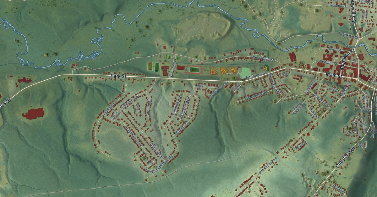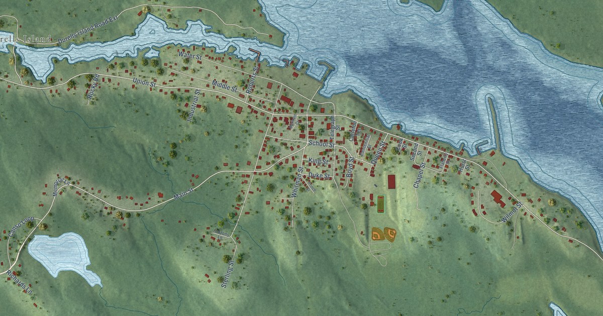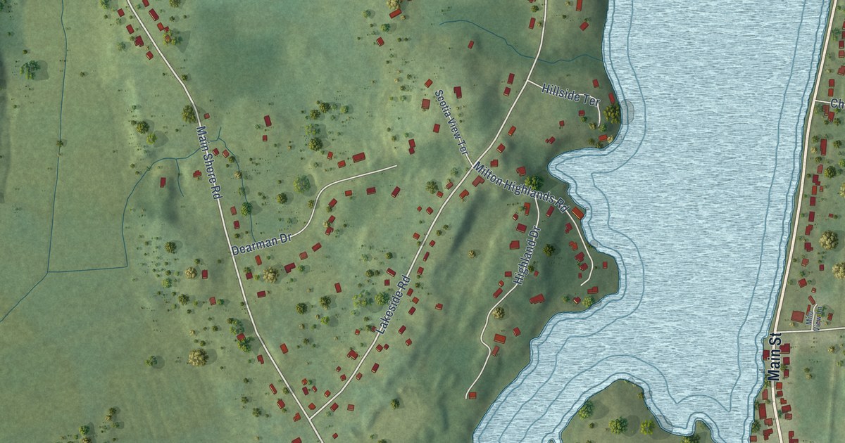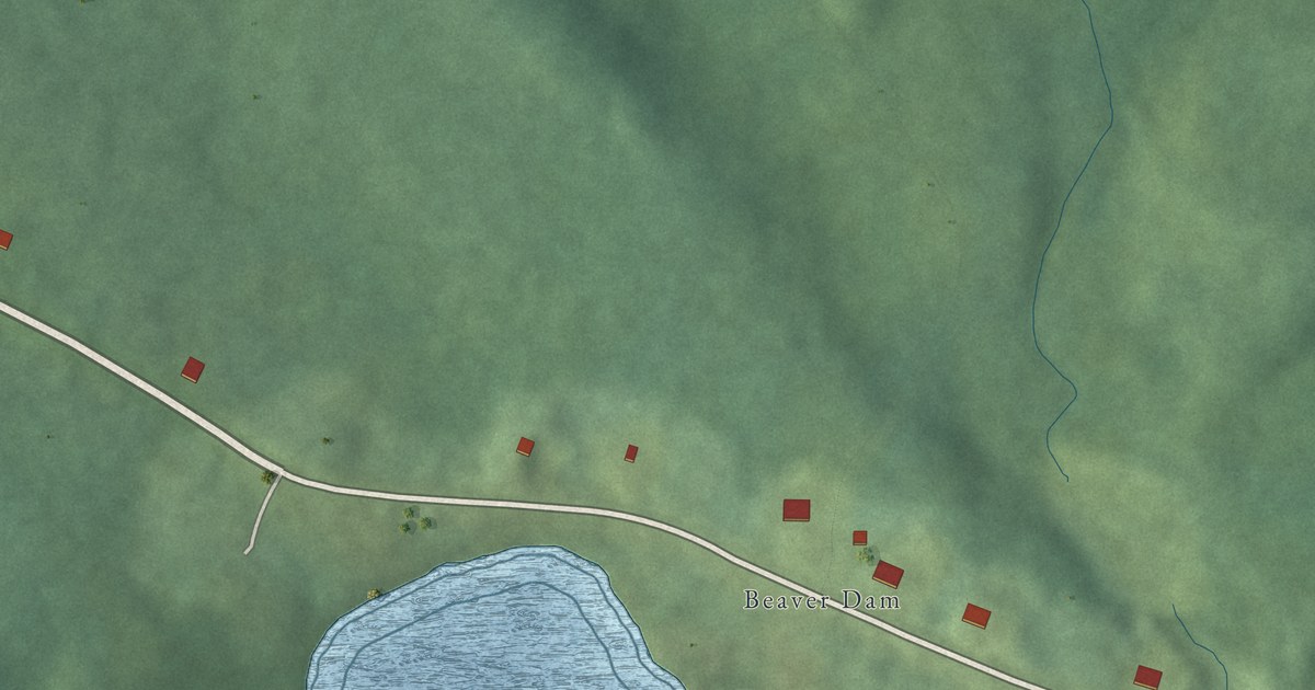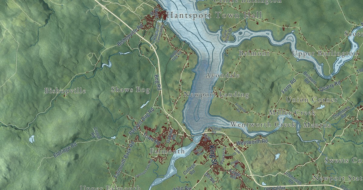
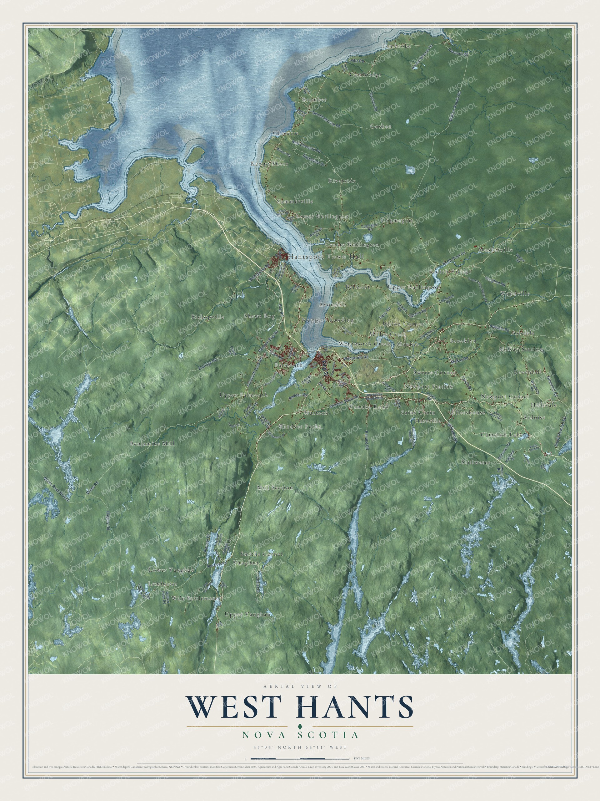
This beautifully detailed map of West Hants, Nova Scotia was created in 2026 using aerial imagery combined with modern topographical, census, street and landmark data. It’s a one-of-a-kind view of West Hants that combines accurate data with a vintage aesthetic. The map shows every building in its true location, many of the roads carry their names, and the shaded topographic relief shows the shape of the land.
Explore an aerial view of West Hants, Nova Scotia
On the map you’ll find Hantsport Town Hall, Leminster, Pembroke, Hillsvale, Windsor Forks, Mosherville, Cheverie, Hartville, Benjamins Mill, Upper Burlington, Bishopville, Goshen, and more. If you look closely you can even find your house accurately drawn in its correct location. Zoom in on the preview to look for yours.
Take a closer look at the West Hants map
Names on this map
These names are printed on this map.
Places: Hantsport Town Hall, Leminster, Pembroke, Hillsvale, Windsor Forks, Mosherville, Cheverie, Hartville, Benjamins Mill, Upper Burlington, Bishopville, Goshen, Smiths Corner, Ashdale, Miller Creek, Mill Section, Cogmagun, Lower Burlington, Newport Corner, Cambridge, Stillwater, Bramber, Scotch Village, Newport Landing, Kempt Shore, Panuke Road, Brooklyn, Cameron Lake, Riverside, Lower Vaughan, Greenhill, Upper Vaughan, Shaws Bog, Sweets Corner, Martock, McKay Section, Belmont, Upper Falmouth, Woodville, Ardoise, Centre Burlington, Falmouth, Wentworth Creek, Summerville, Saint Croix, Wile Settlement, Union Corner, Vaughan, Mantua, Newport Station, Ellershouse and Avondale.
Streets and roads: King Street, Wentworth Road, Bog Road, Falmouth Back Road, Payzant Bog Road, Windsor Back Road, Walton Woods Road, North River Road, Mines Road, New Cheverie Road, Bishopville Road, Pioneer Drive.
More street names, A to Z
Apple Tree Road, Armitage Road, Ashdale Road, Avondale Road, Bancroft Road, Bayswater Drive, Belmont Road, Bennie Muckle Road, Block Wharf Road, Canoe Lake Cove Road, Card Beach Road, Castle Frederick Road, Chalet Drive, Chambers Road, Clifton Avenue, Coach Road, Cogmagun Road, Cole Drive, Coles Road, College Road, Collier Road West, Colonial Road, Cove Road, Davidson Road, Dill Road, Dresser Minerals Road, Eagle View Drive, Eldridge Road, Falmouth Dyke Road, Ferry Road, Gabriel Road, Goshen Road, Greenhill Road, Hantsport Connection, Helen Dill Road, Highland Drive, Hiltz Road, Hingley Road, Hogan Road, Irishmans Road, Irven Drive, Landry Lane, Loon Drive, Lynch Road, Main Street, McKay Road, Mill Road, Mines Road Branch, New Ross Road, Nunn Road, Old Halifax Road West, Owens Road, Paradise Drive, Payzant Drive, Quarry Road, Redden Road, Rocks Road, Salmon Hole Dam Road, Sangster Bridge Road, Scotch Village Station Road, Sherman Lake Road, Ski Martock Road, South Rawdon Road, Stark Road, Stillwater Road, Summit Ridge Road, Thompson Road, Tonge Hill, Town Road, Vaughan Road, Village Path, Walker Road, Wilcox Road, Wile Settlement Road, Wilfred Hebb Road, Williams Road, Woodville Road.
See it on a wall
The West Hants map as an 18 x 24 inch print in a black frame.

This beautifully detailed map of West Hants makes an attractive addition to your office, library, or den, and it can even be used to teach children the geography and history of the area. It also makes a great gift for someone who left West Hants and still calls it home. When you’re done exploring, click here to get your copy of the West Hants map.