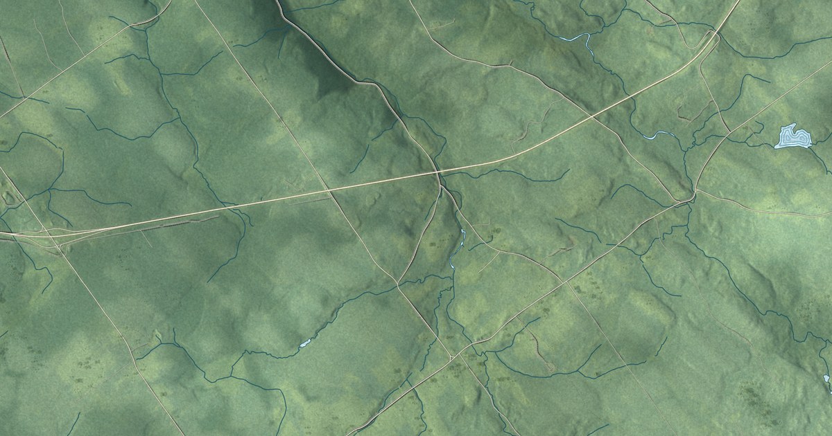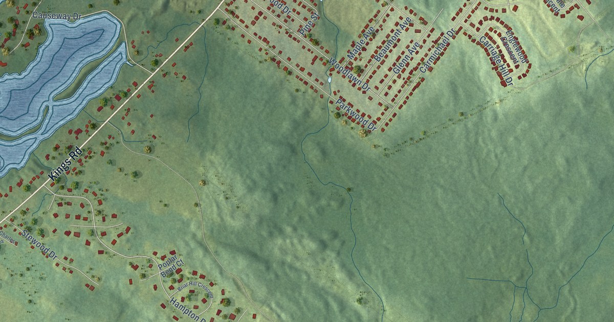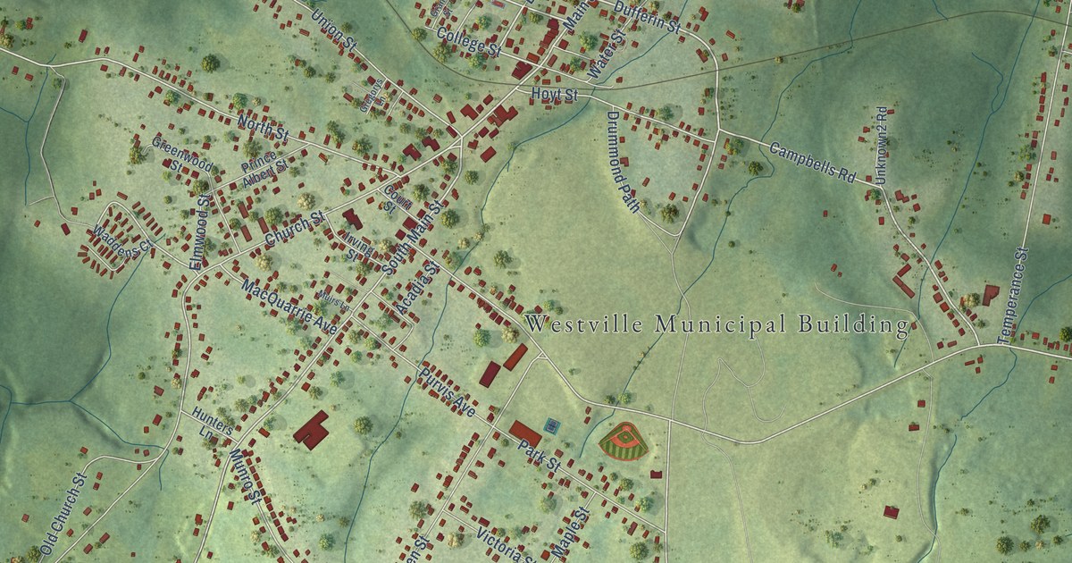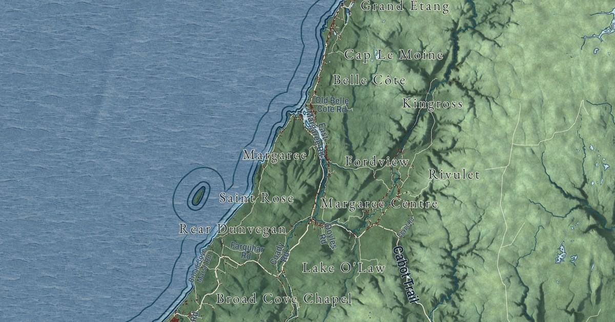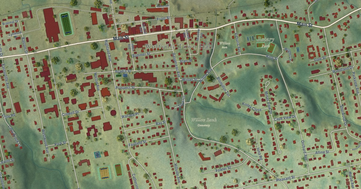
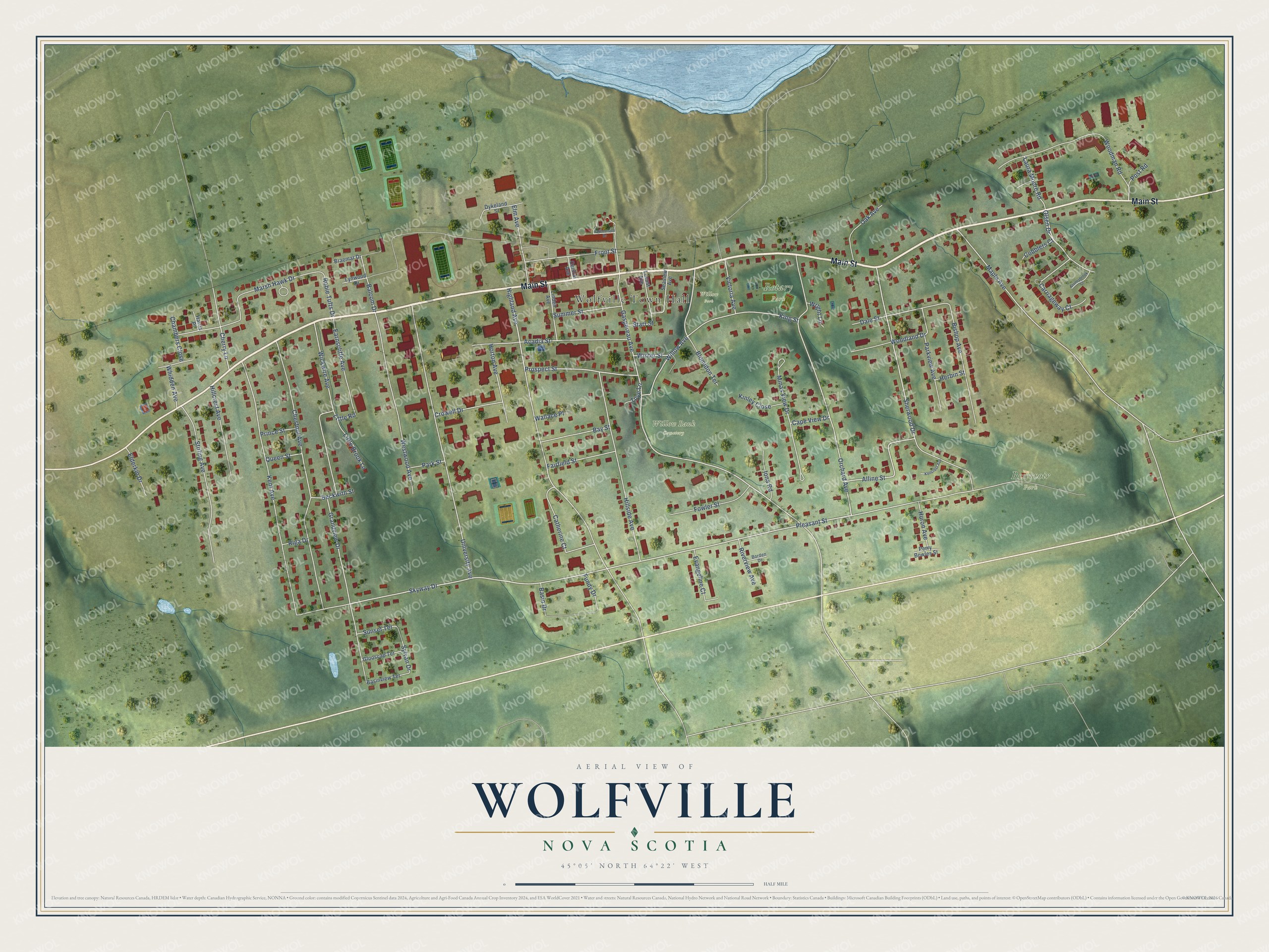
This beautifully detailed map of Wolfville, Nova Scotia was created in 2026 using aerial imagery combined with modern topographical, census, street and landmark data. It’s a one-of-a-kind view of Wolfville that combines accurate data with a vintage aesthetic. The map shows every building in its true location, many of the roads carry their names, and the shaded topographic relief shows the shape of the land.
Explore an aerial view of Wolfville, Nova Scotia
On the map you’ll find Wolfville Town Hall, Reservoir Park, Willow Bank Cemetery, Rotary Park, and Willow Park, along with Main Street, Pleasant Street, Highland Avenue, Sherwood Drive, Skyway Drive, Prospect Street, Orchard Avenue, and more. If you look closely you can even find your house accurately drawn in its correct location. Zoom in on the preview to look for yours.
Take a closer look at the Wolfville map
Names on this map
These names are printed on this map.
Places: Wolfville Town Hall, Reservoir Park, Willow Bank Cemetery, Rotary Park and Willow Park.
Streets and roads: Main Street, Pleasant Street, Highland Avenue, Sherwood Drive, Skyway Drive, Prospect Street, Orchard Avenue, Gaspereau Avenue, Alline Street, Cherry Lane, Olsen Drive, Willow Avenue.
More street names, A to Z
Acadia Street, Balcom Drive, Basin Drive, Basinview Terrace, Bay Street, Beckwith Street, Bishop Avenue, Blomidon Terrace, Borden Drive, Braemar Drive, Cape View Drive, Carriageway Court, Catherine Court, Central Avenue, Chambers Close, Chestnut Avenue, Cobblers Court, Crowell Drive, Dale Street, Dykeland Street, Earnscliffe Avenue, Elderkin Drive, Elm Avenue, Evangeline Court, Fairfield Street, Fowler Street, Front Street, Fundy Drive, Glooscap Terrace, Grandview Drive, Harbourside Drive, Harris Place, Herbin Street, Hillcrest Avenue, Hillside Avenue, Horton Avenue, Huron Avenue, Iona Road, Kencrest Avenue, Kent Avenue, King Street, Kinley Close, Laura Moore Road, Linden Avenue, Little Brook Lane, Little Road, Locust Avenue, Lynwood Drive, Maple Avenue, Marsh Hawk Drive, Minas View Drive, Oak Avenue, Park Street, Parkview Avenue, Perry Bowles Street, Post Road, Prince Street, Queen Street, Riga Drive, Riverview Avenue, Robie Tufts Drive, Seaview Avenue, Starr Street, Stirling Avenue, Stoneybrook Court, Summer Street, Sunset Terrace, Sylvan Drive, Toye Lane, University Avenue, Victoria Avenue, Wallace Place, Westwood Avenue, Whidden Avenue, Wickwire Avenue, Winter Street, Woodland Drive, Woodman Road, Wright Lane.
See it on a wall
The Wolfville map as an 18 x 24 inch print in a black frame.

This beautifully detailed map of Wolfville makes an attractive addition to your office, library, or den, and it can even be used to teach children the geography and history of the area. It also makes a great gift for anyone with Wolfville roots. When you’re done exploring, click here to get your copy of the Wolfville map.