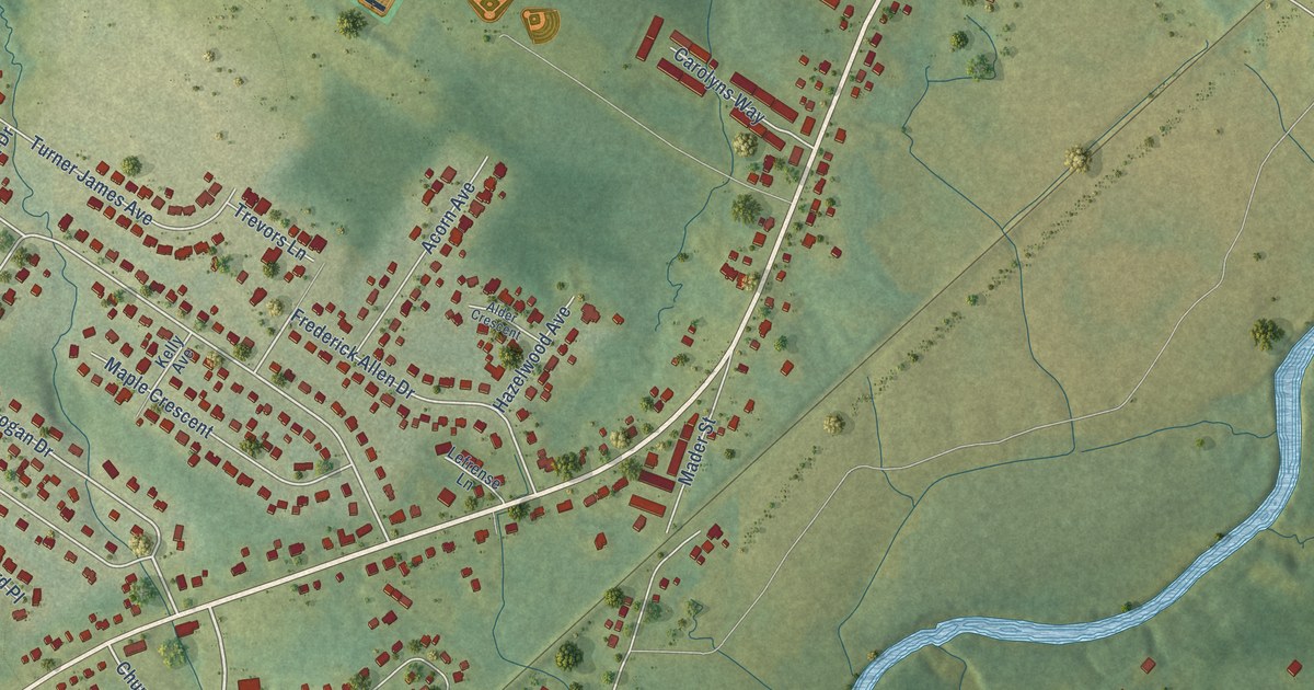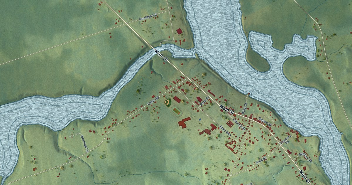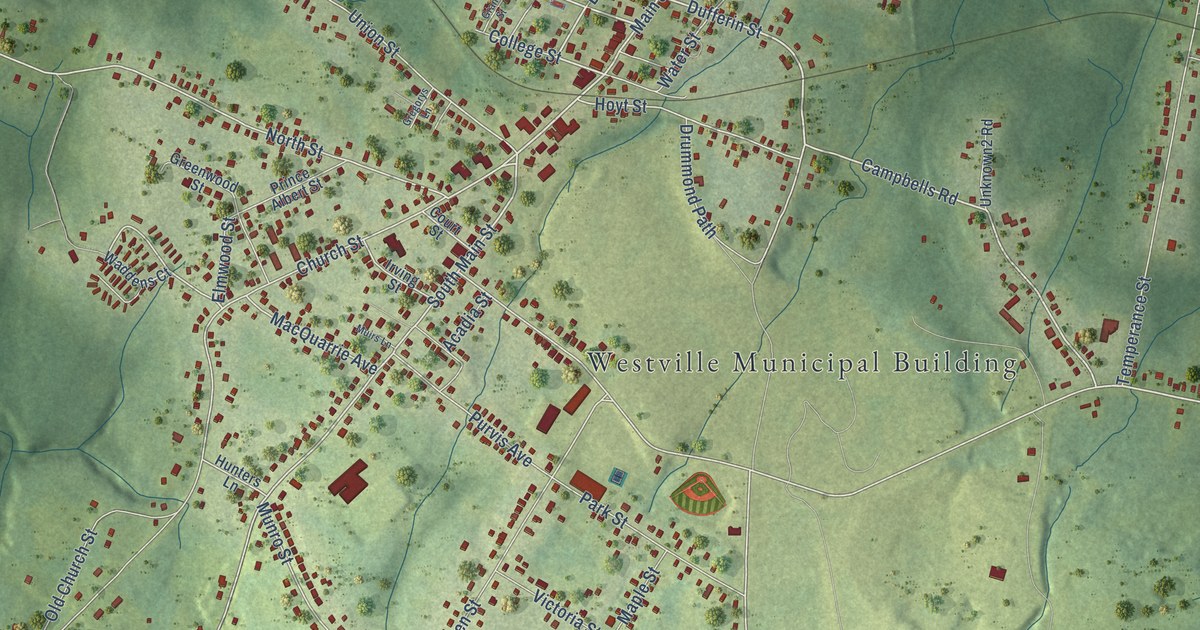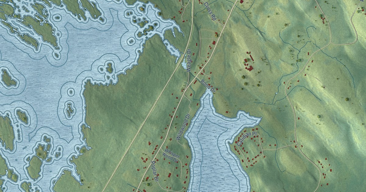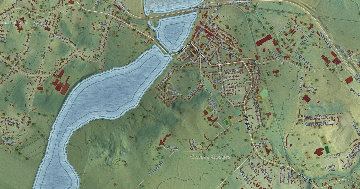
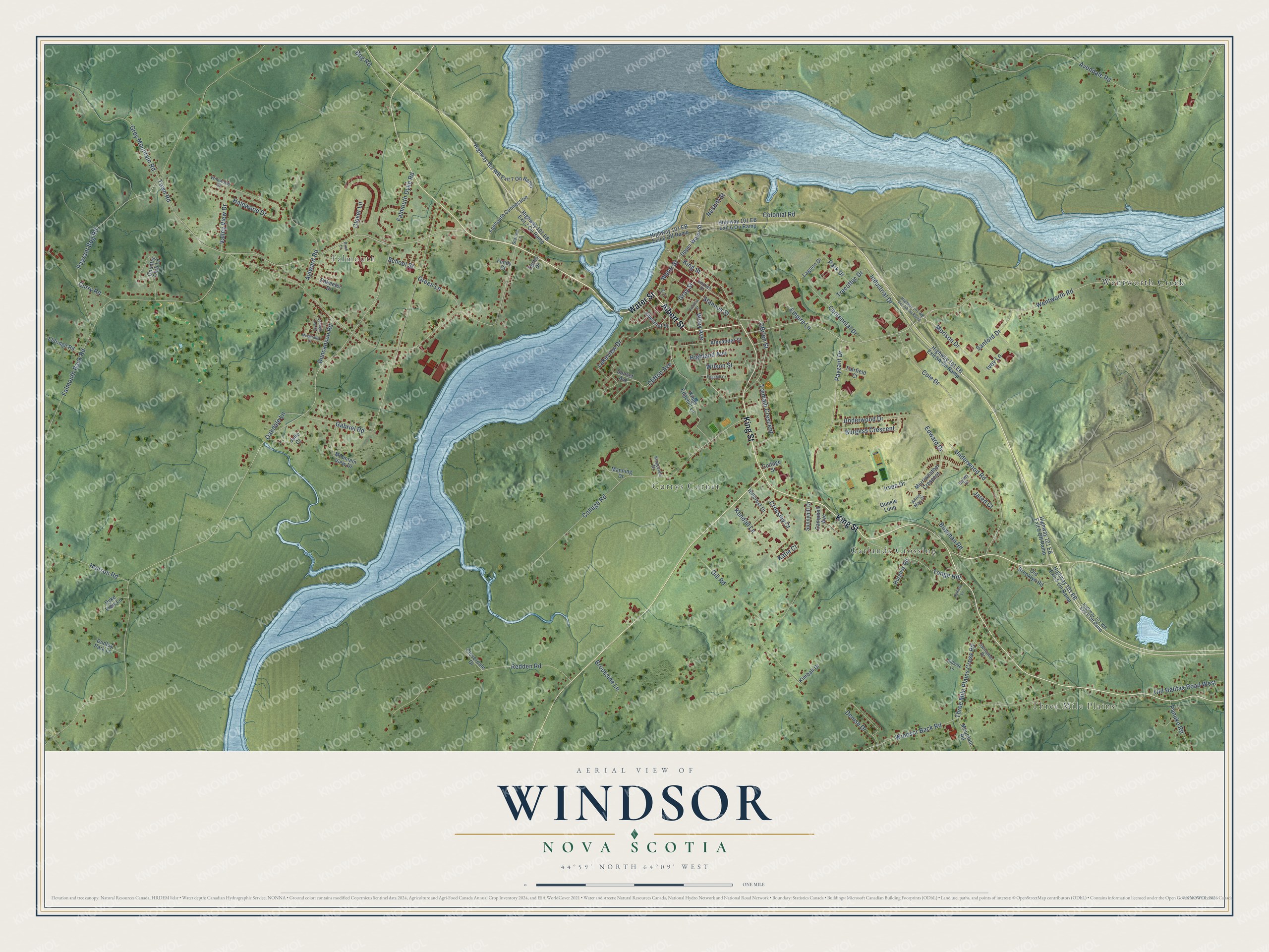
This beautifully detailed map of Windsor, Nova Scotia was created in 2026 using aerial imagery combined with modern topographical, census, street and landmark data. It’s a one-of-a-kind view of Windsor that combines accurate data with a vintage aesthetic. The map shows every building in its true location, many of the roads carry their names, and the shaded topographic relief shows the shape of the land.
Explore an aerial view of Windsor, Nova Scotia
On the map you’ll find Three Mile Plains, Garlands Crossing, Falmouth, Currys Corner, and Wentworth Creek, along with Albert Street, Water Street, King Street, Falmouth Back Road, Wentworth Road, Wiley Avenue, Falmouth Dyke Road, and more. If you look closely you can even find your house accurately drawn in its correct location. Zoom in on the preview to look for yours.
Take a closer look at the Windsor map
Names on this map
These names are printed on this map.
Places: Three Mile Plains, Garlands Crossing, Falmouth, Currys Corner and Wentworth Creek.
Streets and roads: Albert Street, Water Street, King Street, Falmouth Back Road, Wentworth Road, Wiley Avenue, Falmouth Dyke Road, Tonge Hill, Town Road, OBrien Street, Payzant Drive, Oakdale Lane.
More street names, A to Z
Alexander Street, Annie May Court, Avondale Road, Aylward Road, Bailey Drive, Birch Lane, Bog Road, Bowman Road, Brookside Lane, Burgess Crescent, Burgess Road, Campbell Avenue, Centennial Drive, Chestnut Street, Clifton Avenue, Cloverdale Drive, Clover Lane, Cole Drive, College Road, Colonial Road, Cottage Street, Country Club Lane, Crossley Court, Curry Road, Curtis Drive, Denise Drive, Dill Road, Dudley Park Lane, Duncanson Road, Dyke View Lane, Edgehill Court, Edward Drive, Eldridge Road, Empire Lane, Fairfield Court, Falmouth Connection, Fox Lane, Fundy Court, Gabriel Road, Gerrish Street, Goosie Loop, Gray Street, Green Lane, Grey Mountain Road, Halewood Drive, Hanson Road, Hatfield Lane, Highland Avenue, Highway 101 EB Exit 5 Off Ramp, Highway 101 EB Exit 5 On Ramp, Highway 101 EB Exit 6 Off Ramp, Highway 101 EB Exit 6 On Ramp, Highway 101 EB Exit 7 On Ramp, Highway 101 WB Exit 5 Off Ramp, Highway 101 WB Exit 7 On Ramp, Hillcrest Drive, Hillside Lane, Industrial Drive, Irven Drive, Ivey Lane, Jared Court, Jocelyn Lee Court, Julie Court, Katie Court, Kendall Lane, Kimball Drive, Kings Edgehill Lane, Kingsview Drive, Lagoon Drive, Lakeview Drive, Manning Drive, McDermid Drive, Merriweather Crescent, Morison Drive, Mountain Road, Mountain View Drive, Nesbitt Street, Old Brooklyn Road, Old Halifax Road West, Palmeter Drive, Panuke Road, Park Drive, Payzant Bog Road, Redden Road, Sanford Drive, School Street, Stannus Street, Station Lane, Sunnyhill Drive, Sunset Avenue, Swinamer Drive, Three Mile Plains Cross Road, Trecothic Drive, Tremain Crescent, Underwood Drive, Underwood Road, Upper Water Street, Valley View Drive, Victoria Street, Wilewood Drive, Wilson Street, Windsor Back Road.
See it on a wall
The Windsor map as an 18 x 24 inch print in a black frame.

This beautifully detailed map of Windsor makes an attractive addition to your office, library, or den, and it can even be used to teach children the geography and history of the area. It also makes a great gift for anyone who grew up in Windsor or moved away. When you’re done exploring, click here to get your copy of the Windsor map.