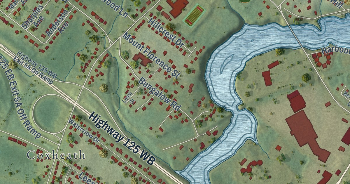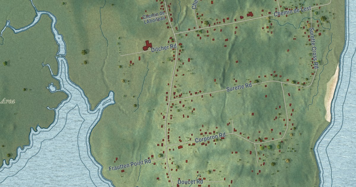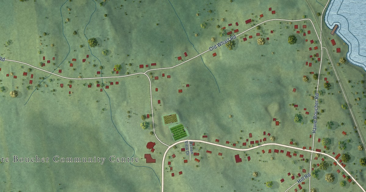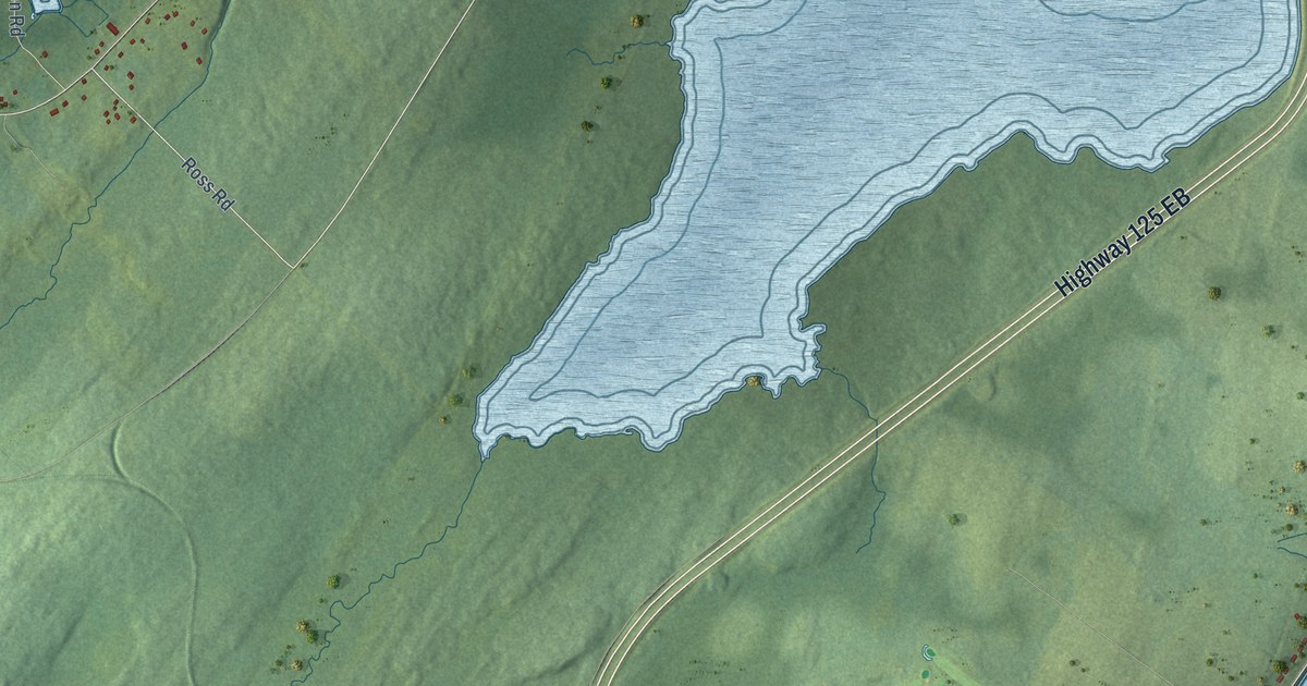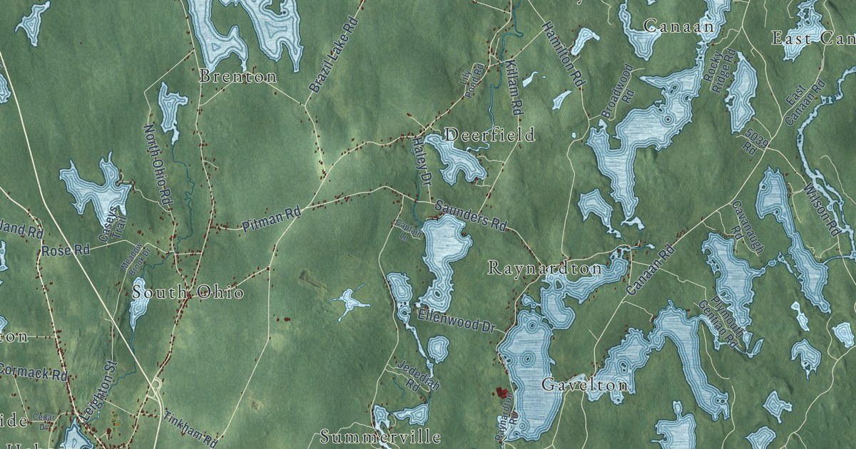
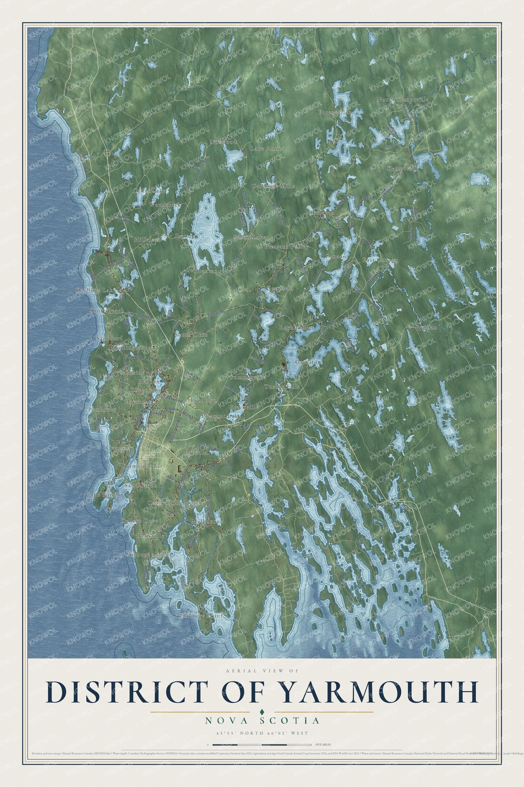
This beautifully detailed map of District of Yarmouth, Nova Scotia was created in 2026 using aerial imagery combined with modern topographical, census, street and landmark data. It’s a one-of-a-kind view of District of Yarmouth that combines accurate data with a vintage aesthetic. The map shows every building in its true location, many of the roads carry their names, and the shaded topographic relief shows the shape of the land.
Explore an aerial view of District of Yarmouth, Nova Scotia
On the map you’ll find Gavelton, North Kemptville, Pinkneys Point, Pembroke, Norwood, Quinan, Pleasant Lake, Melbourne, Short Beach, Brazil Lake, Kemptville, Cape Forchu, and more. If you look closely you can even find your house accurately drawn in its correct location. Zoom in on the preview to look for yours.
Take a closer look at the District of Yarmouth map
Names on this map
These names are printed on this map.
Places: Gavelton, North Kemptville, Pinkneys Point, Pembroke, Norwood, Quinan, Pleasant Lake, Melbourne, Short Beach, Brazil Lake, Kemptville, Cape Forchu, Carleton, Brenton, Cedar Lake, Arcadia, South Ohio, Lakeside, Chebogue Point, Forest Glen, East Canaan, Tusket Falls, Sand Beach, Deerfield, Brooklyn, Overton, Raynardton, Darlings Lake, Gardners Mills, Ireton, North Chegoggin, Sandford, Wellington, Pleasant Valley, Kelleys Cove, Central Chebogue, Summerville, Hillview, Canaan, Greenville, Yarmouth Bar, Rockville, Lake Annis, Woodstock, Dayton and Hebron.
Streets and roads: Canaan Road, Hardscratch Road, Mood Road, Greenville Road, Pitman Road, Saunders Road, Lake George Road, Wilson Road, Rose Road, Lake Annis Road, North Ohio Road, Brazil Lake Road.
More street names, A to Z
5039 Road, Bloomfield Road, Boutilier Branch Road, Broadwood Road, Brooklyn Road, Brushes Lane, Captain Lane, Carleton Lake Road, Caseys Trail, Cavanaugh Road, Cedar Drive, Chebogue Point Road, Chebogue Road, Chegoggin Point Road, Cooks Beach Road, County Line Road, Cranberry Lake Road, Dayton Road, Dominique Road, East Canaan Road, Edson Foote Road, Egypt Road, Ellenwood Drive, Ellis Road, Golden Forest Road, Haley Drive, Hamilton Road, Hanf Drive, Hilton Road, Jakes Lane South, Jedediah Road, John Cook Road, Kelly Road, Killam Road, Lake Darling Road, Lakeside Drive, Lakeside Road, Leighton Street, Lewis Road, Lily Pond Road, MacCormack Road, Main Shore Road, Meadow Brook Drive, Melbourne Road, Miller Lane, Mill Lake Road, Mill Road, Mink Lake Drive, New Road, North Kemptville Road, Old Ellie Lane, Overton Road, Park Drive, Pembroke Road, Perry Road, Peth Road, Plymouth Gentian Road, Porter Road, Prospect Street, Quaco Road, Raynardton Road, Richmond Road, Roberts Road, Rocky Ridge Road, Ross Durkee Road, Salmonwood Road, Sandy Cove Road, Sluice Drive, Small Gains Road, Storey Hill Road, Strickland Road, Tedford Lake Road, Three Island Lake Road, Tinkham Road, Trefry Lake Road, Twin Lakes Road, William Allen Road, Woodstock Road, Wyman Road.
See it on a wall
The District of Yarmouth map as an 18 x 24 inch print in a black frame.

This beautifully detailed map of District of Yarmouth makes an attractive addition to your office, library, or den, and it can even be used to teach children the geography and history of the area. It also makes a great gift for someone who left District of Yarmouth and still calls it home. When you’re done exploring, click here to get your copy of the District of Yarmouth map.