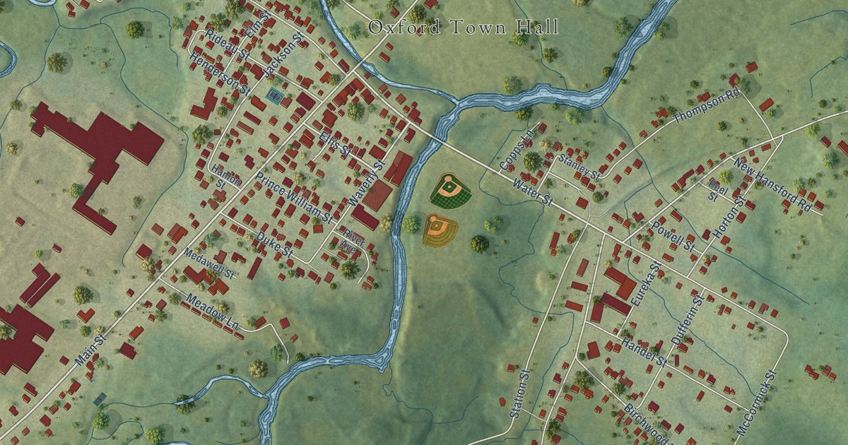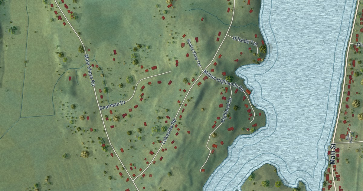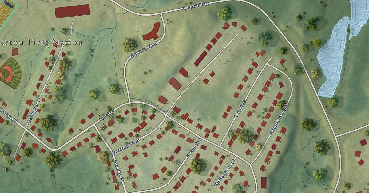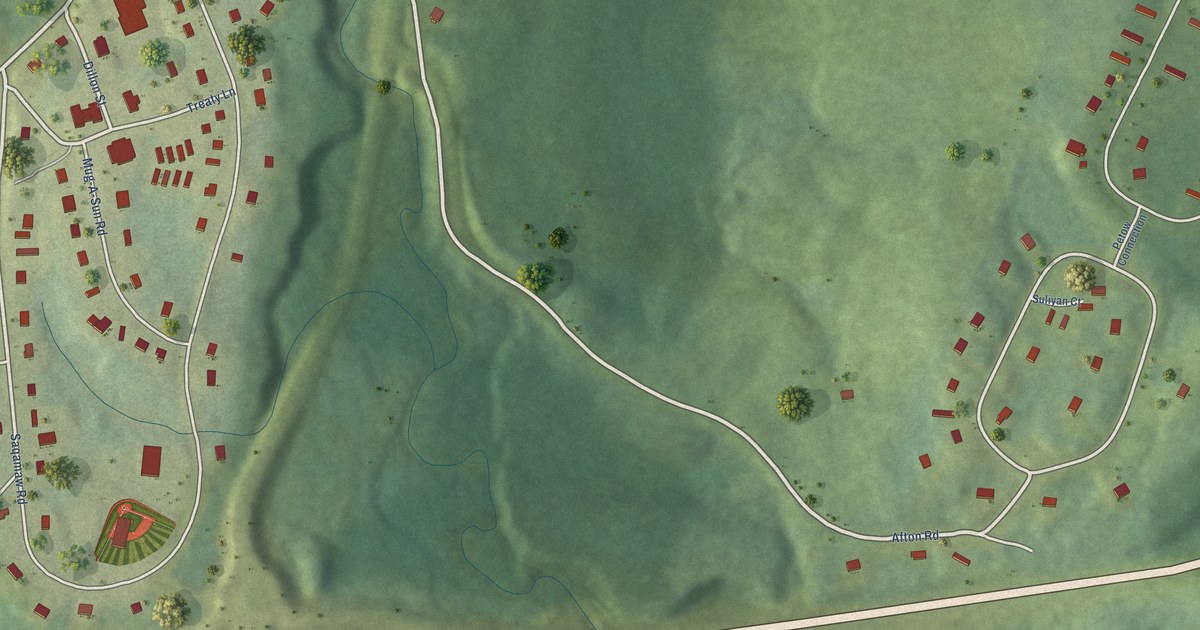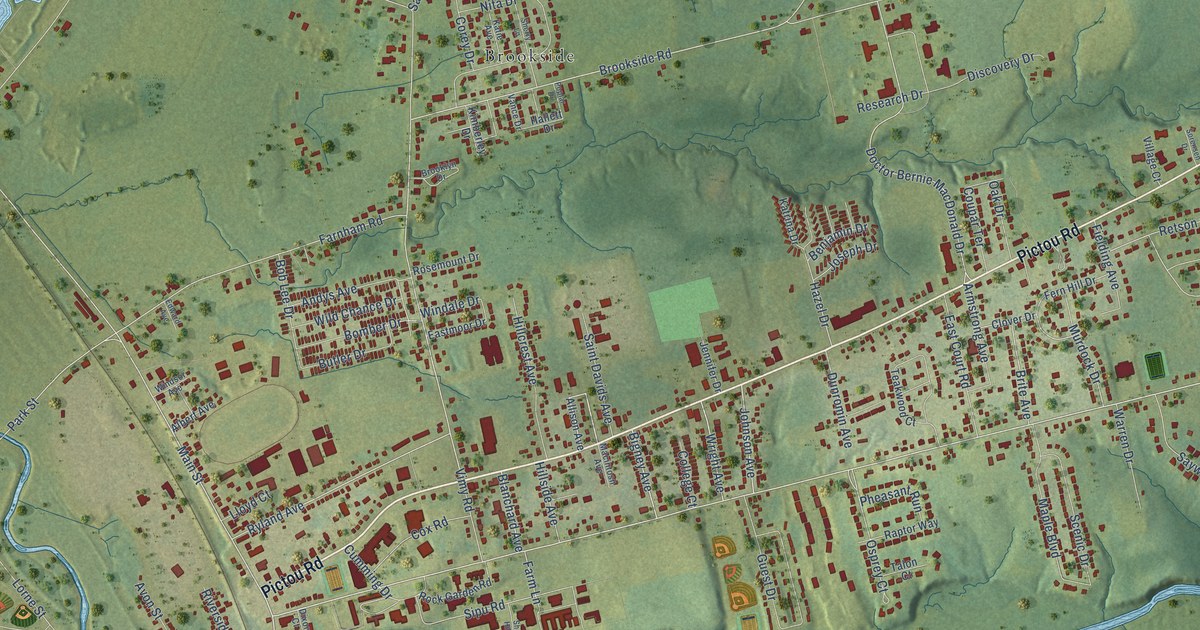
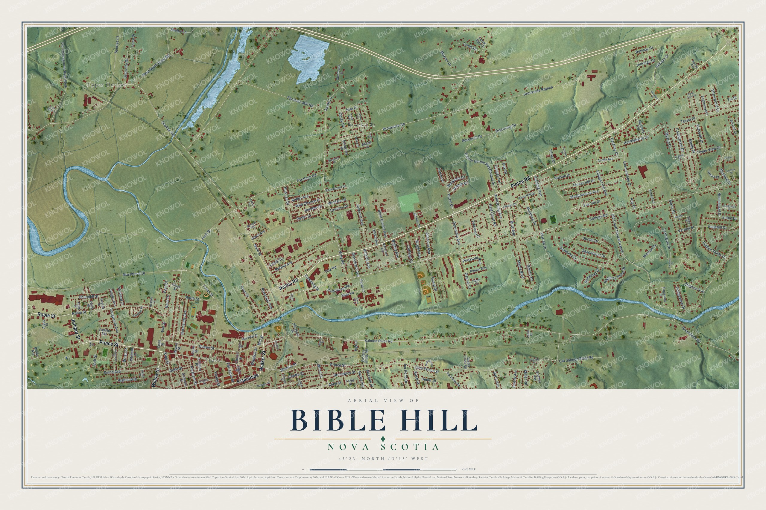
This beautifully detailed map of Bible Hill, Nova Scotia was created in 2026 using aerial imagery combined with modern topographical, census, street and landmark data. It’s a one-of-a-kind view of Bible Hill that combines accurate data with a vintage aesthetic. The map shows every building in its true location, many of the roads carry their names, and the shaded topographic relief shows the shape of the land.
Explore an aerial view of Bible Hill, Nova Scotia
On the map you’ll find Upper Onslow, Brookside, Truro, and Esplanade, along with Pictou Road, Walker Street, Prince Street, Willow Street, Juniper Street, Robie Street, Main Street, College Road, and more. If you look closely you can even find your house accurately drawn in its correct location. Zoom in on the preview to look for yours.
Take a closer look at the Bible Hill map
Names on this map
These names are printed on this map.
Places: Upper Onslow, Brookside and Truro.
Streets and roads: Pictou Road, Walker Street, Prince Street, Willow Street, Esplanade, Juniper Street, Robie Street, Main Street, College Road, Queen Street, Mill Street, Bigney Avenue.
More street names, A to Z
Albert Avenue, Alice Street, Allison Avenue, Andys Avenue, Argus Drive, Arlington Place, Armstrong Avenue, Ashford Court, Austin Avenue, Avon Street, Barry Avenue, Bartlett Avenue, Bayview Street, Benjamin Drive, Beverly Avenue, Birch Street, Blanchard Avenue, Bob Lee Drive, Bomber Drive, Brenton Avenue, Bridgeview Drive, Brite Avenue, Broad Street, Brodie Avenue, Brooklyn Drive, Brookside Branch, Brookside Road, Brunswick Street, Burris Drive, Butler Drive, Cambridge Drive, Carleton Court, Cedar Drive, Centre Street, Churchill Street, Church Street, Clover Drive, Clyke Street, Coldstream Drive, College Court, Corey Drive, Cornerstone Drive, Cottage Street, Coupar Terrace, Court Street, Cox Road, Crab Apple Lane, Crescent Drive, Cross Street, Cumming Drive, Delaney Drive, Discovery Drive, Dixon Court, Doctor Bernie MacDonald Drive, Dominion Street, Dorset Drive, Duke Street, Dunromin Avenue, Eagleview Drive, East Court Road, Eastend Cross Road, Eastmoor Drive, East Prince Street, Eaton Drive, Edgehill Drive, Edward Avenue, Elizabeth Street, Elm Street, Englewood Court, Farm Lane, Farnham Mill Road, Farnham Road, Fern Hill Drive, Fielding Avenue, Ford Street, Forest Drive, Forest Hill Drive, Forest Park Drive, Forrester Street, Fox Hill Drive, Gasper Cross Road, George Street, Giles Street, Glenforest Drive, Golf Street, Granville Drive, Greenfield Road, Guest Drive, Hallett Drive, Hampstead Court, Harmony Road, Hayward Court, Hazel Drive, Hidden Valley Drive, Highland Drive, High Street, Hillcrest Avenue, Hillridge Drive, Hillside Avenue, Hillvale Drive, Hingley Avenue, Homestead Drive, Huckleberry Lane, Ice Pond Drive, Inglis Place, Jennifer Drive, Johnson Avenue, Joseph Drive, Katie Avenue, Katrina Drive, Kay Court, Kelvin Court, Kimberley Drive, King Street, Krystal Drive, Lexington Drive, Lloyd Court, Logan Street, Longworth Avenue, Lorne Street, Louise Street, Lupin Drive, Lyman Street, Lynds Drive, Macintosh Avenue, Maple Boulevard, Marshland Drive, Martha Avenue, Matheson Drive, Maxner Drive, Mccabe Street, Mccallum Drive, McLean Street, Mclellan Street, Meadowland Avenue, Miller Road, Moore Street, Mulberry Terrace, Munroe Street, Murdock Drive, Mystic Drive, Nita Drive, Normandy Avenue, North Street, Nova Drive, Oak Drive, Old Court House Branch, Old Salmon River Road, Old Tatamagouche Road South, Onslow Road, Osprey Court, Oxford Court, Parkside Drive, Park Street, Pattillo Avenue, Patton Lane, Pheasant Run, Philip Street, Pleasant Street, Poplar Drive, Railway Street, Raptor Way, Regency Point Drive, Research Drive, Retson Drive, Revere Street, Rexdale Drive, Riverside Avenue, Rock Garden Road, Rosemount Drive, Roxford Court, Runway Court, Ryland Avenue, Saint Davids Avenue, Salmon River Road, Sandy Place, Saxby Lane, Saxonhurst Drive, Saywood Drive, Scenic Drive, Second Court, Sheep Hill Lane, Shelby Lane, Sherry Lane, Sillery Drive, Silverwood Drive, Sipu Road, Smith Avenue, Somerset Drive, Sorensen Drive, Stephen Avenue, Sunrise Court, Sunset Lane, Talon Court, Teakwood Court, Teviot Place, Tie Street, Tower View Drive, Vance Drive, Vernon Street, Victoria Street, Village Court, Village Line Avenue, Vimy Road, Waddell Street, Warren Drive, West North River Road, Weston Drive, Wexford Drive, Whitman Court, Wild Chance Drive, Windale Drive, Windsor Avenue, Wood Grove Drive, Wood Street, Wright Avenue, Yorke Street, Young Street.
See it on a wall
The Bible Hill map as an 18 x 24 inch print in a black frame.

This beautifully detailed map of Bible Hill makes an attractive addition to your office, library, or den, and it can even be used to teach children the geography and history of the area. It also makes a great gift for anyone who grew up in Bible Hill or moved away. When you’re done exploring, click here to get your copy of the Bible Hill map.