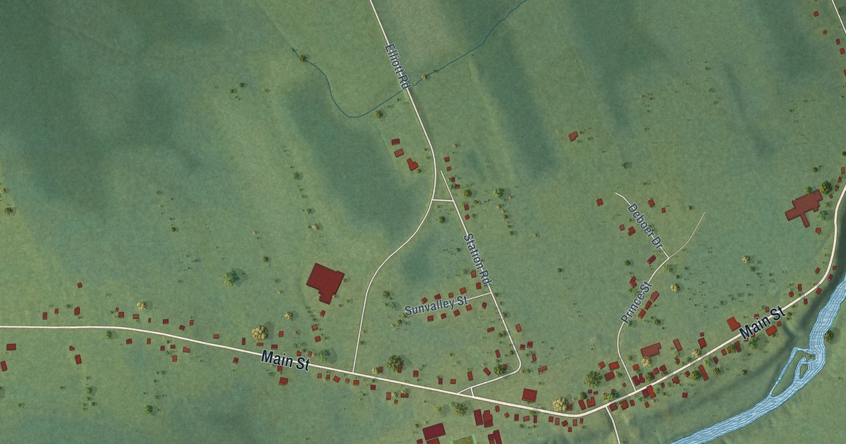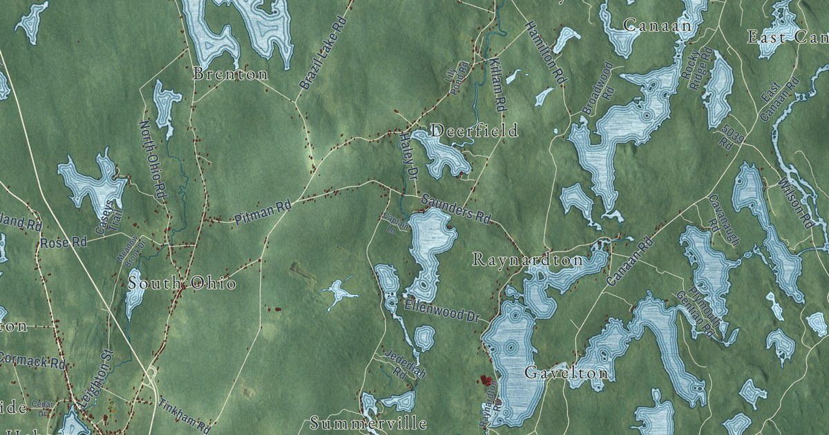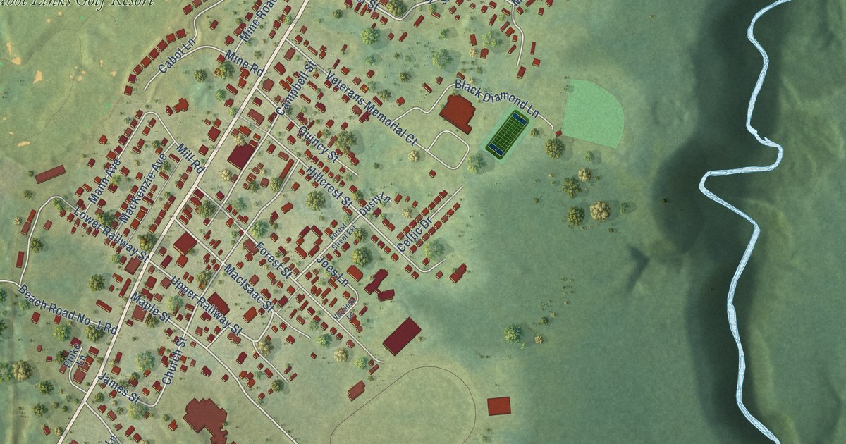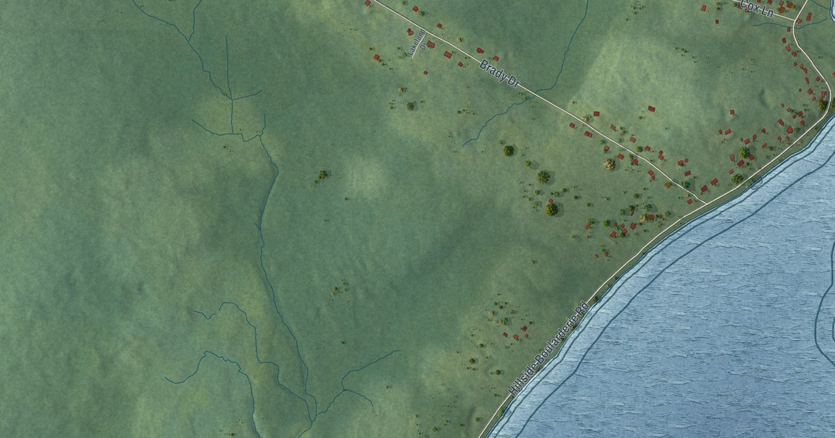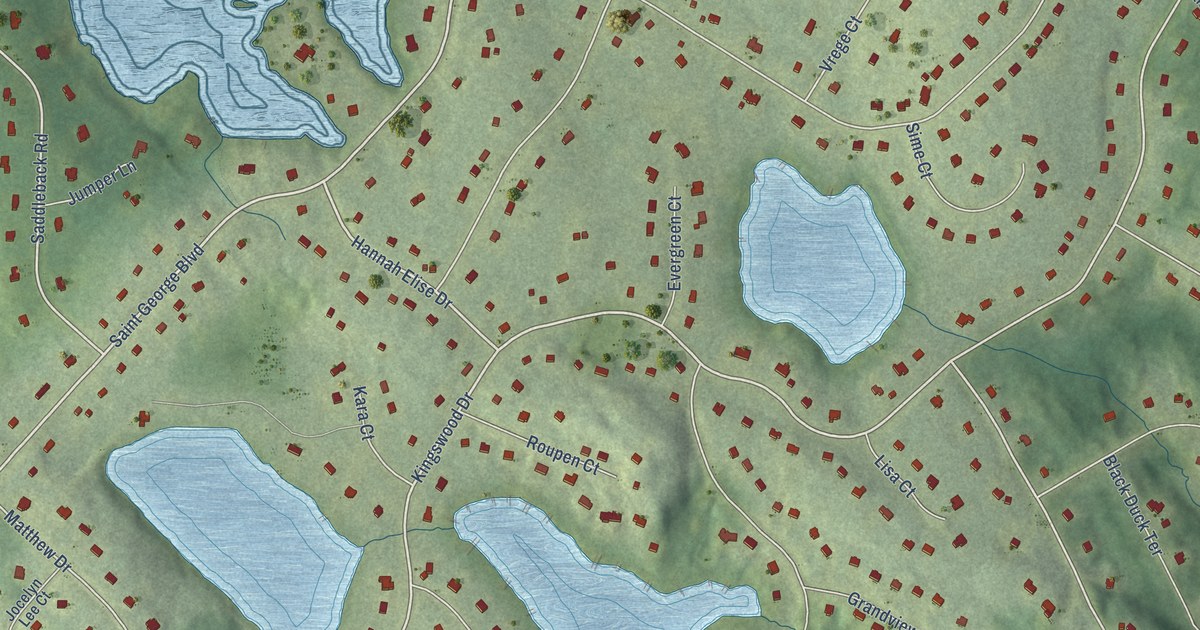
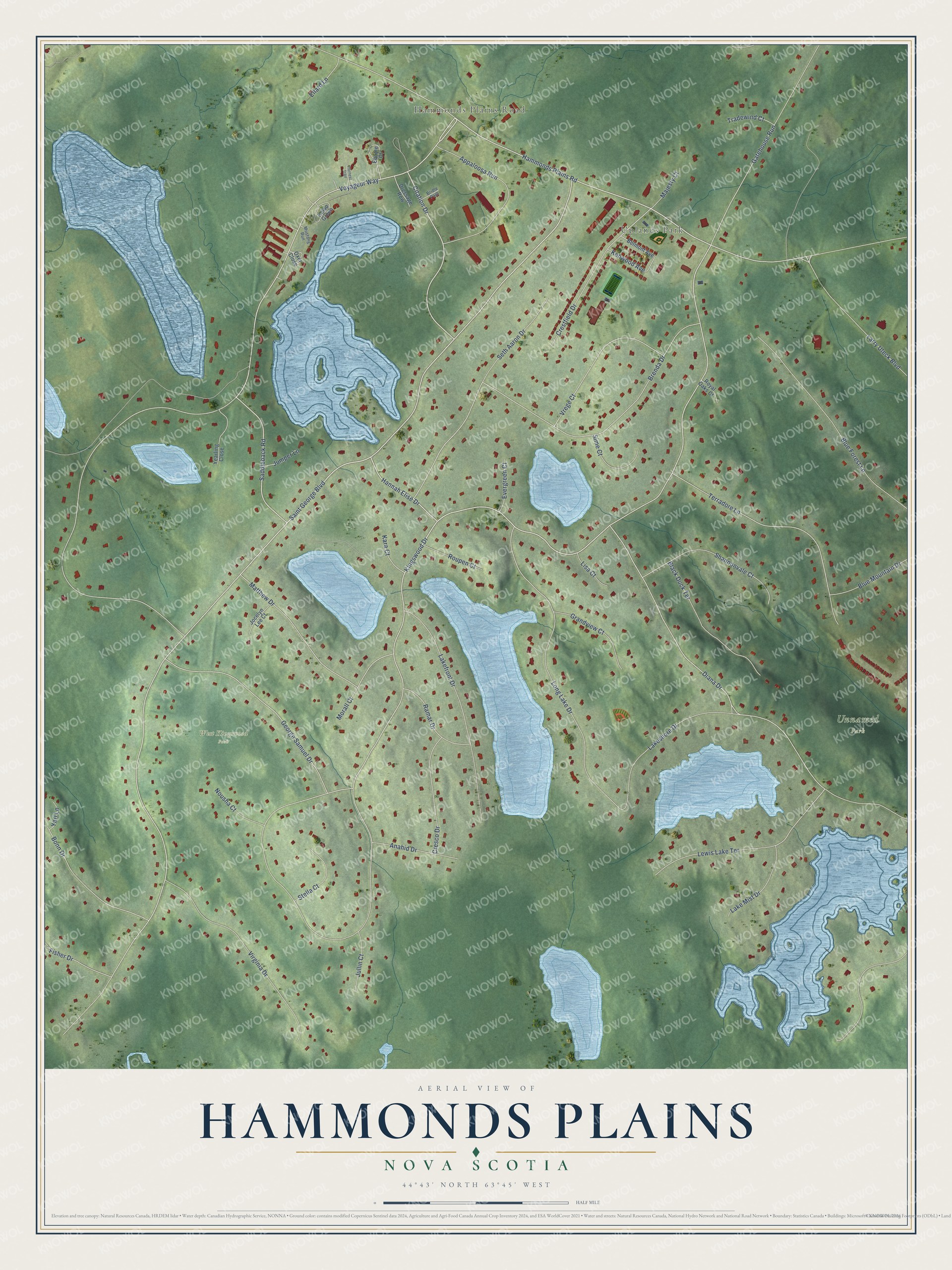
This beautifully detailed map of Hammonds Plains, Nova Scotia was created in 2026 using aerial imagery combined with modern topographical, census, street and landmark data. It’s a one-of-a-kind view of Hammonds Plains that combines accurate data with a vintage aesthetic. The map shows every building in its true location, many of the roads carry their names, and the shaded topographic relief shows the shape of the land.
Explore an aerial view of Hammonds Plains, Nova Scotia
On the map you’ll find Uplands Park, Unnamed Park, and West Kingswood Park, along with Hammonds Plains Road, Saint George Boulevard, Hannah Elise Drive, Kingswood Drive, Voyageur Way, Citation Drive, Saddleback Road, Diana Drive, George Samuel Drive, and more. If you look closely you can even find your house accurately drawn in its correct location. Zoom in on the preview to look for yours.
Take a closer look at the Hammonds Plains map
Names on this map
These names are printed on this map.
Places: Hammonds Plains Road, Uplands Park, Unnamed Park and West Kingswood Park.
Streets and roads: Saint George Boulevard, Hannah Elise Drive, Kingswood Drive, Voyageur Way, Citation Drive, Saddleback Road, Diana Drive, George Samuel Drive, Lakeshore Drive, Crestfield Drive, Matthew Drive, Seth Aaron Drive.
More street names, A to Z
Anahid Drive, Appaloosa Run, Belmont Avenue, Black Duck Terrace, Blue Forest Lane, Blue Mountain Drive, Bonn Drive, Brenda Drive, Bridle Path, Cresco Drive, Dressage Row, Ellard Lane, Equine Court, Evergreen Court, Fisher Drive, Gatehouse Run, Grandview Court, Harness Trail, Jocelyn Lee Court, Jullin Court, Jumper Lane, Kara Court, Kelso Green, Kenwood Avenue, Lakefront Drive, Lake Mist Drive, Larry Uteck Boulevard, Lewis Lake Terrace, Lisa Court, Long Lake Drive, Majesty Court, Morall Court, Mustang Run, Nousha Court, Oxer Close, Ramar Drive, Roupen Court, Royal Oaks Court, Shannonvale Court, Sime Court, Stella Court, Terradore Lane, Tradewind Court, Virginia Drive, Vrege Court, Yari Lane, Yearling Close.
See it on a wall
The Hammonds Plains map as an 18 x 24 inch print in a black frame.

This beautifully detailed map of Hammonds Plains makes an attractive addition to your office, library, or den, and it can even be used to teach children the geography and history of the area. It also makes a great gift for someone who left Hammonds Plains and still calls it home. When you’re done exploring, click here to get your copy of the Hammonds Plains map.