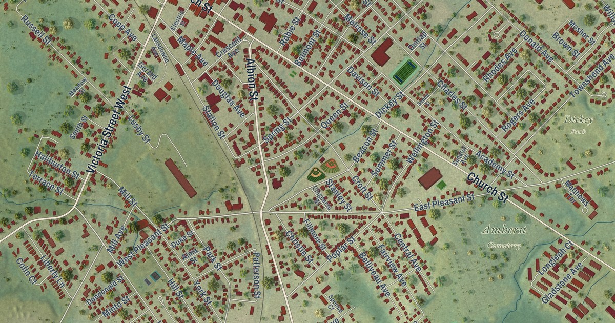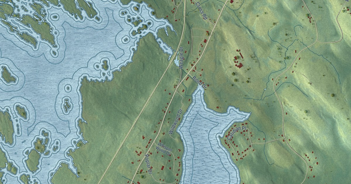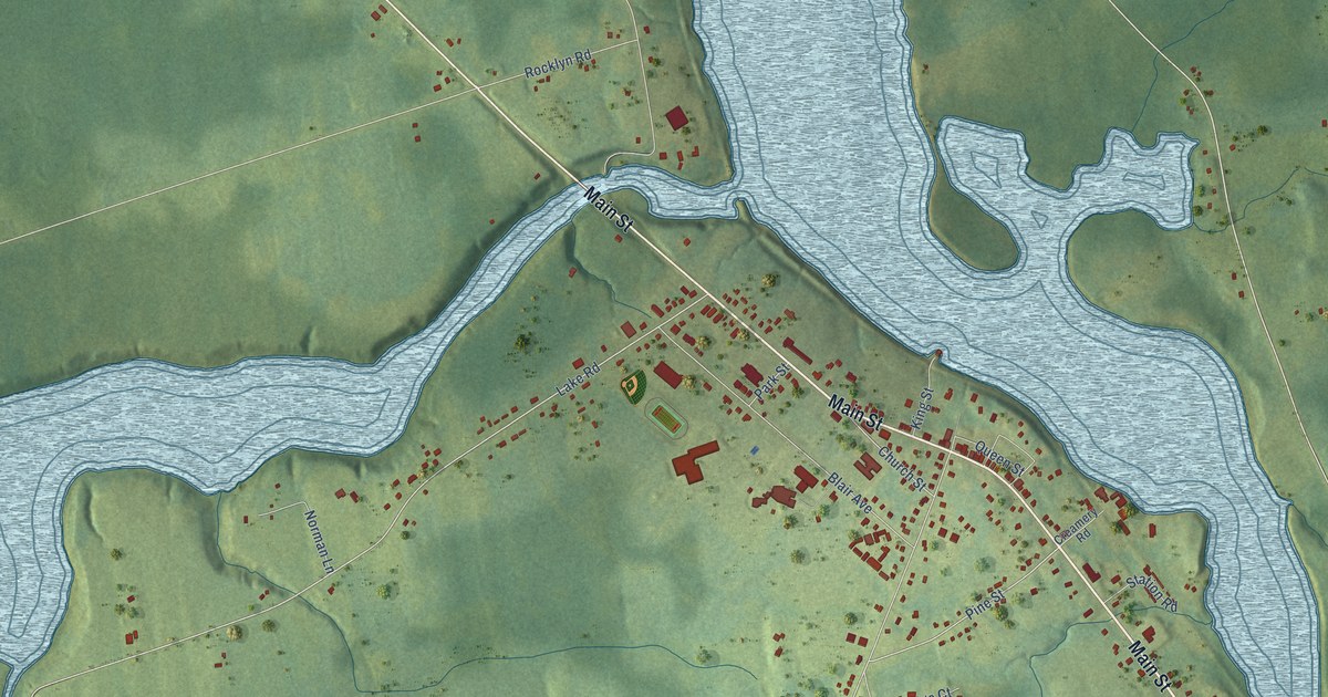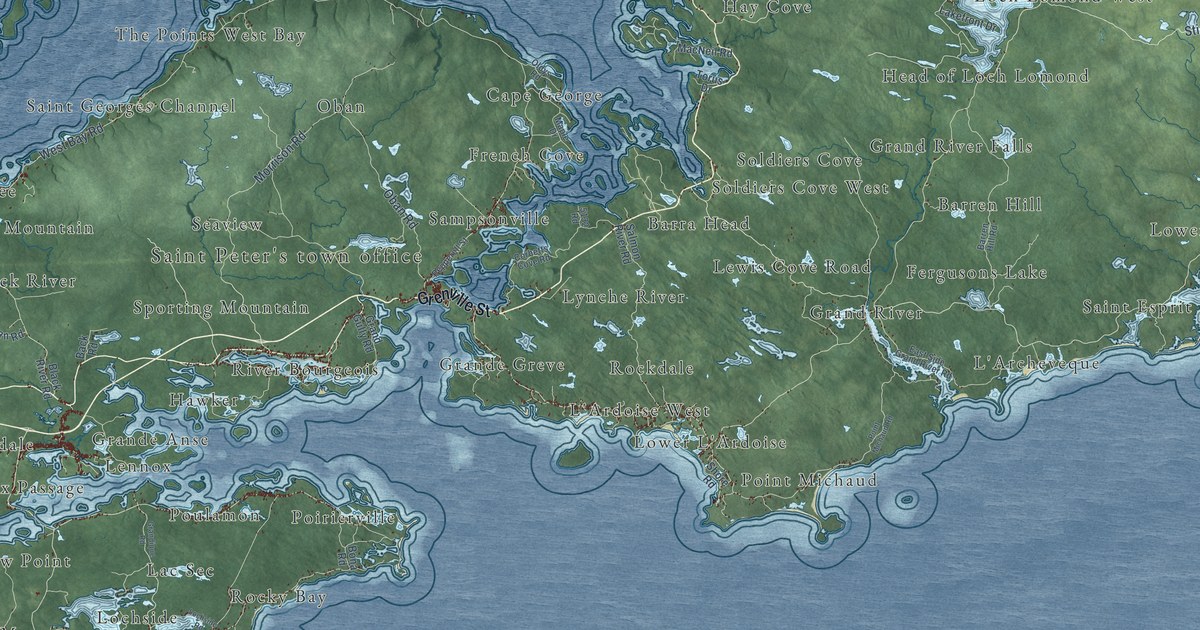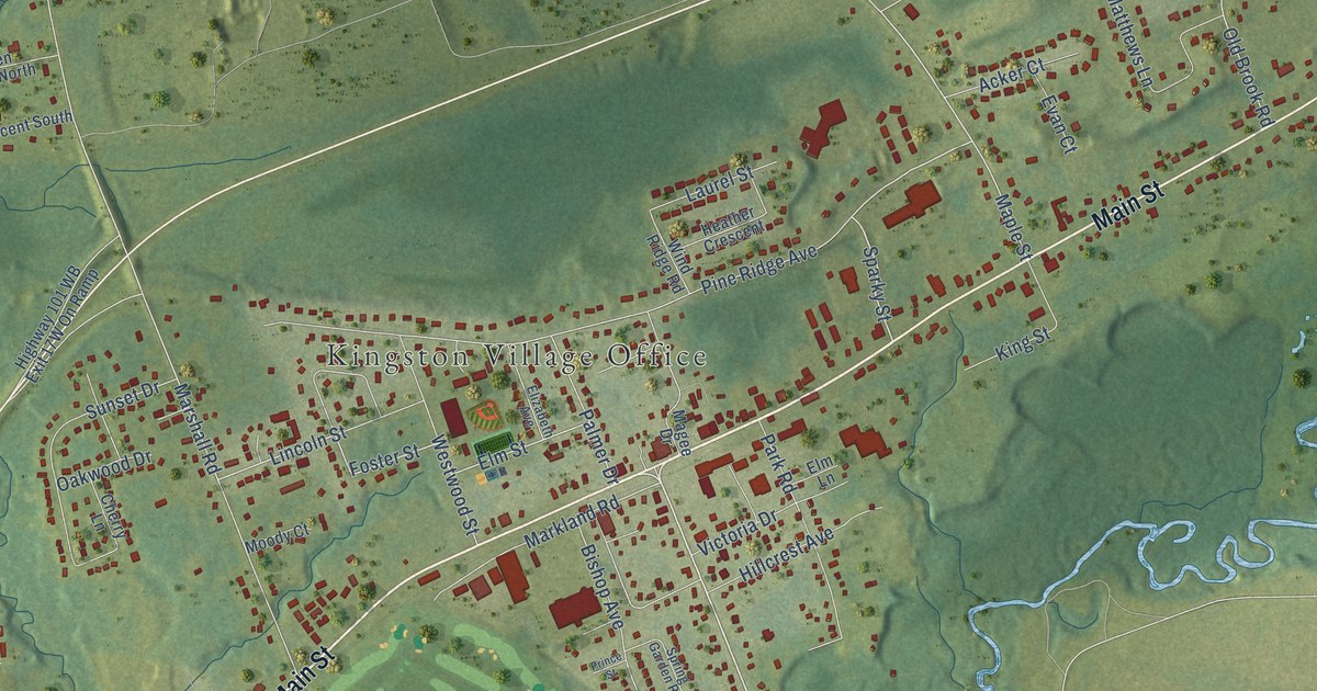
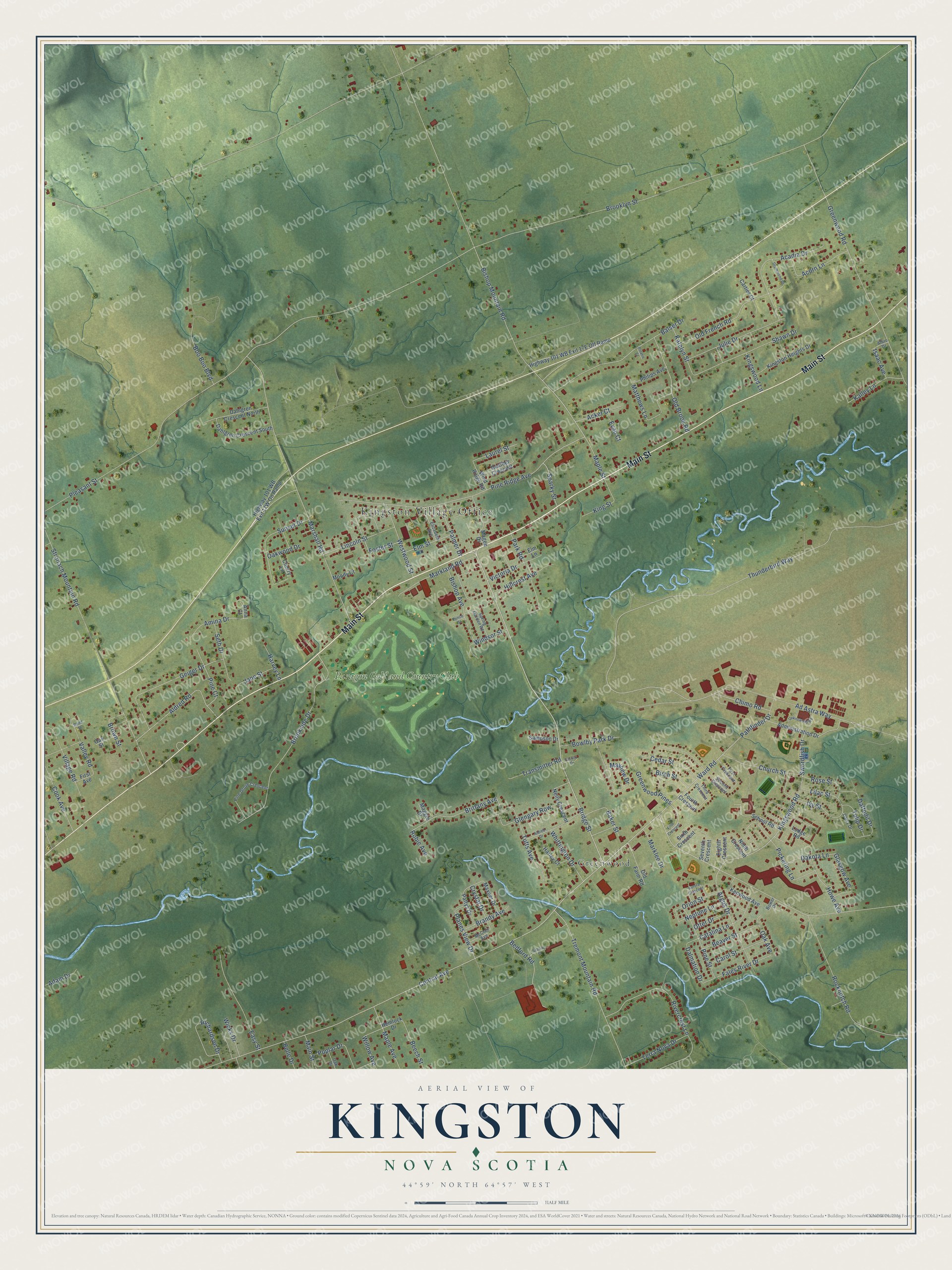
This beautifully detailed map of Kingston, Nova Scotia was created in 2026 using aerial imagery combined with modern topographical, census, street and landmark data. It’s a one-of-a-kind view of Kingston that combines accurate data with a vintage aesthetic. The map shows every building in its true location, many of the roads carry their names, and the shaded topographic relief shows the shape of the land.
Explore an aerial view of Kingston, Nova Scotia
On the map you’ll find Kingston Village Office, Greenwood, and Paragon Golf and Country Club, along with Main Street, Bridge Street, Central Avenue, Ward Road, Sparky Street, Pine Ridge Avenue, Maple Street, Palmer Drive, Marshall Road, and more. If you look closely you can even find your house accurately drawn in its correct location. Zoom in on the preview to look for yours.
Take a closer look at the Kingston map
Names on this map
These names are printed on this map.
Places: Kingston Village Office, Greenwood and Paragon Golf and Country Club.
Streets and roads: Main Street, Bridge Street, Central Avenue, Ward Road, Sparky Street, Pine Ridge Avenue, Maple Street, Palmer Drive, Marshall Road, Westwood Street, Elm Street, Foster Street.
More street names, A to Z
Acadia Drive, Acker Court, Acorn Lane, Adam Drive, Ad Astra Way, Administration Drive, Albro Drive, Aldred Drive, Aldred Road, Amina Drive, Anna Court, Argus Drive, Aurora Crescent, Baker Street, Balser Drive, Beaver Street, Bedford Road, Beech Street, Belle Drive, Birch Street, Bishop Avenue, Bishop Mountain Road, Boo Boo Boulevard, Bower Drive, Bowlby Park Drive, Brandy Avenue, Brittany Avenue, Brooklyn Street, Brookside Drive, Brown Street, Carol Street, Cartier Court, Catalina Lane, Cedar Street, Cherry Lane, Chimo Road, Church Street, Cook Avenue, Crystal Drive, Daffodil Drive, Dahlgren Crescent North, Dahlgren Crescent South, Daisy Drive, Dakota Lane, Dalmation Drive, Dodd Street, Drummond Drive, Easy Street, Eighth Crescent, Elizabeth Avenue, Elm Lane, Evan Court, Faculty Drive, Fales River Drive, Fifth Crescent, First Avenue, First Crescent, Fourth Crescent, Geiger Drive, Glasgow Avenue, Glengary Row, Greenwood Pines, Greenwood Road, Harley Court, Harvey Lane, Heather Crescent, Hemlock Drive, Hillcrest Avenue, Howe Avenue, Isaac Avenue, Ivy Street, Jane Street, Julie Drive, Kalley Lane, Katelyn Street, Kenwood Avenue, Kingston Heights Drive, King Street, Kingswood Lane, Kingswood Road, Laurel Street, Lilac Street, Lincoln Street, Lodge Road, Magee Drive, Maggie Drive, Maple Avenue, Markland Road, Marklee Drive, Matthews Lane, Maxner Drive, Mayhew Drive, McClair Avenue, Moody Court, Neily Crescent, Neptune Lane, Ninth Crescent, Oak Avenue, Oak Drive, Oak Street, Oakwood Drive, Old Brook Road, Old Farm Road, Old French Road, Orion Street, Otter Drive, Park Road, Pathfinder Drive, Pattys Drive, Philips Avenue, Pickering Lane, Pine Court, Pine Grove Crescent, Pine Street, Planes View Drive, Pleasant Street, Polaris Court, Poplar Drive, Prince Street, Richardson Drive, Rivercrest Lane, Robie Avenue, Rocknotch Road, Rose Street, Sampson Drive, School Road, School Street, Second Crescent, Seth Drive, Seventh Crescent, Shawn Drive, Sixth Crescent, Spring Garden Road, Stronach Mountain Road, Sunset Drive, Swordfish Drive, Terra Nova Drive, Third Crescent, Thunderbird Way, Transmitter Road, Tremont Mountain Road, Tufts Avenue, Tulip Drive, Unknown80 Road, Valley Road, Victoria Drive, Village Road, Whittington Drive, Wicks Drive, Willow Avenue, Wind Ridge Road, Windsor Street.
See it on a wall
The Kingston map as an 18 x 24 inch print in a black frame.

This beautifully detailed map of Kingston makes an attractive addition to your office, library, or den, and it can even be used to teach children the geography and history of the area. It also makes a great gift for anyone with Kingston roots. When you’re done exploring, click here to get your copy of the Kingston map.