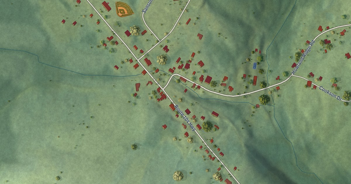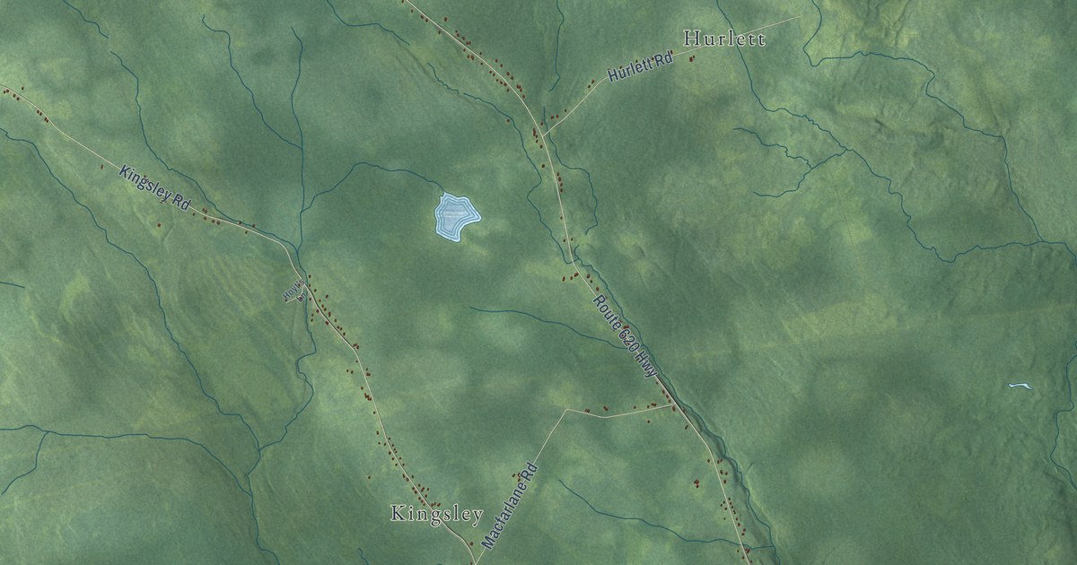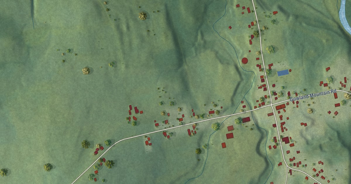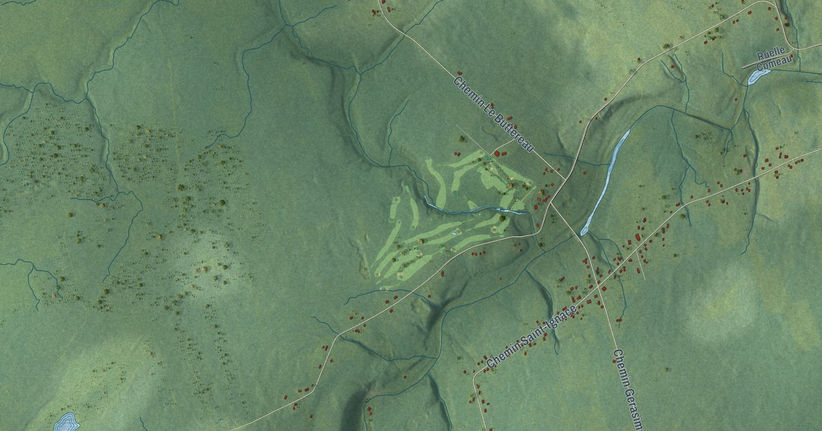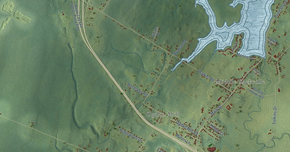
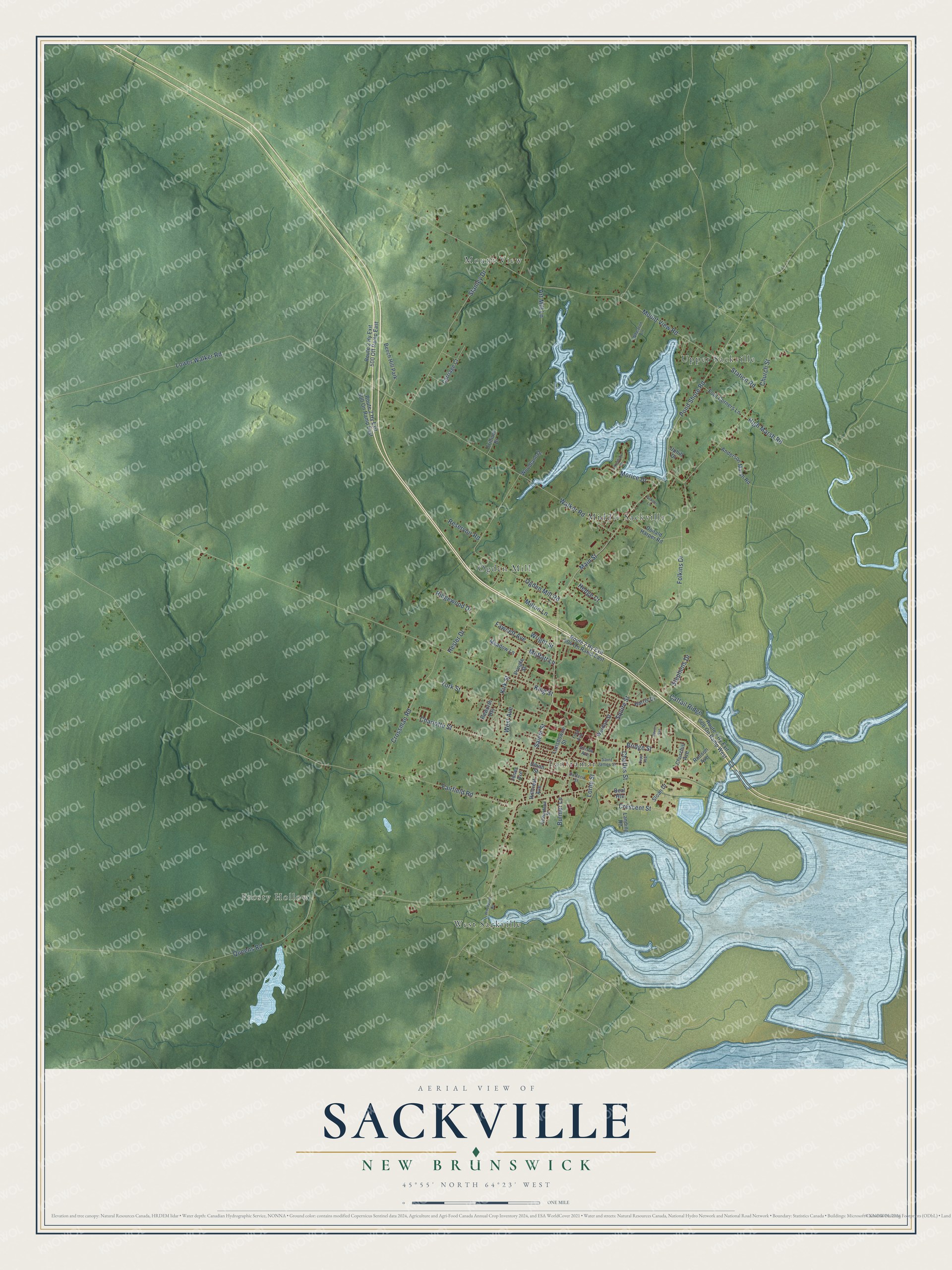
This beautifully detailed map of Sackville, New Brunswick was created in 2026 using aerial imagery combined with modern topographical, census, street and landmark data. It’s a one-of-a-kind view of Sackville that combines accurate data with a vintage aesthetic. The map shows every building in its true location, many of the roads carry their names, and the shaded topographic relief shows the shape of the land.
Explore an aerial view of Sackville, New Brunswick
On the map you’ll find Frosty Hollow, Upper Sackville, Ogden Mill, Tantramar, Mount View, Middle Sackville, and West Sackville, along with Main Street, Salem Street, Queens Road, Bridge Street, Pond Shore Road, and more. If you look closely you can even find your house accurately drawn in its correct location. Zoom in on the preview to look for yours.
Take a closer look at the Sackville map
Names on this map
These names are printed on this map.
Places: Frosty Hollow, Upper Sackville, Ogden Mill, Tantramar, Mount View, Middle Sackville, West Sackville and Beech Hill Park.
Streets and roads: Main Street, Salem Street, Queens Road, Bridge Street, Pond Shore Road, Moffatt Lane, Church Street, Cattail Ridge, King Street, Walker Road, Mount View Road, Folkins Drive.
More street names, A to Z
Allison Avenue, Anderson Marsh Road, Art Mill Lane, Beal Heights, Bulmer Lane, Carriage Court, Charles Street, Charlotte Street, Churchill Avenue, Copp Avenue, Crescent Street, Crossman Road, Devon Avenue, Donald Harper Road, Dufferin Street, Fairfield Road, Fawcett Avenue, Ford Avenue, Four Corners Lane, Harris Drive, Hedge Court, Hesler Drive, High Marsh Road, Hillcrest Avenue, Jones Avenue, Kirk Street, Lakeshore Drive, Landing Road, Lansdowne Street, Lorne Street, Lower Walker Road, Meadow Lane, Milton Lane, Morice Drive, Ogden Mill Road, Pringle Street, Raworth Heights, Reservoir Road, Richardson Street, Ridgewood Drive, Robson Avenue, Route 2 Hy Exit 500 Off Ramp East, Route 2 Hy Exit 500 On Ramp East, Route 2 Hy Exit 504 On Ramp East, Route 2 Hy Exit 506 On Ramp West, Saint James Street, School Lane, Sloan Drive, Squire Street, Stanley Drive, Station Road, Stephens Drive, Trillium Drive, Union Street, Uphill Drive, Weldon Street, West Avenue, Wheaton Lane, Woodlane Drive, Woodpoint Road, Wright Street, York Street.
See it on a wall
The Sackville map as an 18 x 24 inch print in a black frame.

This beautifully detailed map of Sackville makes an attractive addition to your office, library, or den, and it can even be used to teach children the geography and history of the area. It also makes a great gift for someone who left Sackville and still calls it home. When you’re done exploring, click here to get your copy of the Sackville map.