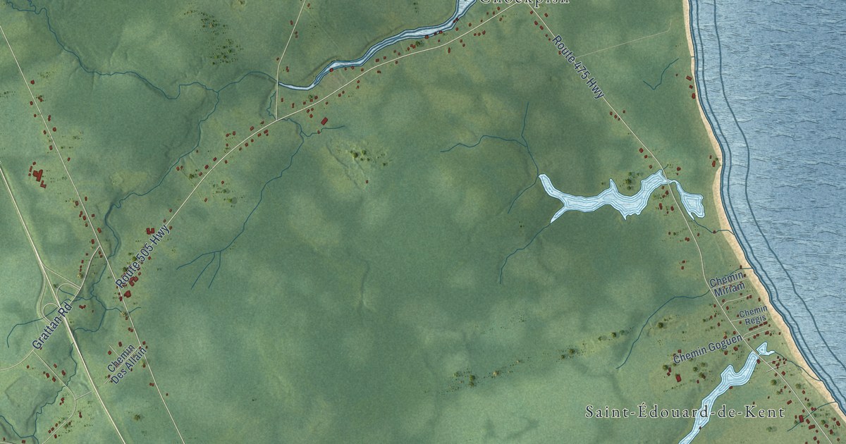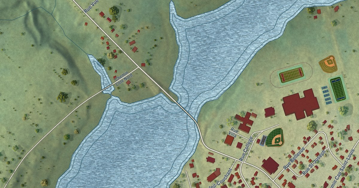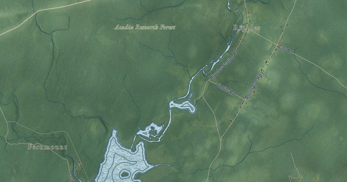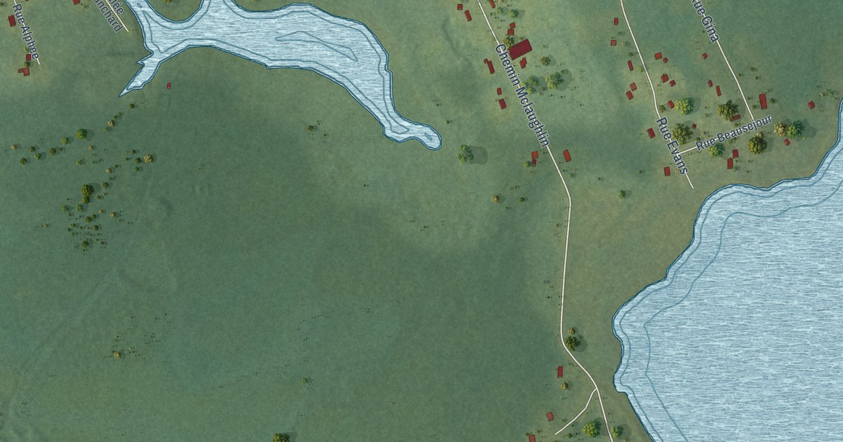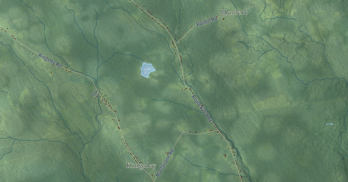
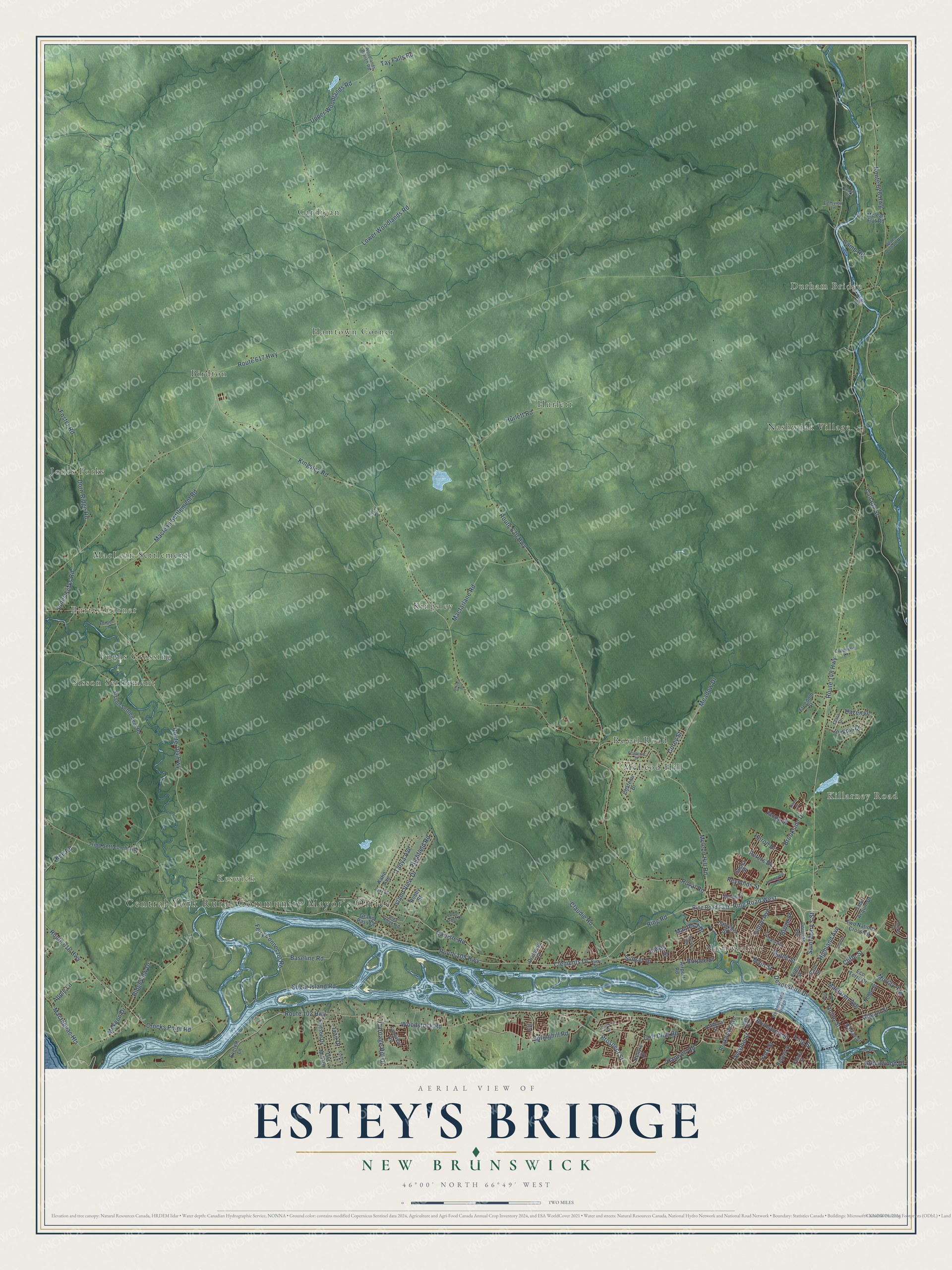
This beautifully detailed map of Estey's Bridge, New Brunswick was created in 2026 using aerial imagery combined with modern topographical, census, street and landmark data. It’s a one-of-a-kind view of Estey’s Bridge that combines accurate data with a vintage aesthetic. The map shows every building in its true location, many of the roads carry their names, and the shaded topographic relief shows the shape of the land.
Explore an aerial view of Estey's Bridge, New Brunswick
On the map you’ll find Central York Rural Community Mayor’s Office, Durham Bridge, Keswick, Burtts Corner, Cardigan, Birdton, Kingsley, Hurlett, Nashwaaksis, Jones Forks, and Nashwaak Village, along with Killarney Road, and more. If you look closely you can even find your house accurately drawn in its correct location. Zoom in on the preview to look for yours.
Take a closer look at the Estey's Bridge map
Names on this map
These names are printed on this map.
Places: Central York Rural Community Mayor's Office, Durham Bridge, Keswick, Burtts Corner, Killarney Road, Cardigan, Birdton, Kingsley, Hurlett, Nashwaaksis, Jones Forks, Nashwaak Village, Royal Road, Hamtown Corner, MacLean Settlement, Sisson Settlement, Pughs Crossing and McLeod Hill.
Streets and roads: Woodstock Road, Devonshire Drive, Main Street, Brunswick Street, Smythe Street, Clements Drive, Sunset Drive, Route 105 Highway, Saint Mary's Street, Route 148 Highway, Brookside Drive, Golf Club Road.
More street names, A to Z
Airport Road, Apple Lane, Bailey Avenue, Barker Street, Baseline Road, Bear Drive, Belle Drive, Broad Street, Burpee Street, Camp Road, Canada Street, Carlisle Road, Carriage Hill Drive, Cedar Ridge Drive, Chateau Drive, Church Street, Clara Drive, Clark Street, Claudie Road, Cliffe Street, Coburn Drive, Copperhill Lane, Corey Street, Country Lane, Crocket Street, Crocks Point Road, Diamond Street, Dorn Ridge Road, Douglas Avenue, Eco Terra Drive, Everett Lane, Fairview Drive, Fallsview Lane, Fearn Lane, Ferry Connector Road, Forbes Lane, Foster Road, Freedom Street, Friel Street, Friesen Drive, Frontenac Drive, Fulton Avenue, Gabe Acquin Drive, Gibson Street, Grand Pass Court, Greenwood Drive, Hanwell Road, Hawkins Street, Hazen Drive, Heron Drive, Highfield Road, Highland Avenue, Hoyt's Lane, Hurlett Road, Island View Drive, Jacob Street, James Street, Jenkins Drive, Jewett Street, Jones Forks Road, Katie Avenue, Kee Road, Kelly's Drive, Kingsley Road, King Street, Lily Street, Longwood Drive, Lower Woodlands Road, Macfarlane Road, Maclaren Avenue, Maclean Settlement Road, Mactaquac Heights, Manresa Drive, Maple Street, Mckay Drive, Mckeen Drive, Mcknight Street, Mclean Flat Road, Mcleod Hill Road, Meadow Drive, Murray Avenue, Nason Street, Noble Street, Odell Avenue, Old Mill Road, Omega Drive, Parkhurst Drive, Paul Street, Peters Drive, Phail Road, Prospect Street, Regent Street, Reynolds Street, Ridgeview Drive, Ring Road, Ring Road East, Ring Road West, Riva Ridge Road, Robby Street, Rookwood Avenue, Route 102 Highway, Route 104 Highway, Route 616 Highway, Route 617 Highway, Route 620 Highway, Route 628 Highway, Ruby Street, Sisson Settlement Road, Springhill Road, Sugar Island Road, Summerhill Row, Tanya Avenue, Tay Falls Road, Trail Drive, Tripp Settlement Road, Two Nations Crossing, Union Street, Upper Durham Road, Upper Woodlands Road, Westmorland Bridge, Woodlands Branch Road, York Street.
See it on a wall
The Estey's Bridge map as an 18 x 24 inch print in a black frame.

This beautifully detailed map of Estey’s Bridge makes an attractive addition to your office, library, or den, and it can even be used to teach children the geography and history of the area. It also makes a great gift for anyone who grew up in Estey’s Bridge or moved away. When you’re done exploring, click here to get your copy of the Estey’s Bridge map.