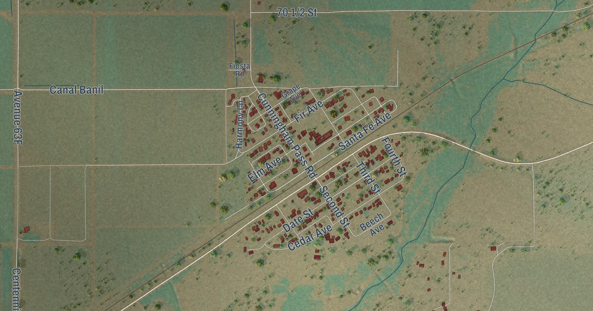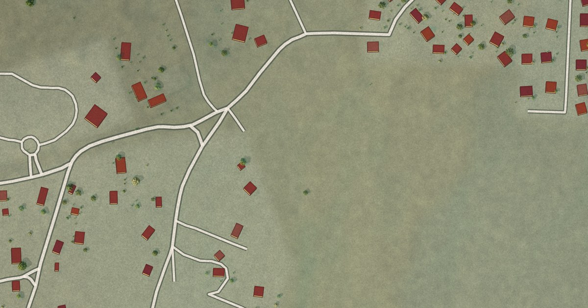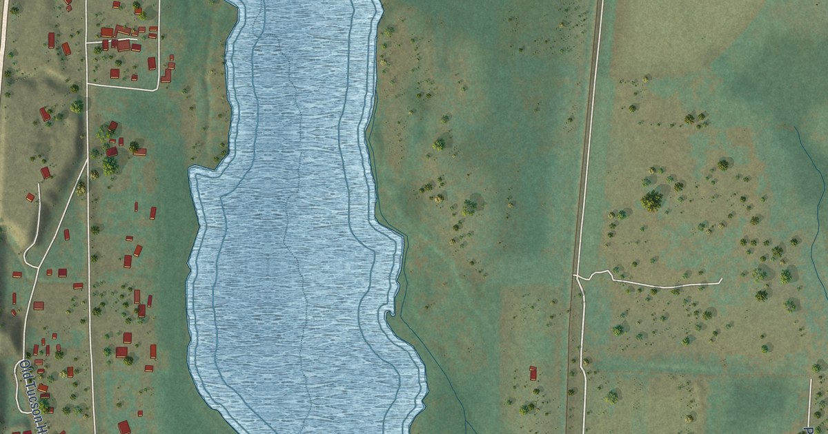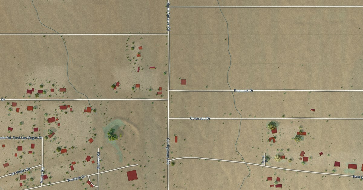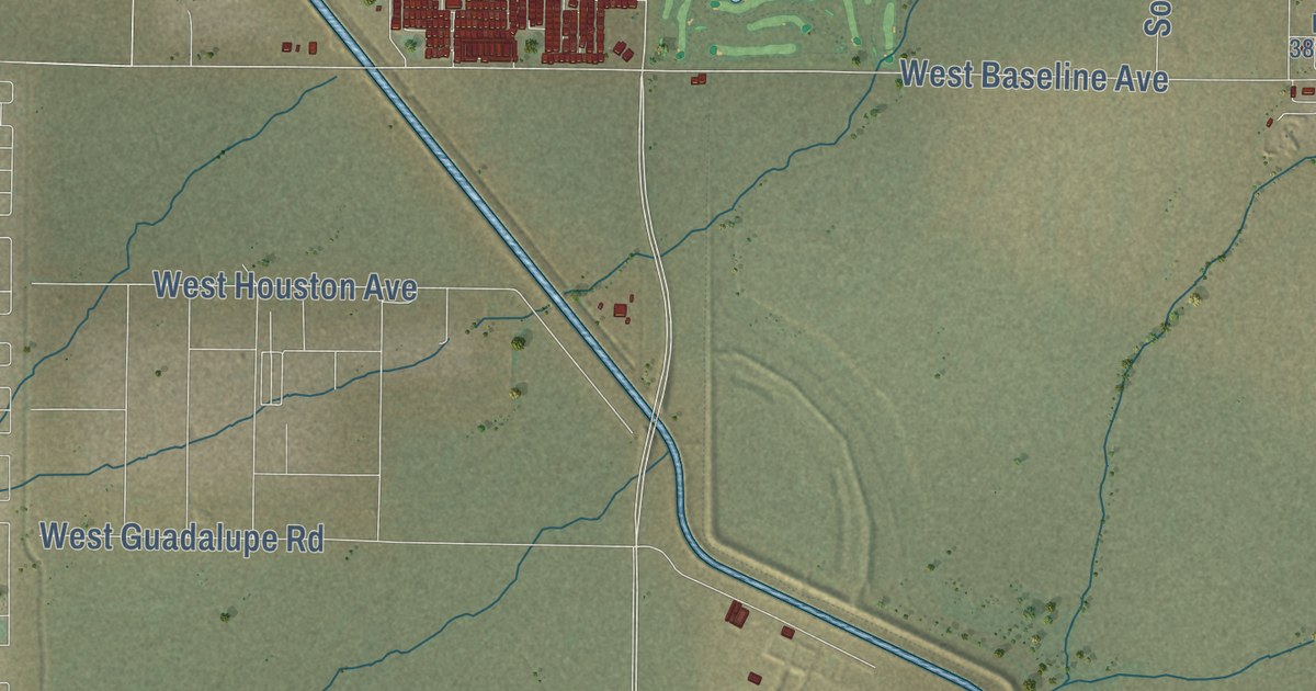
This beautifully detailed map of Apache Junction, Arizona was created in 2026 using aerial imagery combined with modern topographical, census, street and landmark data. It’s a one-of-a-kind view of Apache Junction that combines accurate data with a vintage aesthetic. The map shows every building in its true location, many of the roads carry their names, and the shaded topographic relief shows the shape of the land.
See the Apache Junction, Arizona map on a wall
The Apache Junction map as an 18 x 24 inch print in a black frame.

Explore an aerial view of Apache Junction, Arizona
On the map you’ll find Apache Junction City Hall, Palm Springs, and Superstition Fwy, along with South Idaho Road, East Apache Trail, North Vineyard Road, South Ironwood Drive, East Junction Street, West 16th Avenue, West Windsong Street, South Goldfield Road, North Idaho Road, and more. If you look closely you can even find your house accurately drawn in its correct location. Zoom in on the preview to look for yours.
Did you know this about Apache Junction, Arizona?
Apache Junction took its name from the spot where the Apache Trail met the Old West Highway. Before that, people called the area Youngberg. Superstition Mountain rises to the east of the city.
Take a closer look at the Apache Junction map
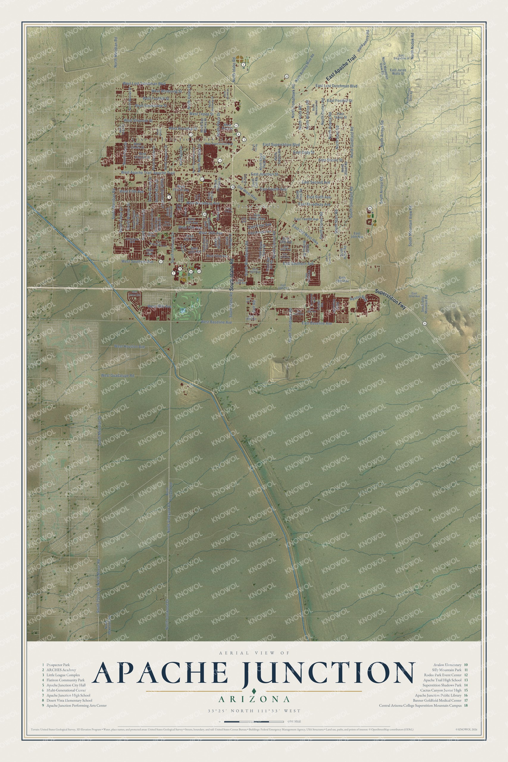
Click to explore a larger preview. The digital watermark does not appear on printed maps.
Street and place names on the Apache Junction, Arizona map
These names are printed on the map of Apache Junction, Arizona.
Places: Apache Junction City Hall and Palm Springs.
Streets and roads: South Idaho Road, East Apache Trail, Superstition Fwy, North Vineyard Road, South Ironwood Drive, East Junction Street, West 16th Avenue, West Windsong Street, South Goldfield Road, North Idaho Road, West Baseline Avenue, South Cactus Road.
More street names, A to Z
13th Avenue, 22nd Avenue, 34th Avenue, Apache Trail, Blue Jay Drive, Canterbury Bell, Colt Road, Cortez Road, Del Sol, East 16th Avenue, East 18th Avenue, East 20th Avenue, East 22nd Avenue, East 26th Avenue, East 28th Avenue, East 29th Avenue, East 30th Avenue, East 32nd Avenue, East 36th Avenue, East 37th Avenue, East 38th Avenue, East Baseline Avenue, East Broadway Avenue, East Cody Street, East Desert Avenue, East Foothill Street, East Fourth Avenue, East Friar Avenue, East Hondo Avenue, East Jacob Waltz Street, East Lost Dutchman Boulevard, East Old West Highway, East Powell Road, East Scenic Street, East Second Avenue, East Singletree Street, East Sixth Avenue, East Southern Avenue, East Superstition Boulevard, East Tepee Street, East Twelfth Avenue, Hackamore Road, Kiowa Circle, Klamath Avenue, Leisure, North Acacia Road, North Apache Drive, North Arroya Road, North Arroyo Seco Road, North Bowman Road, North Bulldog Mine Road, North Cactus Road, North Cedar Drive, North Colt Road, North Cortez Road, North Gold Drive, North Goldfield Road, North Hilton Road, North Ironwood Drive, North Main Drive, North McKenzie Road, North Meridian Road, North Moeur Road, North Monterey Drive, North Mountain View Road, North Nodak Road, North Ocotillo Drive, North Pinal Drive, North Plaza Drive, North Rennick Drive, North Royal Palm Road, North Saguaro Drive, North San Marcos Drive, North Starr Road, North Thunderbird Drive, North Tomahawk Road, North Valley Drive, North Vineyard Rdf, North Vista Road, North Warner Drive, North Wickiup Road, Old West Highway, Resort Boulevard, Rock Hound Drive, South 232nd Street, South Acacia Road, South Arroya Road, South Bel Air Road, South Bowman Road, South Buena Vista Drive, South Cedar Drive, South Colt Road, South Cortez Road, South Delaware Drive, South Desert View Drive, South Fork Lane, South Gold Drive, South Grand Drive, South Hilton Road, South Lago Drive, South Main Drive, South Mara Drive, South Meridian Drive, South Meridian Road, South Mountain View Road, South Ocotillo Drive, South Outpost Road, South Palo Verde Drive, South Papago Drive, South Phelps Drive, South Plaza Drive, South Royal Palm Road, South Silly Mountain Road, South Stardust Lane, South Starr Road, South Tomahawk Road, South Valley Drive, South Vista Road, South Warner Drive, South Wickiup Road, South Winchester Road, West 13th Avenue, West 14th Avenue, West 15th Avenue, West 17th Avenue, West 18th Avenue, West 20th Avenue, West 22nd Avenue, West 36th Avenue, West Apache Trail, West Broadway Avenue, West Cholla Street, West Fifth Avenue, West Foothill Street, West Fourth Avenue, West Guadalupe Road, West Houston Avenue, West Jasper Avenue, West Lost Dutchman Boulevard, West Renaissance Avenue, West Rosa Street, West Roundup Street, West Shiprock Street, West Smoketree Street, West Southern Avenue, West Superstition Boulevard, West Tepee Street, West Virginia Street.
This beautifully detailed map of Apache Junction makes an attractive addition to your office, library, or den, and it can even be used to teach children the geography and history of the area. It also makes a great gift for someone who left Apache Junction and still calls it home. When you’re done exploring, click here to get your copy of the Apache Junction map.