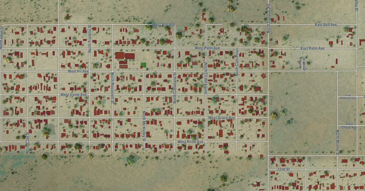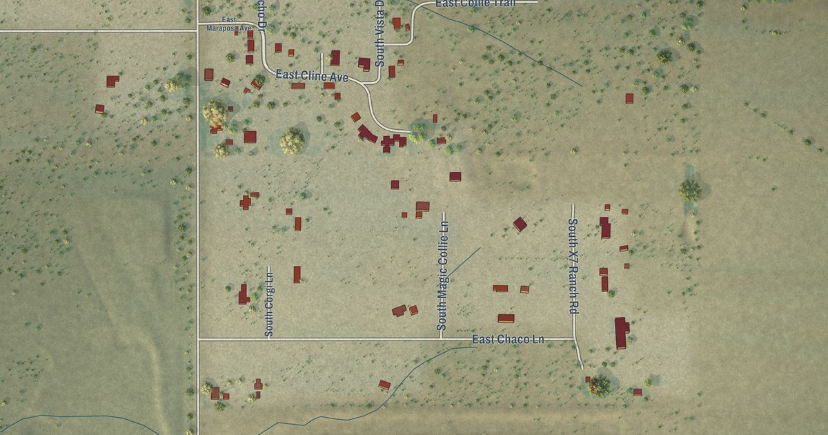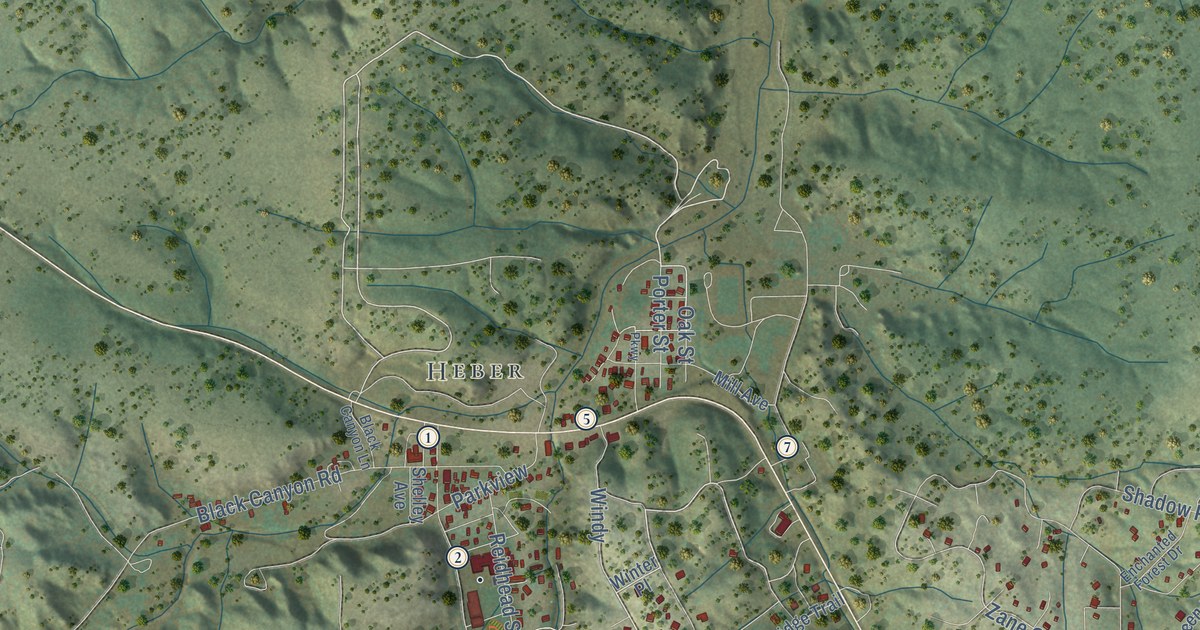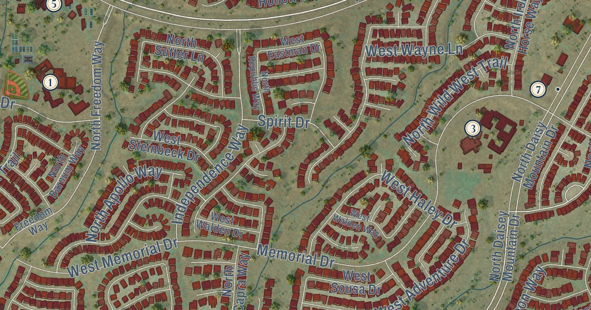
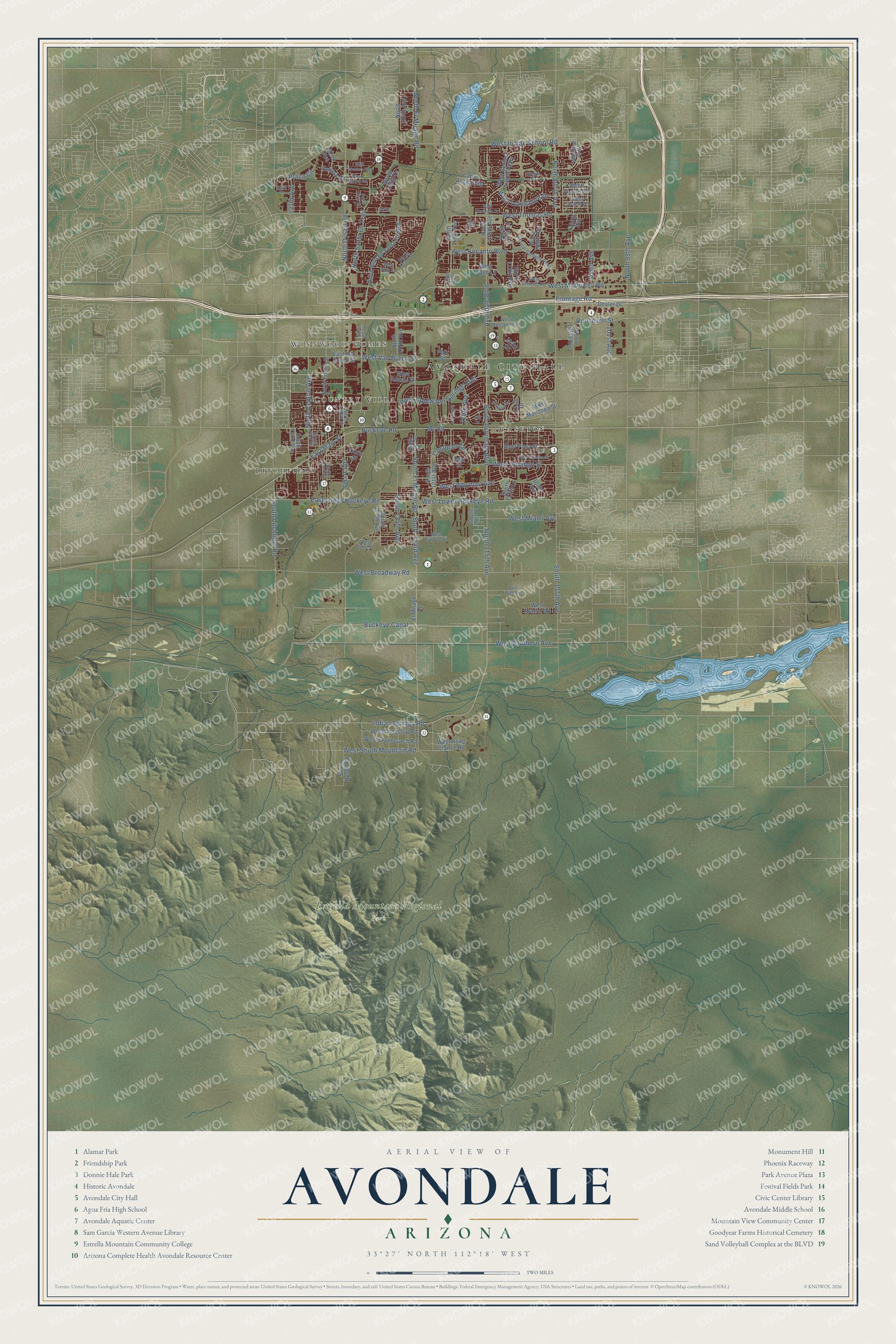
This beautifully detailed map of Avondale, Arizona was created in 2026 using aerial imagery combined with modern topographical, census, street and landmark data. It’s a one-of-a-kind view of Avondale that combines accurate data with a vintage aesthetic. The map shows every building in its true location, many of the roads carry their names, and the shaded topographic relief shows the shape of the land.
See the Avondale, Arizona map on a wall
The Avondale map as an 18 x 24 inch print in a black frame.

Explore an aerial view of Avondale, Arizona
On the map you’ll find Avondale City Hall, Winnwood Homes, Estrella Mountain Regional Park, Litchfield, Cashion, Country Villa, and Mc 85, along with South Avondale Boulevard, Indian Springs Road, West Thomas Road, West Indian School Road, West McDowell Road, and more. If you look closely you can even find your house accurately drawn in its correct location. Zoom in on the preview to look for yours.
Did you know this piece of Avondale, Arizona history?
William G. Moore settled near the Agua Fria River in 1880. He called his settlement Coldwater and later opened a stage station there. It was one of the earliest stage stops in the region, serving travelers bound for northern Arizona and California. The post office later took its name from nearby Avondale Ranch.
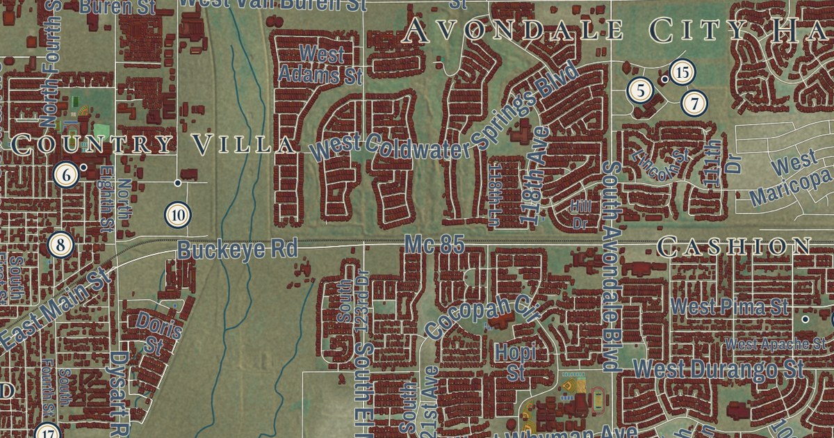
Take a closer look at the Avondale map
Click to explore a larger preview. The digital watermark does not appear on printed maps.
Street and place names on the Avondale, Arizona map
These names are printed on the map of Avondale, Arizona.
Places: Avondale City Hall, Winnwood Homes, Estrella Mountain Regional Park, Litchfield, Cashion and Country Villa.
Streets and roads: South Avondale Boulevard, Indian Springs Road, West Thomas Road, West Indian School Road, Mc 85, West McDowell Road, North Dysart Road, West Van Buren Street, South 123rd Avenue, West Lower Buckeye Road, South El Mirage Road, South 107th Avenue.
More street names, A to Z
101st Avenue, 103rd Avenue, 105th Avenue, 109th Avenue, 111th Drive, 112th Drive, 116th Drive, 118th Avenue, 118th Lane, 119th Avenue, 132nd Avenue, 137th Avenue, Avondale Boulevard, Buckeye Canal, Buckeye Road, Canal Access Road, Cocopah Circle, Crystal Gardens Parkway, Dealer Drive, Doris Street, Dysart Road, Earll Drive, East Lower Buckeye Road, East Main Street, East Van Buren Street, El Mirage Road, Frontage Road, Hill Drive, Hopi Street, Lincoln Street, North 99th Avenue, North 105th Avenue, North 107th Avenue, North 109th Avenue, North 112th Avenue, North 112th Lane, North 115th Avenue, North 119th Avenue, North 123rd Drive, North 124th Avenue, North 126th Drive, North 127th Avenue, North 129th Drive, North Central Avenue, North Eighth Street, North El Mirage Road, North Fourth Street, North Rancho Santa Fe Boulevard, North Santa Fe Trail, North Tenth Street, Osborn Road, Plaza Circle, Polk Street, Roosevelt Street, Sieno Place, South 112th Lane, South 115th Avenue, South 116th Drive, South 121st Avenue, South 123rd Drive, South 125th Avenue, South 127th Avenue, South Dysart Road, South First Street, South Fourth Street, South Litchfield Road, South Third Avenue, Verde Lane, West Adams Street, West Almeria Road, West Apache Street, West Avalon Drive, West Bermuda Drive, West Broadway Road, West Coldwater Springs Boulevard, West Dragstrip Road, West Durango Street, West Elwood Street, West Encanto Boulevard, West Flower Street, West Garden Lakes Parkway, West Holly Street, West Illini Street, West Lakeshore Drive, West Maricopa Street, West Miami Avenue, West Osborn Road, West Palm Lane, West Pima Street, West Road Course Road, West Roeser Road, West Roosevelt Street, West Southern Avenue, West South Mountain Road, West Stagecoach Road, West Weldon Avenue, West Whyman Avenue, West Wier Avenue, Westwind Parkway.
This beautifully detailed map of Avondale makes an attractive addition to your office, library, or den, and it can even be used to teach children the geography and history of the area. It also makes a great gift for anyone who grew up in Avondale or moved away. When you’re done exploring, click here to get your copy of the Avondale map.