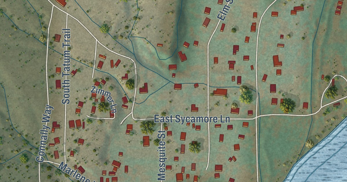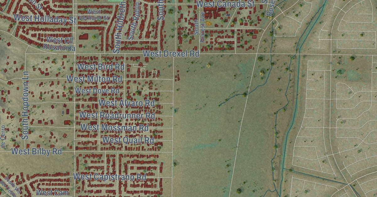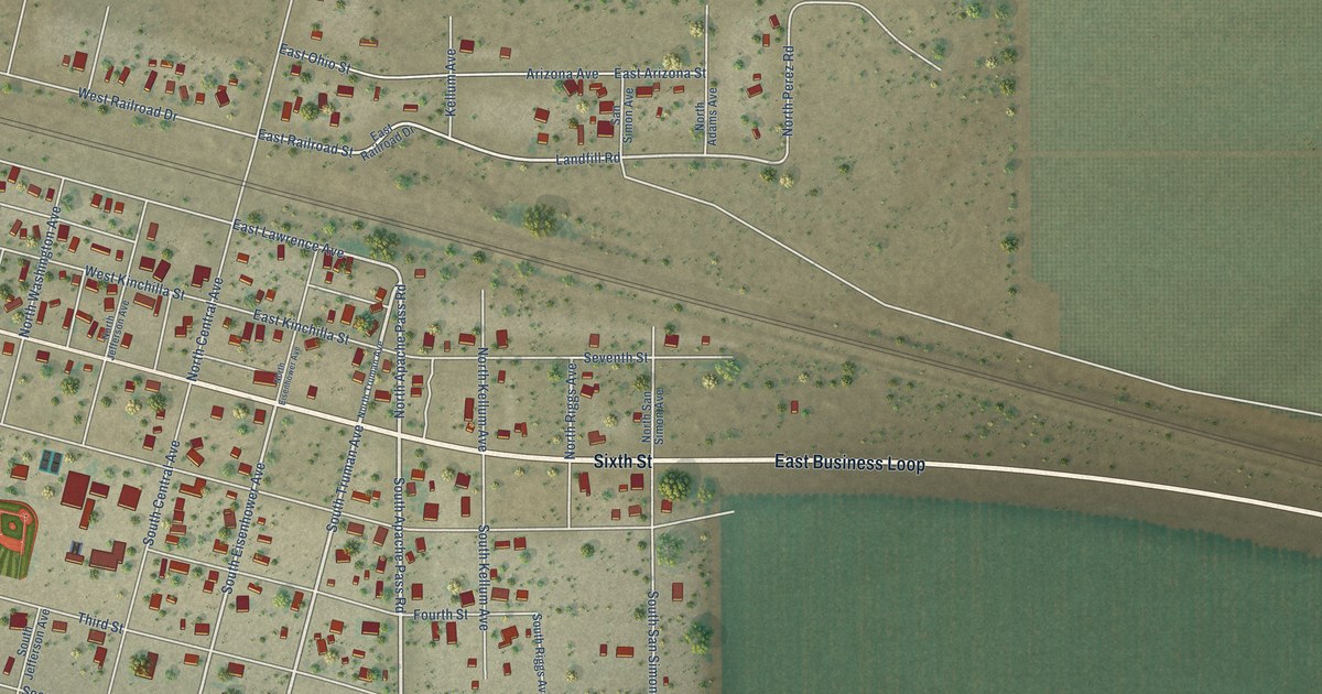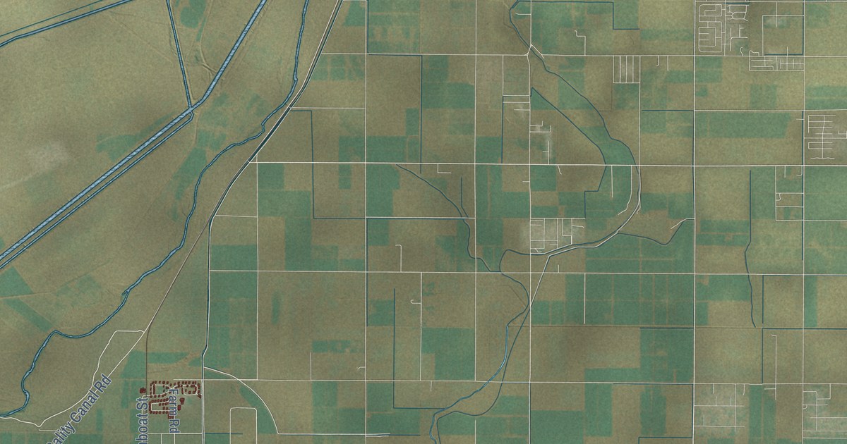
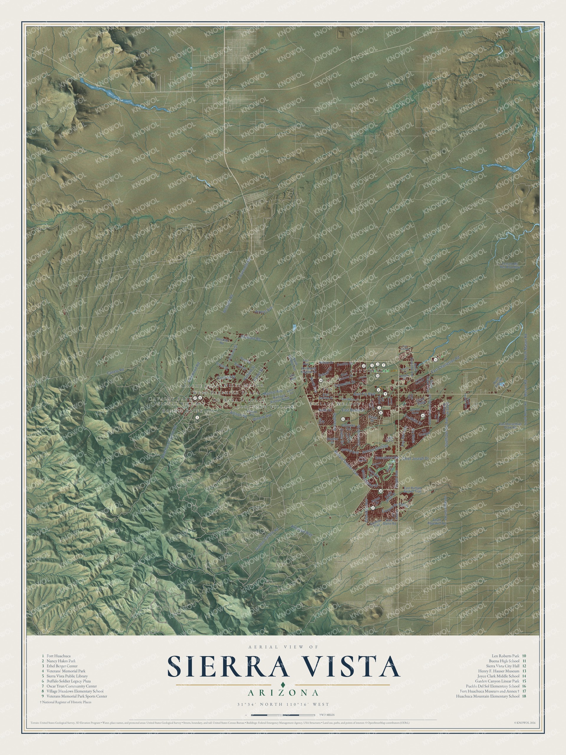
This beautifully detailed map of Sierra Vista, Arizona was created in 2026 using aerial imagery combined with modern topographical, census, street and landmark data. It’s a one-of-a-kind view of Sierra Vista that combines accurate data with a vintage aesthetic. The map shows every building in its true location, many of the roads carry their names, and the shaded topographic relief shows the shape of the land.
See the Sierra Vista, Arizona map on a wall
The Sierra Vista map as an 18 x 24 inch print in a black frame.

Explore an aerial view of Sierra Vista, Arizona
On the map you’ll find City Hall, Bonnie Blink, Miles Manor, Fry, Apache Flats, Village Meadows, De Anza Village, Cavalay Park, Coronado Village, Signal Village, and West Pershing Plaza, along with Irwin Street, and more. If you look closely you can even find your house accurately drawn in its correct location. Zoom in on the preview to look for yours.
Did you know this piece of Sierra Vista, Arizona history?
Sierra Vista became a city in 1956, and leaders held a radio contest to pick its name. Nola Walker kept the entries. She never counted them and simply named her own pick, Sierra Vista, the winner. At the city’s 50th anniversary in 2006, she was granted clemency for the trick.
Take a closer look at the Sierra Vista map
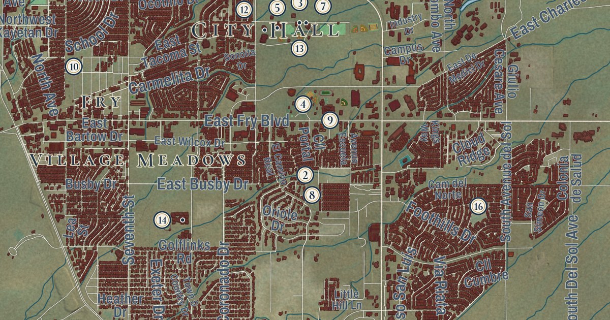
Click to explore a larger preview. The digital watermark does not appear on printed maps.
Street and place names on the Sierra Vista, Arizona map
These names are printed on the map of Sierra Vista, Arizona.
Places: City Hall, Bonnie Blink, Miles Manor, Fry, Apache Flats, Village Meadows, De Anza Village, Cavalay Park, Coronado Village, Signal Village and West Pershing Plaza.
Streets and roads: Irwin Street, Whitside Road, Huachuca Caynon Road, Coronado Drive, Gatewood Road, Brainard Road, Hatfield Street, Winrow Avenue, Buffalo Soldier Trail, East Fry Boulevard, Garden Canyon Road, Canelo Road.
More street names, A to Z
Airport Avenue, Allison Road, Antelope Way, Arizona Street, Avenue Cochise, Avenue Escuela, Bissel Street, Brewer Drive, Busby Drive, Cam del Norte, Campus Drive, Cam Soledad, Canyon de Flores, Carmelita Drive, Carter Street, Cherokee Avenue, Chief Joseph Drive, Cll Cumbre, Cll Jasmin, Cll Portal, Cloud Ridge, Colonia de Salud, Cushing Street, Eagle Ridge Drive, East Bartow Drive, East Buffalo Soldier Trail, East Busby Drive, East Charleston Road, East De Medici Drive, East Glenn Road, East Horsethief Draw Road, East Tacoma Street, East Wilcox Drive, El Camino Real, Elevenmile Road, Exeter Drive, Fenced Mil Res Boundary, Foothills Drive, Fort Avenue, Gerstner Road, Giulio Cesare Avenue, Glenview Drive, Golflinks Road, Greenbrier Road, Heather Drive, Hunt Road, Industry Drive, Jim Avenue, Kachina Trail, Kelsay Avenue, Kilbourn Avenue, Kings Way, Lea Street, Little Hill Lane, Machol Avenue, Moson Road, Nelson Drive, North Avenue, North Colombo Avenue, North Garden Avenue, North Kino Road, North Mason Road, Northwest Kayetan Drive, Oakmont Drive, Ocotillo Drive, Oriole Drive, Player Avenue, Pso San Luis, Railroad Avenue North, Raven Drive, San Simeon Drive, School Drive, Seventh Street, Sonoita Drive, South Aqueduct Road, South Avenue del Sol, South Del Sol Avenue, South Moson Road, South Nature Way, Summit Boulevard, Town & Country Drive, Unnamed Dirt Road, Valley Sage Street, Via Riata, Winterhaven Drive.
This beautifully detailed map of Sierra Vista makes an attractive addition to your office, library, or den, and it can even be used to teach children the geography and history of the area. It also makes a great gift for anyone with Sierra Vista roots. When you’re done exploring, click here to get your copy of the Sierra Vista map.