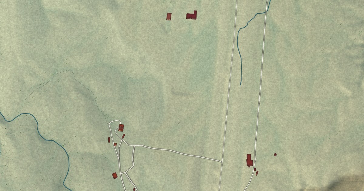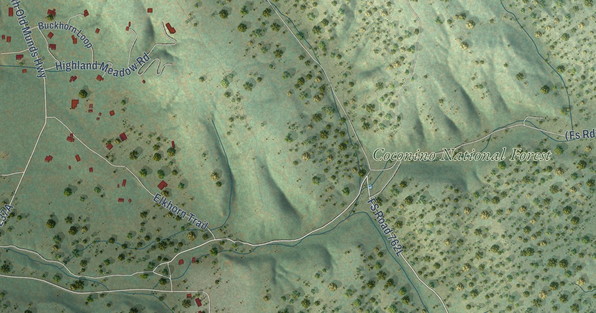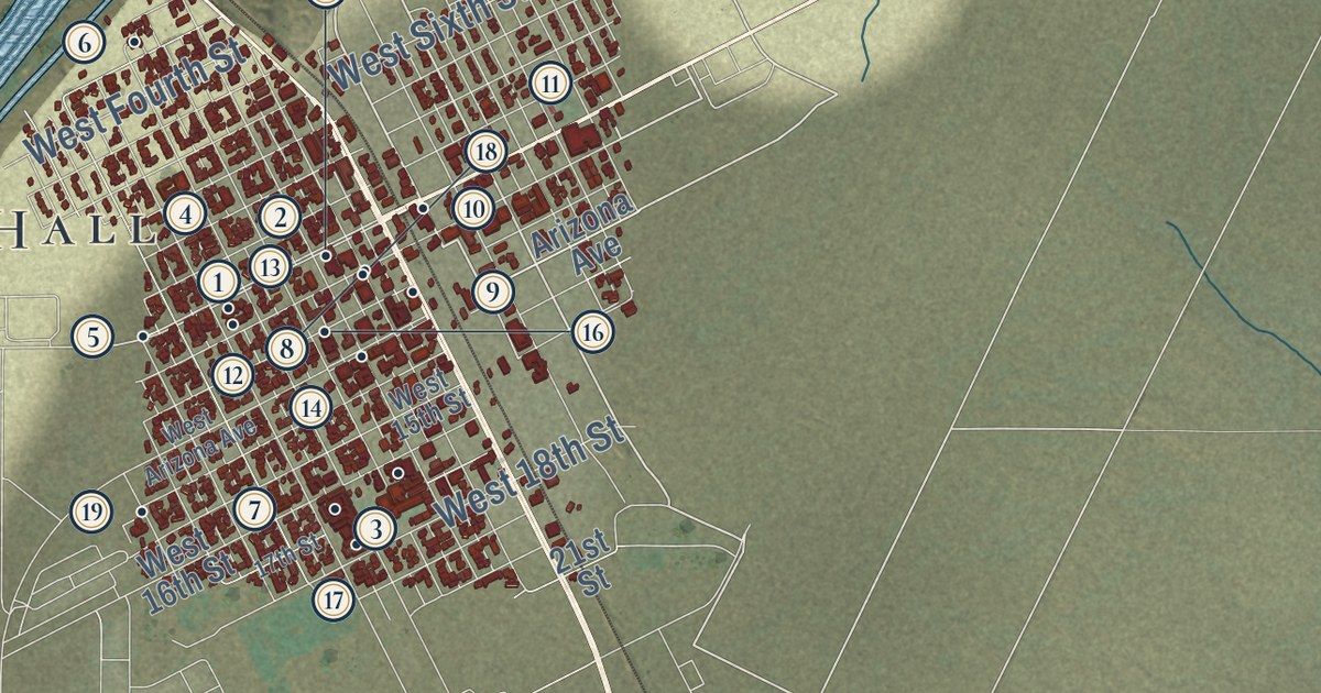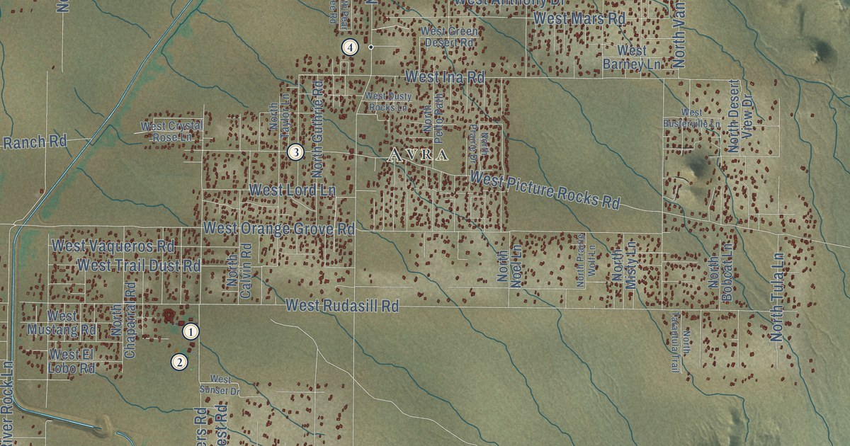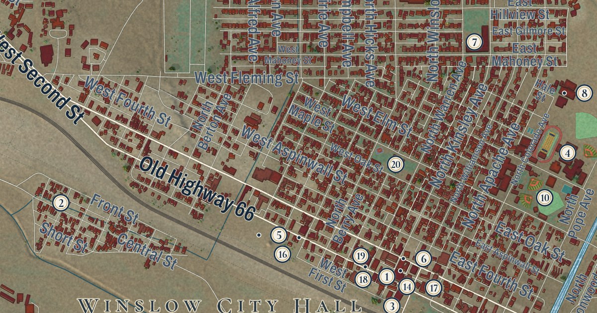
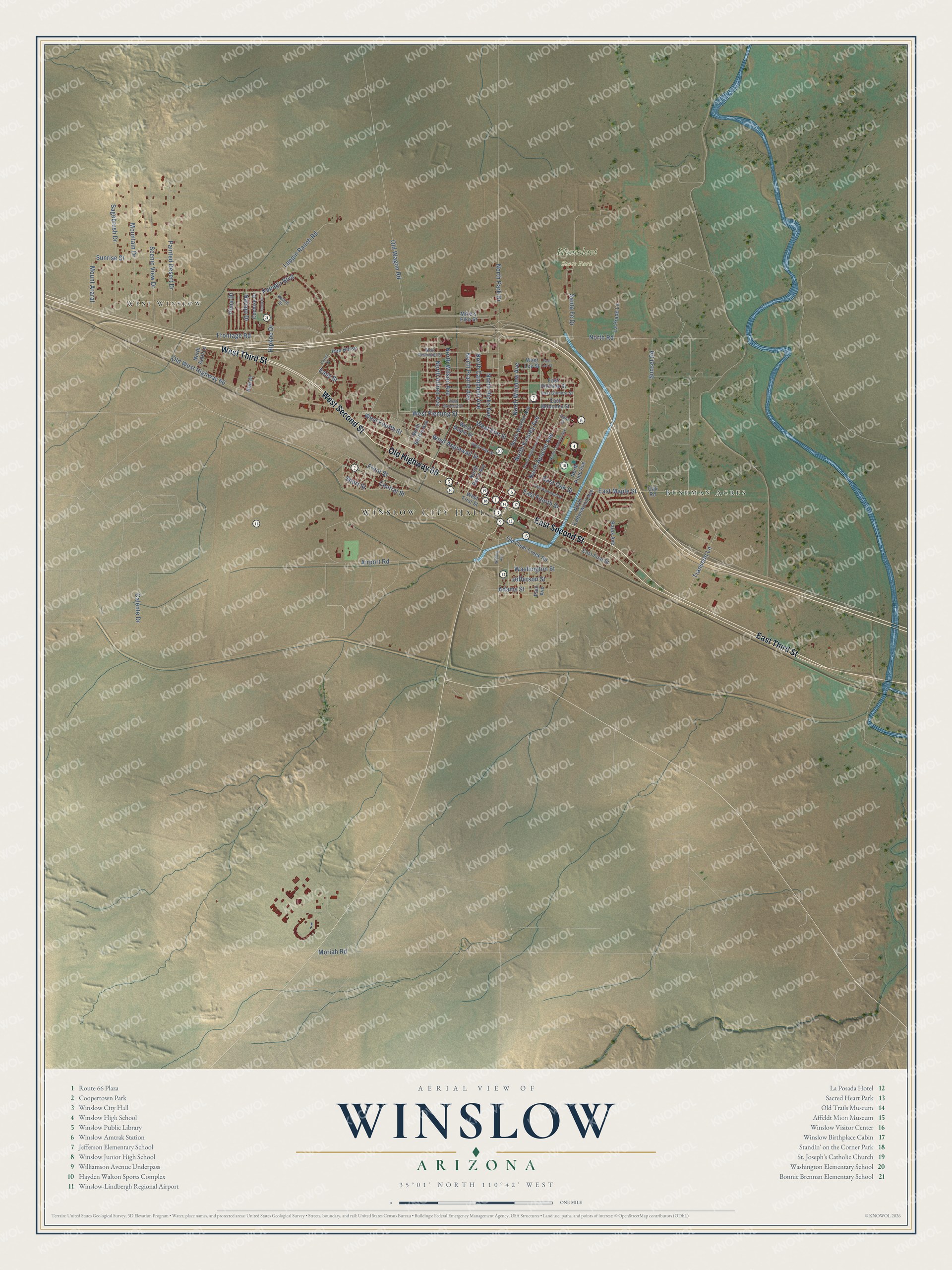
This beautifully detailed map of Winslow, Arizona was created in 2026 using aerial imagery combined with modern topographical, census, street and landmark data. It’s a one-of-a-kind view of Winslow that combines accurate data with a vintage aesthetic. The map shows every building in its true location, many of the roads carry their names, and the shaded topographic relief shows the shape of the land.
See the Winslow, Arizona map on a wall
The Winslow map as an 18 x 24 inch print in a black frame.

Explore an aerial view of Winslow, Arizona
On the map you’ll find Winslow City Hall, West Winslow, Bushman Acres, and Homolovi State Park, along with Old Highway 66, West Third Street, West Second Street, East Third Street, East Second Street, Pima Drive, Central Street, West Fleming Street, and more. If you look closely you can even find your house accurately drawn in its correct location. Zoom in on the preview to look for yours.
Did you know this piece of Winslow, Arizona history?
The Harvey House in Winslow, designed by Mary Colter, opened in 1930 and closed in 1957. The Santa Fe Railway later turned much of it into offices. The railroad left the building in 1994 and planned to tear it down. Allan Affeldt bought and restored the old hotel, which now operates as La Posada Hotel.
Take a closer look at the Winslow map
Click to explore a larger preview. The digital watermark does not appear on printed maps.
Street and place names on the Winslow, Arizona map
These names are printed on the map of Winslow, Arizona.
Places: Winslow City Hall, West Winslow, Bushman Acres and Homolovi State Park.
Streets and roads: Old Highway 66, West Third Street, West Second Street, East Third Street, East Second Street, Pima Drive, Central Street, West Fleming Street, West Fourth Street, North Kinsley Avenue, East Maple Street, West Elm Street.
More street names, A to Z
Adams Street, Airport Road, Bales Avenue, Calente Drive, Carrol Drive, Cochise Drive, East Aspinwall Street, East First Street, East Fourth Street, East Gilmore Street, East Hillview Street, East Lee Street, East Mahoney Street, East Oak Street, Easy Street, Frontage Road, Front Street, Hale Street, Hipkoe Drive, Iron Horse, Jefferson Street, Kathie Drive, Kell Place, La Prade Lane, Leppin Ranch Road, Mike's Pike Street, Moriah Road, Mountain Drive, Mount Ararat, Navajo Drive, North Adot Lane, North Alfred Avenue, North Apache Avenue, North Berry Avenue, North Berton Avenue, North Campbell Avenue, North Colorado Avenue, North Cottonwood Avenue, North Hicks Avenue, North Park Drive, North Pope Avenue, North Prairie Avenue, North Road, North Warren Avenue, North Williamson Avenue, North Wilson Avenue, North Winslow Avenue, Oak Road, Old Clear Creek Road, Old Wagon Road, Old West Highway 66, Painted Desert Drive, Papago Boulevard, Paul Avenue, Sagebrush Drive, Santa Fe Drive, Scenic View Drive, Short Street, Sunrise Street, Sunset Road, Transcon Lane, Virginia Avenue, Washington Street, West Aspinwall Street, West Desmond Street, West First Street, West Lee Street, West Mahoney Street, West Maple Street, West Oak Street, Yuma Drive.
This beautifully detailed map of Winslow makes an attractive addition to your office, library, or den, and it can even be used to teach children the geography and history of the area. It also makes a great gift for someone who left Winslow and still calls it home. When you’re done exploring, click here to get your copy of the Winslow map.