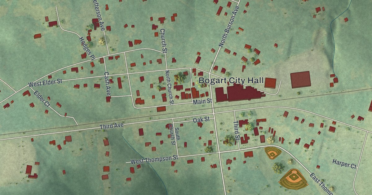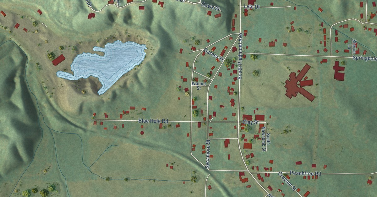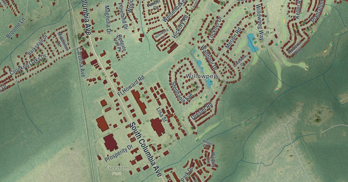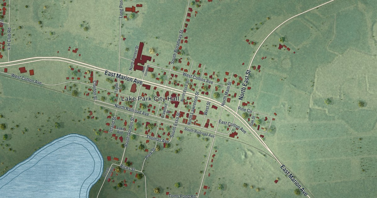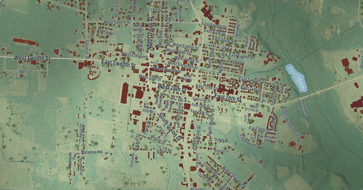
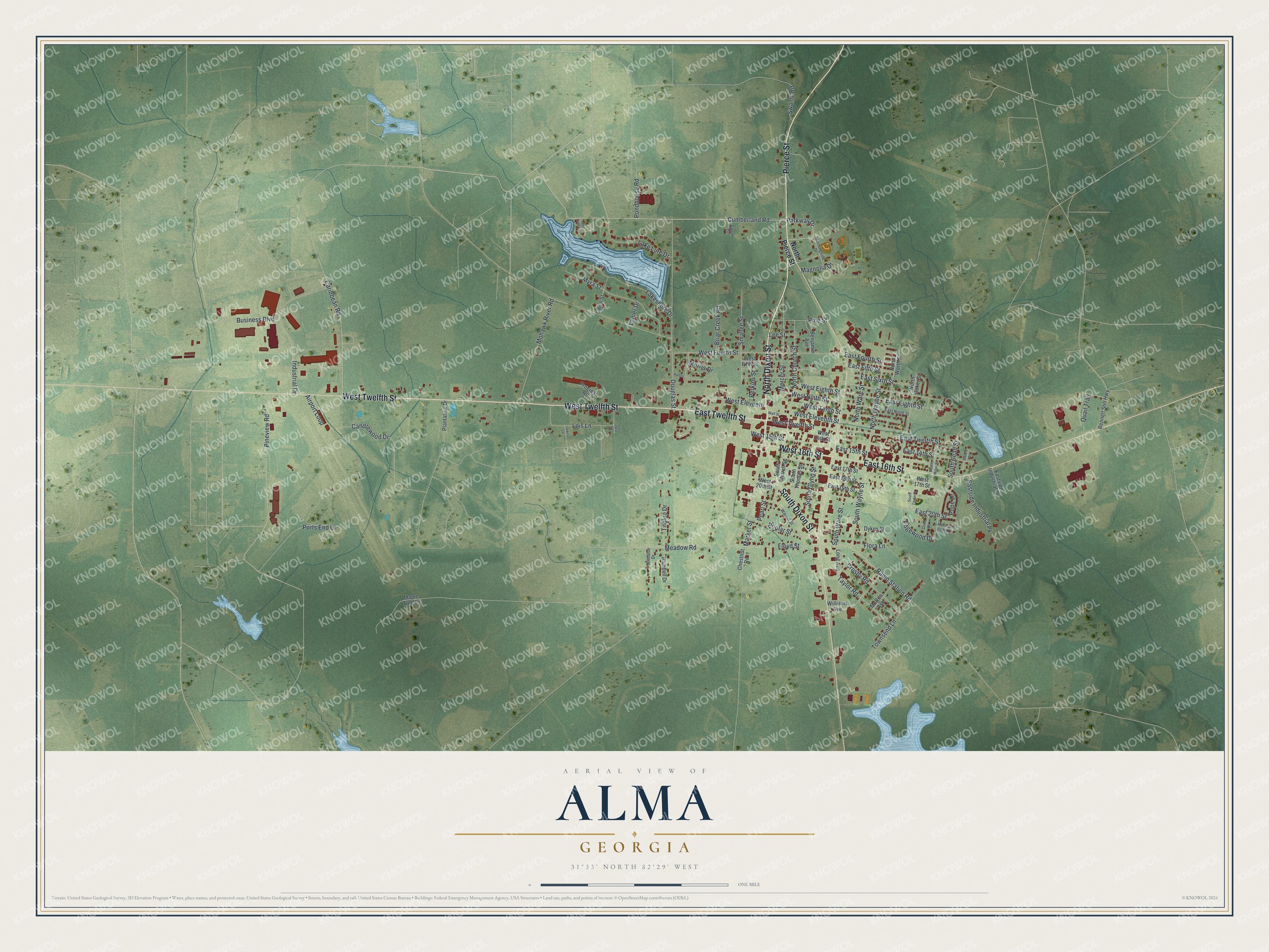
This beautifully detailed map of Alma, Georgia was created in 2026 using aerial imagery combined with modern topographical, census, street and landmark data. It’s a one-of-a-kind view of Alma that combines accurate data with a vintage aesthetic. The map shows every building in its true location, many of the roads carry their names, and the shaded topographic relief shows the shape of the land.
Explore an aerial view of Alma, Georgia
On the map you’ll find Dixon Street, Twelfth Street, Pierce Street, Cumberland Road, Parkway Drive, and more. If you look closely you can even find your house accurately drawn in its correct location. Zoom in on the preview to look for yours.
Did You Know?
Alma began in 1900 as a railroad stop on the Atlantic Coast Line. In 1914 it became seat of the new Bacon County. Today the city is known as Georgia’s blueberry capital. It holds a Blueberry Festival every June.
Take a closer look at the Alma map
Names on this map
These names are printed on this map.
Streets and roads: North Dixon Street, East Twelfth Street, West Twelfth Street, West 16th Street, Pierce Street, East 16th Street, South Dixon Street, Cumberland Road, Parkway Drive, Caribbean Road, South Wayne Street, North Wayne Street.
More street names, A to Z
Airport Loop, Benjamin Avenue, Bennett Still Highway, Bluebell Drive, Briar Creek Road, Briteblue Drive, Business Boulevard, Candlewood Drive, Chestnut Road, Cone Drive, Crosby Road, Douglas Street, Dykes Street, East 14th Street, East 15th Street, East 17th Street, East 18th Street, East 19th Street, East 20th Street, East Eighth Street, East Fifth Street, East Fourth Street, East Ninth Street, Eastside Industrial Drive, Eastside Industrial Pk, East Sixth Street, Edgewood Drive, Edna Drive, Flora Lane, Floyd Street, Gwen Street, Holton, Hurricane Creek Drive, Industrial Drive, Jace Lane, Lake Lure Circle, Lake Lure Drive, Lakeshore Drive, Lanier Drive, Lee Street, Lewis Lane, Lois Lane, Long Avenue, Magnolia Drive, Maple Tree Lane, Market Street, McRea Avenue, Meadow Road, Mercer Street, Mohawk River Road, Morningside Drive, Morris Drive, Myra Street, North Baker Street, North Church Street, North Pierce Street, North Ware Street, North Worth Street, Pearl Street, Perkins Street, Pine Street, Pineview Road, Plantation Drive, Pondhouse Road, Pope Drive, Poplar Street, Ports End Lane, Progress Road, Quail Trail, Radio Station Road, Smallee Street, South Bead Street, South Church Street, South Glynn Street, South Miller Street, South Taylor Street, South Thomas Street, South Ware Street, Staten Street, Swamp Road, Taylor Road, Tifblue Drive, Townsend Lane, Wall Street, Walnut Street, West 14th Street, West 15th Street, West 17th Street, West 20th Street, West Eighth Street, West Eleventh, West Eleventh Street, West Fifth Street, West Fourth Street, West Ninth Street, West Tenth Street, Williams Avenue.
See it on a wall
The Alma map as a framed print. Swipe for more.


This beautifully detailed map of Alma makes an attractive addition to your office, library, or den, and it can even be used to teach children the geography and history of the area. It also makes a great gift for anyone with Alma roots. When you’re done exploring, click here to get your copy of the Alma map.