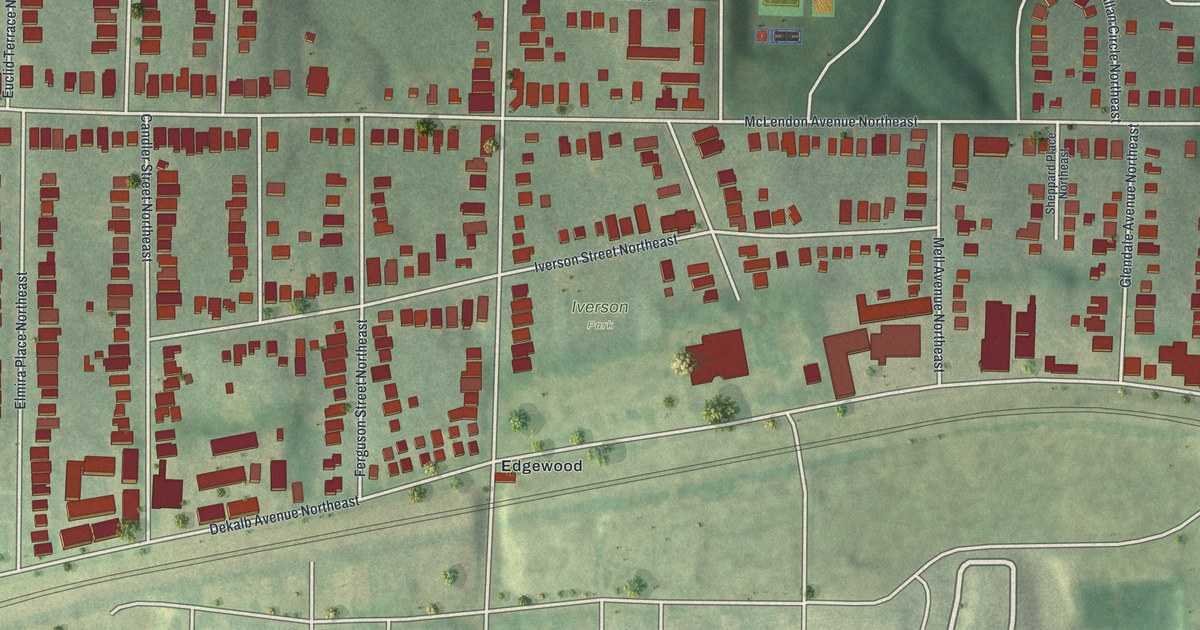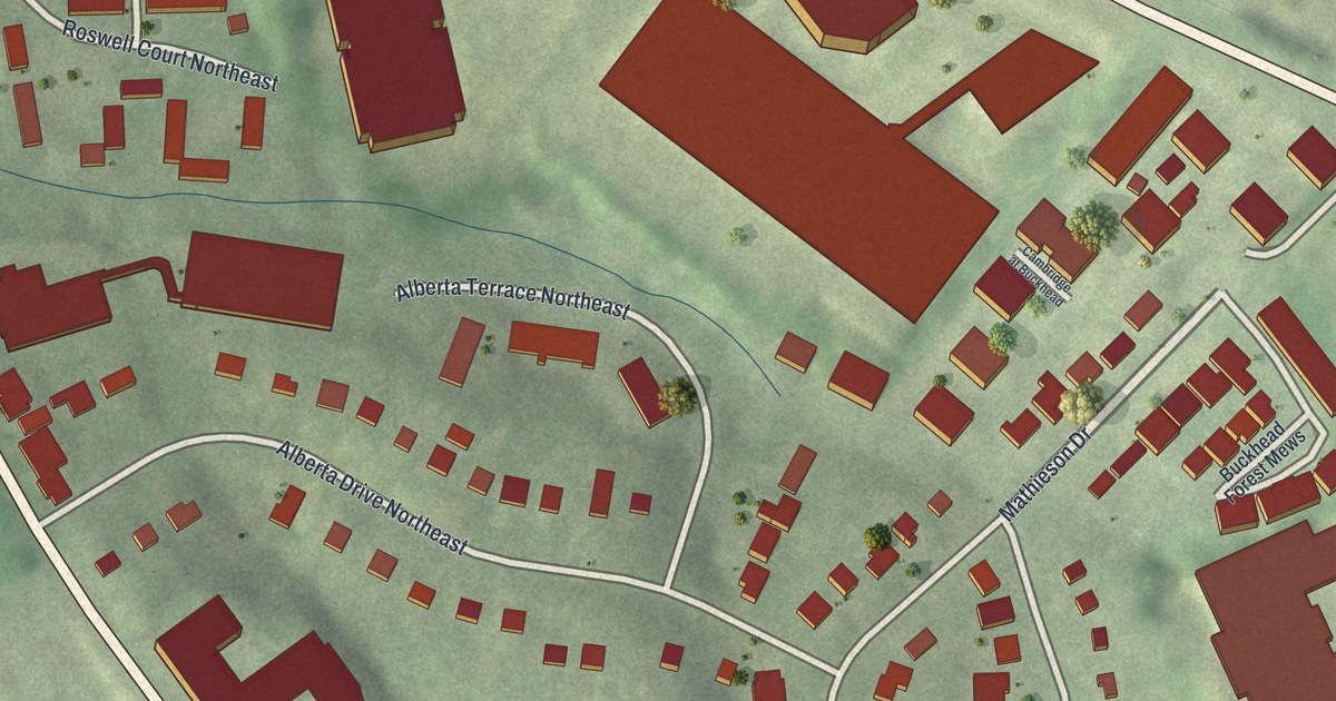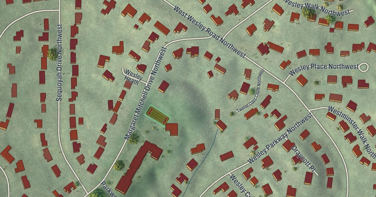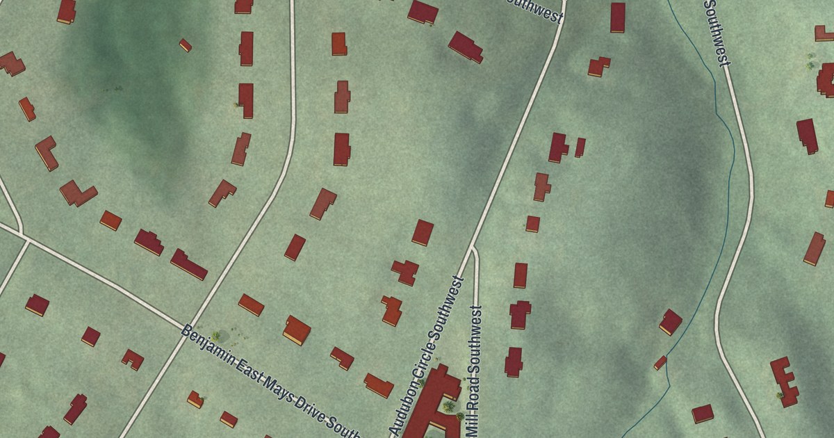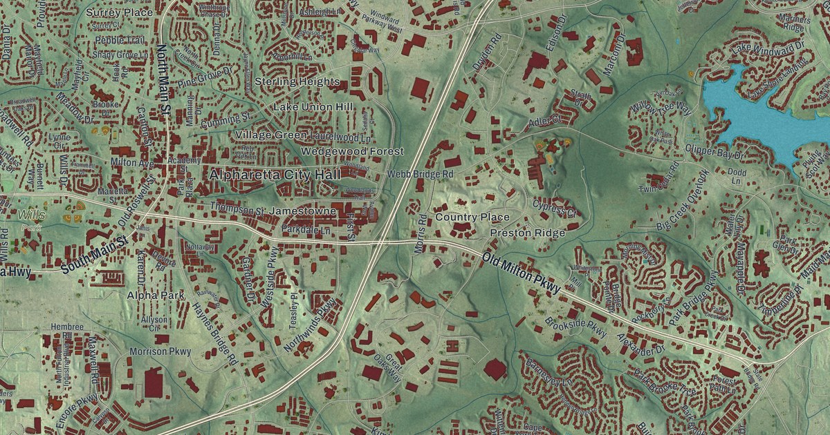
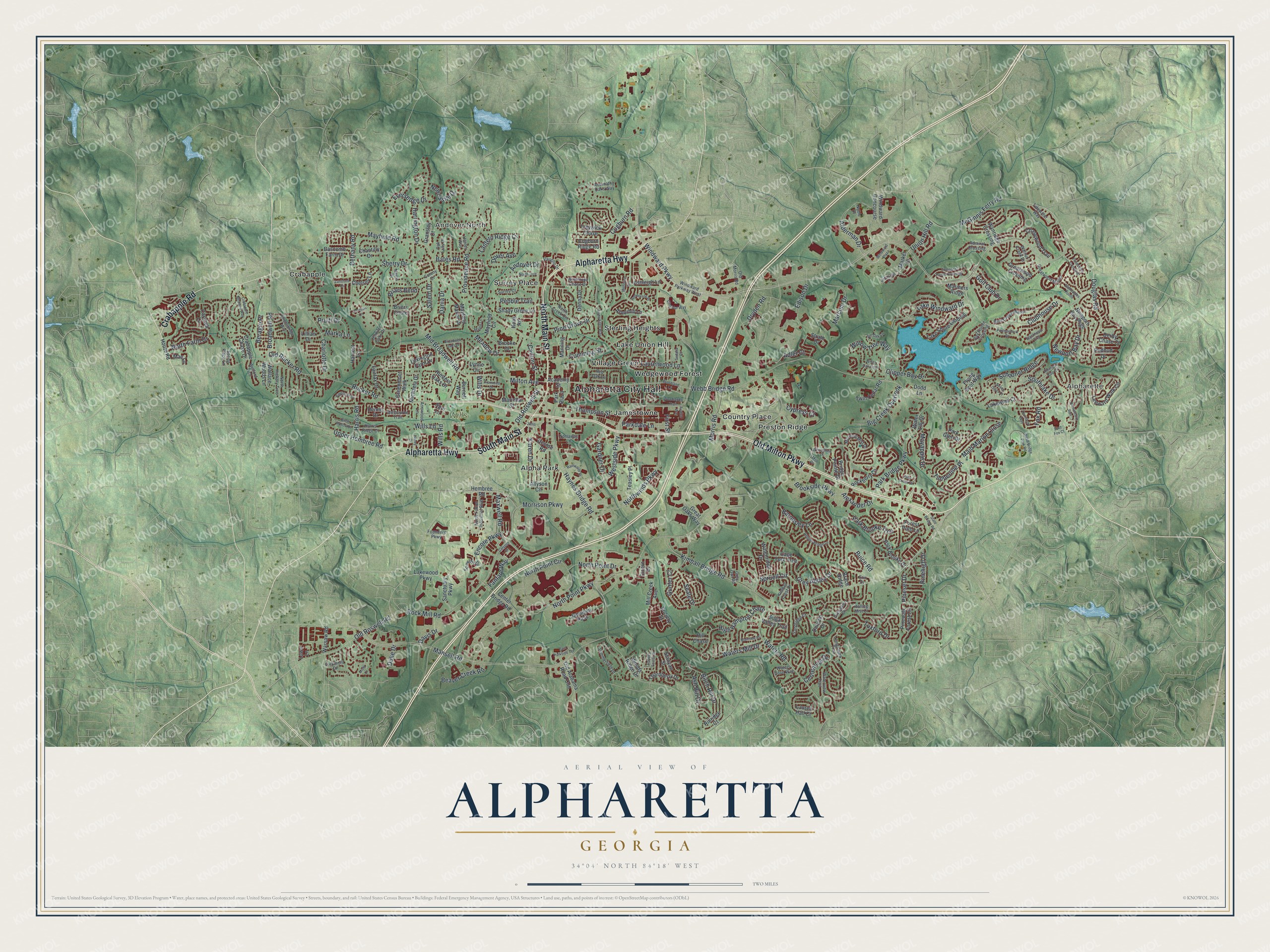
This beautifully detailed map of Alpharetta, Georgia was created in 2026 using aerial imagery combined with modern topographical, census, street and landmark data. It’s a one-of-a-kind view of Alpharetta that combines accurate data with a vintage aesthetic. The map shows every building in its true location, many of the roads carry their names, and the shaded topographic relief shows the shape of the land.
Explore an aerial view of Alpharetta, Georgia
On the map you’ll find Alpharetta City Hall, Alpharette, Andover North, Alpha Park, Country Place, Crabapple, and Wills Park, along with Old Milton Parkway, Main Street, Alpharetta Highway, Crabapple Road, and more. If you look closely you can even find your house accurately drawn in its correct location. Zoom in on the preview to look for yours.
Did You Know?
One of the first landmarks here was the New Prospect Camp Ground, beside a natural spring. Known as Milton until July 1858, the town was chartered as Alpharetta that December. It served as the Milton County seat until 1931. That year Milton merged with Fulton to escape bankruptcy during the Great Depression.
Take a closer look at the Alpharetta map
Names on this map
These names are printed on this map.
Places: Alpharetta City Hall, Alpharette, Andover North, Wills Park, Alpha Park, Country Place, Crabapple, Jamestowne, Lake Union Hill, Preston Ridge, Sterling Heights, Surrey Place, Village Green and Wedgewood Forest.
Streets and roads: Old Milton Parkway, North Main Street, Alpharetta Highway, South Main Street, Crabapple Road, Windward Parkway, Kimball Bridge Road, Rucker Road, Westside Parkway, Milton Avenue, Old Roswell Road, Cogburn Road.
More street names, A to Z
Abernathy Oaks Way, Academy Street, Adler Court, Admiral Crossing, Alderman Drive, Alexander Drive, Allyson Circle, Americas Cup Cv, Andover Drive, Arborhill Lane, Arrowood Lane, Ashleigh Lane, Ash Rill Drive, Avalon Way, Bannerhorn Run, Barnesley Lane, Bascomb Farm Drive, Bates Road, Bay Pointe Crossing, Beaver Creek Road, Bent Creek Manor, Beragio Place, Bethany Road, Big Creek Overlook, Birch Hollow Drive, Birch Rill Drive, Blackheath Trce, Brace Ridge, Briars Bend, Bridge Pointe Drive, Briers Chute, Broadwell Oaks Drive, Broadwell Road, Brooke Drive, Brookside Parkway, Buice Road, Burnett Way, Calypso Drive, Canton Street, Cape York Trce, Carybell Lane, Centennial Drive, Center Bridge Road, Chantilly Drive, Charlotte Drive, Chasewood Trail, Chelsey Lane, Cicero Drive, Cingular Way, Clipper Bay Drive, Clubhouse Drive, Cogburn Ridge Road, Colony Drive, Compass Pointe Crossing, Crabapple Chase Drive, Crabapple Meadow Way, Cumming Street, Cypress Court, Dania Drive, Davis Drive, Denna Drive, Dennis Drive, Derby Chase Court, Devore Road, Dodd Lane, Douglas Road, Dover Avenue, Dryden Road, Duke Drive, Dunoon Drive, East Fox Court, East Parkside Terrace, Edison Drive, Encore Parkway, Erin Drive, Eversedge Drive, Fairfax Drive, Fanfare Way, Fieldstone Crossing, First Street, Flying Scot Way, Forest Path Lane, Founders Parkway, Fox Road, Gardner Drive, Gleneagles Pointe, Golf Club Drive, Gransley Court, Great Oaks Way, Greatwood Crossing, Greatwood Manor, Greenmont Walk, Grenadier Lane, Grey Abbey Drive, Grey Owl Road, Gunter Court, Haney Drive, Harrington Drive, Harris Ridge Court, Harris Road, Harvest Lane, Haynes Bridge Road, Haynes Forest Drive, Hebden Bridge Lane, Hembree Road, Henderson Place, Henley Way, High Hampton Chase, Hill Chase, Hook Road, Houze Road, Hunters Oaks Drive, Jameson Pass, Janis Lane, Jayne Ellen Way, Jefferson Court, Jennifer Oaks Drive, Karen Drive, Kimball Crest Drive, Kingsmark Trail, Kingsport Drive, Knightsbridge Way, Lake Shore Landing, Lakewind Court, Lake Windward Drive, Lakewood Parkway, Lantern Ridge Court, Laurelwood Lane, Lauren Hall Court, Leeward Walk Circle, Lexington Farm Drive, Lillian Drive, Lowe Lane, Lunsford Circle, Lynne Circle, Mae Lane, Maid Marion Close, Mainstay Place, Manning Drive, Mansell Road, Maple Lane, Marconi Drive, Marietta Street, Mariners Ridge, Marka Lane, Market Place, Maxwell Road, Mayapple Drive, Mayfield Circle, Mayfield Manor Drive, Mayfield Road, McGinnis Ferry Road, Meadow Drive, Melbourne Trail, Michaela Drive, Mid Broadwell Road, Mill Creek Avenue, Mill Place, Millstone Drive, Misty Lane, Morning Mist Drive, Morrison Parkway, Morris Road, Myers Drive, Newcastle Drive, Newport Bay Drive, Newport Bay Psge, Noble Court, North Creek Circle, North Farm Drive, North Fulton Industrial Boulevard, North Hickory Trce, North Point Circle, North Point Drive, North Point Parkway, North Trce, Northwinds Parkway, Nottaway Lane, Oak Falls Drive, Old Alabama Road Con, Old Morris Road, Old Roswell Street, Old Rucker Road, Park Bridge Parkway, Park Brooke Drive, Park Brooke Trce, Park Creek Drive, Parkdale Lane, Park Glen Drive, Parkmont Drive, Park Plaza, Pebble Trail, Pine Grove Drive, Pinehigh Drive, Pineset Drive, Pinewalk Forest Circle, Pin Oak Lane, Portmarnock Drive, Providence Road, Pruitt Drive, Rainwater Drive, Redbud Drive, Red Oak Lane, Rillridge Court, Rockberry Lane, Rock Mill Road, Rolling Mist Court, Rumson Lane, Salem Drive, Sanctuary Parkway, Sandridge Court, Schooner Ridge, Seale Drive, Sedalia Court, Seven Seas Court, Shady Grove Lane, Sherry Drive, Society Street, Somerby Drive, Southlake Drive, Spring Place Lane, Spruell Circle, Spur Lane, Stanyan Street, State Bridge Road, Strath Drive, Sugar Valley Trail, Summerfield Drive, Surrey Court, Teasley Place, Thompson Street, Thornberry Drive, Thornbury Way, Tidewater Way, Timberline Place, Trammell Drive, Traywick Chase, Tuxford Drive, Twin Cedar Road, Union Hill Road, Upper Hembree Road, Vaughn Drive, Wallace Woods Lane, Walnut Creek Drive, Warsaw Road, Water Lily Drive, Waters Cove Way, Waters Mill Drive, Waters Road, Waterview Trail, Webb Bridge Park Road, Webb Bridge Road, Welford Trce, White Oak Pass, Whitestone Place, Willow Tree Way, Wills Drive, Wills Lane, Wills Road, Windward Concourse, Windward Parkway West, Windward Plaza, Winthrope Chase Drive, Wittenridge Drive, Woodland Lane, Woodlands Trail, Woods Ridge Drive, Wynridge Crossing.
See it on a wall
The Alpharetta map as a framed print. Swipe for more.


This beautifully detailed map of Alpharetta makes an attractive addition to your office, library, or den, and it can even be used to teach children the geography and history of the area. It also makes a great gift for someone who left Alpharetta and still calls it home. When you’re done exploring, click here to get your copy of the Alpharetta map.