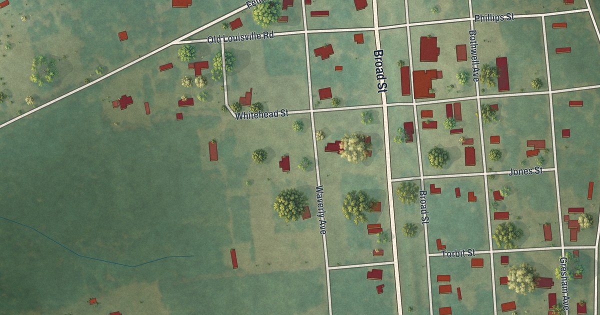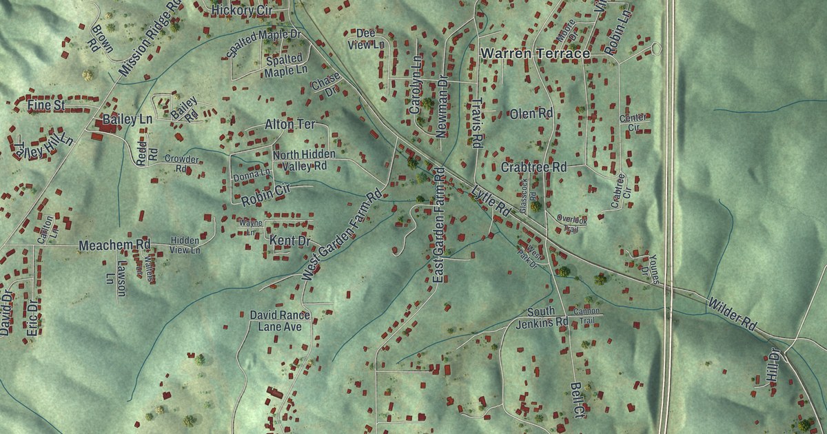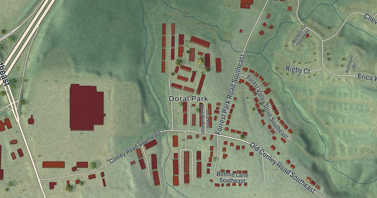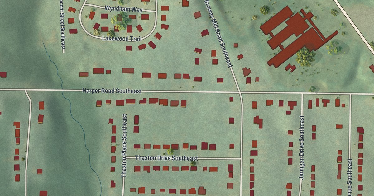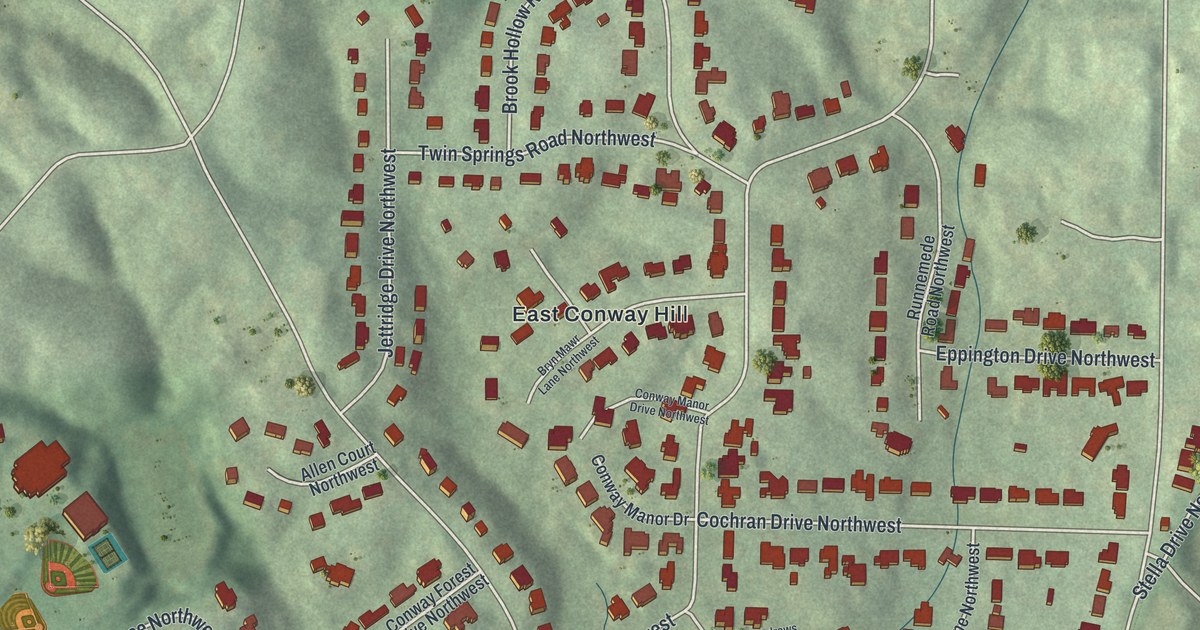
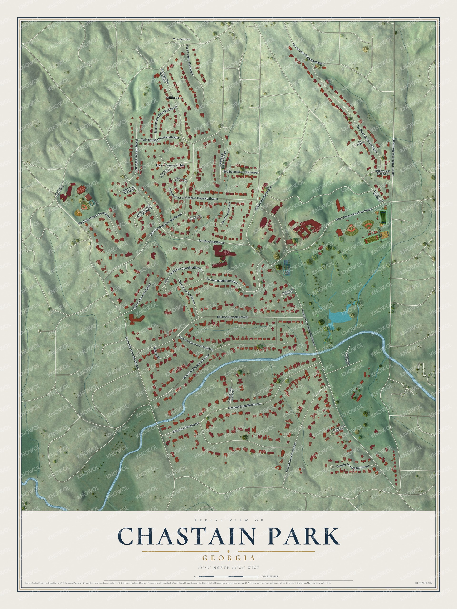
This beautifully detailed map of Chastain Park, Georgia was created in 2026 using aerial imagery combined with modern topographical, census, street and landmark data. It’s a one-of-a-kind view of Chastain Park that combines accurate data with a vintage aesthetic. The map shows every building in its true location, many of the roads carry their names, and the shaded topographic relief shows the shape of the land.
Explore an aerial view of Chastain Park, Georgia
On the map you’ll find East Conway Hill, Millbrook, and Montwicke, along with Powers Ferry Road, East Conway Drive, Hillside Drive, Broadland Road, Jett Road, and more. If you look closely you can even find your house accurately drawn in its correct location. Zoom in on the preview to look for yours.
Did You Know?
In 1940 Fulton County Commissioner Troy Green Chastain led the creation of a 268-acre park here, first called North Fulton Park. Works Progress Administration crews helped build its golf course, stables and outdoor amphitheater. Chastain died in 1945. In 1946 the county renamed the grounds Chastain Memorial Park to honor him.
Take a closer look at the Chastain Park map
Names on this map
These names are printed on this map.
Places: East Conway Hill, Millbrook and Montwicke.
Streets and roads: Powers Ferry Road Northwest, East Conway Drive Northwest, Hillside Drive Northwest, Broadland Road Northwest, Jett Road Northwest, King Road Northwest, Pineland Road Northwest, West Wieuca Road Northwest, Tall Pines Drive Northwest, Northside Drive Northwest, Lake Forrest Drive Northwest, Blanton Road Northwest.
More street names, A to Z
Allen Court Northwest, Barbara Lane Northwest, Brook Hollow Road Northwest, Bryn Mawr Lane Northwest, Chastain Cmns Northeast, Cochran Drive Northwest, Conway Forest Drive Northwest, Conway Manor Drive, Conway Manor Drive Northwest, Dudley Lane Northwest, Dykes Drive Northwest, Eppington Drive Northwest, Exeter Close Northwest, Forrest Lake Drive Northwest, Hillside Place, Hollydale Court, Hollydale Court Northwest, Jettridge Drive Northwest, Millbrook Drive Northwest, Mount Paran Road Northwest, North Broadland Road Northwest, Northside Chase Northwest, Paran Valley Northwest, Pinehill Place Northwest, Reid Lane Northwest, Runnemede Road Northwest, Saint Andrews Drive Northwest, Stella Drive Northwest, Tall Pines Court, Tuxedo Road Northwest, Tuxedo Terrace Northwest, Twin Springs Road Northwest, Walden Walk Northeast, West Park Court Northwest.
See it on a wall
The Chastain Park map as a framed print. Swipe for more.


This beautifully detailed map of Chastain Park makes an attractive addition to your office, library, or den, and it can even be used to teach children the geography and history of the area. It also makes a great gift for anyone with Chastain Park roots. When you’re done exploring, click here to get your copy of the Chastain Park map.