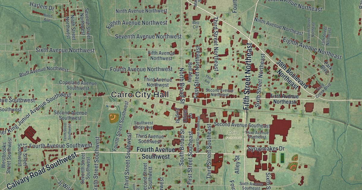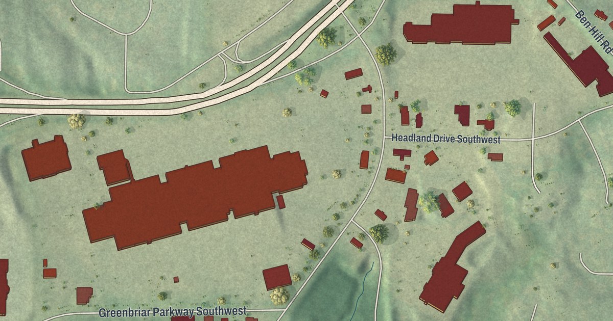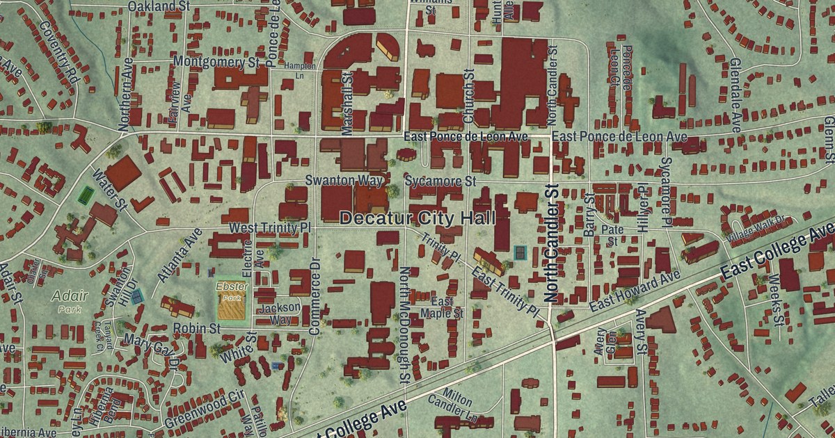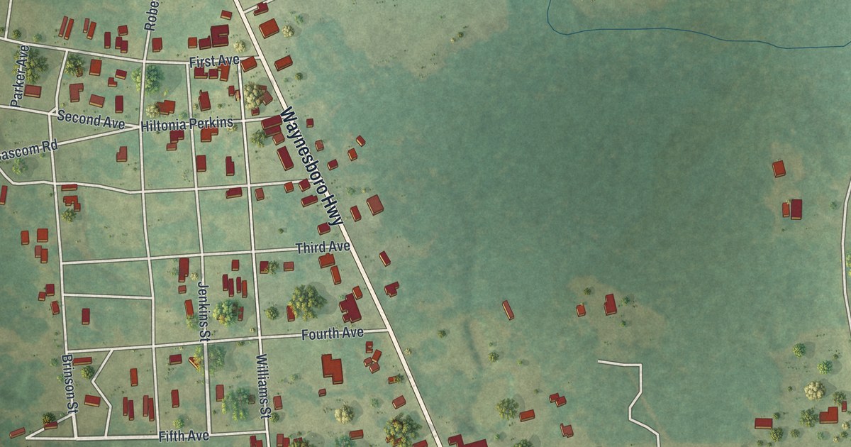
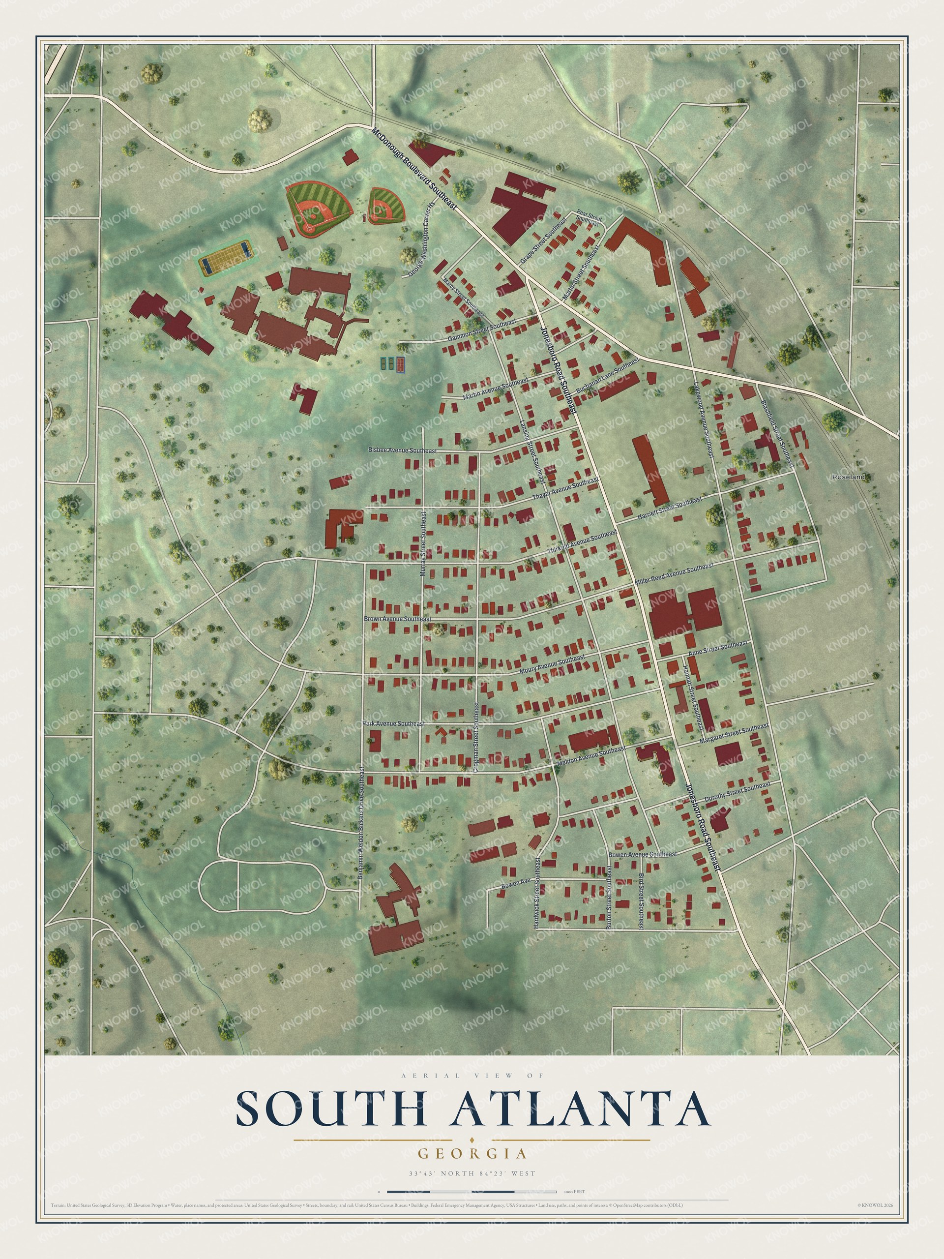
This beautifully detailed map of South Atlanta, Georgia was created in 2026 using aerial imagery combined with modern topographical, census, street and landmark data. It’s a one-of-a-kind view of South Atlanta that combines accurate data with a vintage aesthetic. The map shows every building in its true location, many of the roads carry their names, and the shaded topographic relief shows the shape of the land.
Explore an aerial view of South Atlanta, Georgia
On the map you’ll find Roseland, along with Jonesboro Road, McDonough Boulevard, Lansing Street, Lakewood Avenue, Murray Street, and more. If you look closely you can even find your house accurately drawn in its correct location. Zoom in on the preview to look for yours.
Did You Know?
South Atlanta was first known as Brownsville. Clark University moved here in 1883, and Gammon Theological Seminary opened the same year. Nearly every family owned its home, and neighbors paid for their own schoolhouse. Brownsville became a leading Black community during segregation. Clark moved to its present campus near downtown in 1941.
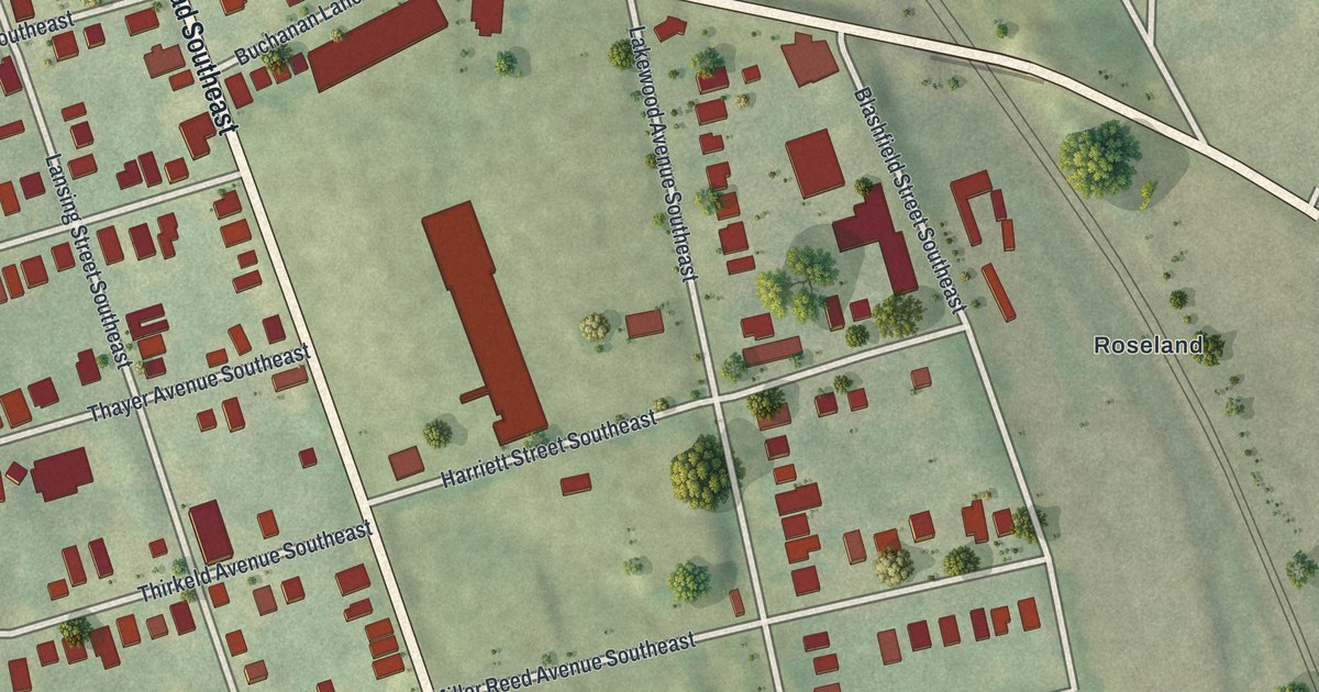
Take a closer look at the South Atlanta map
Names on this map
These names are printed on this map.
Places: Roseland.
Streets and roads: Jonesboro Road Southeast, McDonough Boulevard Southeast, Lansing Street Southeast, Lakewood Avenue Southeast, Murray Street Southeast, Crogman Street Southeast, Meldon Avenue Southeast, Park Avenue Southeast, Moury Avenue Southeast, Brown Avenue Southeast, Thirkeld Avenue Southeast, Thayer Avenue Southeast.
More street names, A to Z
Anne Street Southeast, Benjamin Weldon Bickers Drive Southeast, Bird Street Southeast, Bisbee Avenue Southeast, Blashfield Street Southeast, Bowen Avenue, Bowen Avenue Southeast, Buchanan Lane Southeast, Burton Street Southeast, Dorothy Street Southeast, Gammon Street Southeast, George Washington Carver Hs, Grape Street Southeast, Hannah Street Southeast, Hardwick Street Southeast, Harriett Street Southeast, Marcy Street Southeast, Margaret Street Southeast, Martin Avenue Southeast, Martin Street Southeast, Miller Reed Avenue Southeast, Pear Street Southeast.
See it on a wall
The South Atlanta map as a framed print. Swipe for more.


This beautifully detailed map of South Atlanta makes an attractive addition to your office, library, or den, and it can even be used to teach children the geography and history of the area. It also makes a great gift for anyone with South Atlanta roots. When you’re done exploring, click here to get your copy of the South Atlanta map.