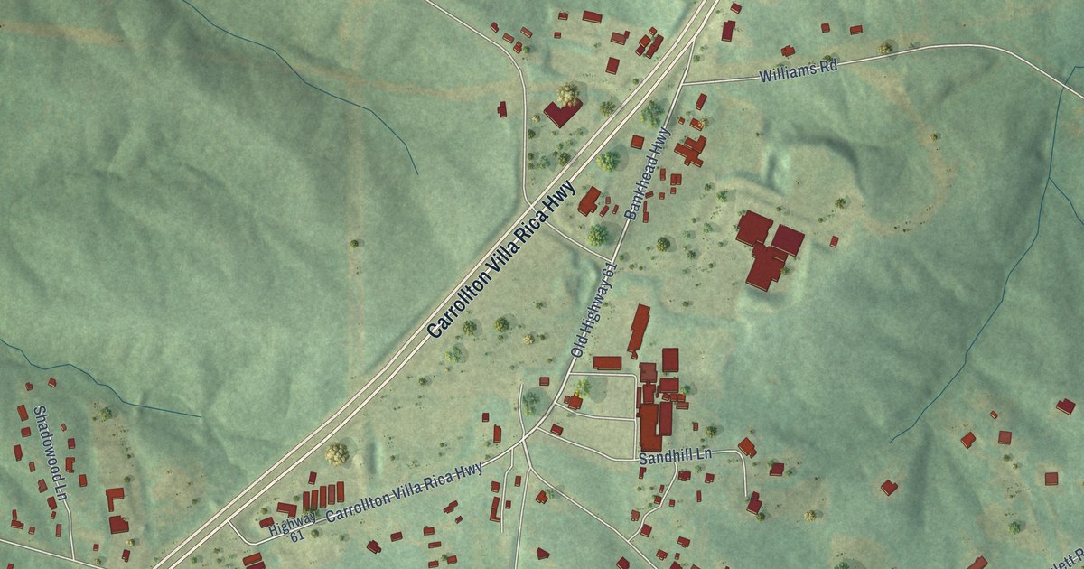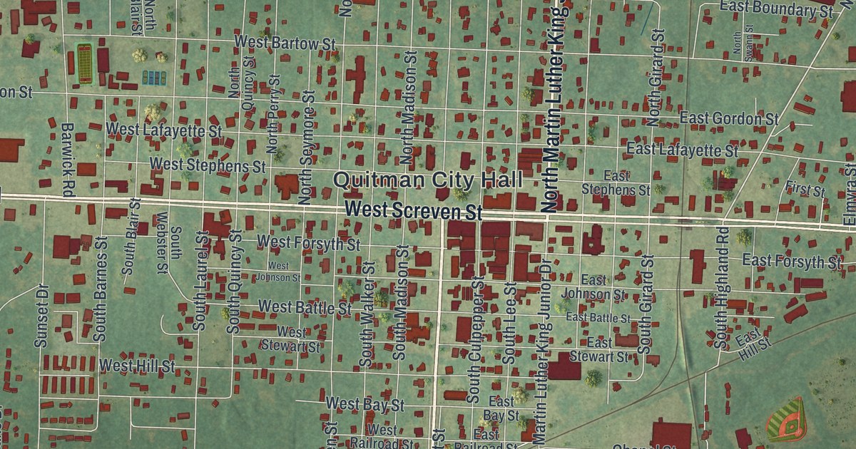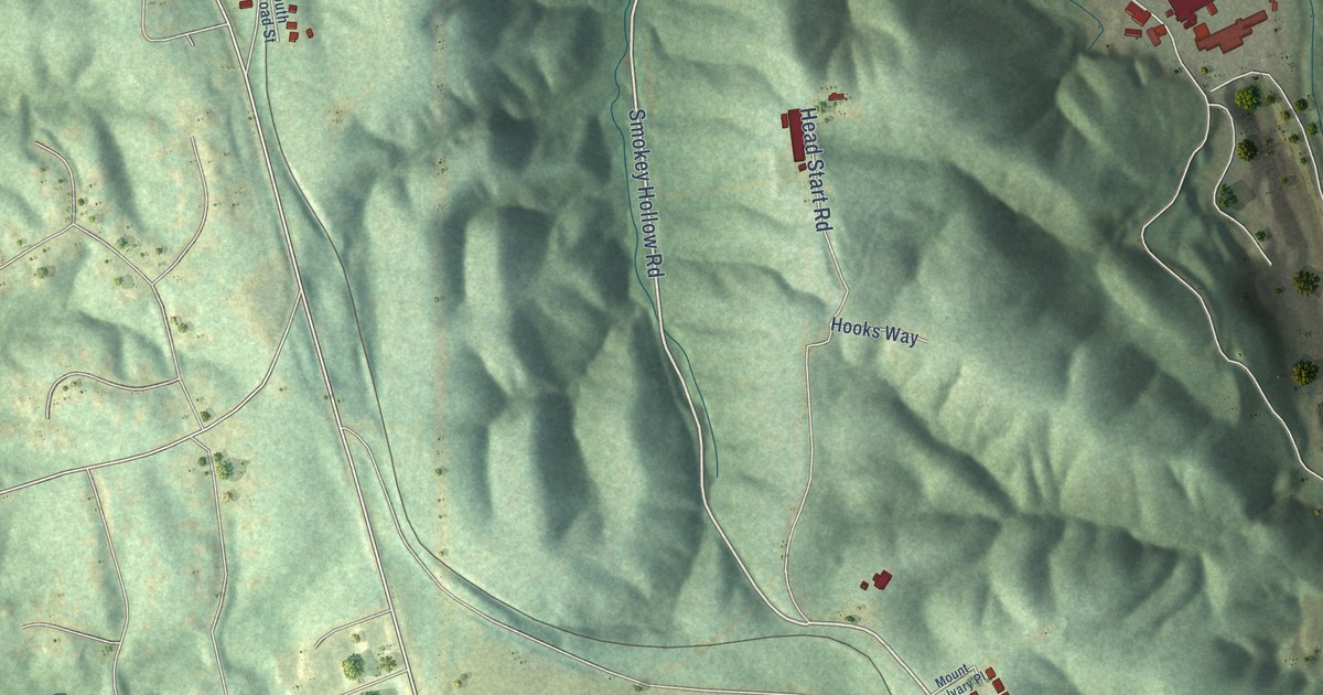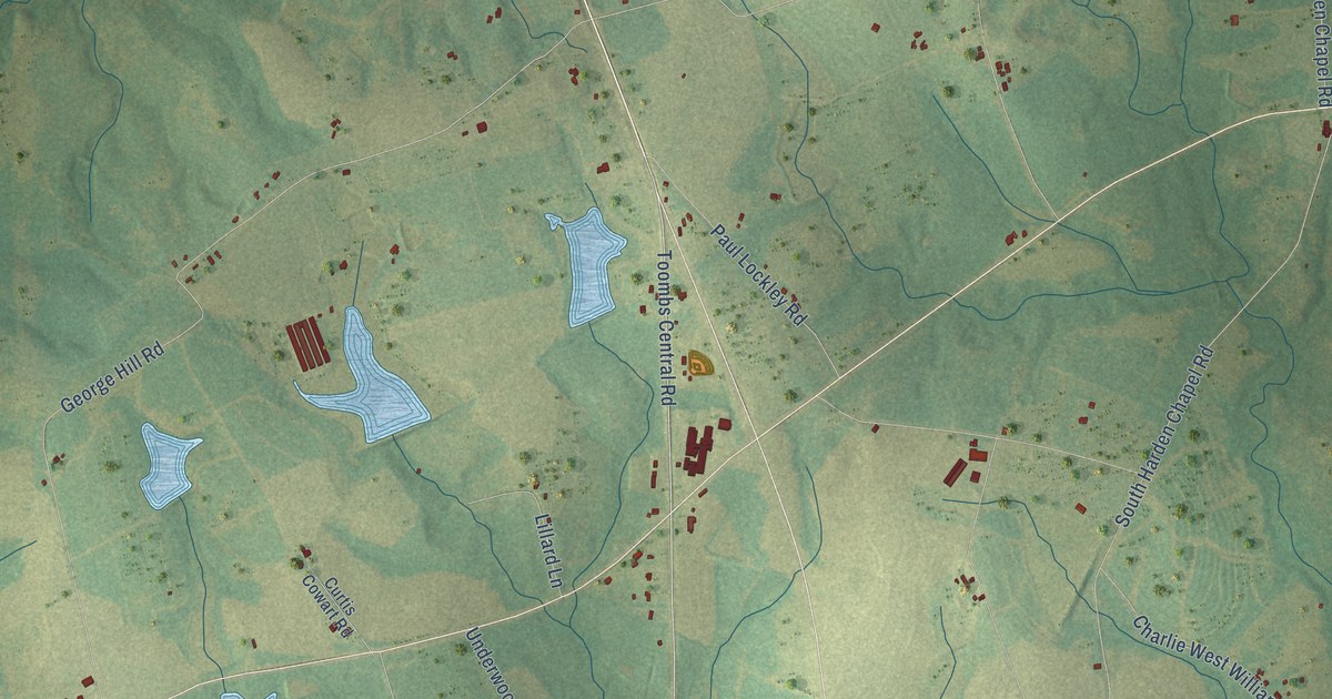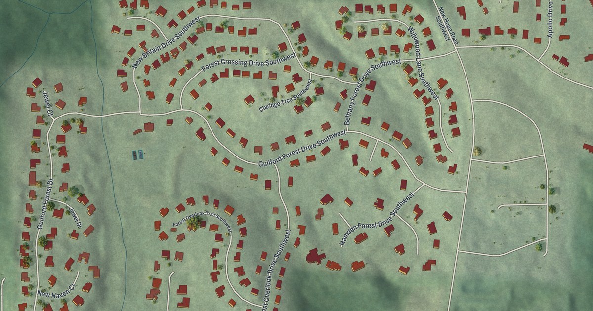
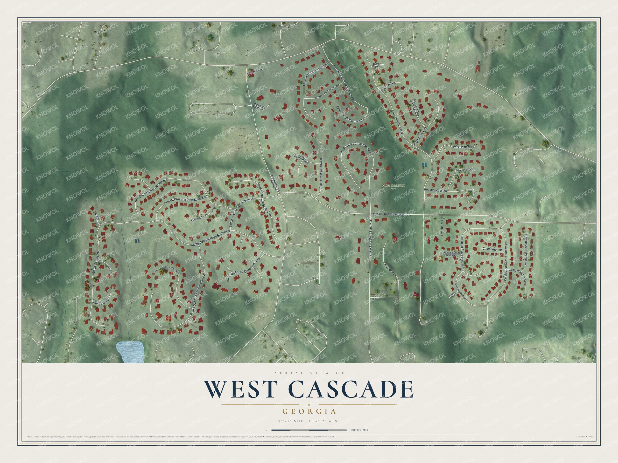
This beautifully detailed map of West Cascade, Georgia was created in 2026 using aerial imagery combined with modern topographical, census, street and landmark data. It’s a one-of-a-kind view of West Cascade that combines accurate data with a vintage aesthetic. The map shows every building in its true location, many of the roads carry their names, and the shaded topographic relief shows the shape of the land.
Explore an aerial view of West Cascade, Georgia
On the map you’ll find Guilford Forest Drive, Danforth Road, Regency Center Drive, Niskey Lake Circle, Forest Overlook Drive, and more. If you look closely you can even find your house accurately drawn in its correct location. Zoom in on the preview to look for yours.
Did You Know?
Also known as Midwest Cascade, this neighborhood sits at Atlanta’s far western edge. The City Council voted to annex it on September 29, 2006. From 2000 to 2010 its planning unit grew faster than any other in the city. Former mayor Keisha Lance Bottoms counts among its notable residents.
Take a closer look at the West Cascade map
Names on this map
These names are printed on this map.
Places: West Cascade Park and Elysian Park.
Streets and roads: Guilford Forest Drive Southwest, Danforth Road Southwest, Regency Center Drive, Niskey Lake Circle Southwest, Forest Overlook Drive Southwest, New Britain Drive Southwest, Reunion Place Southwest, Guilford Forest Drive, Willowood Lane Southwest, Niskey Lake Road Southwest, Celebration Drive Southwest, Fern Brooks Drive Southwest.
More street names, A to Z
Apollo Drive Southwest, Bethany Forest Drive Southwest, Boise Trail Southwest, Cascade Knolls Drive Southwest, Cascade Point, Cascade Pointe Drive, Celebration Court, Claridge Trce Southwest, East Court Drive Southwest, Forest Crossing Drive Southwest, Forest Overlook Trail Southwest, Gathering Park Drive, Glenhurst Lane, Green Cup Lane Southwest, Hamden Forest Drive Southwest, Inspiration Way, Jewel Court, Jewel Drive, Legacy Place Southwest, Legend Court Southwest, New Haven Court, New Hope Road Southwest, Park Center Drive, Regency Crest Court, Regency Crest Drive, Regency Park Drive, Rehoboth Circle, Reunion Court Southwest, Straton Trce, Twin Tendrils Southwest.
See it on a wall
The West Cascade map as a framed print. Swipe for more.


This beautifully detailed map of West Cascade makes an attractive addition to your office, library, or den, and it can even be used to teach children the geography and history of the area. It also makes a great gift for anyone with West Cascade roots. When you’re done exploring, click here to get your copy of the West Cascade map.