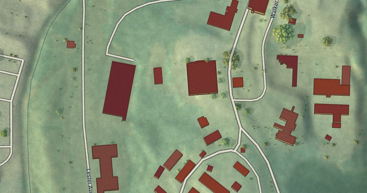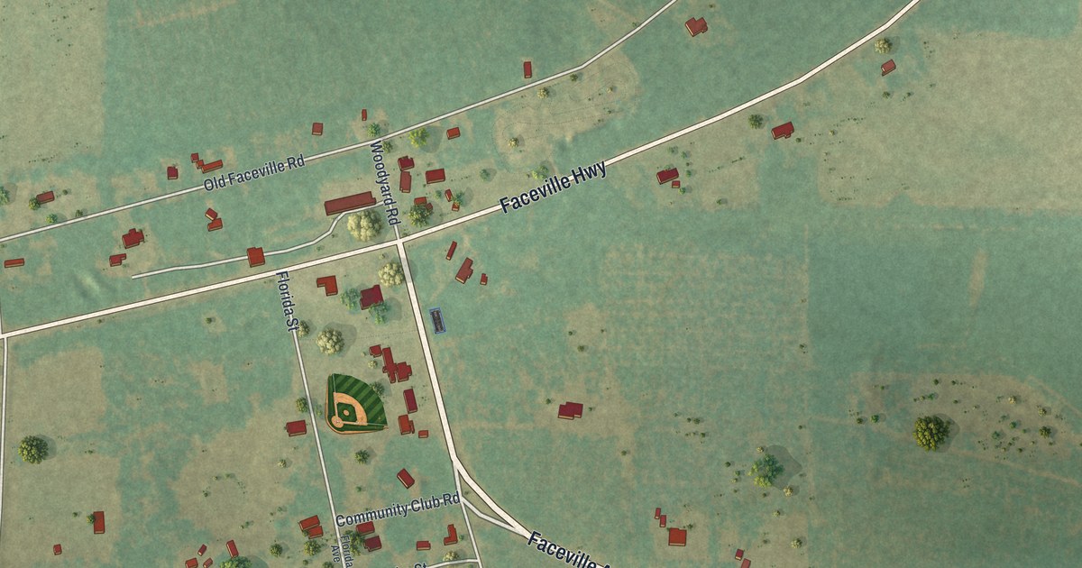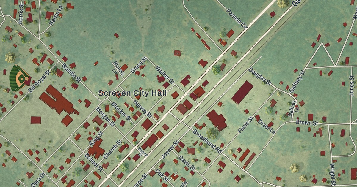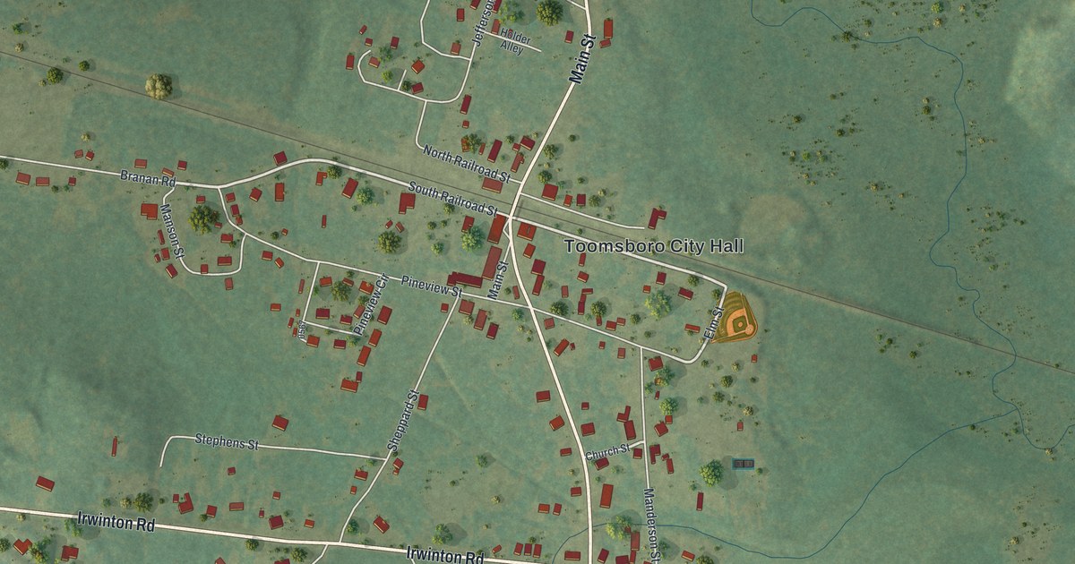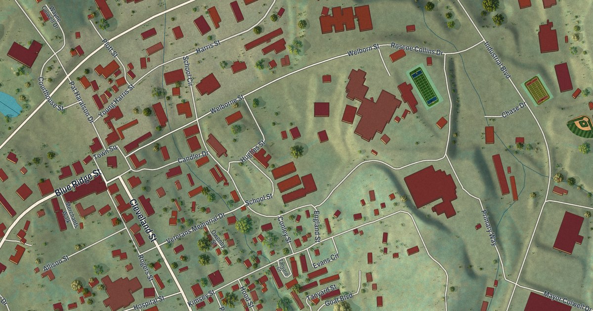
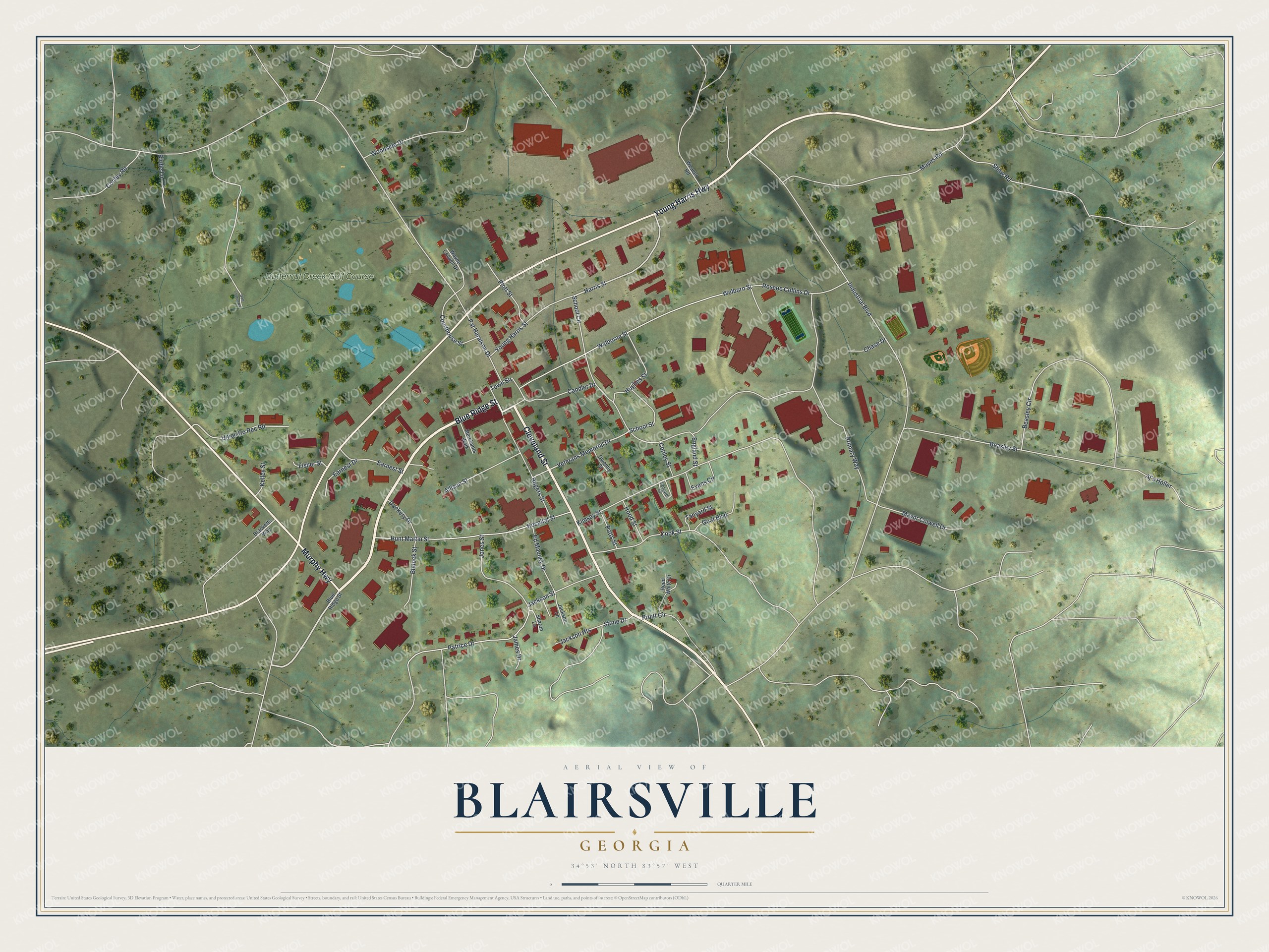
This beautifully detailed map of Blairsville, Georgia was created in 2026 using aerial imagery combined with modern topographical, census, street and landmark data. It’s a one-of-a-kind view of Blairsville that combines accurate data with a vintage aesthetic. The map shows every building in its true location, many of the roads carry their names, and the shaded topographic relief shows the shape of the land.
Explore an aerial view of Blairsville, Georgia
On the map you’ll find Blue Ridge Street, Cleveland Street, Young Harris Highway, Murphy Highway, Harris Street, and more. If you look closely you can even find your house accurately drawn in its correct location. Zoom in on the preview to look for yours.
Did You Know?
Blairsville became the Union County seat in 1835. It was named for James Blair, a veteran of the Revolutionary War. The local mines were known for the purest gold in the north Georgia mountains. Assayers in Washington could pick out ore from the Coosa Mines by its brilliant yellow color.
Take a closer look at the Blairsville map
Names on this map
These names are printed on this map.
Places: Butternut Creek Golf Course.
Streets and roads: Blue Ridge Street, Cleveland Street, Young Harris Highway, Murphy Highway, Harris Street, Veterans Memorial Drive, Pat Haralson Drive, School Circle, Industrial Boulevard, Welborn Street, Welborne Street, Jones Street.
More street names, A to Z
Aj's Holler, Allison Street, Beasley Circle, Beasley Street, Birdie Lane, Blalock Street, Bracketts Way, Candler Drive, Chase Drive, Conley Road, Conley Street, Cook Street, Courthouse Street, Dockery Drive, Earnest Drive, Earnest Street, Ed Mauney Drive, England Street, Evans Circle, Fisher Street, Goat Boulevard, Golf Course Road, Hood Street, Hospital Street, Hughes Street, Hunt Martin Street, Jackson Heights, Jackson Lane, Jackson Street, James Drive, Kelley Street, Kimsey Street, Mayes Road, Mayor Colwell Drive, Merchants Walk, Owenby Street, Patrice Drive, Plott Street, Potts Street, Primary Way, Pruitt Circle, Reed White Drive, Rogers Street, Roscoe Collins Drive, School Street, Sharon Lane, Shaw Road, Stone Drive, Tanyard Court, Tanyard Street, Town Square, Union Co Rec Road, Wayne Colwell Drive, Weaver Road, Woodside Drive, Young Harris Street.
See it on a wall
The Blairsville map as a framed print. Swipe for more.


This beautifully detailed map of Blairsville makes an attractive addition to your office, library, or den, and it can even be used to teach children the geography and history of the area. It also makes a great gift for someone who left Blairsville and still calls it home. When you’re done exploring, click here to get your copy of the Blairsville map.