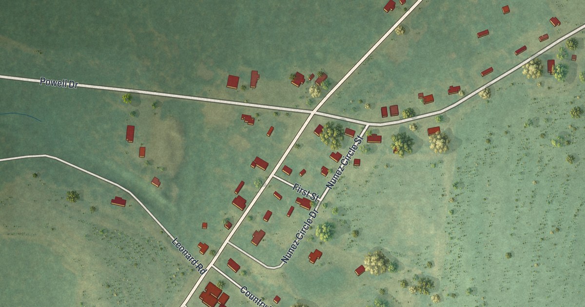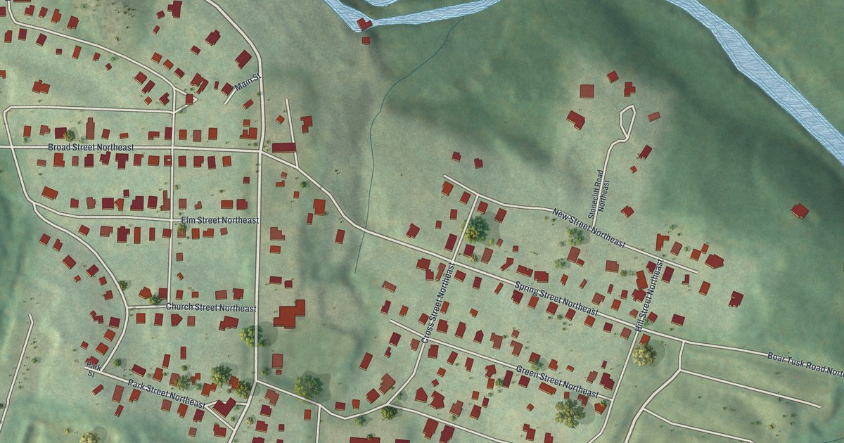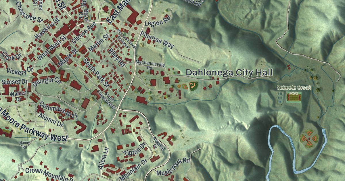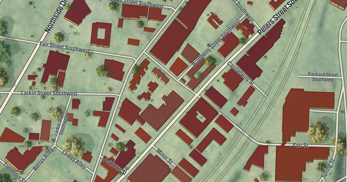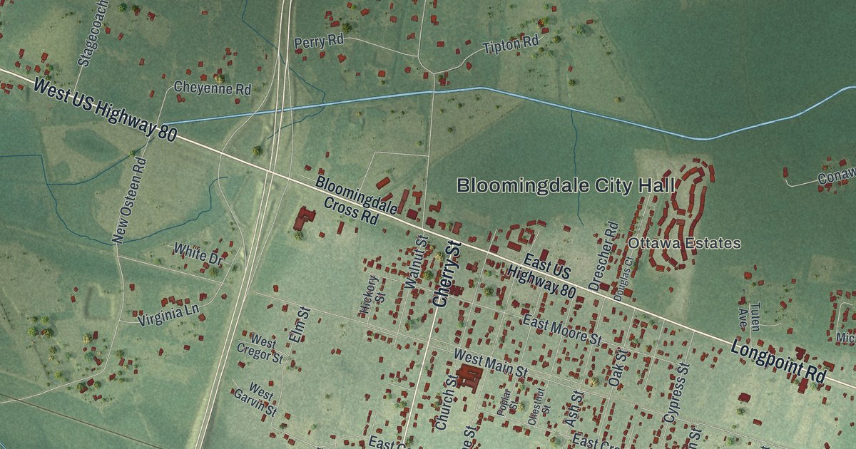
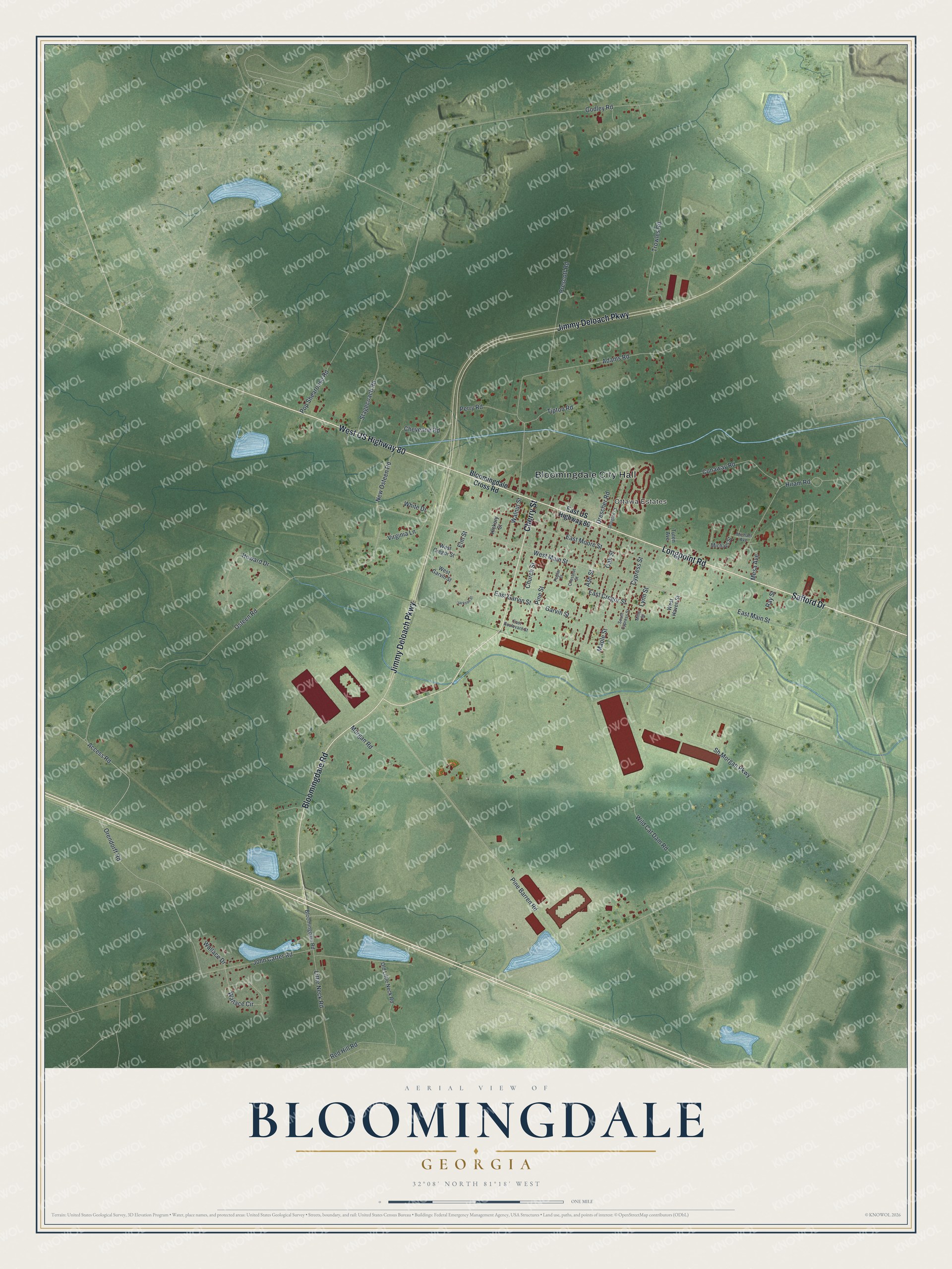
This beautifully detailed map of Bloomingdale, Georgia was created in 2026 using aerial imagery combined with modern topographical, census, street and landmark data. It’s a one-of-a-kind view of Bloomingdale that combines accurate data with a vintage aesthetic. The map shows every building in its true location, many of the roads carry their names, and the shaded topographic relief shows the shape of the land.
Explore an aerial view of Bloomingdale, Georgia
On the map you’ll find Bloomingdale City Hall, along with Safford Drive, Bloomingdale Road, Cherry Street, Jimmy Deloach Parkway, and more. If you look closely you can even find your house accurately drawn in its correct location. Zoom in on the preview to look for yours.
Did You Know?
Around 1900, many farmers around Bloomingdale on the Central Railway gave up cotton for truck crops. L. C. Oliver of Bloomingdale grew 60 barrels of Irish potatoes on a single acre. They sold for 4 dollars a barrel, and he cleared 140 dollars on that acre. That’s from the 1901 Georgia Historical and Industrial.
Take a closer look at the Bloomingdale map
Names on this map
These names are printed on this map.
Places: Bloomingdale City Hall and Ottawa Estates.
Streets and roads: West US Highway 80, Safford Drive, Bloomingdale Road, Cherry Street, Jimmy Deloach Parkway, Longpoint Road, Pine Barren Road, Cypress Street, Hiram Road, East Garvin Street, Osteen Road, Wild Cat Dam Road.
More street names, A to Z
Access Road, Adams Road, Ash Street, Bloomingdale Cross Road, Chestnut Street, Cheyenne Road, Church Street, Conaway Road, Douglas Court, Drescher Road, East Boulevard Street, East Cregor Street, East Main Street, East Moore Street, East US Highway 80, Elm Street, Garvin Street, Godley Road, Hickory Street, Howard Drive, Jackson Street, John Carter Road, Little Neck Road, Lynn Street, Maple Street, Mesa Avenue, Michael Avenue, Michael Street, Miller Street, Morgan Road, New Osteen Road, Oak Street, Old Little Neck Road, Orendorff Road, Perry Road, Pine Street, Poplar Street, Pop Shearouse Road, Prescott Road, Ray Street, Red Hill Road, Sh Morgan Parkway, South Cypress Street, Stagecoach Road, Tipton Road, Trowles Road, Tuten Avenue, Virginia Lane, Wallace Circle, Wallace Drive, Walnut Street, West Cregor Street, West Garvin Street, West Haven Street, West Main Street, White Drive.
See it on a wall
The Bloomingdale map as a framed print. Swipe for more.


This beautifully detailed map of Bloomingdale makes an attractive addition to your office, library, or den, and it can even be used to teach children the geography and history of the area. It also makes a great gift for anyone with Bloomingdale roots. When you’re done exploring, click here to get your copy of the Bloomingdale map.