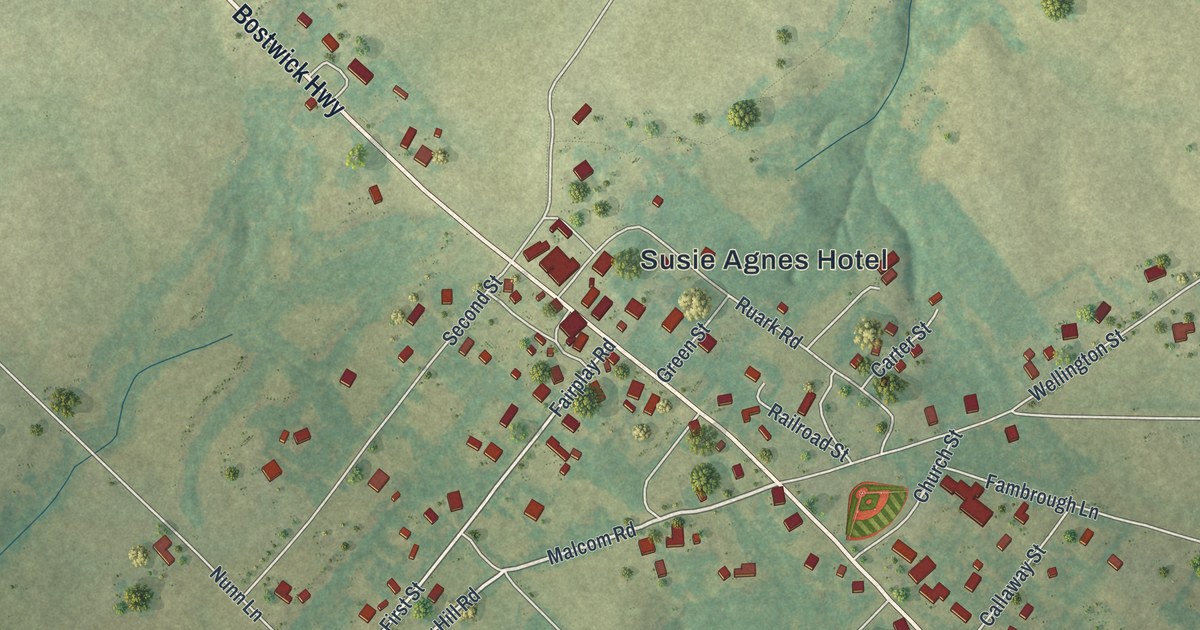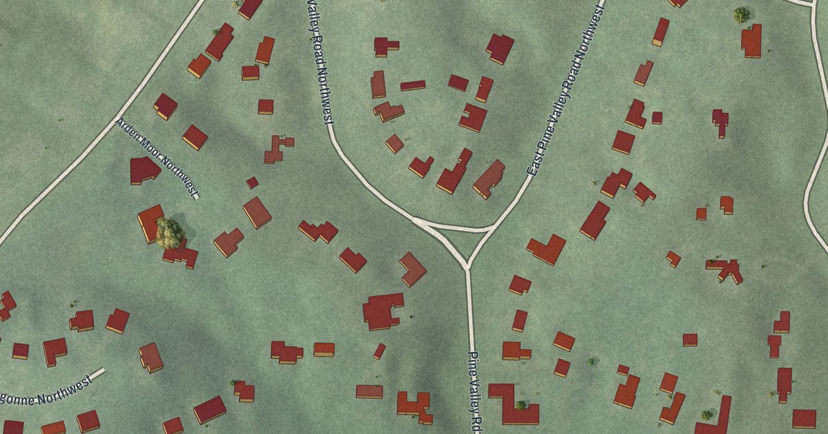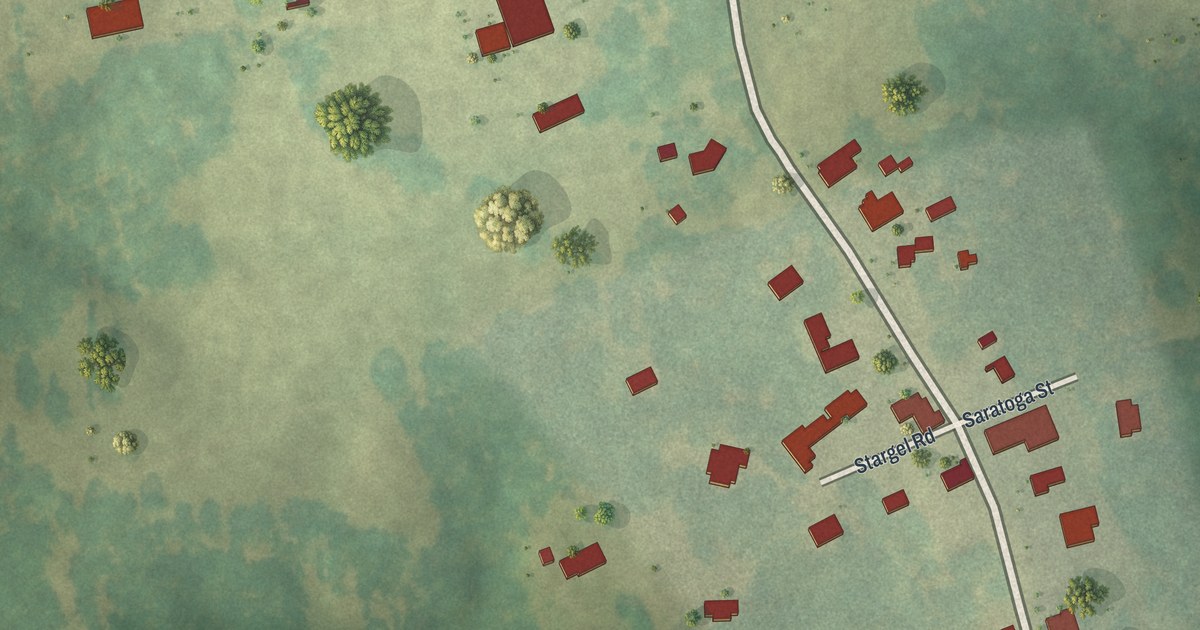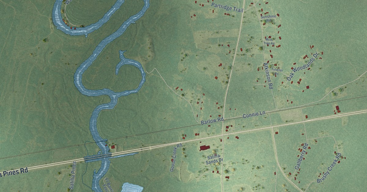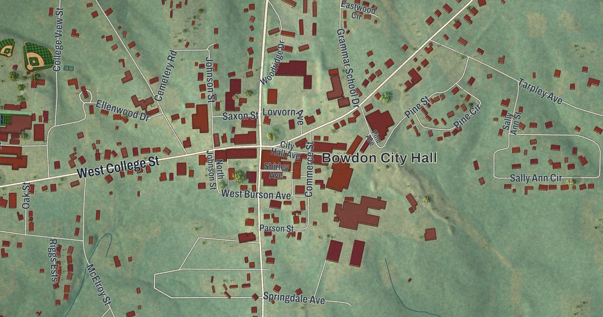
This beautifully detailed map of Bowdon, Georgia was created in 2026 using aerial imagery combined with modern topographical, census, street and landmark data. It’s a one-of-a-kind view of Bowdon that combines accurate data with a vintage aesthetic. The map shows every building in its true location, many of the roads carry their names, and the shaded topographic relief shows the shape of the land.
Explore an aerial view of Bowdon, Georgia
On the map you’ll find Bowdon City Hall and Cedar Valley, along with Carroll Street, College Street, Wedowee Street, Red Barn Road, and more. If you look closely you can even find your house accurately drawn in its correct location. Zoom in on the preview to look for yours.
Did You Know?
When a new railroad was built, its nearest station was eighteen miles from Bowdon. The townspeople had agreed to help pay for it, and they paid anyway. Then they solved the problem themselves. Doctors J. L. and R. M. Lovvorn and J. W. Barrow led the work and backed it with their own money. That’s from the 1913 Atlanta Journal.
Take a closer look at the Bowdon map
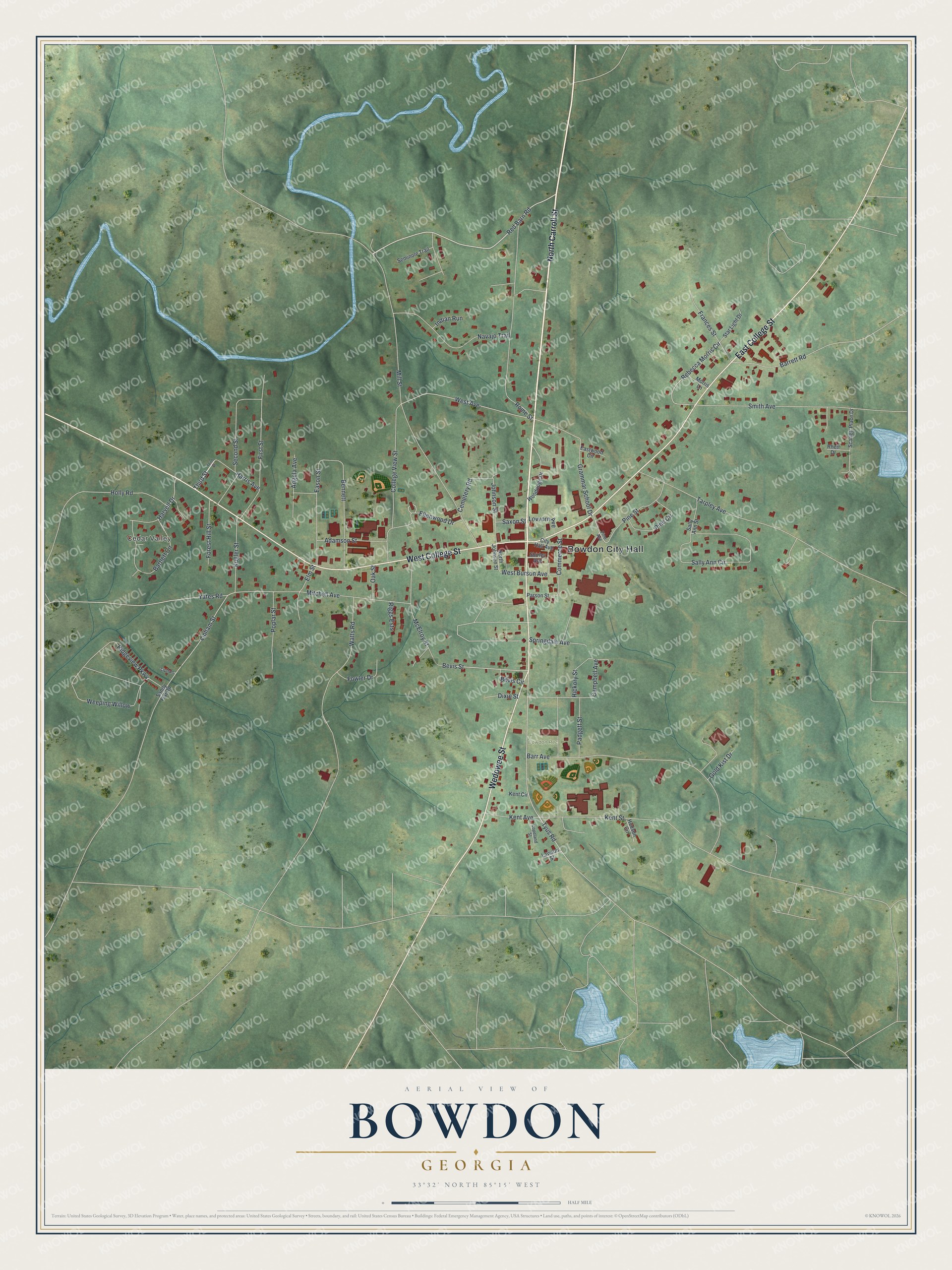
Names on this map
These names are printed on this map.
Places: Bowdon City Hall, Cedar Valley and Bowdon Rec.
Streets and roads: North Carroll Street, East College Street, West College Street, Wedowee Street, Red Barn Road, Tyus Road, Weeping Willow, Lipham Street, Bevis Street, West Avenue, Ellenwood Drive, Rebecca Morris Circle.
More street names, A to Z
Adamson Street, Angela Avenue, Barr Avenue, Barrett Road, Bartlett Circle, Bennett, Bevis Circle, Campbell Avenue, Cemetery Road, City Hall Avenue, College View Street, Commerce Street, Copeland Street, Dixie Street, Eason Street, Eastwood Circle, Elm Street, First Street, Forest Hill Street, Fowler Drive, Frances Street, Gold Kist Drive, Grammar School Drive, Harris Avenue, Harvell Drive, Hickory Street, Holly Road, Hudson Circle, Indian Run, Johnson Street, Kent Avenue, Kent Circle, Kent Street, Kugler Street, Lawson Street, Lipham, Lovvorn Avenue, McElroy Street, Mill Street, Mitchell Avenue, Morris Lane, Navajo Trail, North Johnson Street, Oak Street, Padgett Street, Parson Street, Pine Avenue, Pine Circle, Pine Street, Poplar Street, Rhett Drive, Ridgeview Parkway, Riggs Ests, Rome Street, Sally Ann Circle, Sally Ann Street, Sandy Flat Road, Saxon Street, Scarlett Place Drive, Second Street, Seminole Trail, Shirley Avenue, Smith Avenue, Springdale Avenue, Star Light Drive, Tarpley Avenue, Third Street, Watts Road, West Burson Avenue, Woodridge Drive, Yates Road.
See it on a wall
The Bowdon map as a framed print. Swipe for more.


This beautifully detailed map of Bowdon makes an attractive addition to your office, library, or den, and it can even be used to teach children the geography and history of the area. It also makes a great gift for anyone with Bowdon roots. When you’re done exploring, click here to get your copy of the Bowdon map.