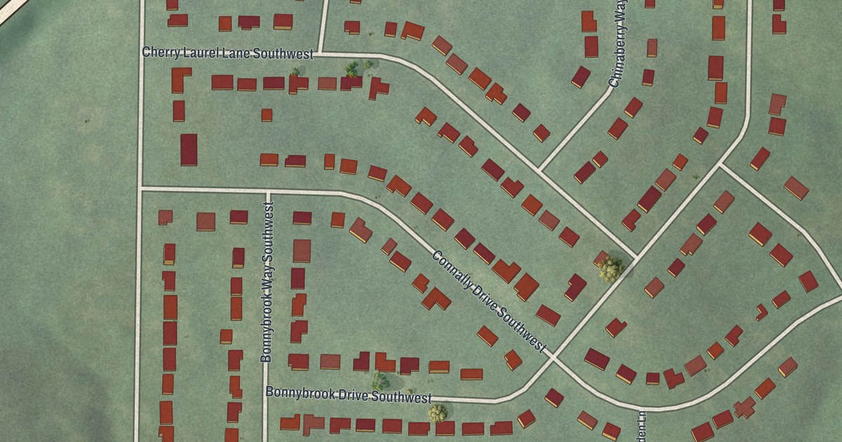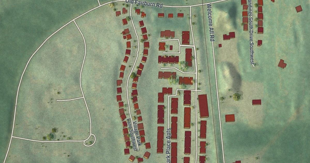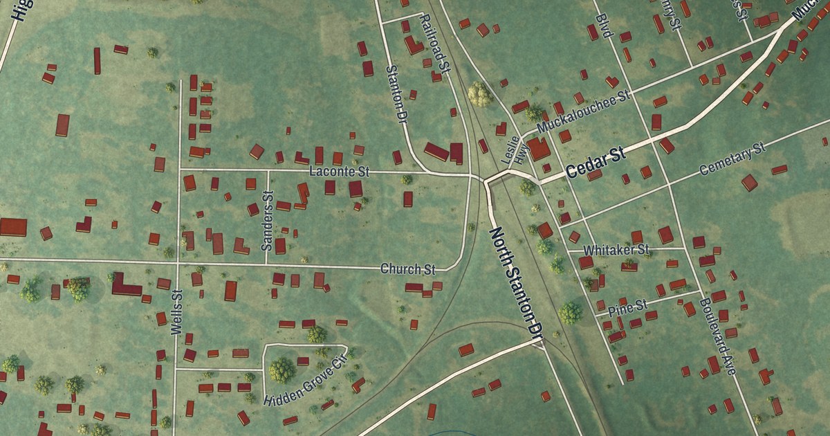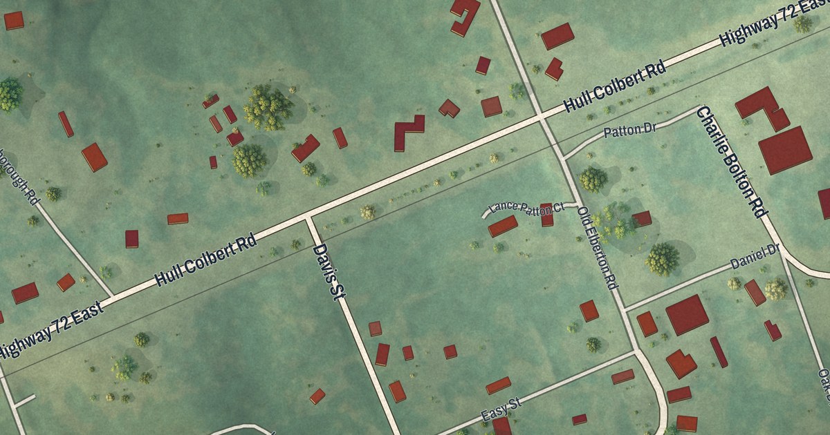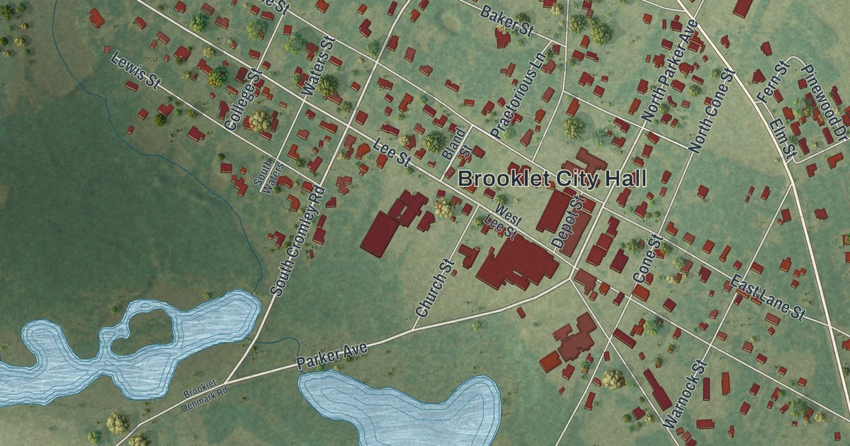
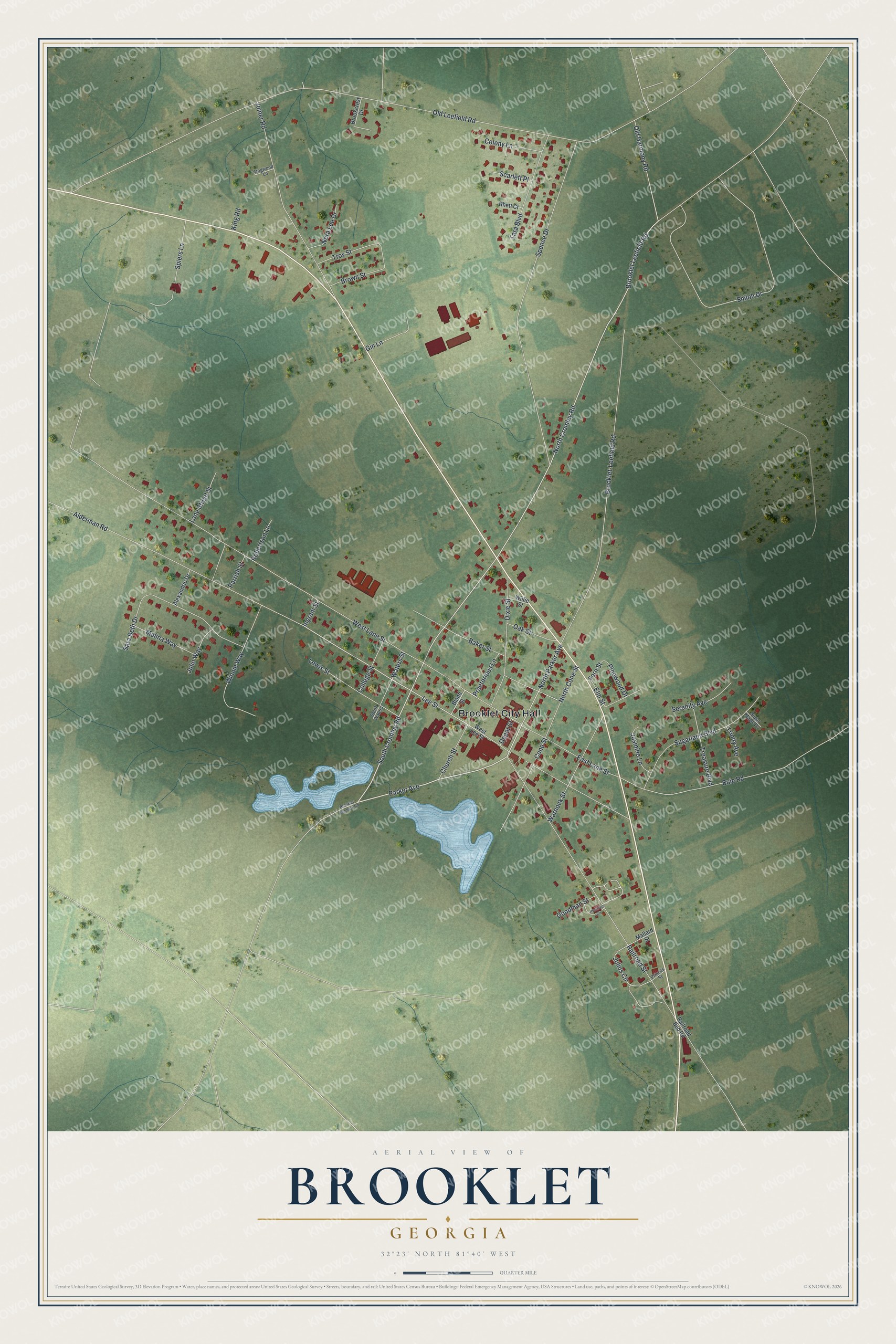
This beautifully detailed map of Brooklet, Georgia was created in 2026 using aerial imagery combined with modern topographical, census, street and landmark data. It’s a one-of-a-kind view of Brooklet that combines accurate data with a vintage aesthetic. The map shows every building in its true location, many of the roads carry their names, and the shaded topographic relief shows the shape of the land.
Explore an aerial view of Brooklet, Georgia
On the map you’ll find Brooklet City Hall, along with Cromley Road, Parker Avenue, Lee Street, Julius Circle, and more. If you look closely you can even find your house accurately drawn in its correct location. Zoom in on the preview to look for yours.
Take a closer look at the Brooklet map
Names on this map
These names are printed on this map.
Places: Brooklet City Hall.
Streets and roads: North Cromley Road, South Cromley Road, Parker Avenue, Lee Street, North Parker Avenue, Julius Circle, Old Leefield Road, West Lane Street, Brooklet-Leefield Road, Spence Drive, Railroad Street, Alderman Road.
More street names, A to Z
Alexandrio Drive, Baker Street, Bland Street, Brookcrest Drive, Brooklet Denmark Road, Brooklet Leefield Road, Brown Street, Buie Road, Church Street, College Street, Colony Lane, Cone Street, Depot Street, Dixie Street, Dogwood Lane, East Lane Street, Elm Street, Fern Street, Gin Lane, Goodman Street, Ingram Street, Jasmine Lane, Joiner Road, Julio Way, King Road, Lane Street Street, Lewis Street, Malina Way, Mallard Street, Nora Lee Drive, North Cone Street, Oak Street, Old Harmony Road, Parrish Street, Pinewood Drive, Praetorious Lane, Precious Circle, Princes Street, Railroad Bed Road, Rhett Court, Robertson Lane, Sara Beth Drive, Scarlett Place, Serenity Avenue, Shiloh Drive, South Waters, Spiers Lane, Sugarland Boulevard, Sugar Maple Drive, Tara Boulevard, Treasure Boulevard, Trinity Avenue, Troy Street, Warnock Street, Waters Street, West Lee Street, Willie Street, Winnie Way.
See it on a wall
The Brooklet map as a framed print. Swipe for more.


This beautifully detailed map of Brooklet makes an attractive addition to your office, library, or den, and it can even be used to teach children the geography and history of the area. It also makes a great gift for someone who left Brooklet and still calls it home. When you’re done exploring, click here to get your copy of the Brooklet map.