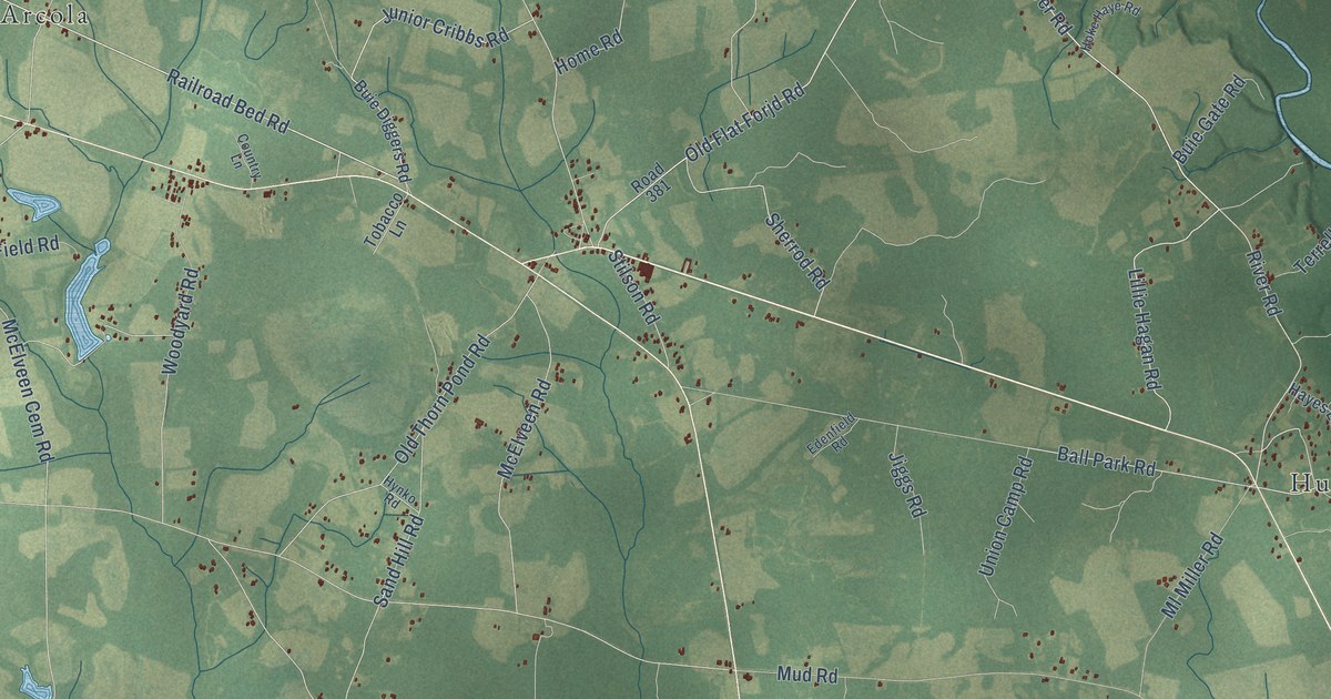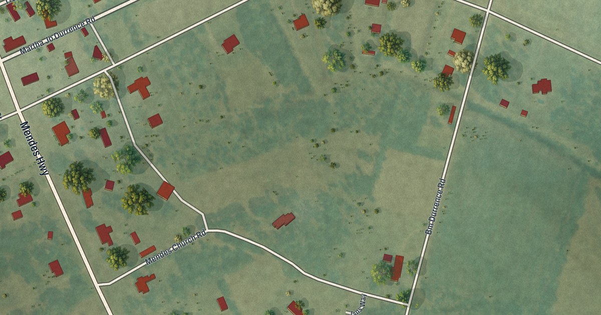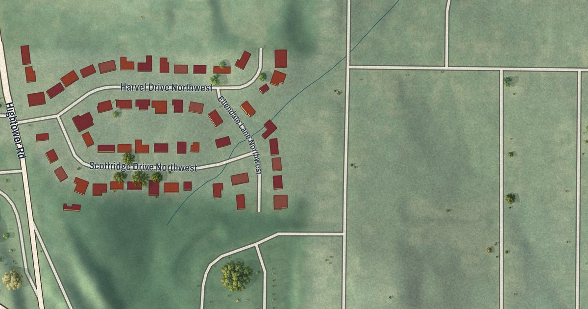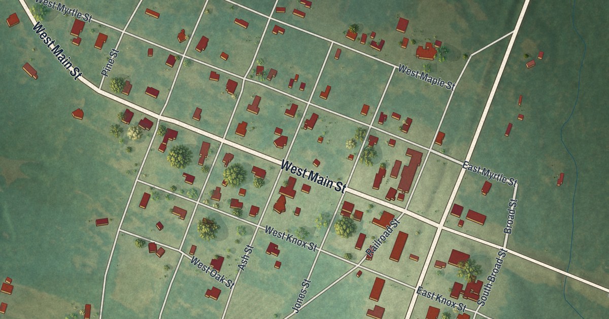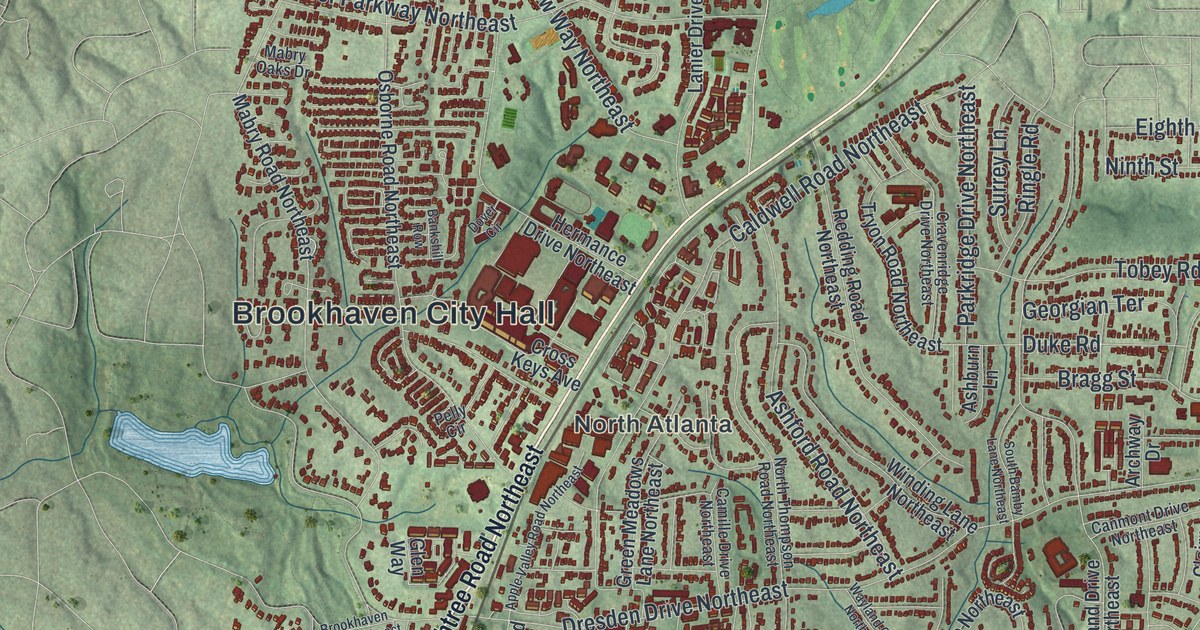
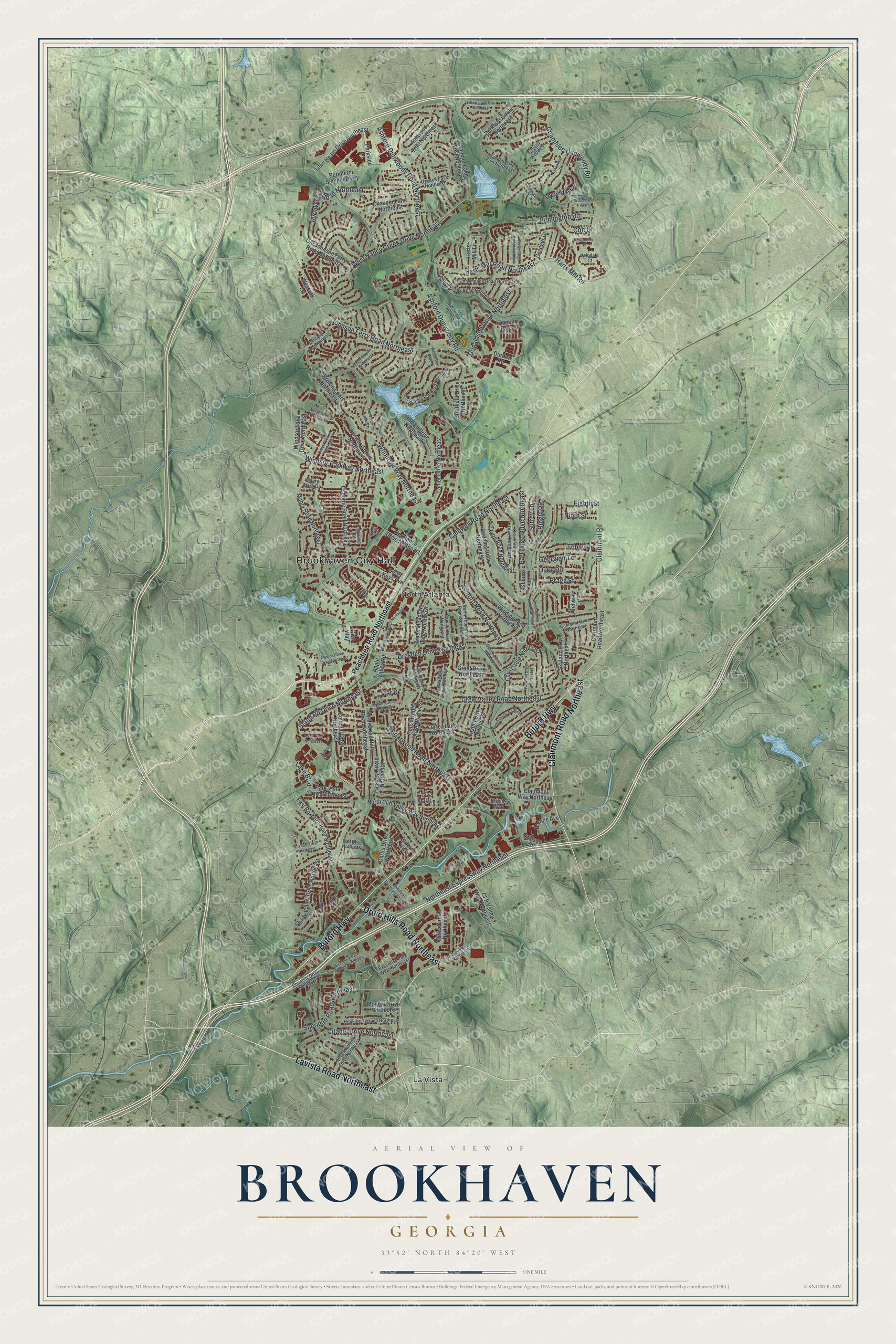
This beautifully detailed map of Brookhaven, Georgia was created in 2026 using aerial imagery combined with modern topographical, census, street and landmark data. It’s a one-of-a-kind view of Brookhaven that combines accurate data with a vintage aesthetic. The map shows every building in its true location, many of the roads carry their names, and the shaded topographic relief shows the shape of the land.
Explore an aerial view of Brookhaven, Georgia
On the map you’ll find Brookhaven City Hall, North Atlanta, and La Vista, along with Lavista Road, Buford Highway, Clairmont Road, Druid Hills Road, and more. If you look closely you can even find your house accurately drawn in its correct location. Zoom in on the preview to look for yours.
Did You Know?
Creek people lived here first. Around 1810, John Evins became the first permanent European settler when he started a plantation. Harris and Solomon Goodwin of South Carolina owned the land by the 1830s. Their home and family graveyard are still preserved, and a rail station called Goodwin’s was built in 1873.
Take a closer look at the Brookhaven map
Names on this map
These names are printed on this map.
Places: Brookhaven City Hall, North Atlanta and La Vista.
Streets and roads: Lavista Road Northeast, Buford Highway, Clairmont Road Northeast, Druid Hills Road Northeast, Ashford Dunwoody Road, Ashford Dunwoody Road Northeast, West Nancy Creek Drive Northeast, Johnson Ferry Road Northeast, Northeast Expressway Northeast, Drew Valley Road Northeast, Dresden Drive Northeast, Caldwell Road Northeast.
More street names, A to Z
Apple Valley Road, Apple Valley Road Northeast, Arbor Trce, Arbor Trce Northeast, Archway Drive, Ashburn Lane, Ashentree Drive, Ashford Road Northeast, Ashwoody Trail Northeast, Bankshill Row, Barone Avenue, Berkford Circle Northeast, Beverly Woods Court, Bonnington Court, Bragg Street, Brawley Circle Northeast, Breton Circle Northeast, Breton Court Northeast, Briarcliff Road Northeast, Briarwood Road Northeast, Brook Forest Drive Northeast, Brookhaven Drive Northeast, Bubbling Creek Road Northeast, Buckhead Lane, Burch Circle Northeast, Byrnwyck Road Northeast, Camille Drive Northeast, Candler Lake East Northeast, Candler Lake West Northeast, Canmont Drive Northeast, Cates Avenue Northeast, Chamblee Dunwoody Road, Chamdun Place, Chantilly Drive Northeast, Chaucer Lane Northeast, Citadel Drive Northeast, Clairmont Road, Clairmont Way Northeast, Cliff Valley Way Northeast, Colonial Drive Northeast, Colt Drive, Coosawattee Drive Northeast, Corporate Boulevard Northeast, Cortez Lane Northeast, Cove Circle Northeast, Cravenridge Drive Northeast, Cross Keys Avenue, Curtis Drive Northeast, Danbury Parc Place, Donaldson Drive Northeast, Dover Circle, Duke Road, Durden Road, Dyouville Lane, East Roxboro Road Northeast, Eighth Street, Ellijay Drive Northeast, Executive Park South Northeast, Executive Park West Northeast, Fairway Circle Northeast, Flowerland Drive Northeast, Gail Drive Northeast, Georgian Terrace, Glen Way, Granger Drive, Grant Drive Northeast, Green Meadows Lane Northeast, Hallcrest Drive Northeast, Harts Mill Lane, Harts Mill Road, Harts Mill Road Northeast, Hermance Drive Northeast, Hopkins Terrace Northeast, Inman Drive Northeast, Knoll Place, Lake Boulevard, Lake Hearn Drive Northeast, Lanier Drive Northeast, Live Oak Lane, Lynwood Drive Northeast, Mabry Oaks Drive, Mabry Road Northeast, Mayfair Drive Northeast, Mendell Circle Northeast, Mill Creek Road Northeast, Nesbitt Drive Northeast, Ninth Street, North Cliff Valley Way Northeast, North Druid Hills Road Northeast, North Thompson Road Northeast, Oconee Pass Northeast, Old Johnson Ferry Road Northeast, Oostanaula Drive Northeast, Osborne Road Northeast, Parkridge Drive Northeast, Parkside Place, Park Vista Drive Northeast, Peachtree Road Northeast, Pelly Circle, Perimeter Summit Parkway, Ragley Hall Road Northeast, Redding Road Northeast, Remington Road, Ringle Road, Roxboro Drive Northeast, Runnymeade Road Northeast, Saxon Circle, Shady Valley Drive Northeast, Sheridan Road Northeast, Skyland Drive Northeast, South Bamby Lane Northeast, Standard Drive Northeast, Star Drive, Stillson Street, Stratfield Drive Northeast, Surrey Lane, Sylvan Circle Northeast, Tobey Road, Trailview Way, Tryon Road Northeast, Tullie Circle Northeast, Waddeston Way, Wawona Drive Northeast, Wayland Circle Northeast, Wescott Lane, Winchester Trail, Winding Lane Northeast, Windsor Lake Drive Northeast, Windsor Parkway Northeast, Wise Way Northeast, Woodrow Way Northeast, Wyndale Court.
See it on a wall
The Brookhaven map as a framed print. Swipe for more.


This beautifully detailed map of Brookhaven makes an attractive addition to your office, library, or den, and it can even be used to teach children the geography and history of the area. It also makes a great gift for anyone who grew up in Brookhaven or moved away. When you’re done exploring, click here to get your copy of the Brookhaven map.