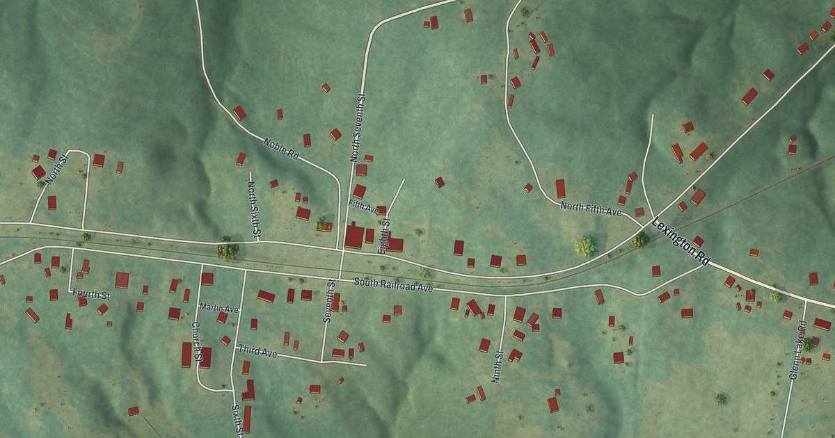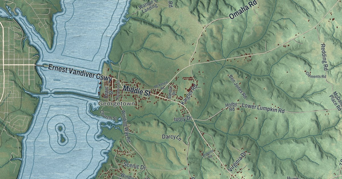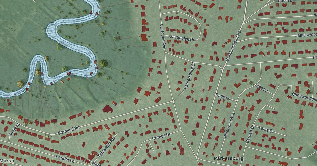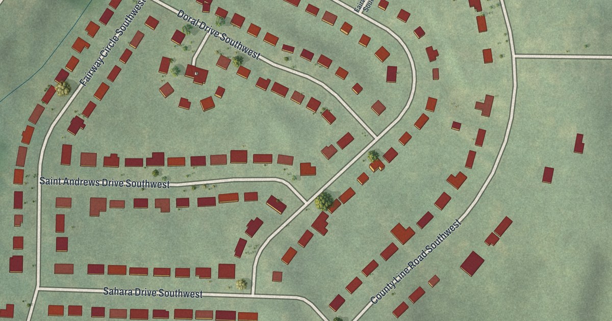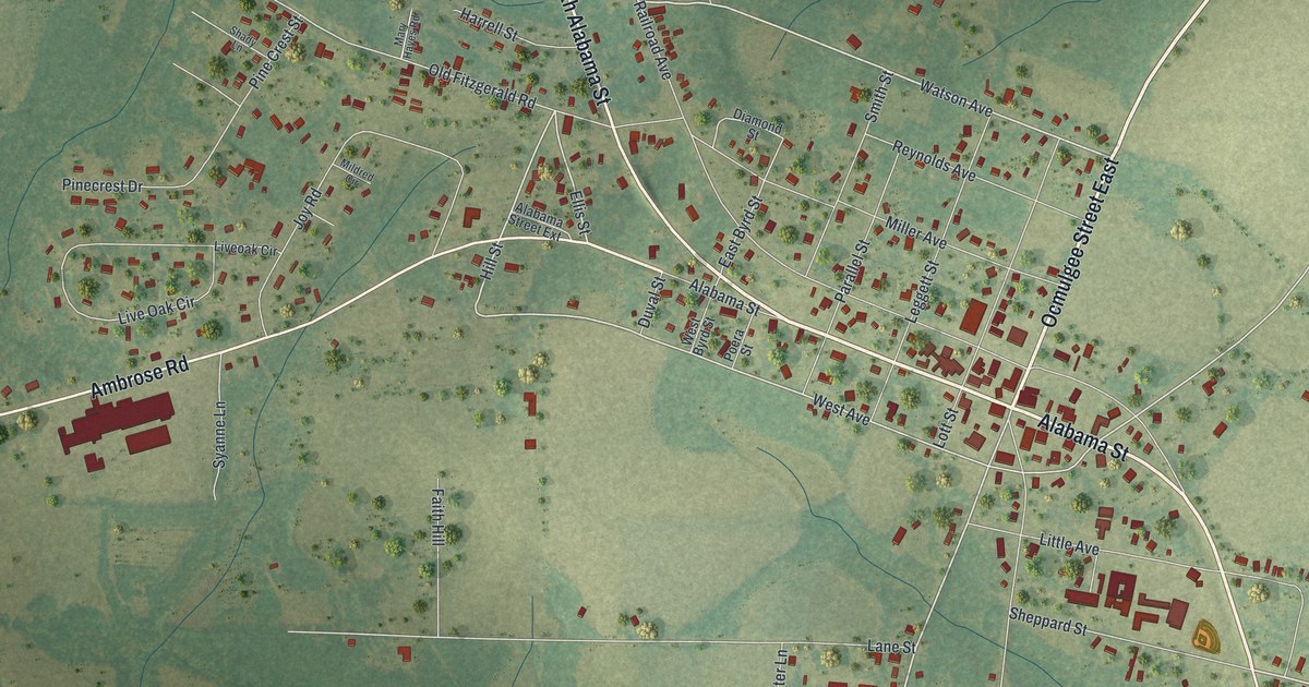
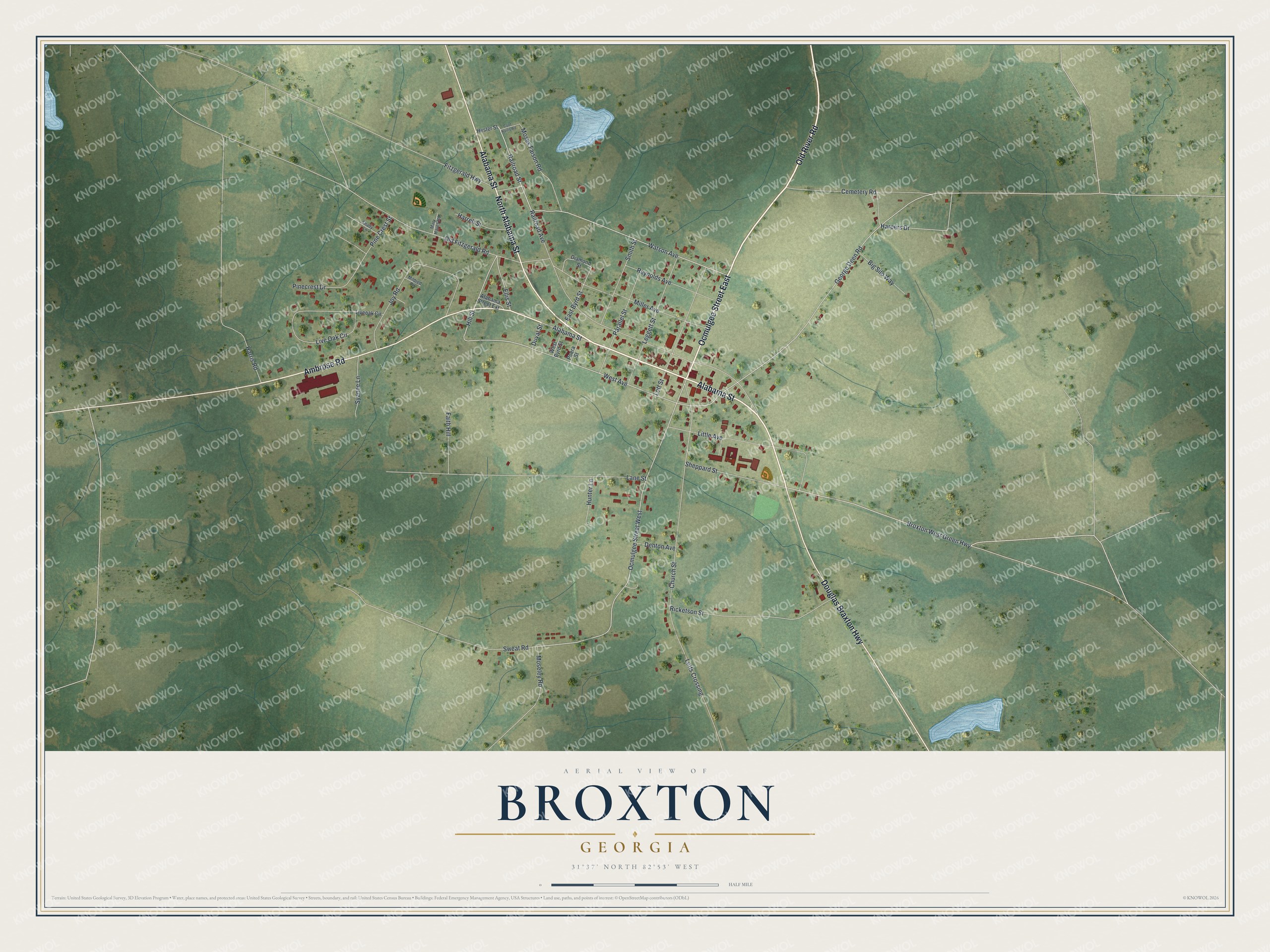
This beautifully detailed map of Broxton, Georgia was created in 2026 using aerial imagery combined with modern topographical, census, street and landmark data. It’s a one-of-a-kind view of Broxton that combines accurate data with a vintage aesthetic. The map shows every building in its true location, many of the roads carry their names, and the shaded topographic relief shows the shape of the land.
Explore an aerial view of Broxton, Georgia
On the map you’ll find Alabama Street, Old River Road, Ocmulgee Street, Ambrose Road, Douglas Braxton Highway, and more. If you look closely you can even find your house accurately drawn in its correct location. Zoom in on the preview to look for yours.
Did You Know?
This Coffee County town was first called Gully Branch. Its present name comes from Broxton Creek. When the Georgia General Assembly incorporated the town in 1904, it drew the town limits as a circle. That circle reached one mile out from the well in Jesse Lott’s front yard.
Take a closer look at the Broxton map
Names on this map
These names are printed on this map.
Streets and roads: Alabama Street, Old River Road, Ocmulgee Street East, North Alabama Street, Ambrose Road, Douglas Braxton Highway, Broxton West Green Highway, Watson Avenue, Ellis Street, Hill Street, Ocmulgee Street West, West Avenue.
More street names, A to Z
Alabama Street Extension, Big Silo Way, Cemetery Road, Church Street, Coot Harris Road, Denton Avenue, Diamond Street, Duval Street, East Byrd Street, Faith Hill, Fitzgerald Highway, George Deen Road, Harpers Drive, Harrell Street, Harris Road, Hester Street, Hunter Lane, Joy Road, Lane Street, Leggett Street, Little Avenue, Live Oak Circle, Liveoak Circle, Lotts Crossing, Lott Street, Mary Hayes Road, Mildred Circle, Miller Avenue, Moseley Road, Moses Faison Road, Old Fitzgerald Road, Parallel Street, Pinecrest Drive, Pine Crest Street, Poera Street, Railroad Avenue, Railroad Street, Reynolds Avenue, Ricketson Street, Shady Lane, Sheppard Street, Smith Street, Sweat Road, Syanne Lane, West Byrd Street.
See it on a wall
The Broxton map as a framed print. Swipe for more.


This beautifully detailed map of Broxton makes an attractive addition to your office, library, or den, and it can even be used to teach children the geography and history of the area. It also makes a great gift for someone who left Broxton and still calls it home. When you’re done exploring, click here to get your copy of the Broxton map.