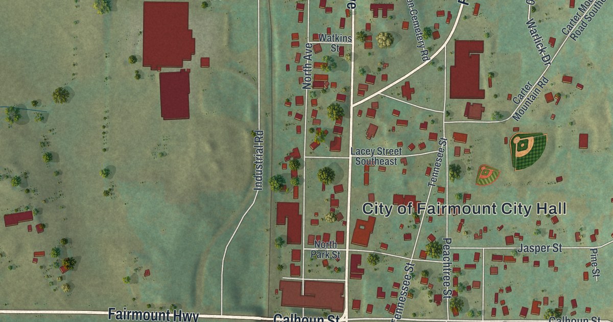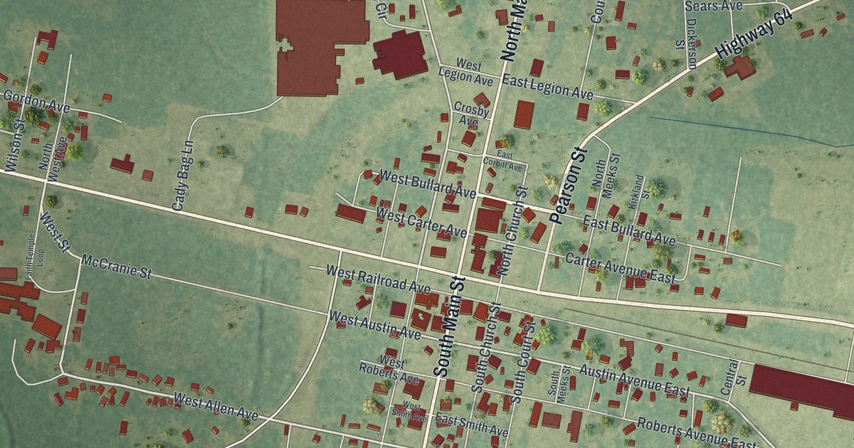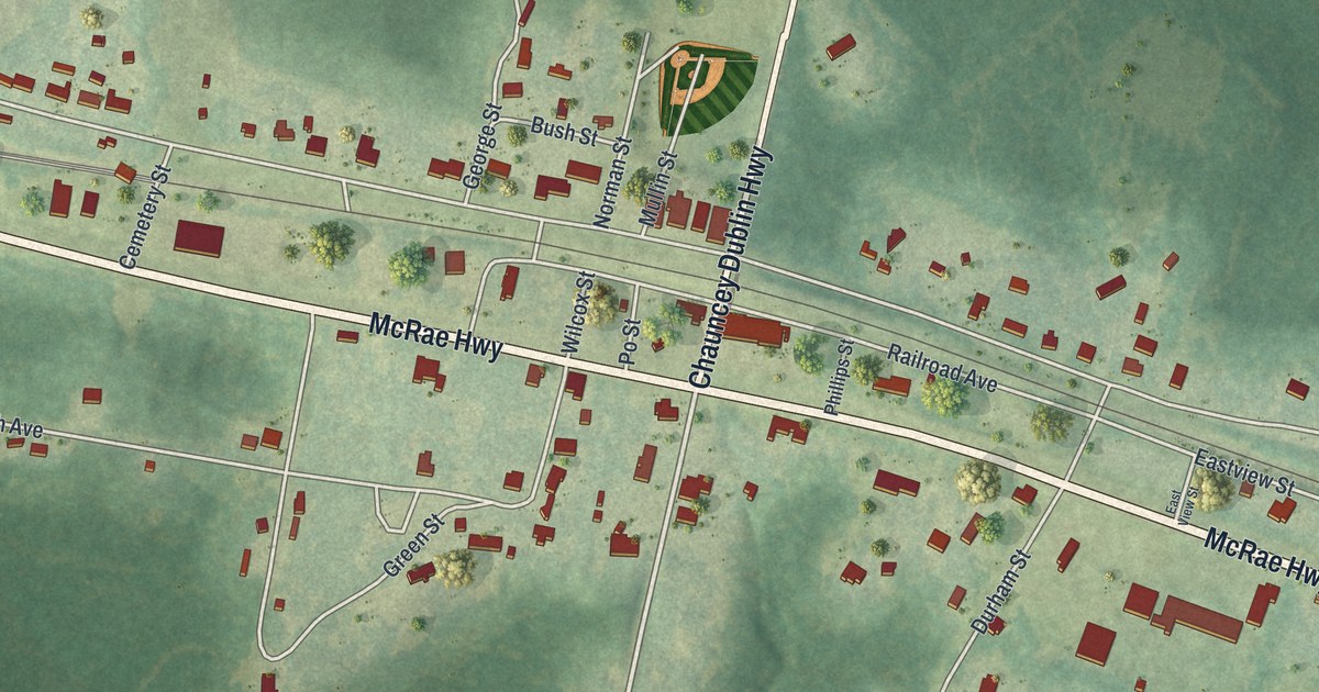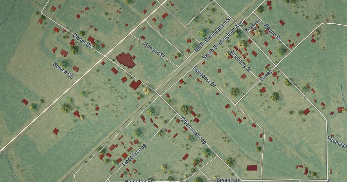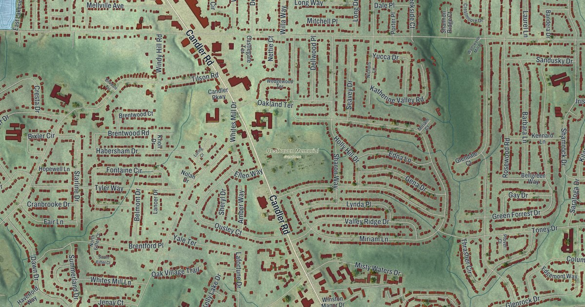
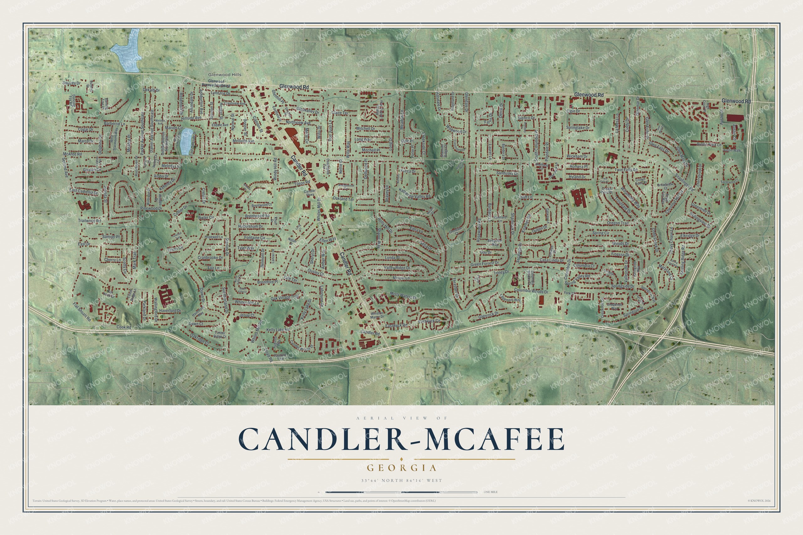
This beautifully detailed map of Candler-McAfee, Georgia was created in 2026 using aerial imagery combined with modern topographical, census, street and landmark data. It’s a one-of-a-kind view of Candler-McAfee that combines accurate data with a vintage aesthetic. The map shows every building in its true location, many of the roads carry their names, and the shaded topographic relief shows the shape of the land.
Explore an aerial view of Candler-McAfee, Georgia
On the map you’ll find Glenwood Hills, Resthaven Memorial Gardens, and Gaia Gardens, along with Glenwood Road, Candler Road, Glenwood Avenue, McAfee Road, Tilson Road, and more. If you look closely you can even find your house accurately drawn in its correct location. Zoom in on the preview to look for yours.
Take a closer look at the Candler-McAfee map
Names on this map
These names are printed on this map.
Places: Glenwood Hills, Resthaven Memorial Gardens and Gaia Gardens.
Streets and roads: Glenwood Road, Candler Road, McAfee Road, Tilson Road, Miriam Lane, Toney Drive, Glendale Drive, Shamrock Drive, Columbia Drive, Second Avenue, Snapfinger Road, Whites Mill Road.
More street names, A to Z
Allendale Drive, Alpha Drive, Amber Way, Amesbury Drive, Ashburton Avenue, Augusta Way, Austin Circle, Austin Drive, Austin Park Lane, Austin Walk, Bandera Drive, Barbara Lane, Barberrie Lane, Bellgreen Way, Belmont Drive, Birkdale Terrace, Bixler Circle, Bonner Street, Brentford Place, Brentwood Court, Brentwood Road, Broadview Court, Burning Tree Drive, Candler Parkway, Candler Woods Drive, Cannon Street, Casa Linda Drive, Castlegate Terrace, Cherrybrook Drive, Cherry Lane, Chestnut Hill Circle, Chevy Chase Lane, Cindy Drive, Claire Terrace, Cobb Creek Drive, Cogar Drive, Colleen Court, Collier Drive, Columbia Court, Columbia Woods Court, Columbia Woods Drive, Connie Lane, Cook Road, Cranbrooke Drive, Creekside Court, Cresta Drive, Crestknoll Circle, Crestknoll Way, Crestmoore Drive, Crestview Avenue, Crown Point Court, Crown Point Place, Dale Place, Dancing Fox Road, Daniel Avenue Southeast, Dawn Court, Dawn Drive, Dekalb Drive, Dellwood Place, Delphine Drive, Delphine Way, Derrill Drive, Don Juan Lane, Dublin Drive, East Camellia Drive, East Drive, Easterwood Court, Eastfield Street, East Lakeside Drive, Eastwyck Circle, Eastwyck Road, Edgemont Way, Edna Lane, Elgin Drive, Elkridge Drive, Elldale Avenue, Ellen Way, Fair Lane, Farris Drive, Finesse Drive, Flat Shoals Road, Fontaine Circle, Galway Lane, Garden Circle, Gay Drive, Gena Drive, Glenco Drive, Glendale Court, Glen Echo Drive, Glen Falls Drive, Glenhill Place, Glenmar Drive, Glen Mora Court, Glen Mora Drive, Glenrock Drive, Glenvalley Drive, Glenwood Avenue Southeast, Green Forrest Drive, Greentree Drive, Habersham Drive, Haverford Drive, Haverford Way, High Court Place, Hillsdale Drive, Hillside Avenue, Holly Hill Drive, Homera Place, Hooper Street, Hopewell Lane, Hyland Drive, Irish Lane, Jenay Court, Juanita Street, Katherine Valley Road, Keheley Drive, Kelly Lake Drive, Kelly Lake Road, Kennard Lane, Kilarney Road, Knoll Drive, Lafortune Drive, La Mesa Lane, Lancer Drive, Laurel Lane, Lloyd Road, Long Drive, Long Way, Loring Court, Lullwood Trail, Lynda Place, Lynn Iris Drive, Marco Drive, Marion Circle, Mark Trail, Maryland Court, McAfee Place, Meadow Lane, Mellville Avenue, Melody Lane, Merle Circle, Miriam Court, Misty Waters Drive, Mitchell Drive, Mitchell Place, Nettie Court, Nichols Lane, Nolan Drive, Normal Street, North Eiffel Court, Northview Avenue, Oak Knob Drive, Oakland Terrace, Oak Park Lane, Oakridge Court, Oak Village Trail, Oregon Trail, Ousley Court, Parker Avenue Southeast, Parkland Drive, Pautone Trce, Pinedale Place, Pinewood Drive, Plover Court, Porter Place, Quillian Avenue Southeast, Rebecca Lane, Ridgeland Drive, Robins Landing Way, Rockhaven Drive, Rollingview Drive, Rosemont Drive, Rosewood Road, Royal Fox Way, Samuel Place, Sandusky Drive, Saratoga Drive, Scotty Circle, Seavey Drive, Shannon Ridge Court, Sharon Way, Sheffield Circle, Sheryl Drive, South Columbia Place, South Eiffel Court, Spring Circle, Springlake Drive, Springrun Court, Springrun Drive, Springrun Way, Springside Drive, Springside Lane, Springside Way, Spring Valley Road, Stanton Street, Starline Drive, Sterling Ridge Road, Sterling Ridge Way, Stockton Street, Summerland Drive, Summit Drive, Swazey Drive, Thrasher Circle, Tilson Circle, Tilson Ridge Lane, Timber Ridge Court, Trailwood Road, Troutdale Drive, Twin Falls Court, Twin Falls Road, Tyler Way, Valley Ridge Drive, Valleyside Drive, Wadsworth Mill Place, Wallingford Drive, Wedgewood Terrace, Weldon Avenue, West Lakeside Drive, West Starmount Way, Whites Mill Drive, Whites Mill Lane, Wickham Drive, Wildrose Drive, Wildwood Drive, Willa Drive, Willamette Way, Willa Way, Windell Drive, Windy Hill Road, Winston Manor Drive, Woods Drive, Yale Terrace, York Place, Yucca Drive.
See it on a wall
The Candler-McAfee map as a framed print. Swipe for more.


This beautifully detailed map of Candler-McAfee makes an attractive addition to your office, library, or den, and it can even be used to teach children the geography and history of the area. It also makes a great gift for anyone who grew up in Candler-McAfee or moved away. When you’re done exploring, click here to get your copy of the Candler-McAfee map.