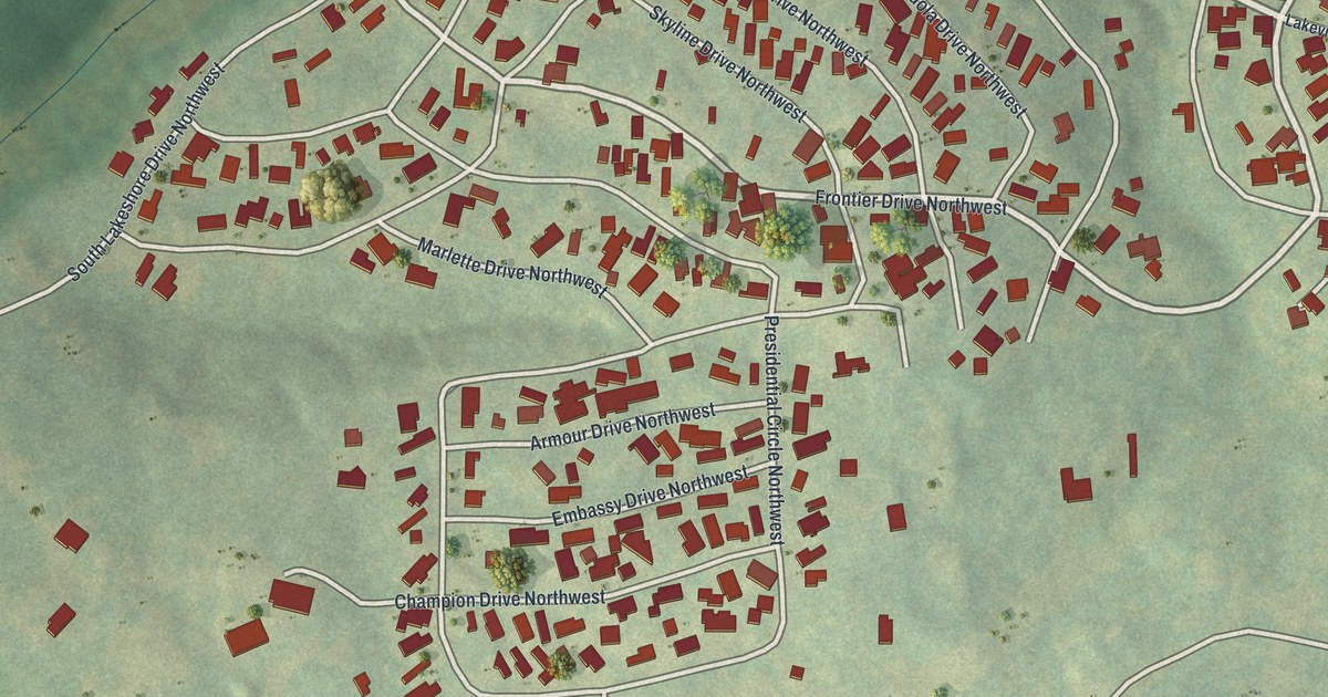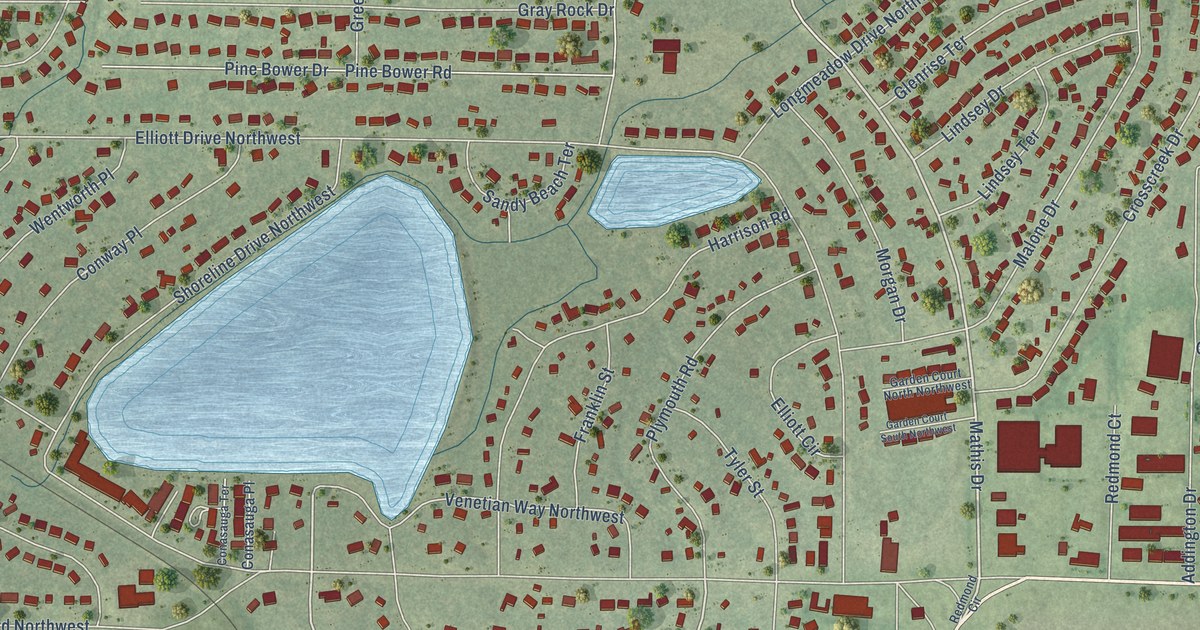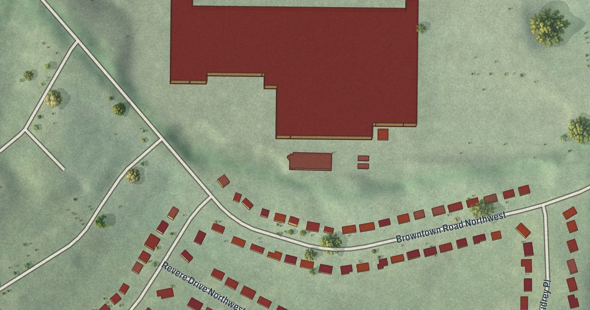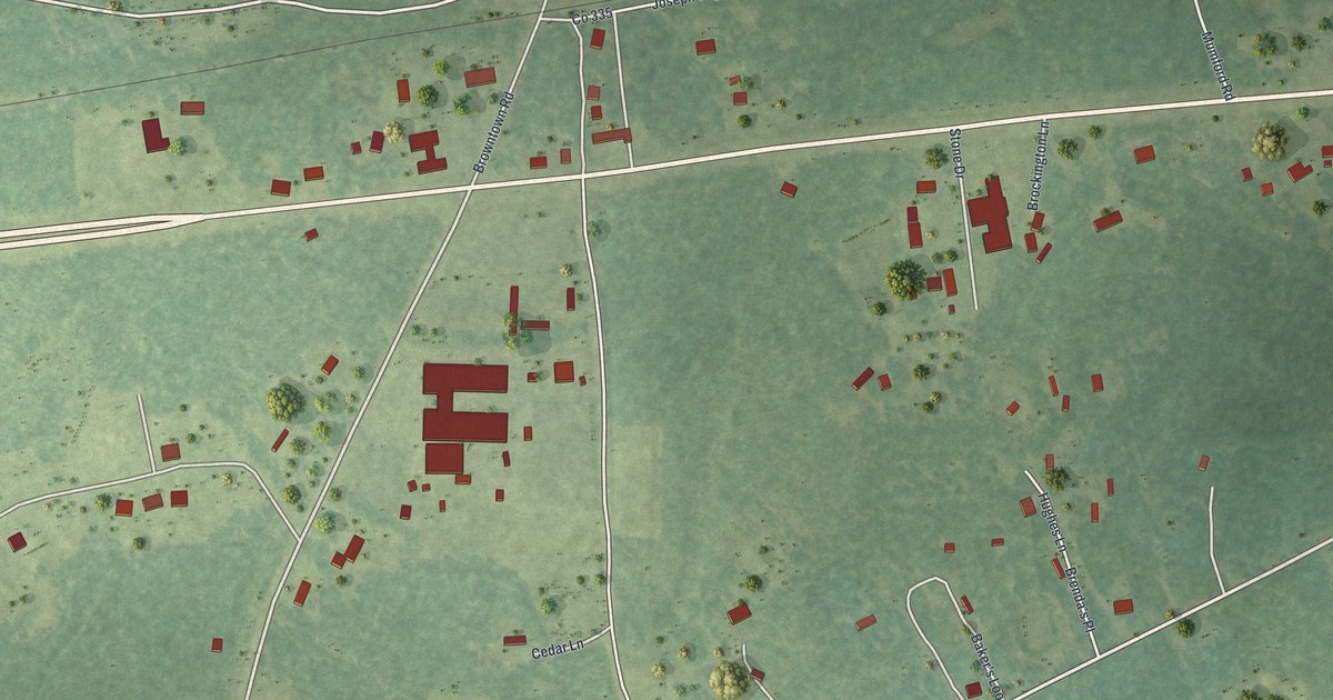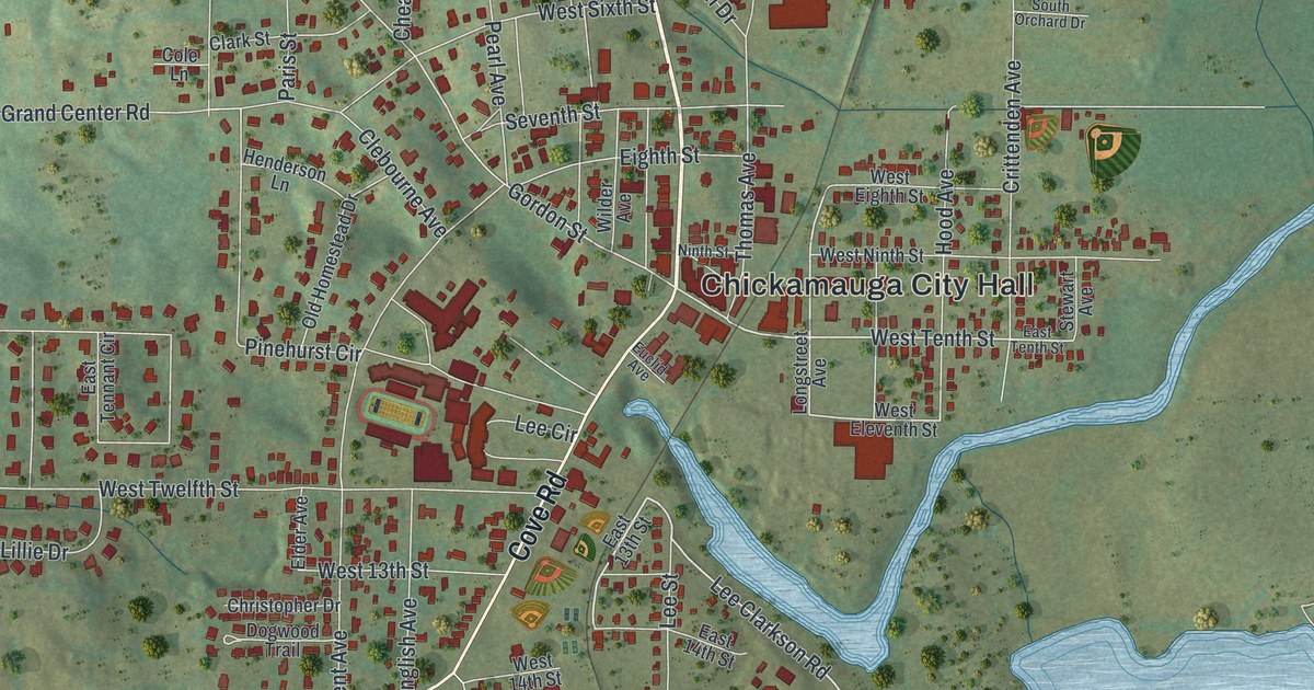
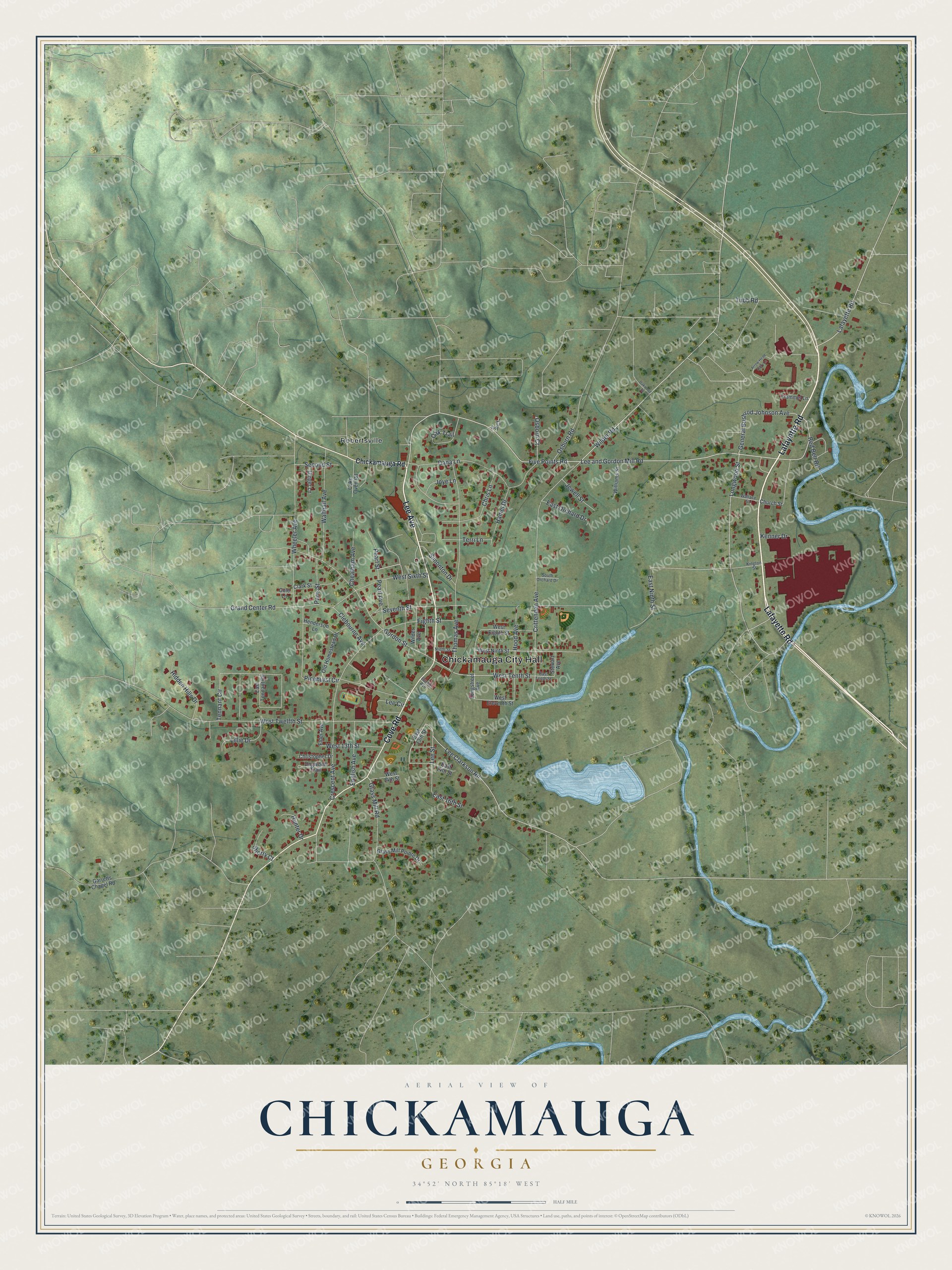
This beautifully detailed map of Chickamauga, Georgia was created in 2026 using aerial imagery combined with modern topographical, census, street and landmark data. It’s a one-of-a-kind view of Chickamauga that combines accurate data with a vintage aesthetic. The map shows every building in its true location, many of the roads carry their names, and the shaded topographic relief shows the shape of the land.
Explore an aerial view of Chickamauga, Georgia
On the map you’ll find Chickamauga City Hall and Robertsville, along with Lafayette Road, Lee Avenue, Cove Road, Chickamauga Road, and more. If you look closely you can even find your house accurately drawn in its correct location. Zoom in on the preview to look for yours.
Did You Know?
Chickamauga’s old post office went by the name Crawfish Springs. In 1820, the Cherokee Nation made Crawfish Springs the capital of its new Chickamauga District. After the Cherokee were forced out on the Trail of Tears, Walker County held its first court there, inside the old Cherokee courthouse.
Take a closer look at the Chickamauga map
Names on this map
These names are printed on this map.
Places: Chickamauga City Hall and Robertsville.
Streets and roads: Lafayette Road, Lee Avenue, Cove Road, Five Points Road, Lee and Gordon Mill Road, Wilder Road, Lee Clarkson Road, General Bushrod Johnson Avenue, West Tenth Street, Gordon Street, West Twelfth Street, Crittenden Avenue.
More street names, A to Z
Arrow Head Dairy Lane, Cheatham Avenue, Chickamauga Road, Chris Lane, Christopher Drive, Church Street, Clark Street, Clebourne Avenue, Coke Oven Road, Cole Lane, Crescent Avenue, Dana Lane, Dogwood Trail, East 13th Street, East 14th Street, East 16th Street, East Ninth Street, East Orchard Drive, East Tennant Circle, East Tenth Street, Eighth Street, Elder Avenue, English Avenue, Euclid Avenue, Garretts Chapel Road, Ginger Lane, Glass Mill Pointe Drive, Glass Mill Road, Grand Center Road, Hamel Drive, Henderson Lane, Hidden Hills Drive, Hood Avenue, Hunter Drive, Ivy Court, Jewell Street, Joye Lane, Kenner Drive, Kington Street, Lee Circle, Lee Street, Lillie Drive, Longstreet Avenue, Longwood Street, Ninth Street, Oak Trail, Oakwood Street, Old Homestead Drive, Osborn Court, Osburn Road, Paris Street, Pearl Avenue, Pearl Street, Pinehurst Circle, Red Belt Road, Second Street, Seventh Street, Sherry Court, Simonton Drive, South Orchard Drive, Stewart Avenue, Tennant Circle, Terri Lane, Thomas Avenue, Trammel Lane, Tubb Road, Wallace Street, Walthall Avenue, West 13th Street, West 14th Street, West Eighth Street, West Eleventh Street, West Ninth Street, West Sixth Street, Wheeler Avenue, Wilder Avenue, Williams Street.
See it on a wall
The Chickamauga map as a framed print. Swipe for more.


This beautifully detailed map of Chickamauga makes an attractive addition to your office, library, or den, and it can even be used to teach children the geography and history of the area. It also makes a great gift for anyone with Chickamauga roots. When you’re done exploring, click here to get your copy of the Chickamauga map.