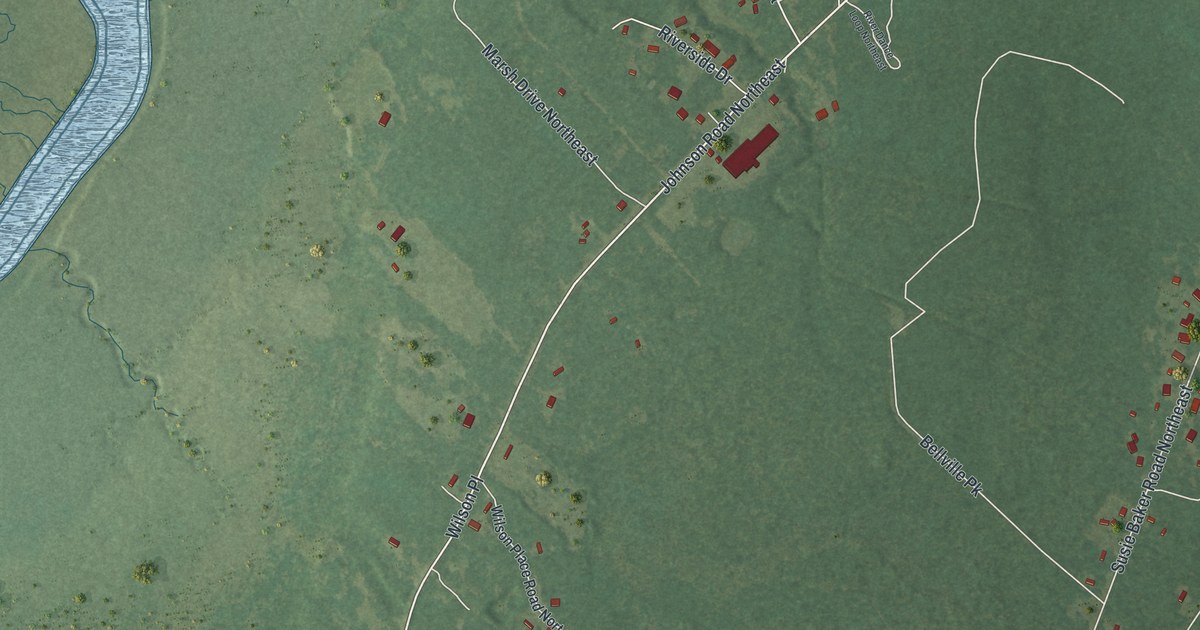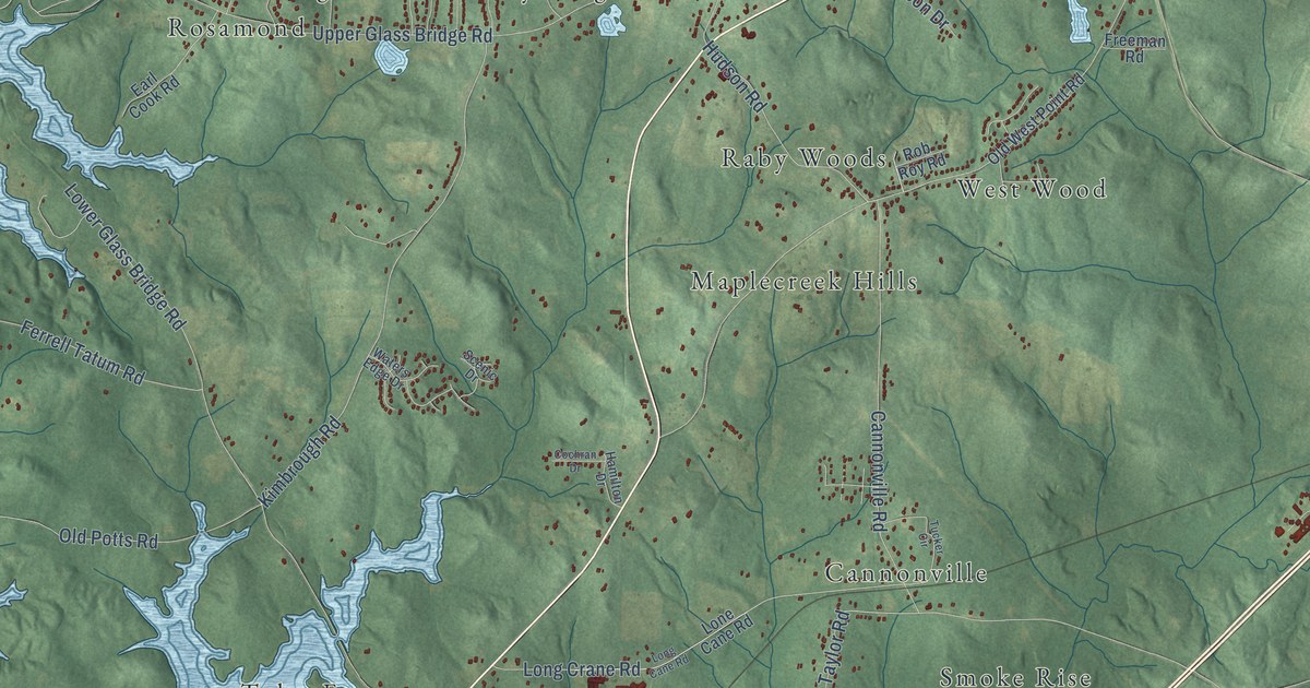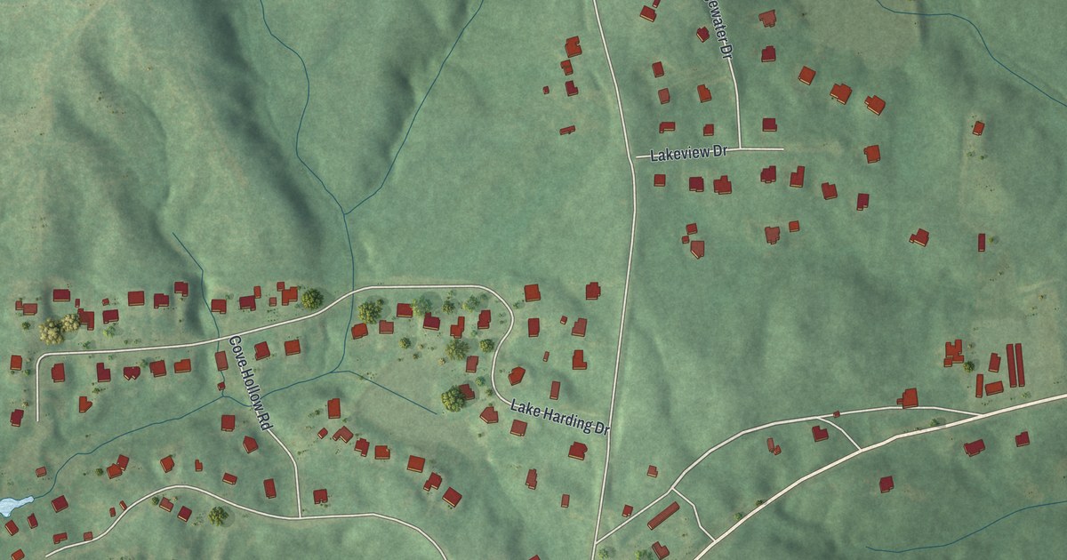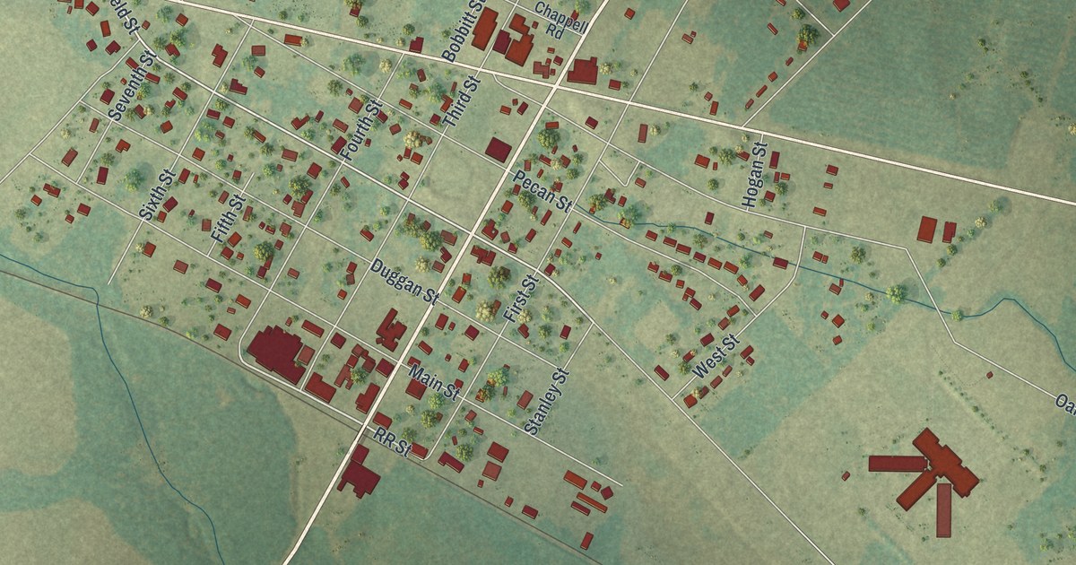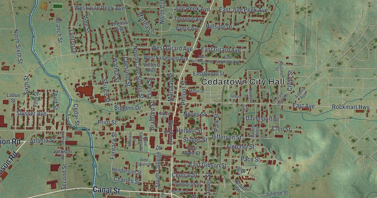
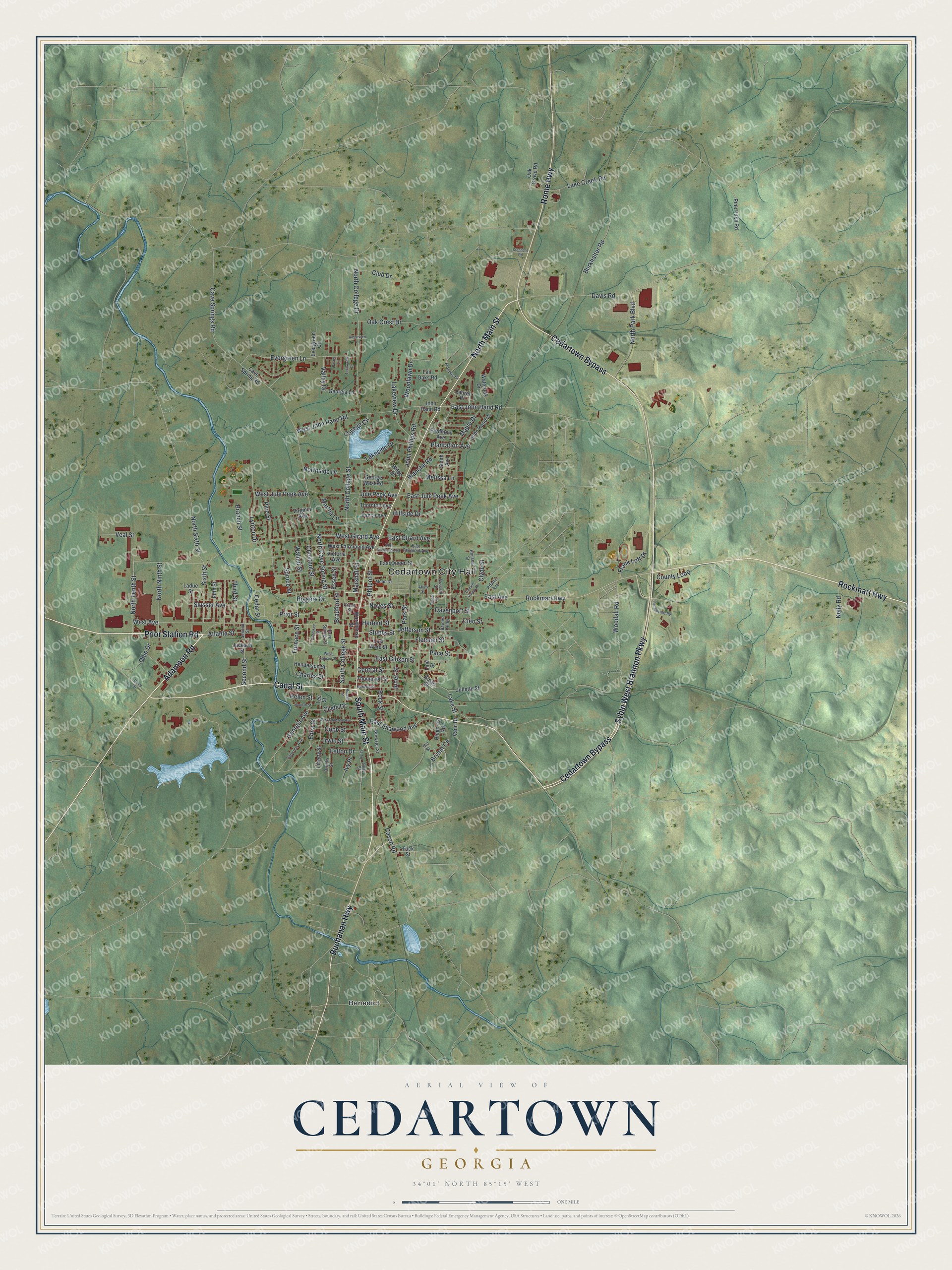
This beautifully detailed map of Cedartown, Georgia was created in 2026 using aerial imagery combined with modern topographical, census, street and landmark data. It’s a one-of-a-kind view of Cedartown that combines accurate data with a vintage aesthetic. The map shows every building in its true location, many of the roads carry their names, and the shaded topographic relief shows the shape of the land.
Explore an aerial view of Cedartown, Georgia
On the map you’ll find Cedartown City Hall and Benedict, along with Rome Highway, Rockmart Highway, Prior Station Road, Adamson Road, and more. If you look closely you can even find your house accurately drawn in its correct location. Zoom in on the preview to look for yours.
Did You Know?
Cedartown stands on the site of a Cherokee settlement. The settlement was named for the many red cedars that grew nearby. The town’s big industrial growth came in the 1920s, when it became a textile center. By 1940 three major mills employed about 2,000 people. That’s from the 1940 WPA guide to Georgia.
Take a closer look at the Cedartown map
Names on this map
These names are printed on this map.
Places: Cedartown City Hall and Benedict.
Streets and roads: Rome Highway, Rockmart Highway, Prior Station Road, Adamson Road, South Main Street, Buchanan Highway, Canal Street, Cedartown Bypass, North Main Street, Syble West Brannon Parkway, East Avenue, East John Hand Road.
More street names, A to Z
Adams Avenue, Atlanta Street, Barnes Alley, Biggers Drive, Blanche Road, Bradford Street, Branch Street, Brewster Street, Broad Street, Brooks Street, Bryant Circle, Burkhalter Road, Cason Road, Cave Spring Road, Cave Springs Road, Cave Springs Street, Cedar Street, Central Street, Charles Street, Cherokee Street, Chestnut Street, Cleo Street, Club Drive, Clyde Drive, Clyde Street, Cobb Street, Collard Valley Road, College Circle, County Loop, Davenport Street, Davis Road, East Ellawood Avenue, East Fairmont Avenue, East Fairmount Avenue, East Gibson Street, East Girard Avenue, East Jule Peek Avenue, East Queen Street, East Ware Street, Edna Street, Elizabeth Street, Essex Street, Evergreen Circle, Evergreen Lane, Fairgrounds Road, Fair Oaks Road, Fairview Avenue, Felton Drive, Fifth Street, Fletcher Street, Frances Drive, Frank Lott Drive, Furnace Street, George West Road, Georgia Avenue, Georgia Lane, Grace Street, Hannah Street, Helen Street, Henderson Street, Herbert Street, Hillside Drive, Hill Street, Houseal Street, Irwin Street, Ivy Place, Ivy Street, Jackson Street, Janes Street, Jefferson Street, John Hand Drive, John Hand Road, John Phillips Road, Jones Street, Jule Peek Avenue, Juliette Street, Kelly Road, Ladue Street, Lake Creek Road, Lakeside Drive, Lake Street, Lakeview Drive, Laurel Place, Lee Street, Liberty Street, Line Street, Lynton Drive, Maple Drive, Marietta Street, Marshall Street, Martha Lane, Melissa Lane, Moon Drive, North Cave Spring Street, North College Drive, North College Street, North Ninth Street, North Park Boulevard, Northside Drive, North Sixth Street, North Tenth Street, Noyes Street, Oak Crest Drive, Oak Grove Road, Ohio Drive, Olive Street, Pace Street, Park Street, Parris Lane, Philpot Street, Piedmont Avenue, Pinecrest Road, Pine Pitch Road, Pine Street, Plantation Avenue, Prior Street, Ridgeview Lane, Rock Street, Russell Street, Second Street, Sixth Street, Slusser Avenue, Smith Avenue, South College Street, Spruce Street, Stephens Road, Stubbs Street, Techwood Drive, Third Street, Thompson Street, Thornton Avenue, Tuck Street, Turner Street, Valley Drive, Vance Avenue, Vann Drive, Veal Street, Victoria Avenue, Virginia Avenue, Walnut Street, Warehouse Street, Wateroak Drive, West Avenue, West Ellawood Avenue, West Fairmount Avenue, West Gibson Street, West Girard Avenue, West John Hand Road, West Jule Peek Avenue, Wiley Drive, Woodall Road, Woodlawn Drive.
See it on a wall
The Cedartown map as a framed print. Swipe for more.


This beautifully detailed map of Cedartown makes an attractive addition to your office, library, or den, and it can even be used to teach children the geography and history of the area. It also makes a great gift for anyone with Cedartown roots. When you’re done exploring, click here to get your copy of the Cedartown map.