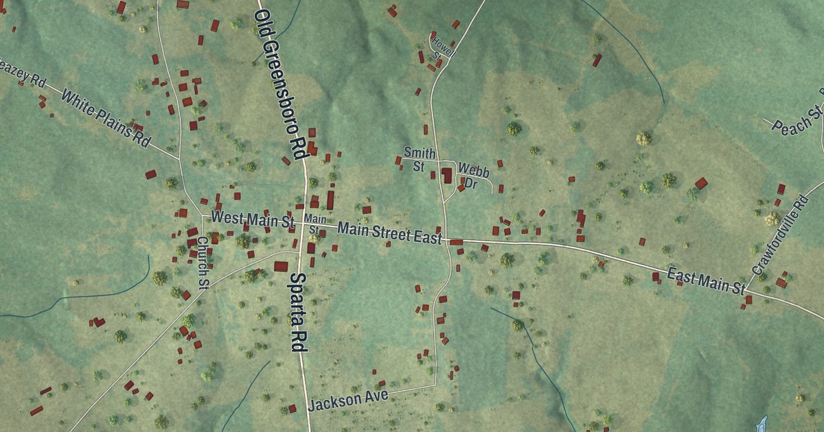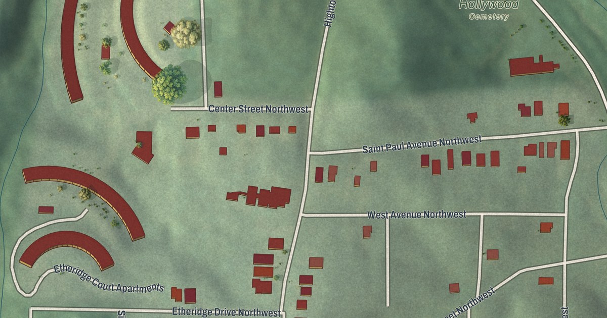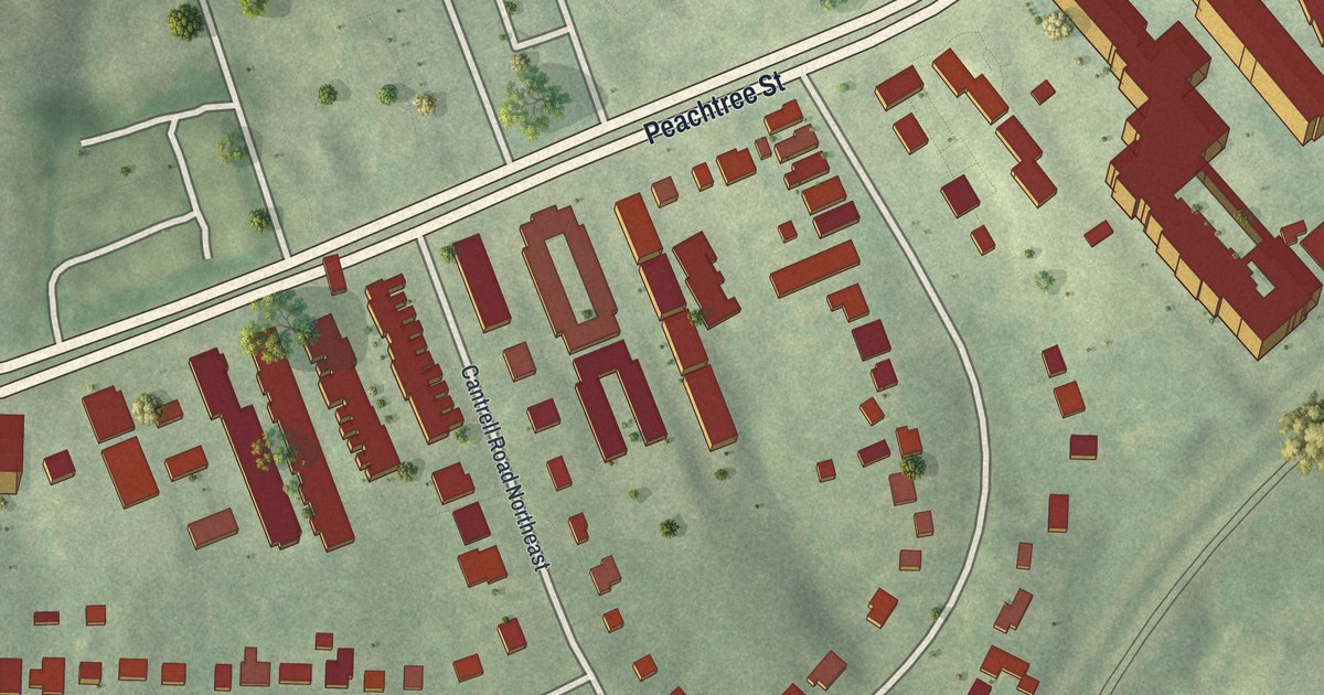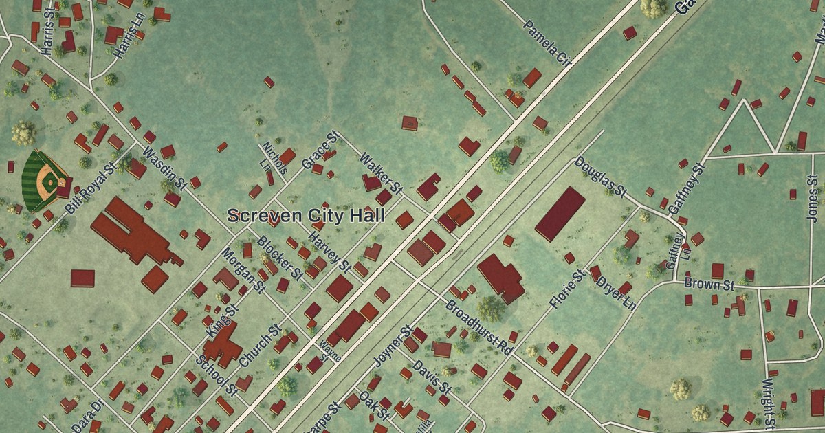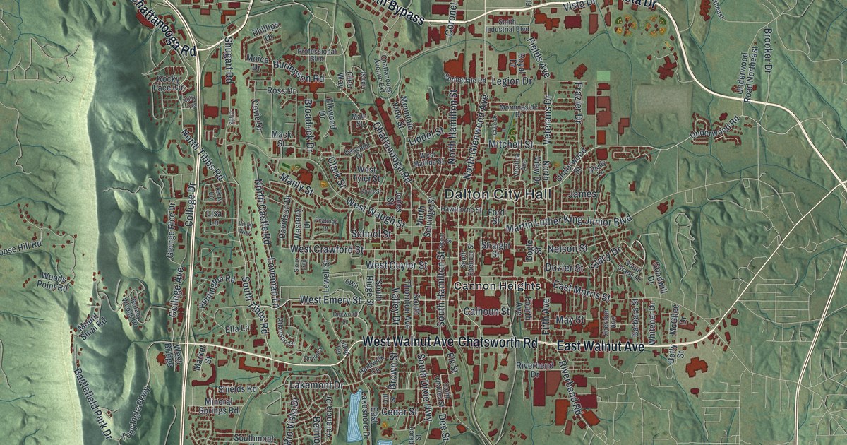
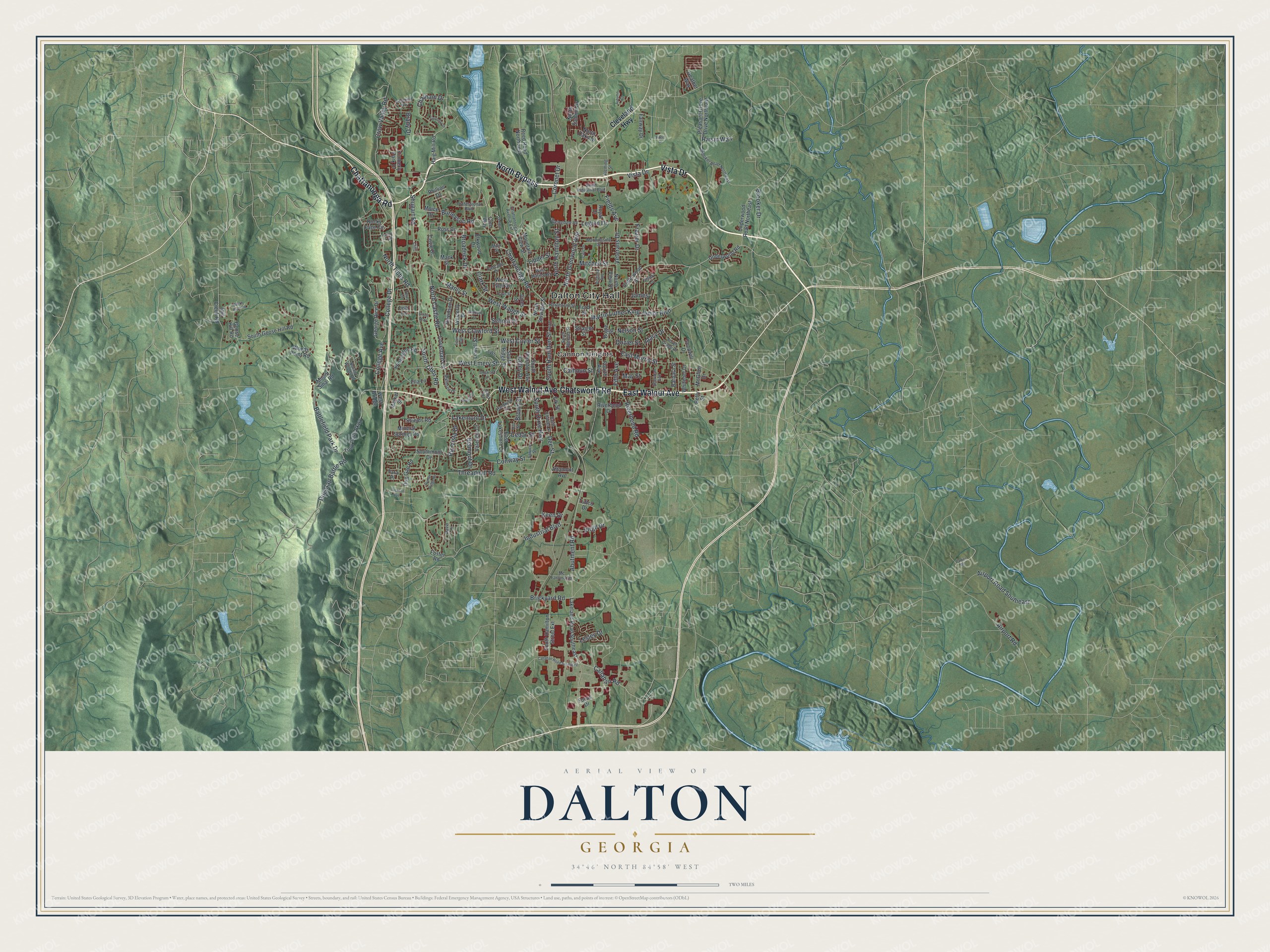
This beautifully detailed map of Dalton, Georgia was created in 2026 using aerial imagery combined with modern topographical, census, street and landmark data. It’s a one-of-a-kind view of Dalton that combines accurate data with a vintage aesthetic. The map shows every building in its true location, many of the roads carry their names, and the shaded topographic relief shows the shape of the land.
Explore an aerial view of Dalton, Georgia
On the map you’ll find Dalton City Hall and Cannon Heights, along with North Bypass, Chattanooga Road, Walnut Avenue, Chatsworth Road, and more. If you look closely you can even find your house accurately drawn in its correct location. Zoom in on the preview to look for yours.
Did You Know?
Catherine Evans Whitener revived the old craft of candlewicking, which grew into a chenille bedspread trade. Bedspreads hung on clotheslines along U.S. 41, a stretch nicknamed Peacock Alley. Glenn Looper later adapted the tufting machine to jute. That shift made Dalton the center of American carpet making.
Take a closer look at the Dalton map
Names on this map
These names are printed on this map.
Places: Dalton City Hall and Cannon Heights.
Streets and roads: North Bypass, Chattanooga Road, East Walnut Avenue, Chatsworth Road, West Walnut Avenue, Vista Drive, North Tibbs Road, Abutment Road, North Glenwood Avenue, West Emery Street, South Tibbs Road, College Avenue.
More street names, A to Z
Airport Road, Airport Road Southeast, Altamont Avenue, Atkinson Drive, Autumn Court, Barbara Street, Battlefield Park Drive, Belmont Drive, Betty Street, Bogle Street, Botany Woods Drive, Brady Drive, Brickyard Road, Broadrick Drive, Brooker Drive, Brooker Road Northeast, Brown Street, Bucks Bluff Road, Burleyson Road, Calhoun Street, Callahan Road, Callahan Road Southeast, Cascade Drive, Cedar Street, Chatham Drive, Chattanooga Avenue Extension, Civic Drive, Clark Street, Cleo Way, Cleveland Highway, Cliffs, College Drive, Conway Street, Coronet Drive, Coventry Drive, Covie Drive, Crow Valley Road, David Drive, Davidson Drive, Davis Street, Dee Street, Depot Street, Dogwood Lane, Dozier Street, Dug Gap Battle Road, Dug Gap Road, East Lakeshore Drive, East Morris Street, Elk Street, Elkwood Drive, Ella Lane, Fairway Drive, Fields Avenue, Fifth Avenue, Fleming Street, Focus Drive, Ford Street, Foster Road, Fourth Avenue, Frazier Drive, George Rice Drive, Goodwill Drive, Goose Hill Road, Haig Mill Road, Hardwick Circle, Hawthorne Street, Hazel Drive, Heather Way, Hill Street, Holly Terrace, Huntington Road, Industrial Boulevard, Jackson Avenue, James, Jones Street, Judd Terrace, Keen Drive, Kimberly Park Drive, Lakeland Road Southeast, Lakemont Drive, Legion Drive, Lesley Drive, Lewell Street, Lida Street, Liddel Street, Lisa Lane, Loveman Lane, Mack Street, Main Street, Manly Street, Market Street, Martin Luther King Junior Boulevard, May Street, Mc Farland Road, McGhee Drive, Mill Creek Road, Mineral Springs Road, Mitchell Street, Moice Drive, Morningside Drive, Mountain View Street, Mount Sinai Road, Nelson Street, North Castle Road, North Hamilton Street, North Oaks Drive, North Selvidge Street, North Summit Drive, North View Drive, Oneonta, Parker Road, Peabody Drive, Phillips Drive, Pleasant Grove Drive Northeast, Professional Boulevard, Raisin Way, Reed Road Northwest, Ridgefield Way, Rio Vista Drive, Riverbend Drive, Riverbend Road, Rocky Face Circle, Ross Drive, Royal Drive, Ryman Ridge Road, Saint Charles Street, School Street, Shady Lane, Sheridan Avenue, Shields Road, Shugart Road, Sioux Trail, Smith Industrial Boulevard, South Dixie Highway, South Goose Hill Road, South Grade Drive, South Hamilton Street, South Hamilton Street Extension, Southmont Drive, South Ridge Street, South Spencer Street, South Thornton Avenue, Springdale Road, Spruce Street, Stacy Drive, Straight Street, Tara Place, Terry Lane, Threadmill Road, Tony Ingle Parkway, Tuftco Drive, Underwood Road, Underwood Road Northeast, Underwood Street, Valencia Drive, Valley Drive, Veterans Drive, Violet Way, Virgil Drive, Virginia Avenue, West Bridge, West Crawford Street, West Cuyler Street, Westerly Drive, West Matilda Street, West Tyler Street, West Waugh Street, Whitener Drive, Woods Point Road.
See it on a wall
The Dalton map as a framed print. Swipe for more.


This beautifully detailed map of Dalton makes an attractive addition to your office, library, or den, and it can even be used to teach children the geography and history of the area. It also makes a great gift for anyone with Dalton roots. When you’re done exploring, click here to get your copy of the Dalton map.