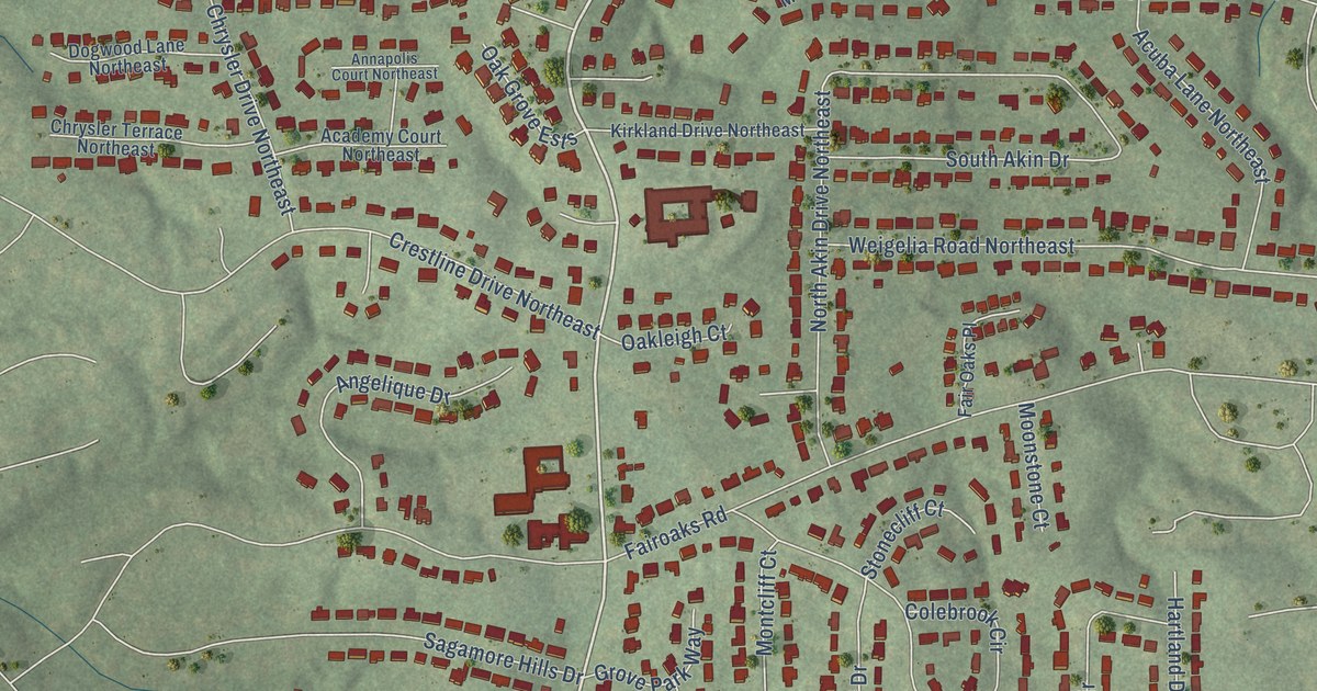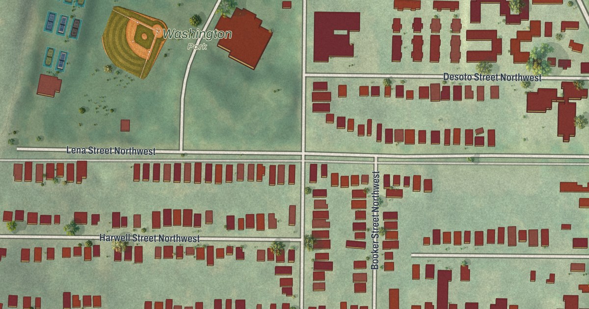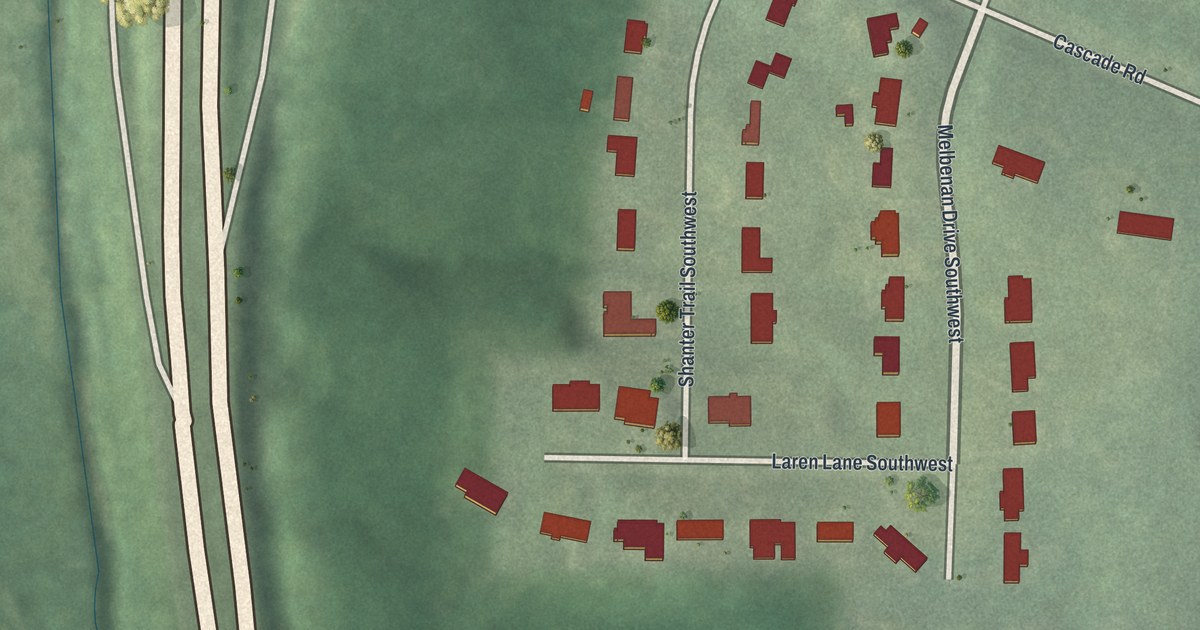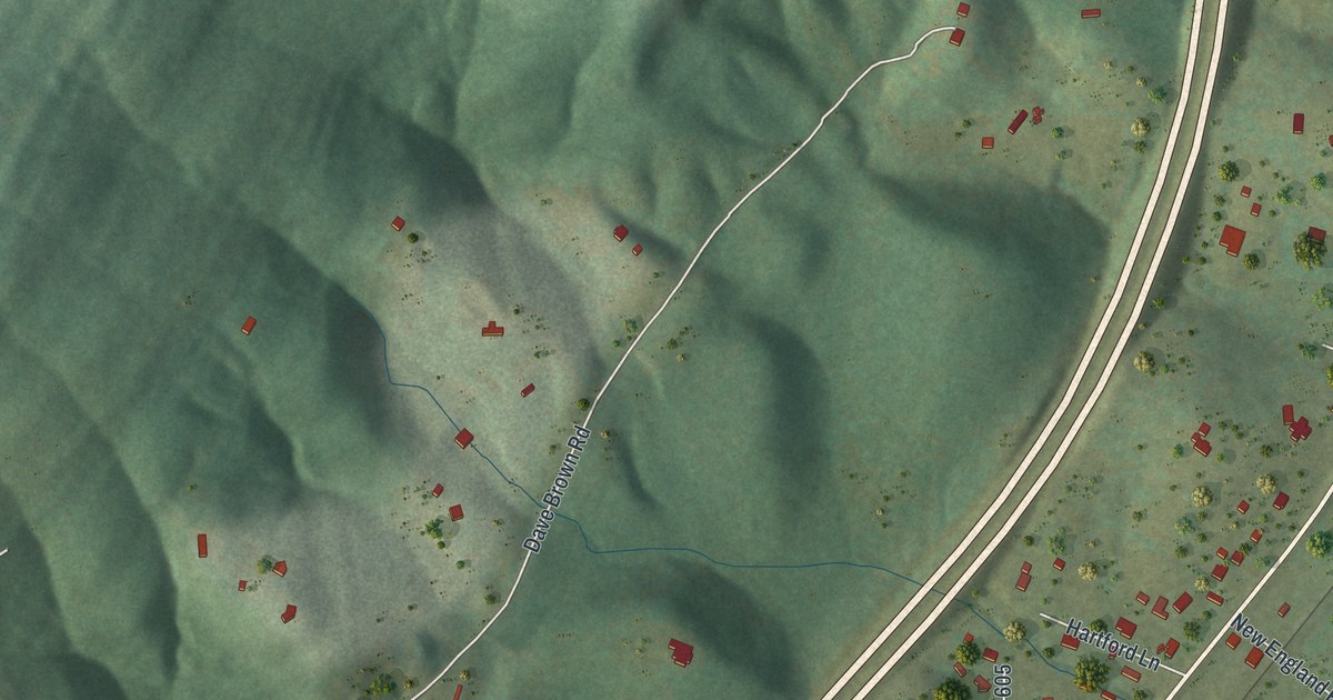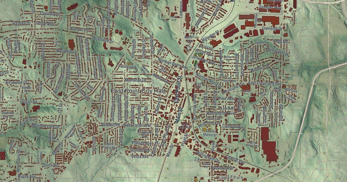
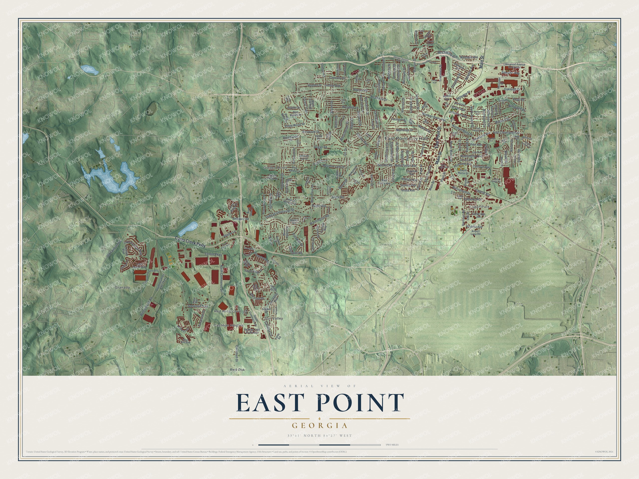
This beautifully detailed map of East Point, Georgia was created in 2026 using aerial imagery combined with modern topographical, census, street and landmark data. It’s a one-of-a-kind view of East Point that combines accurate data with a vintage aesthetic. The map shows every building in its true location, many of the roads carry their names, and the shaded topographic relief shows the shape of the land.
Explore an aerial view of East Point, Georgia
On the map you’ll find East Point City Hall, Eagan Park, Castilian Heights, Golden Acres, Granada, and Red Oak, along with Camp Creek Parkway, Main Street, Point Street, Womack Avenue, and more. If you look closely you can even find your house accurately drawn in its correct location. Zoom in on the preview to look for yours.
Did You Know?
East Point sat at the eastern end of the Atlanta and West Point Railroad, and West Point, Georgia, held the western end. Sixteen families founded the settlement as a rail terminus in 1870. Its cool upland air made it a popular summer resort for Atlantans. The city received its first charter in 1887.
Take a closer look at the East Point map
Names on this map
These names are printed on this map.
Places: East Point City Hall, Eagan Park, Castilian Heights, Golden Acres, Granada, Red Oak, Red Wing Cove and Sun Valley.
Streets and roads: Camp Creek Parkway, Main Street, East Point Street, Womack Avenue, East Cleveland Avenue, Cleveland Avenue, Washington Avenue, Washington Road, McClelland Avenue, Ben Hill Road, Stanton Street, Church Street.
More street names, A to Z
Aero Court, Airport Loop Road, Akron Street, Ale Circle, Arlington Road, Arrowood Drive, Batavia Street, Bayard Street, Beech Drive, Black Fox Trail, Blount Street, Bonner Road, Boulder Way, Branchwood Drive, Briarwood Boulevard, Brookdale Drive, Bryan Avenue, Bryant Drive, Calhoun Avenue, Calmer Circle, Cambridge Avenue, Campbell Drive, Carmel Drive, Carnegie Avenue, Carriage Way, Castlewood Street, Catalina Circle, Central Avenue, Centre Parkway, Chapman Avenue, Charles Drive, Cheney Street, Chestnut Drive, Cheviot Glen, Clermont Avenue, Cloverhurst Drive, Collins Drive, Connally Drive, Constance Street, Creek Pointe Way, Crest Ridge Drive, Dauphine Street, Davis Avenue, Delowe Drive Southwest, Delowe Stanton Acces Road, Desert Circle, Dodson Drive, Dodson Drive Con, Dodson Lee Drive, Dogwood Drive, Dorsey Avenue, Douglas Drive, Dresden Trail, Drexel Lane, Duke of Gloucester Street, Duke of Windsor Street, Dunlap Avenue, East Forrest Avenue, East Taylor Avenue, East Woodberry Avenue, Eighth Street, Elm Street, Elsinore Street, Empire Avenue, Eubanks Avenue, Farley Court, Farley Street, Flamingo Drive, Forest Trail, Fredell Circle, Fulton Avenue, Georgia Avenue, Gillem Drive, Glendale Drive, Graywall Street, Green Valley Drive, Hagger Way, Harlan Drive, Harmony Way, Harris Drive, Harrison Road, Harris Street, Harvester Street, Hayden Drive, Headland Drive, Heather Drive, Hillcrest Drive, Hogan Road, Holcomb Avenue, Idlewood Drive, Ivydale Street, Jackson Drive, Janice Drive, Jefferson Avenue, Jefferson Terrace, Jewel Street, Jones Street, Judson Avenue, Kimmeridge Drive, Kingfisher Drive, Kingston Terrace, Lake Enclave Way, Lake Manor Way, Lakemont Drive, Lakeside Boulevard, Lake Terrace, Lakewood Avenue Southwest, Lancaster Drive, Larose Street, Laurel Green, Laurel Lane, Laurel Ridge, Laurel Ridge Drive, Lawrence Street, Lee Street, Lexington Avenue, Long Street, Lumpkin Street, Luther Drive, Lyle Avenue, Maple Street, Maria Head Terrace, Martin Street, McCoy Avenue, McKenzie Road, Meadow Lark Drive, Miles Circle, Milledge Street, Montrose Drive, Mount Olive Road, Mount Vernon Drive, Mulberry Street, Nabell Avenue, Neely Avenue, Newnan Avenue, Norman Berry Avenue, Norman Berry Drive, North Bayard Street, North Commerce Drive, North Desert Drive, North Martin Street, Oakleigh Drive, Oak Street, Old Fairburn Road, Orr Drive, Palm Drive, Palm Springs Drive, Park Street, Parkway Circle, Pearl Street, Pegg Road, Penrose Drive, Phillips Avenue, Pine Avenue, Pinehurst Drive, Pine Needle Drive, Pine Valley Circle, Piney Wood Drive, Piney Wood Lane, Plantation Drive, Plant Street, Pointview Drive, Potomac Drive, Prince George Street, Randall Street, Rantin Drive, Redwine Road, Reed Avenue, Remington Street, Ridgecrest Lane, Riggs Drive, Rockwood Road, Rolling Brook Trail, Ross Drive, Rugby Avenue, Sampler Way, Savannah Drive, Scenic Terrace, Scott Circle, Semmes Street, Shelby Lane, Sir Henry Street, Sloop Way, Somerled Trail, South Clark Drive, South Commerce Drive, South Desert Drive, South Fredell Circle, South Martin Street, Southmeadow Parkway West, Southmeadows East Parkway, Spanish Trail Southwest, Spencer Avenue, Stanton Road, Stone Road, Sun Valley Boulevard, Sylvan Road, Valley Drive, Vance Drive, Vesta Avenue, Vesta Terrace, Victoria Drive, Virginia Avenue, Wadley Avenue, Warren Way, Welcome All Road, Westchester Drive, West Farris Avenue, West Gate Boulevard, Westover Drive, West Taylor Avenue, Willingham Drive, Winburn Drive, Windy Rush Drive, Woodhill Lane, Woodland Circle, Wood Valley Drive, Yates Road.
See it on a wall
The East Point map as a framed print. Swipe for more.


This beautifully detailed map of East Point makes an attractive addition to your office, library, or den, and it can even be used to teach children the geography and history of the area. It also makes a great gift for someone who left East Point and still calls it home. When you’re done exploring, click here to get your copy of the East Point map.