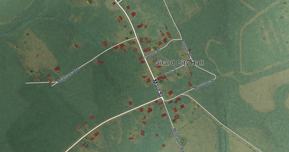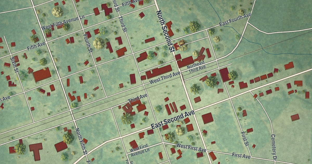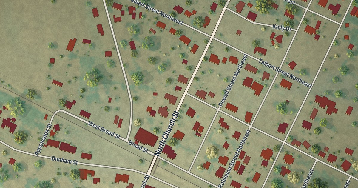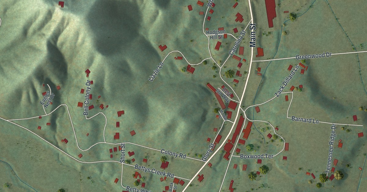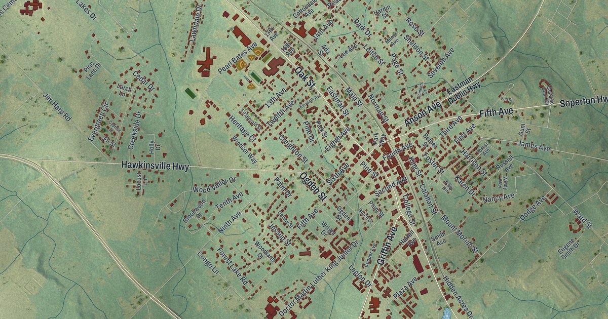
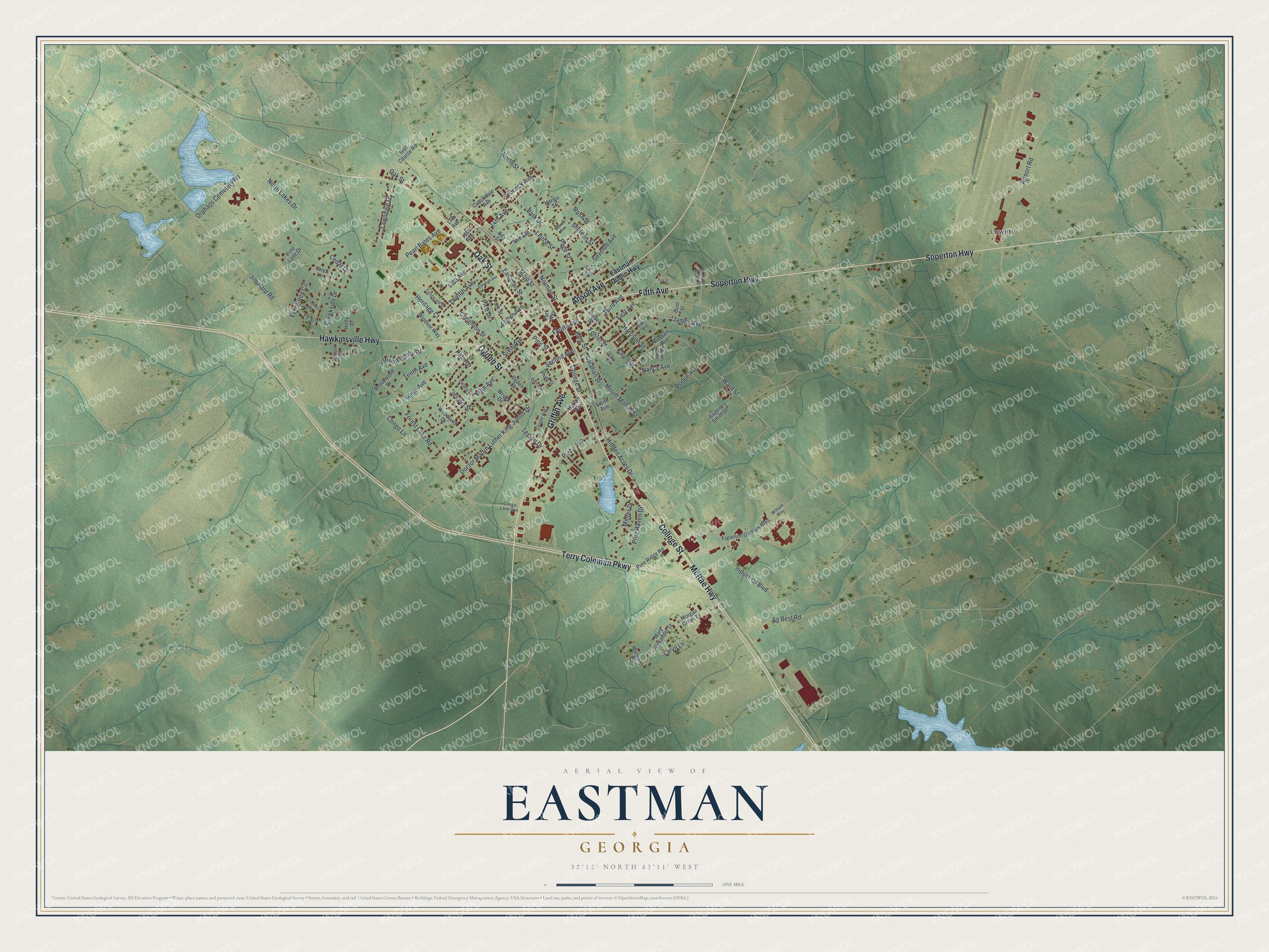
This beautifully detailed map of Eastman, Georgia was created in 2026 using aerial imagery combined with modern topographical, census, street and landmark data. It’s a one-of-a-kind view of Eastman that combines accurate data with a vintage aesthetic. The map shows every building in its true location, many of the roads carry their names, and the shaded topographic relief shows the shape of the land.
Explore an aerial view of Eastman, Georgia
On the map you’ll find Lowery, along with Oak Street, College Street, Ogden Street, Fifth Avenue, Griffin Avenue, and more. If you look closely you can even find your house accurately drawn in its correct location. Zoom in on the preview to look for yours.
Did You Know?
Eastman was named for William Pitt Eastman, who gave the land the town was built on. Its first store opened in 1871 at the old depot of the Macon and Brunswick Railroad. The town was incorporated two years later. By 1940 its chief products were cotton, hay, turpentine and pecans. That’s from the 1940 WPA guide to Georgia.
Take a closer look at the Eastman map
Names on this map
These names are printed on this map.
Places: Lowery.
Streets and roads: Oak Street, College Street, Ogden Street, Fifth Avenue, Griffin Avenue, Soperton Highway, Terry Coleman Parkway, Hawkinsville Highway, Anson Avenue, McRae Highway, Laryn Lane, Main Street.
More street names, A to Z
13th Avenue, 14th Avenue, 15th Avenue, 17th Avenue, Ada Street, Ag Best Road, Airport Road, Bethel Street, Brookwood Drive, Burch Street, Calahan Street, Cary Circle, Cedar Drive, Clements Street, Congo Lane, Congo Lane Con, Cooper Avenue, Cottondale Avenue, Creekside Drive, Creighton Street, Cypress Street, Delacy Street, Doctor Martin Luther King Junior Drive, Dodge Avenue, Eastman Dublin Highway, Eastman Street, Eastside Court Drive, Eighth Avenue, Eleventh Avenue, Eugene Smith Drive, Evergreen Circle, First Avenue, Fir Street, Fitzgerald Street, Forest Avenue, Forest Lake Road, Foster Street, Fourth Avenue, Freamon Graham Boulevard, Fun Street, Golf Course Road, Gum Street, Hardin Street, Harrell Avenue, Harrison Street, Heritage Court, Hidden Acres Drive, Holly Drive, Industrial Boulevard, James Avenue, Jessup Street, Jim Harp Road, Karen Drive, King Street, Larch Lane, Lawndale Drive, Lee Avenue, Legion Drive, Leitch Street, Locust Lane, Margaret Drive, Mary Alexander Drive, Milner Avenue, Minter Drive, Morgan Creek Drive, Mount Moriah Street, Nancy Avenue, Ninth Avenue, Norman Street, North Lakes Drive, North Street, Orphans Cemetery Road, Page Street, Palm Drive, Park Drive, Park Street, Park Way, Peacock Avenue, Pearl Bates Avenue, Pine Drive, Pine Haven Drive, Pine Lane Drive, Pine Ridge Road, Pine Street, Plaza Avenue, Plum Street, Rose Street, Russell Avenue, Second Avenue, Seventh Avenue, Sheldon Street, Sixth Avenue, Smith Avenue, Tenth Avenue, Third Avenue, Twelfth Avenue, Ward Street, William Way, Windsor Way, Windy Way, Woodland Drive, Wood Valley Drive, Wright Drive.
See it on a wall
The Eastman map as a framed print. Swipe for more.


This beautifully detailed map of Eastman makes an attractive addition to your office, library, or den, and it can even be used to teach children the geography and history of the area. It also makes a great gift for anyone with Eastman roots. When you’re done exploring, click here to get your copy of the Eastman map.