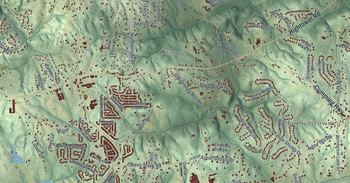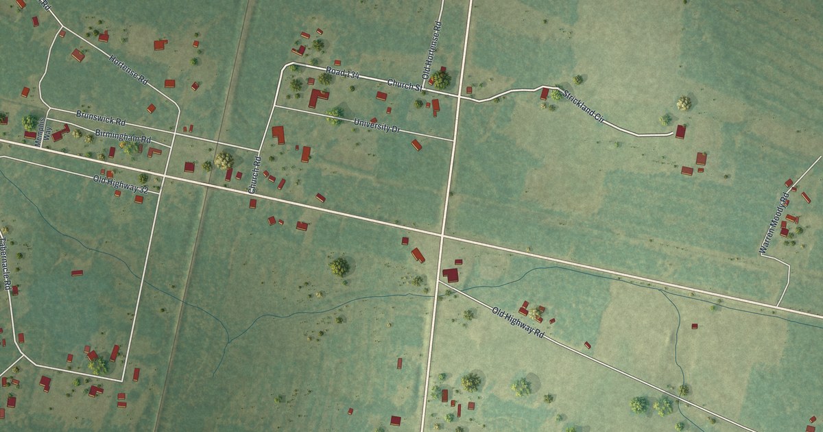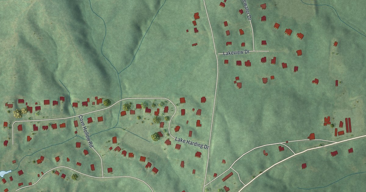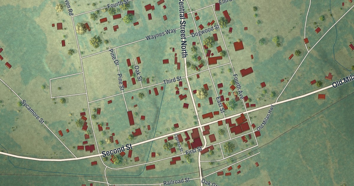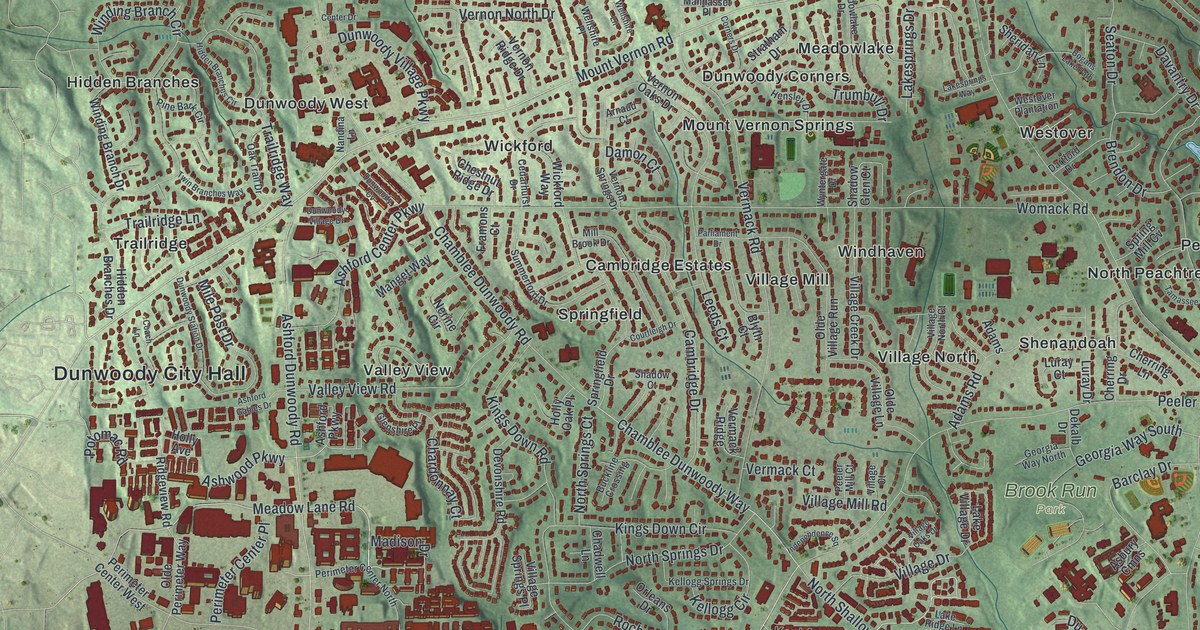
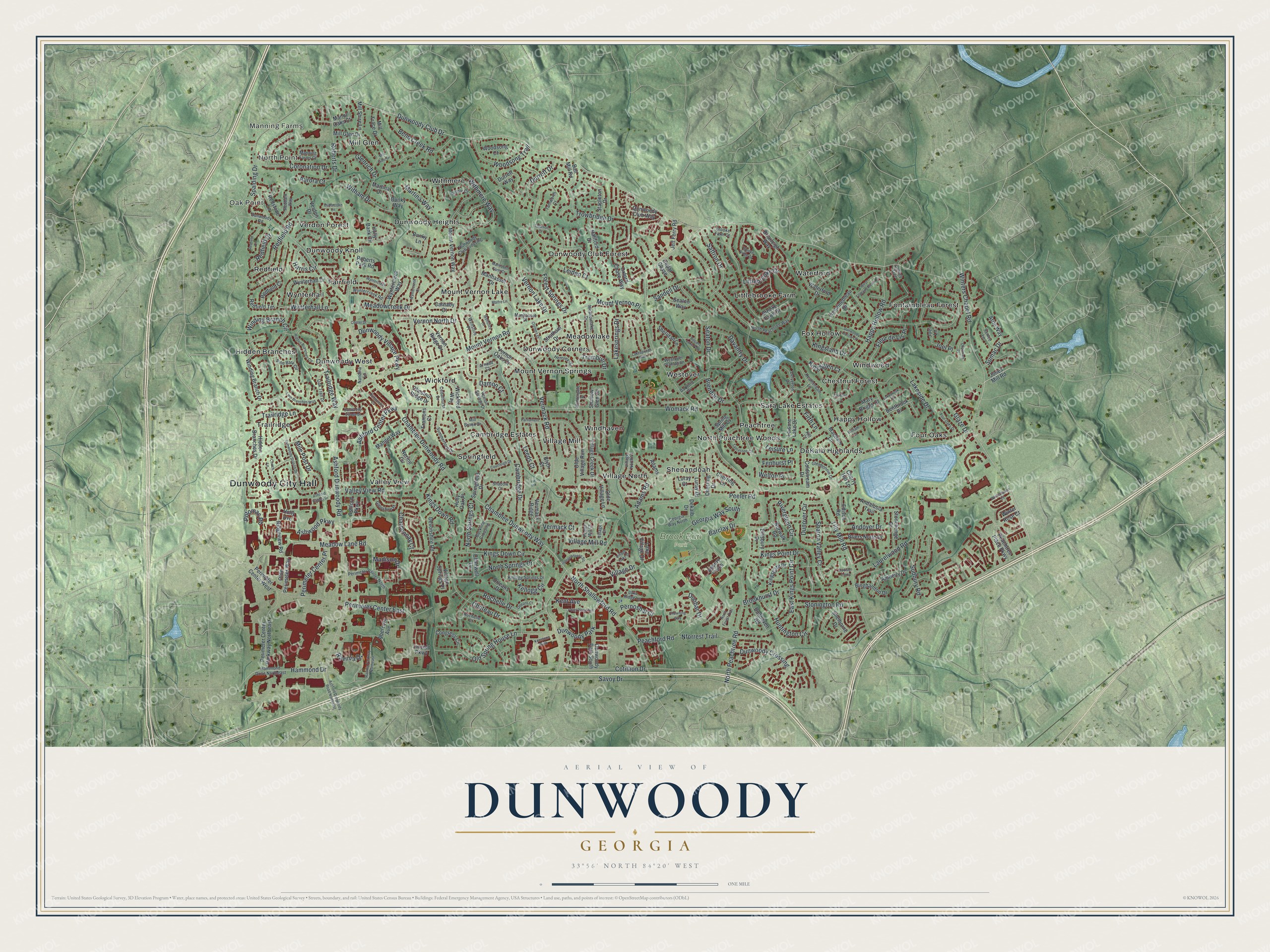
This beautifully detailed map of Dunwoody, Georgia was created in 2026 using aerial imagery combined with modern topographical, census, street and landmark data. It’s a one-of-a-kind view of Dunwoody that combines accurate data with a vintage aesthetic. The map shows every building in its true location, many of the roads carry their names, and the shaded topographic relief shows the shape of the land.
Explore an aerial view of Dunwoody, Georgia
On the map you’ll find Dunwoody City Hall, Manning Farms, Oak Point, North Point, Chestnut Forest, DeKalb Highlands, and Brook Run Park, along with Mount Vernon Road, Winters Chapel Road, Meadow Lane Road, Madison Drive, and more. If you look closely you can even find your house accurately drawn in its correct location. Zoom in on the preview to look for yours.
Did You Know?
Dunwoody honors Major Charles Dunwody, who spelled his name with a single o. The extra letter crept in when the name was misspelled on a bank note. Dunwody fought for the Confederacy and came home to Roswell after the Civil War.
Take a closer look at the Dunwoody map
Names on this map
These names are printed on this map.
Places: Dunwoody City Hall, Manning Farms, Oak Point, North Point, Brook Run Park, Cambridge Estates, Chestnut Forest, DeKalb Highlands, Dunwoody Club Forest, Dunwoody Corners, Dunwoody Heights, Dunwoody Knoll, Dunwoody West, Fairfield, Fontainbleau Forest, Four Oaks, Fox Hollow, Happy Hollow, Hidden Branches, Littlebrooke Farm, Meadowlake, Mill Glen, Mount Vernon Lake, Mount Vernon Springs, North Peachtree Woods, Peachtree, Redfield, Sara Lake Estates, Shenandoah, Springfield, Trailridge, Valley View, Verdon Forest, Village Mill, Village North, Waterford, Westover, Wickford, Windhaven, Windwood, Withmere, Wynterhall and Dunwoody Park.
Streets and roads: Mount Vernon Road, Winters Chapel Road, Meadow Lane Road, Madison Drive, Dunwoody Club Drive, Saffron Drive, Chamblee Dunwoody Way, Cotillion Drive, Chamblee Dunwoody Road, North Peachtree Road, Tilly Mill Road, Peeler Road.
More street names, A to Z
Abercorn Avenue, Adams, Adams Road, Amberly Drive, Andalusia Trail, Andover Drive, Arnaud Court, Arrie Way, Asbury Cmns, Ashford Center Parkway, Ashford Dunwoody Road, Ashford Dunwoody Road Northeast, Ashford Gables Drive, Ashford Parkway, Ashley Trce, Ashwood Parkway, Aurora Court, Ball Mill Road, Barclay Drive, Bend Creek Road, Bentbrook Drive, Biddle Court, Binghamton Drive, Blyth Court, Bogans Lake Path, Brendon Drive, Briarleigh Way, Briers North Drive, Brooke Farm Court, Brooke Farm Drive, Brooke Ridge Drive, Brookhurst Drive, Buckline Crossing, Bunky Lane, Bunky Way, Cambridge Drive, Carnaby Court, Cedar Chase, Cedarhurst Drive, Center Drive, Chadwell Lane, Chardonnay Court, Charmant Place, Chateau Drive, Cherring Drive, Cherring Lane, Cherry Hill Lane, Chestnut Ridge Drive, Chowning Way, Coach Lane, Coldstream Drive, Congress Circle, Corners Drive, Coronation Drive, Courtleigh Drive, Damon Court, Dartford Drive, Davantry Drive, Dekalb Drive, Delverton Drive, Devonshire Road, Dunbar Drive, Dunbrooke Lane, Dunhaven Road, Dunover Circle, Dunwoody Club Crossing, Dunwoody Club Way, Dunwoody Crossing, Dunwoody Cv, Dunwoody Hollow Drive, Dunwoody Park South, Dunwoody Road, Dunwoody Station Drive, Dunwoody Village Drive, Dunwoody Village Parkway, Durrett Drive, Durrett Way, East Kings Point Circle, Edison Road, Ellisbury Drive, Fenhurst Place, Firth Lane, Fleur de Lis Place, Fontainebleau Drive, Forest Springs Drive, Four Oaks Drive, Foxboro Lane, Framons Court, Georgia Way North, Georgia Way South, Glaze Drive, Glenbonnie Drive, Glenrich Drive, Glenshire Place, Hallford Drive, Hammond Drive, Hammond Drive Northeast, Happy Hollow Road, Harris Circle, Heatherdale Lane, Hensley Drive, Hidden Branches Circle, Hidden Branches Drive, Holly Avenue, Holly Bank Circle, Holly Oak Place, Huntington Circle, Independence Square, Jett Ferry Road, Joel Lane, Joel Place, Jones Mill Road, Kellogg Circle, Kellogg Springs Drive, Kenstone Walk, Kent Avenue, Kilt Court, Kings Down Circle, Kings Down Road, Kingsgate Drive, Kingsglen Court, Kingsland Drive, Kings Point Drive, Lakebrook Court, Lake Ridge Lane, Lakeside Drive, Lakesprings Drive, Lakesprings Way, Lake Village Drive, Laurelwood Road, Leeds Court, Leiden Court, Leisure Lake Drive, Leisure Lane, Lincoln Parkway, Littlebrooke Drive, Luray Court, Luray Drive, Macbain Lane, Madison Cmns, Malfre Lane, Manget Way, Manhasett Farm Court, Manhasset Drive, Manhasset Place, Manning Farms Court, Manor Oaks Court, Martina Drive, Martina Way, Mary Briggs Court, Meadowcreek Drive, Meadowlake Drive, Mile Post Drive, Mill Brook Drive, Mill Gate Drive, Mill Glen Drive, Mill Shire Lane, Mill Trace Drive, Mount Vernon Place, Mount Vernon Way, Nandina Lane, Nerine Circle, Nforrest Trail, North Forest Trail, North Peachtree Way, North Shallowford Road, North Springs Court, North Springs Drive, Norwalk Road, Oak Trail Drive, Olde Perimeter Way, Olde Village Lane, Olde Village Run, Old Spring House Lane, Orleans Court, Orleans Drive, Oxford Chase Way, Parliament Drive, Peachford Road, Peachtree Place Parkway, Peeler Mill Court, Perimeter Center East, Perimeter Center North, Perimeter Center Parkway Northeast, Perimeter Center Place, Perimeter Center West, Pernoshal Court, Pine Bark Circle, Point Place Avenue, Potomac Road, Ravinia Drive, Ravinia Parkway Northeast, Redbark Way, Redfield Circle, Redfield Court, Redfield Drive, Redfield Road, Redfield Terrace, Redstone Lane, Ridgeview Road, Riverglenn Circle, Roberts Drive, Roberts Park Road, Rochelle Court, Rochelle Drive, Sandell Drive, Sanlee Lane, Savoy Drive, Seaton Drive, Seaton Way, Shadow Court, Shadow Glen Court, Sharon Valley Court, Shelborne Drive, Sheridan Lane, Spalding Drive, Springfield Drive, Spring Mill Cv, Stapleton Drive, Stonehenge Drive, Stonington Road, Stratham Drive, Sudbury Road, Sumac Drive, Summerford Drive, Tamassee Court, Tamworth Court, Tolleson Court, Trailridge Lane, Trailridge Way, Trowbridge Drive, Trumbull Drive, Twin Branches Way, Valley View Road, Verdon Drive, Vermack Court, Vermack Ridge, Vermack Road, Vernon Lake Drive, Vernon North Drive, Vernon Oaks Drive, Vernon Ridge Drive, Vernon Springs Drive, Village Court, Village Creek Drive, Village Drive, Village Mill Road, Village North Court, Village Oaks Drive, Village Springs Place, Waterford Drive, Wellshire Lane, Wellshire Place, Welton Place, West Fontainebleau Drive, Westover Plantation, Wickford Way, William Court, Winding Branch Circle, Winding Branch Drive, Winterhaven Court, Winter Rose Court, Witham Drive, Withmere Way, Womack Road, Woodsong Court, Woodsong Trail, Wyntercreek Court, Wyntercreek Lane, Wyntercreek Road, Wyntercreek Way, Wyntergate Drive, Wynterhall Drive, Wynterhall Lane.
See it on a wall
The Dunwoody map as a framed print. Swipe for more.


This beautifully detailed map of Dunwoody makes an attractive addition to your office, library, or den, and it can even be used to teach children the geography and history of the area. It also makes a great gift for someone who left Dunwoody and still calls it home. When you’re done exploring, click here to get your copy of the Dunwoody map.