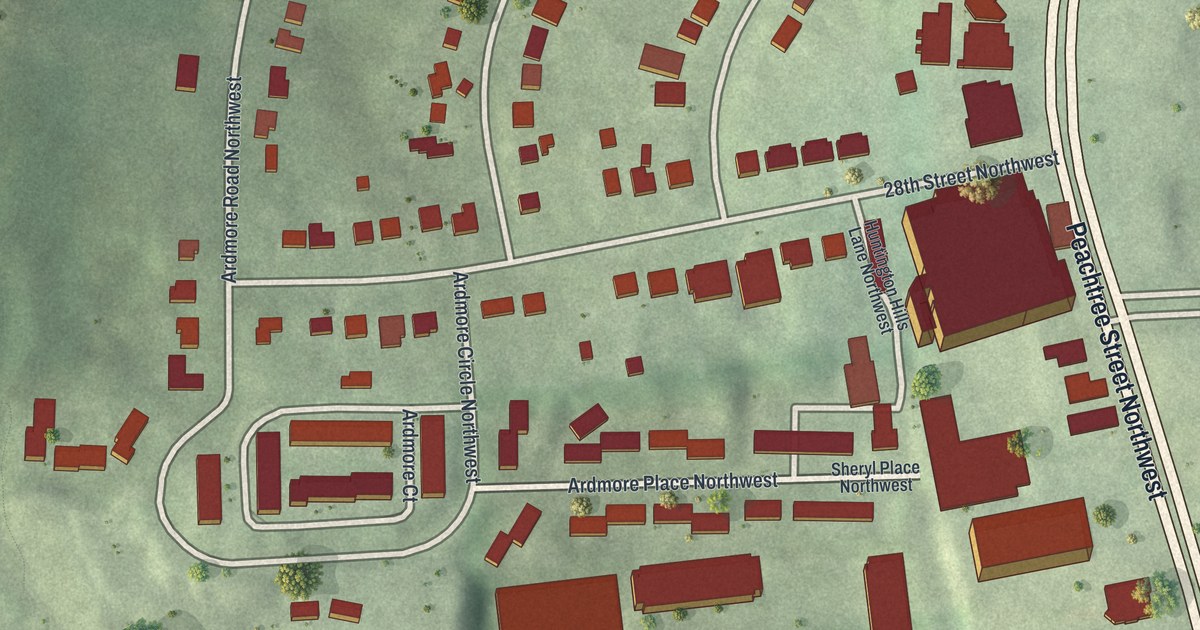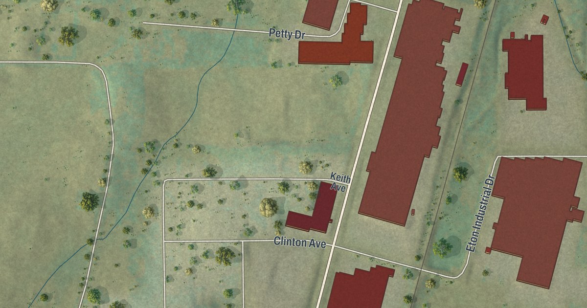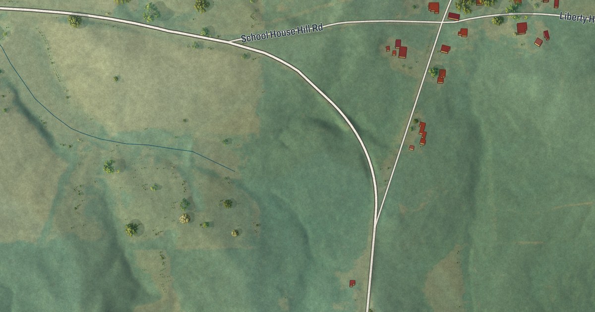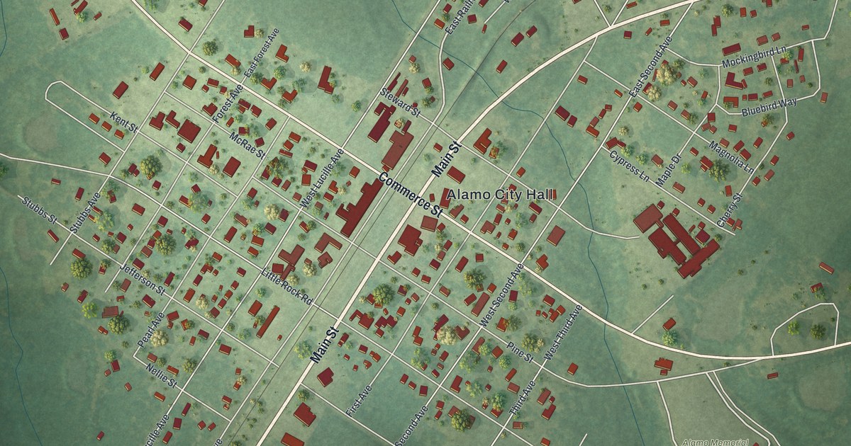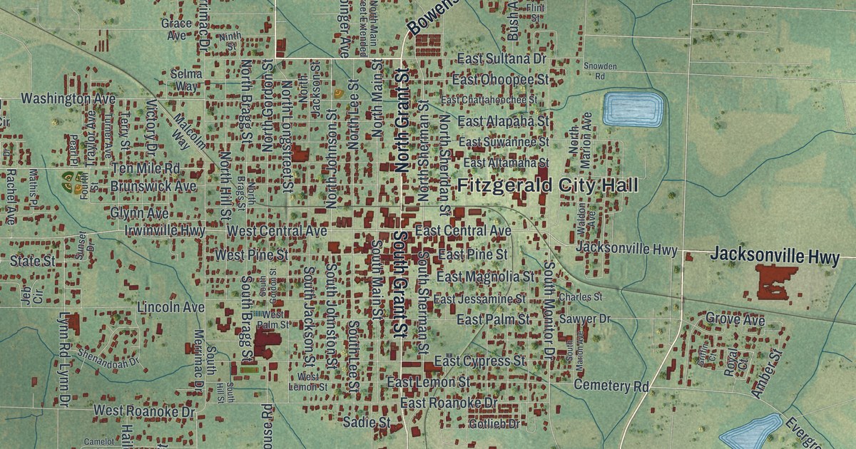
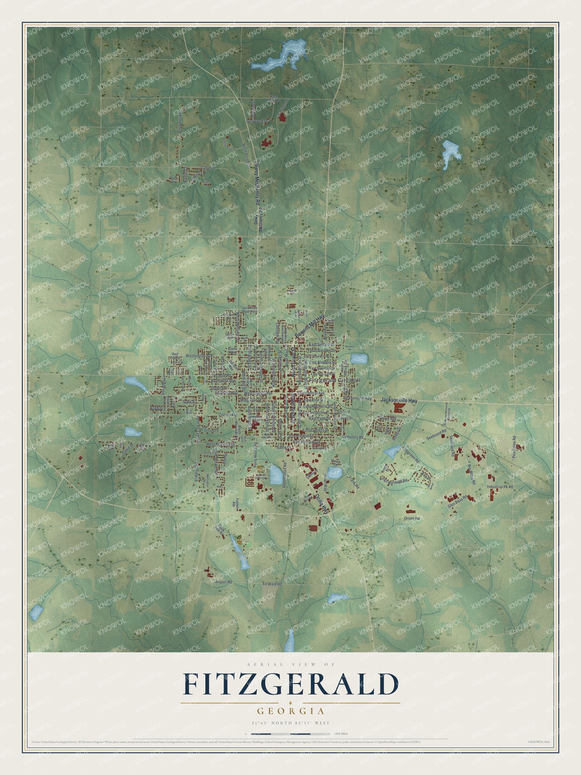
This beautifully detailed map of Fitzgerald, Georgia was created in 2026 using aerial imagery combined with modern topographical, census, street and landmark data. It’s a one-of-a-kind view of Fitzgerald that combines accurate data with a vintage aesthetic. The map shows every building in its true location, many of the roads carry their names, and the shaded topographic relief shows the shape of the land.
Explore an aerial view of Fitzgerald, Georgia
On the map you’ll find Fitzgerald City Hall, Paulk Park, and Sports Park, along with Grant Street, Dewey McGlamry Road, Ocilla Highway, Jacksonville Highway, and more. If you look closely you can even find your house accurately drawn in its correct location. Zoom in on the preview to look for yours.
Did You Know?
Philander H. Fitzgerald, an Indianapolis newspaper editor, founded the city in 1895. He had been a Union drummer boy in the Civil War. He built the town as a home for veterans of both armies, and most of its first 2700 citizens were Union men.
Take a closer look at the Fitzgerald map
Names on this map
These names are printed on this map.
Places: Fitzgerald City Hall, Paulk Park and Sports Park.
Streets and roads: North Grant Street, Dewey McGlamry Road, South Grant Street, Ocilla Highway, Jacksonville Highway, Bowens Mill Highway, East Central Avenue, North Main Street, West Central Avenue, South Monitor Drive, Peachtree Road, North Sherman Street.
More street names, A to Z
Airport Road, Amber Street, Anderson Memorial Church Road, Appomattox Road, Arnold Drive, Azalea Lane, Brentwood Drive, Brunswick Avenue, Bull Run Road, Bush Avenue, Camelot Court, Cecil Circle, Cemetery Road, Charles Street, Clare Road, Colony Drive, David Drive, Deerrun Street, Deerwood Drive, Dewy McGlamry Road, Duane Drive, Dylan Court, East Alapaha Street, East Altamaha Street, East Chattahoochee Street, East Cypress Street, East Jessamine Street, East Lemon Street, East Magnolia Street, East Ohoopee Street, East Palm Street, East Pine Street, East Roanoke Drive, East Sultana Drive, East Suwannee Street, Ed Ward Road, El Harris Road, Elm Street, Ericas Court, Evergreen Road, Flint Street, Fourth Street, Franklin Avenue, Frank Road, Glen Bass Road, Glynn Avenue, Gotlieb Drive, Grace Avenue, Griffin Court, Grove Avenue, Haile Booker Road, Hunting Ridge Drive, Industrial Pk Road, Irwinville Highway, Jack Allen Road West, Jc Hunter Drive, Jeb Circle, Justice Avenue, Kaitlyn Court, Kay Drive, Kings Borough Road, Lincoln Avenue, Lobinger Avenue, Lynn Drive, Lynn Road, Malcolm Way, Manor Drive, Mathis Place, Ned Merser, Ninth Street, Nora Morris Road, Norman Dorming Drive, North Bragg Street, North Brags Street, North Gordon Street, North Hill Street, North Jackson Street, North Johnson Street, North Lee Street, North Longstreet Street, North Main Street Extended, North Marion Avenue, North Merrimac Drive, North Pointe Drive, North Sheridan Street, Oriole Road, Paulk Park Road, Pearl Place, Pecan Boulevard, Perry House Road, Pierce Circle, Preston Drive, Quail Trail, Rachel Avenue, Red Bud Road, Rip Wiley Road, Rose Lane, Royal Court, Ruby Road, Sadie Street, Satilla Street, Sawyer Drive, Seaboard Road, Seeboard Road, Selma Way, Shenandoah Drive, Sims Circle, Snowden Lane, Snowden Road, South Bragg Street, South Gordon Street, South Hill Street, South Jackson Street, South Johnston Street, South Lee Street, South Main Street, South Marion Avenue, South Merrimac Drive, South Sherman Street, State Street, Stuart Way, Sunset Drive, Ten Mile Road, Terry Street, Trace Lane, Traylor Avenue, Tripps Lane, Turner Avenue, Victory Drive, Waldon Avenue, Washington Avenue, Weldon Way, Wellington Drive, West Lemon Street, West Palm Street, West Pine Street, West Roanoke Drive, Wilson Avenue.
See it on a wall
The Fitzgerald map as a framed print. Swipe for more.


This beautifully detailed map of Fitzgerald makes an attractive addition to your office, library, or den, and it can even be used to teach children the geography and history of the area. It also makes a great gift for anyone with Fitzgerald roots. When you’re done exploring, click here to get your copy of the Fitzgerald map.