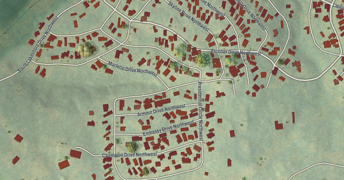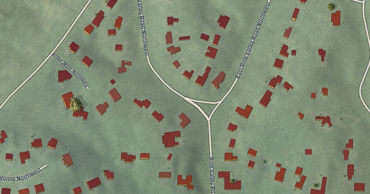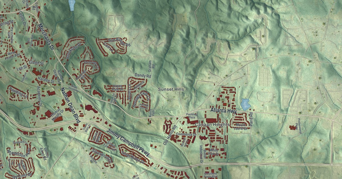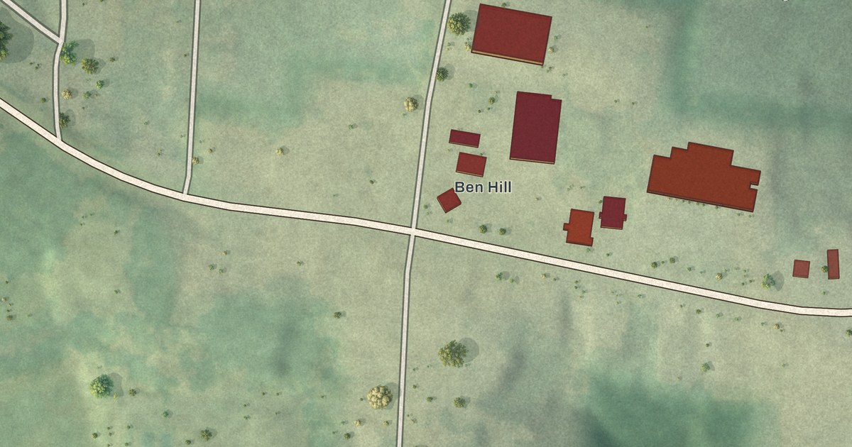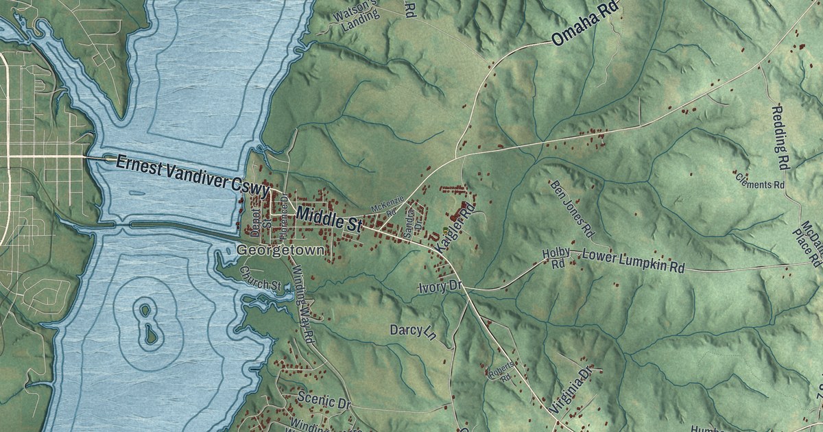
This beautifully detailed map of Georgetown-Quitman County, Georgia was created in 2026 using aerial imagery combined with modern topographical, census, street and landmark data. It’s a one-of-a-kind view of Georgetown-Quitman County that combines accurate data with a vintage aesthetic. The map shows every building in its true location, many of the roads carry their names, and the shaded topographic relief shows the shape of the land.
Explore an aerial view of Georgetown-Quitman County, Georgia
On the map you’ll find Morris, Georgetown, Union, Hatcher, and Crossroads, along with Middle Street, Omaha Road, Eufaula Highway, Upper Morris Road, and more. If you look closely you can even find your house accurately drawn in its correct location. Zoom in on the preview to look for yours.
Did You Know?
Quitman County was formed in 1858 from parts of Randolph and Stewart counties. It was named for General John A. Quitman of Mississippi. He had won distinction as an officer in the war with Mexico. That’s from the 1901 Georgia Historical and Industrial.
Take a closer look at the Georgetown-Quitman County map
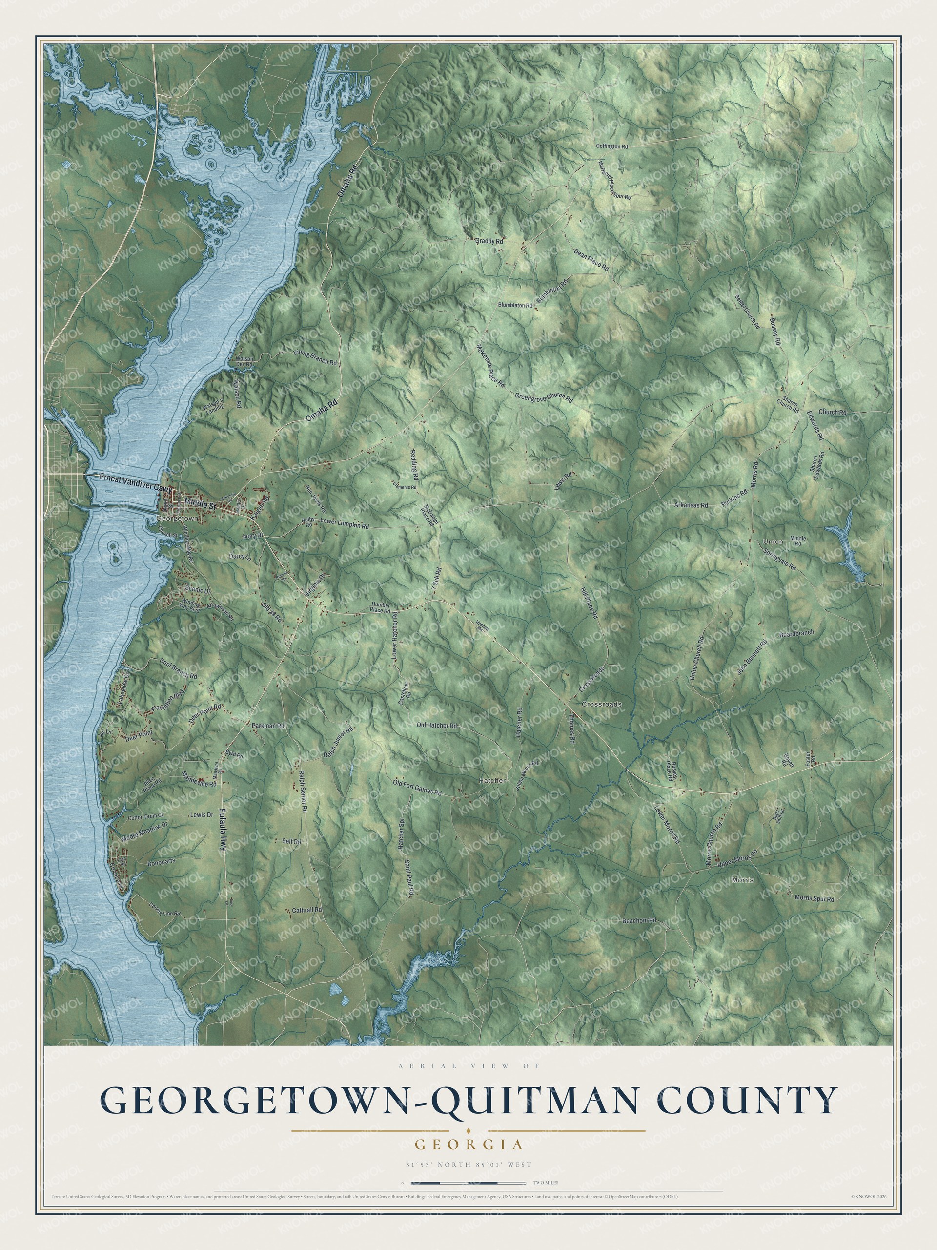
Names on this map
These names are printed on this map.
Places: Morris, Georgetown, Union, Hatcher and Crossroads.
Streets and roads: Ernest Vandiver Causeway, Middle Street, Omaha Road, Eufaula Highway, Upper Morris Road, Ralph Senior Road, Old Hatcher Road, Lower Lumpkin Road, McKensie Place Road, Beachom Road, Arkansas Road, Morris Church Road.
More street names, A to Z
7 Sch Road, Allen Place Road, Arrowhead Road, Ben Jones Road, Bethel Church Road, Blumbleton Road, Boardbranch, Bonoparts, Boyett Road, Bumbleton Road, Bussey Place Road, Bussey Road, Byrd Road, Castellow Road, Cathrall Road, Church Road, Church Street, Clements Road, Coffington Road, Cool Branch Road, Corsica Place, Cotton Drum Cv, County Line Road, Cross Roads, Darcy Lane, Dean Place Road, Deer Point, Deer Point Road, Depot Street, Edwards Road, Elba Road, Florence Drive, Foster Road, Graddy Road, Greengrove Church Road, Hatcher Road, Hatcher Spr, Hill Place Road, Holby Road, Humber Place Road, Ivory Drive, John Bennett Road, Joy Lane, Julian Moore Road, Kaigler Road, Lakeview Drive, Lewis Drive, Lewis Road, Lower Hatcher Road, Lower Morris Road, Lucy Lane, Mandeville Road, Mandival Road, McDaniel Place Road, McDaniel Place Spur Road, McKenzie Road, Middle Road, Moore Meadow Drive, Morris Road, Morris Spur Road, Night Shift Road, Old 39 Road, Old Fort Gaines Road, Parkman Road, Perkins Road, Plantation Boulevard, Ralph Junior Road, Redding Road, Roberts Road, Saint Paul Road, Sandra Drive, Scenic Drive, Self Road, Sharon Church Road, Sharon Edwards Road, Springvale Road, Thomas Road, Union Church Road, Upshaw Road, Vining Branch Road, Virginia Drive, Watson's Landing, Watson Dev Road, Watson Road, Winding Way Boulevard, Winding Way Road.
See it on a wall
The Georgetown-Quitman County map as a framed print. Swipe for more.


This beautifully detailed map of Georgetown-Quitman County makes an attractive addition to your office, library, or den, and it can even be used to teach children the geography and history of the area. It also makes a great gift for anyone who grew up in Georgetown-Quitman County or moved away. When you’re done exploring, click here to get your copy of the Georgetown-Quitman County map.