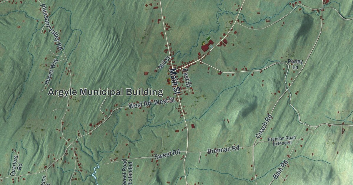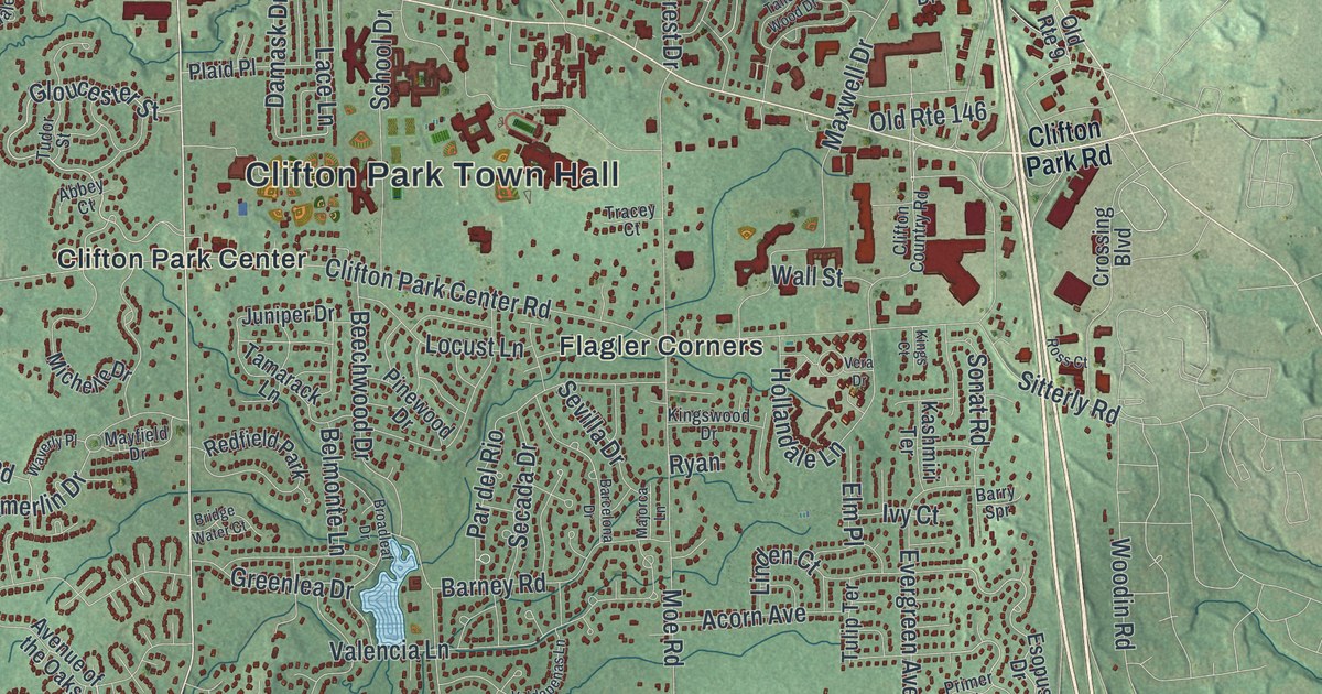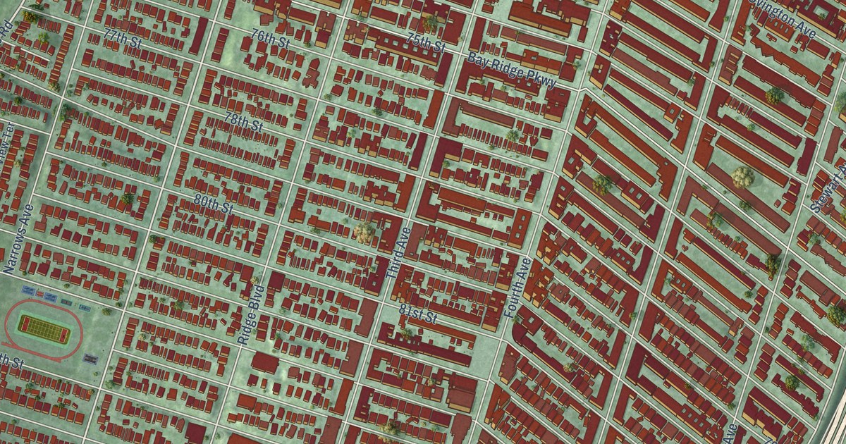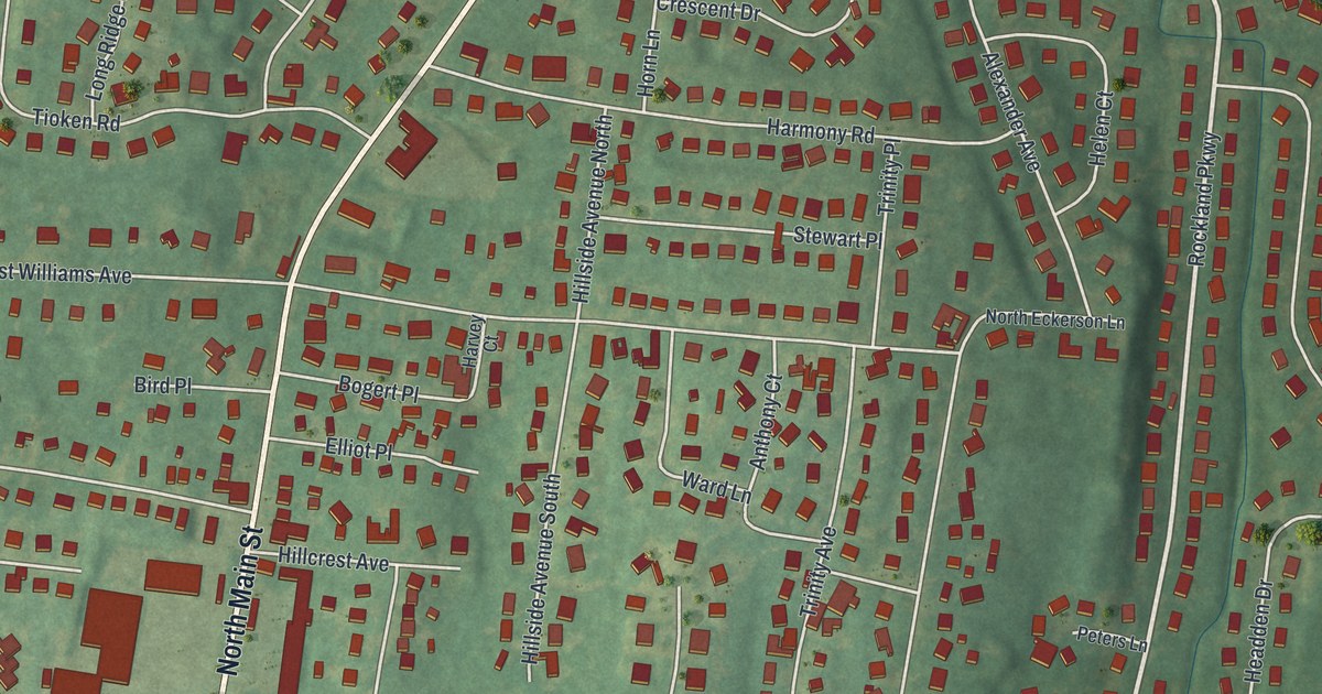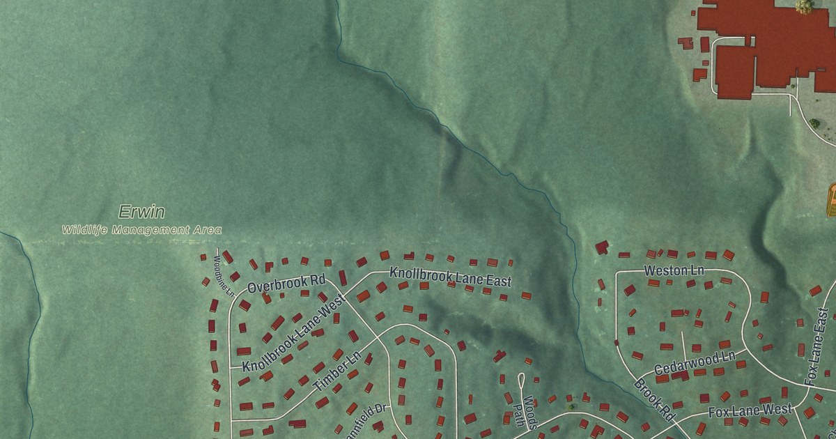
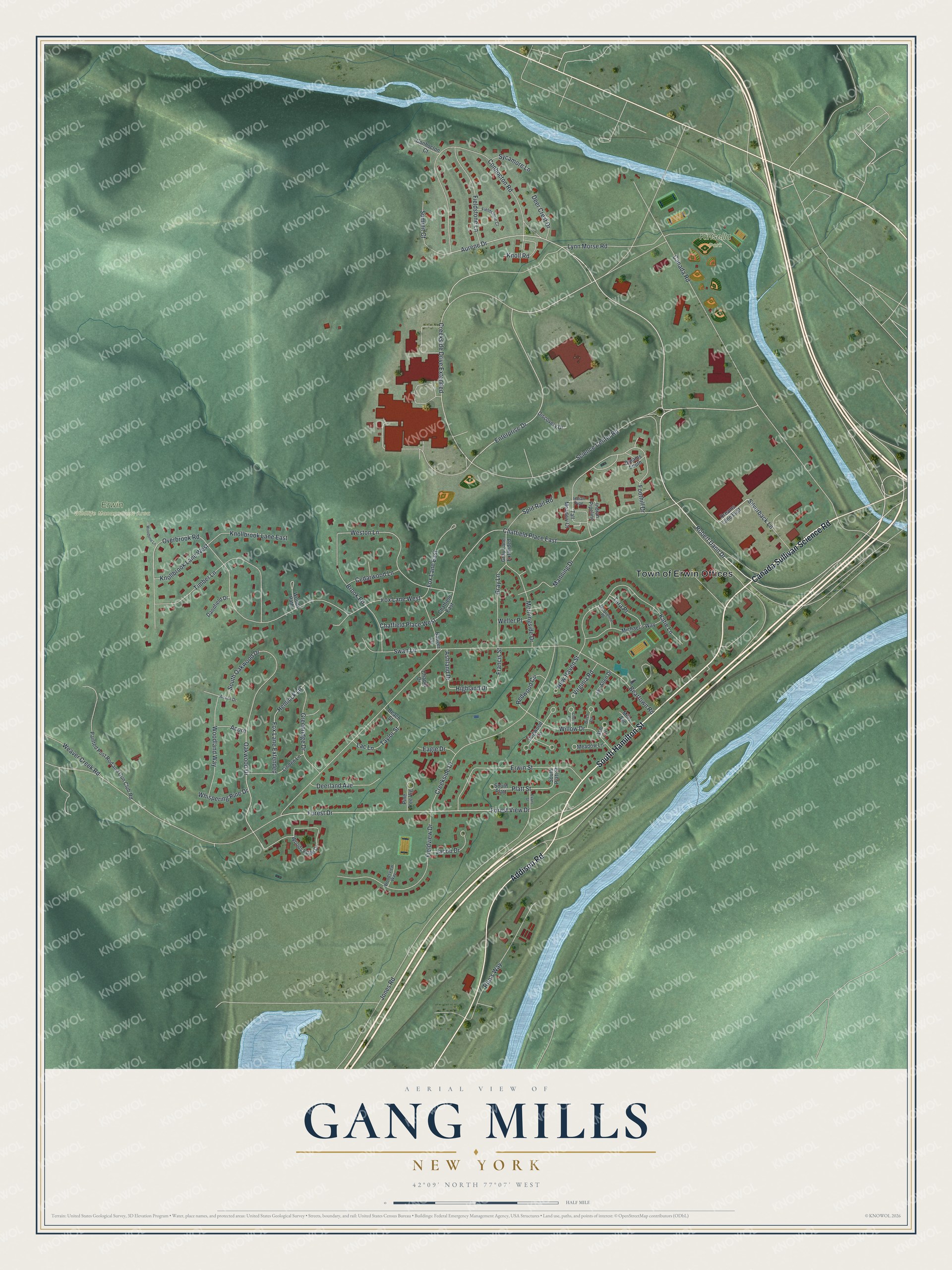
This beautifully detailed map of Gang Mills, New York was created in 2026 using aerial imagery combined with modern topographical, census, street and landmark data. It’s a one-of-a-kind view of Gang Mills that combines accurate data with a vintage aesthetic. The map shows every building in its true location, many of the roads carry their names, and the shaded topographic relief shows the shape of the land.
Explore an aerial view of Gang Mills, New York
On the map you’ll find Erwin Wildlife Management Area and Kinsella Park, along with Canada Sullivan Science Road, Hamilton Street, Addison Road, Robert Dann Drive, Aurene Drive, and more. If you look closely you can even find your house accurately drawn in its correct location. Zoom in on the preview to look for yours.
Did You Know?
Gang Mills is a hamlet in the town of Erwin, southwest of Corning. In the mid 1800s, gang-saw mills cut lumber there. Those busy sawmills are where the hamlet got its name.
Take a closer look at the Gang Mills map
Names on this map
These names are printed on this map.
Places: Town of Erwin Offices, Erwin Wildlife Management Area and Kinsella Park.
Streets and roads: Canada Sullivan Science Road, South Hamilton Street, Addison Road, Robert Dann Drive, Aurene Drive, Enterprise Drive, Science Center Road, Creekside Drive Extended, Chatfield Place East, Foothill Drive, Silverback Lane, Weston Lane.
More street names, A to Z
Acorn, Acorn Drive, Ash Circle, Ashland Drive, Badger Lane, Beach Street, Beartown Road, Birch Circle, Brook Road, Canada Road, Cedarwood Lane, Chapel Drive, Chatfield East, Chatfield Place West, Cherry Circle, Conhocton Court, Conhocton Road, Creekside Drive, Dannfield Drive, Deer Crest Drive, Deerland Avenue, Discovery Drive, Dogwood Lane, Dreams Lane East, Dreams South, Eagle Drive, Erwin Street, Evans Street, Fieldstone Court, Fieldstone Lane, Fieldview Drive, Forest Drive, Forest View Drive, Fox Lane East, Fox Lane Extended, Fox Lane West, Francis Street, Gray Lane, Gray Lane Extended, Greenridge Drive, Hemlock Lane, Highland Drive, Indian Pipe, Indian Pipeline, Jacob Drive, Jacqueline Drive, Jay Allen Drive, Jones Road, Katie Lane, Knollbrook Lane East, Knollbrook Lane West, Knoll Road, Lac Lane, Linden Lane, Lynn Morse Road, Manning Drive, Meadow Lane, Michael's Way, Mills Avenue, Morningside Drive, New Haven Street, Oakwood Drive, Overbrook Road, Painted Post Rod and Gun Club Road, Pine Tree Vlg, Platt Street, Redwood Circle, Rita's Way, South Oakwood Drive, South Platt, South Platt Street, Split Rail Road, Summit Court, Swan Lane, Sycamore Lane, Tall Meadow Court, Tara Place, Taylor Street, Timber Lane, Virginia Road, Weaver Creek Road, Weller Place, Whispering Pine Drive, Willow Drive, Woodbine Lane, Woodland Way, Woods Edge Drive, Woods Path, Woodsview Way.
See it on a wall
The Gang Mills map as a framed print. Swipe for more.


This beautifully detailed map of Gang Mills makes an attractive addition to your office, library, or den, and it can even be used to teach children the geography and history of the area. It also makes a great gift for someone who left Gang Mills and still calls it home. When you’re done exploring, click here to get your copy of the Gang Mills map.