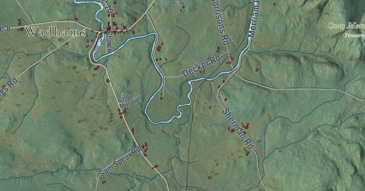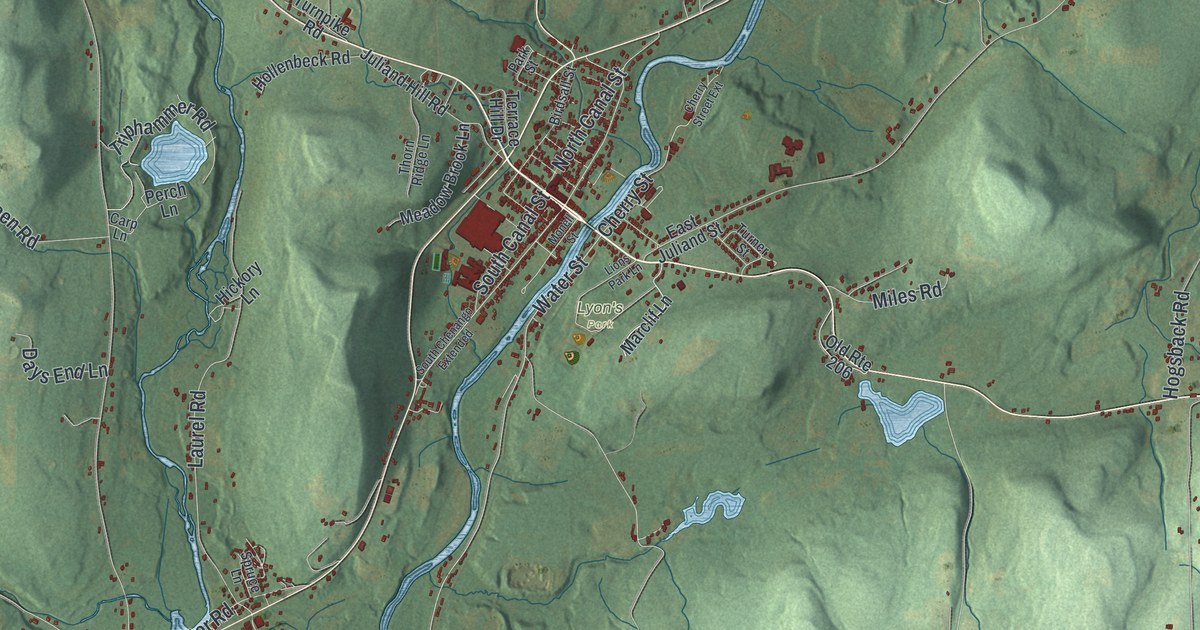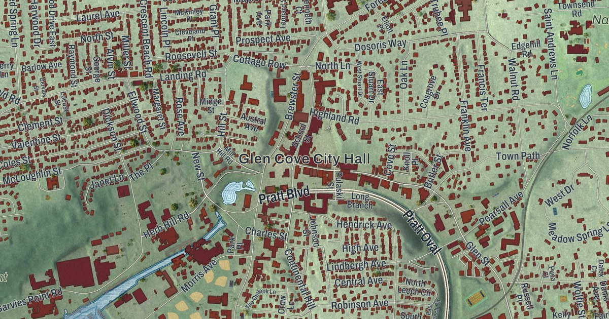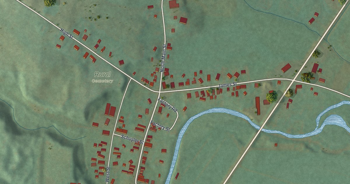
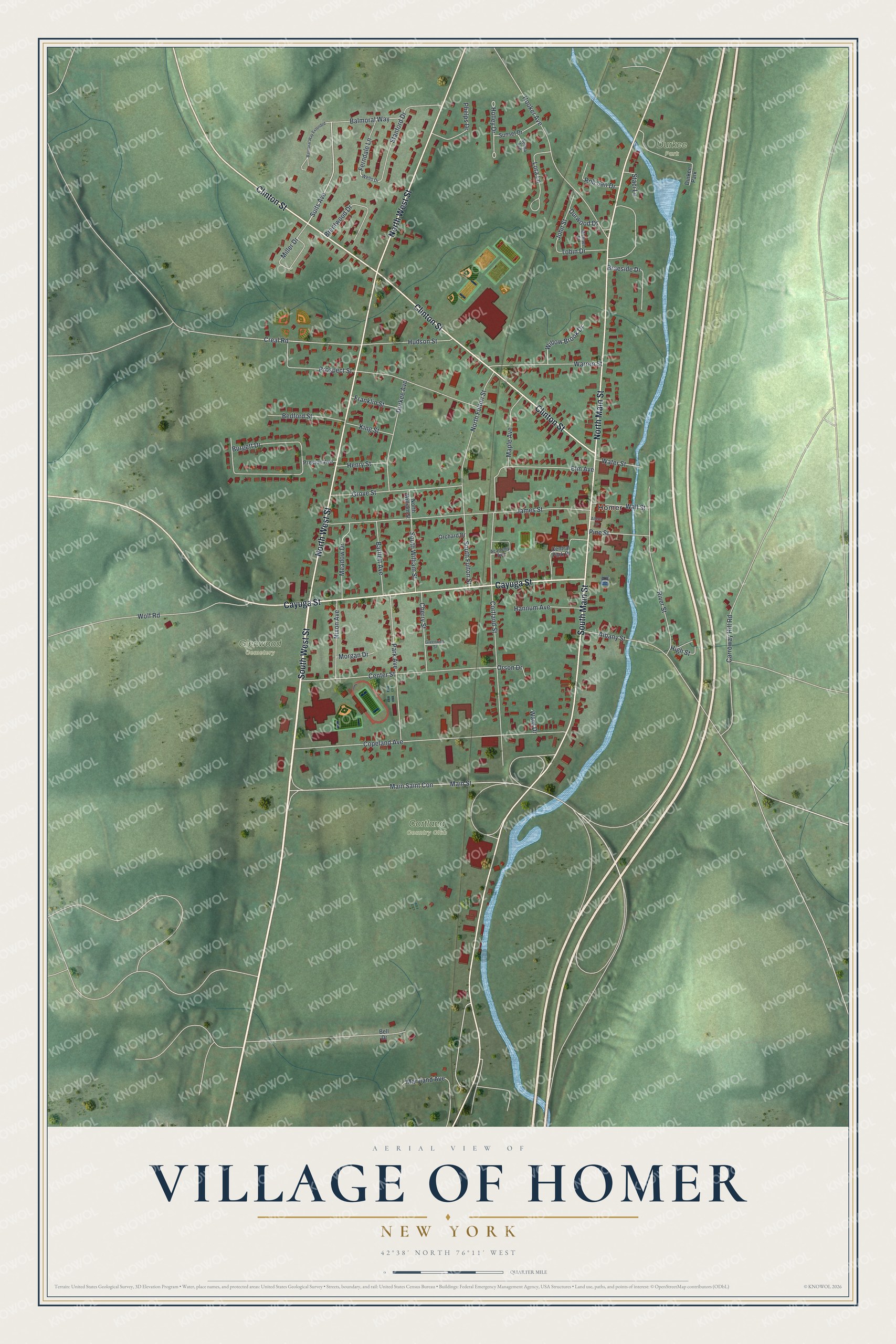
This beautifully detailed map of the Village of Homer, New York was created in 2026 using aerial imagery combined with modern topographical, census, street and landmark data. It’s a one-of-a-kind view of the Village of Homer that combines accurate data with a vintage aesthetic. The map shows every building in its true location, many of the roads carry their names, and the shaded topographic relief shows the shape of the land.
Explore an aerial view of the Village of Homer, New York
On the map you’ll find Durkee Park and Glenwood Cemetery, along with West Street, Clinton Street, Main Street, Cayuga Street, Suits Avenue, and more. If you look closely you can even find your house accurately drawn in its correct location. Zoom in on the preview to look for yours.
Did You Know?
Homer was founded in 1791 by Amos Todd along with his sister Rhoda and her husband, Joseph Beebe. The land lay in the old Central New York Military Tract, where a clerk gave the township its name. He named it for the ancient poet Homer, and the village took the same name.
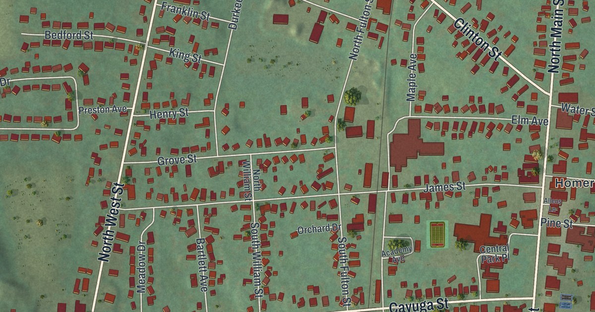
Take a closer look at the Village of Homer map
Names on this map
These names are printed on this map.
Places: Cortland Country Club, Durkee Park, Glenwood Cemetery and Homer.
Streets and roads: South West Street, North West Street, Clinton Street, North Main Street, Cayuga Street, South Main Street, Suits Avenue, Copeland Avenue, James Street, Cortland Street, Prospect Street, Albany Street.
More street names, A to Z
Academy Avenue, Allens Lane, Balmoral Way, Balmoral Way Extended, Bartlett Avenue, Bedford Street, Bell Drive, Braeside Drive, Brentwood Drive, Burgett Drive, Carroway Hill Road, Center Street, Central Park Place, Cherry Street, Creal Road, Durkee Avenue, Durwood Drive, Elm Avenue, Ferndale Lane, Franklin Street, Greenwich Street, Grove Street, Hannum Avenue, Henry Street, High Street, Holley Drive, Hooker Avenue, Hudson Street, John Street, King Street, Lora Lane, Main Saint Con, Main Street, Maple Avenue, Maryland Avenue, Meadow Drive, Michael Street, Miller Drive, Morgan Drive, Nixon Avenue, North Fulton Street, North William Street, Orchard Drive, Orson Drive, Park Avenue, Phelps Drive, Pine Street, Preston Avenue, River Street, Rob San Drive, Selma Avenue, South Fulton Street, South William Street, Staci Lane, Stanford Drive, Sunset Drive, Tobin Drive, Wall Street, Ward Drive, Warren Street, Water Street, Wells Drive, Willow Brook Drive, Wolf Road.
See it on a wall
The Homer map as a framed print. Swipe for more.


This beautifully detailed map of the Village of Homer makes an attractive addition to your office, library, or den, and it can even be used to teach children the geography and history of the area. It also makes a great gift for anyone who grew up in the Village of Homer or moved away. When you’re done exploring, click here to get your copy of the Village of Homer map.