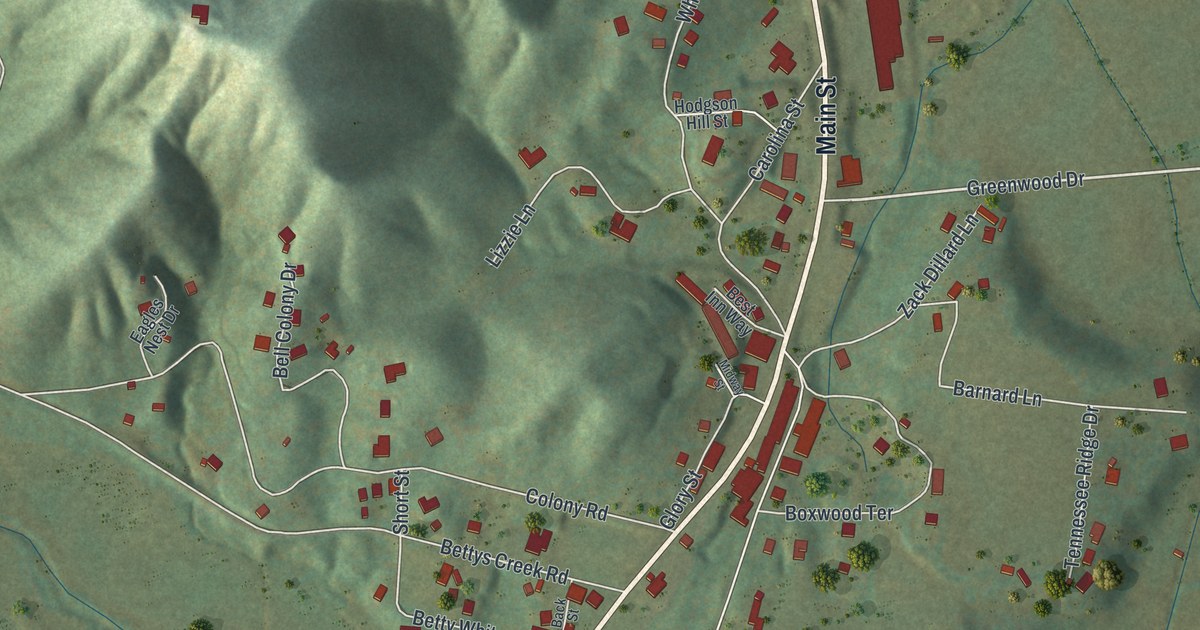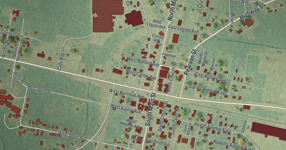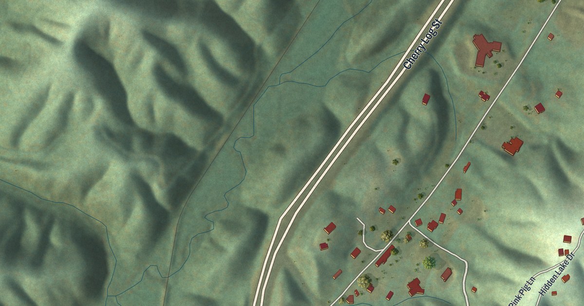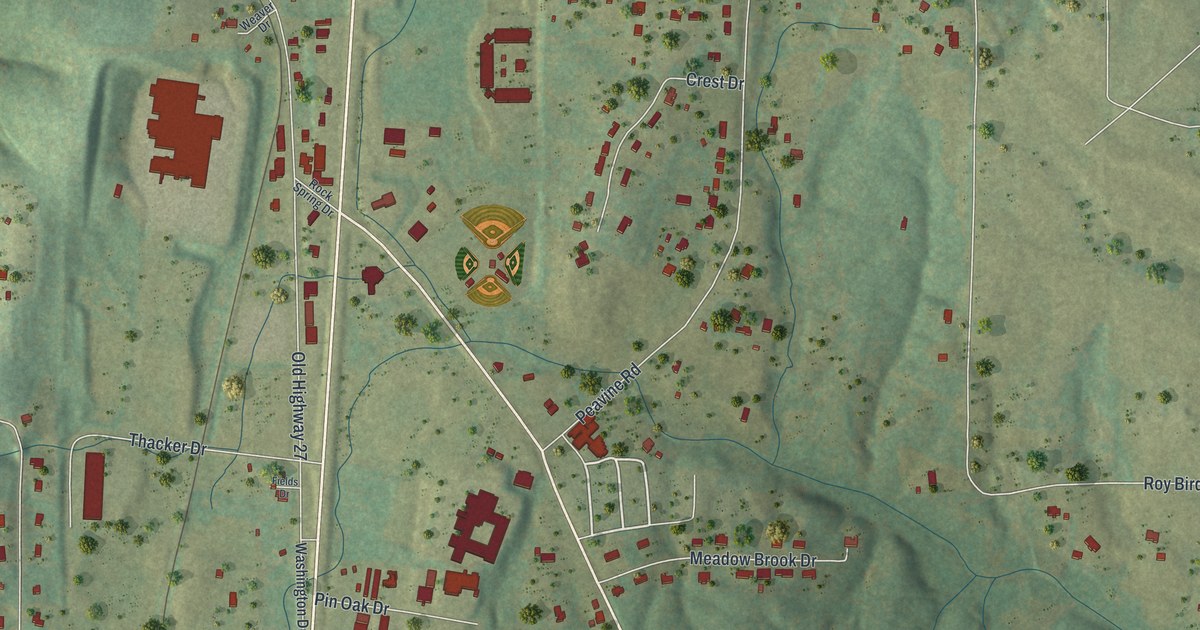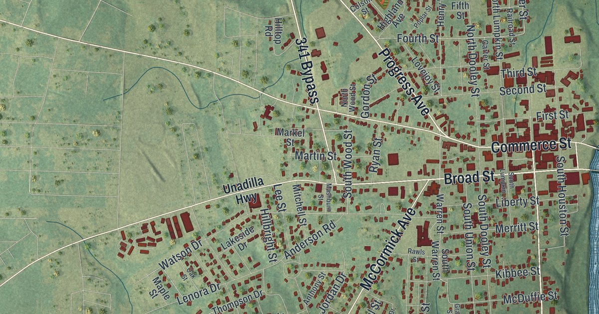
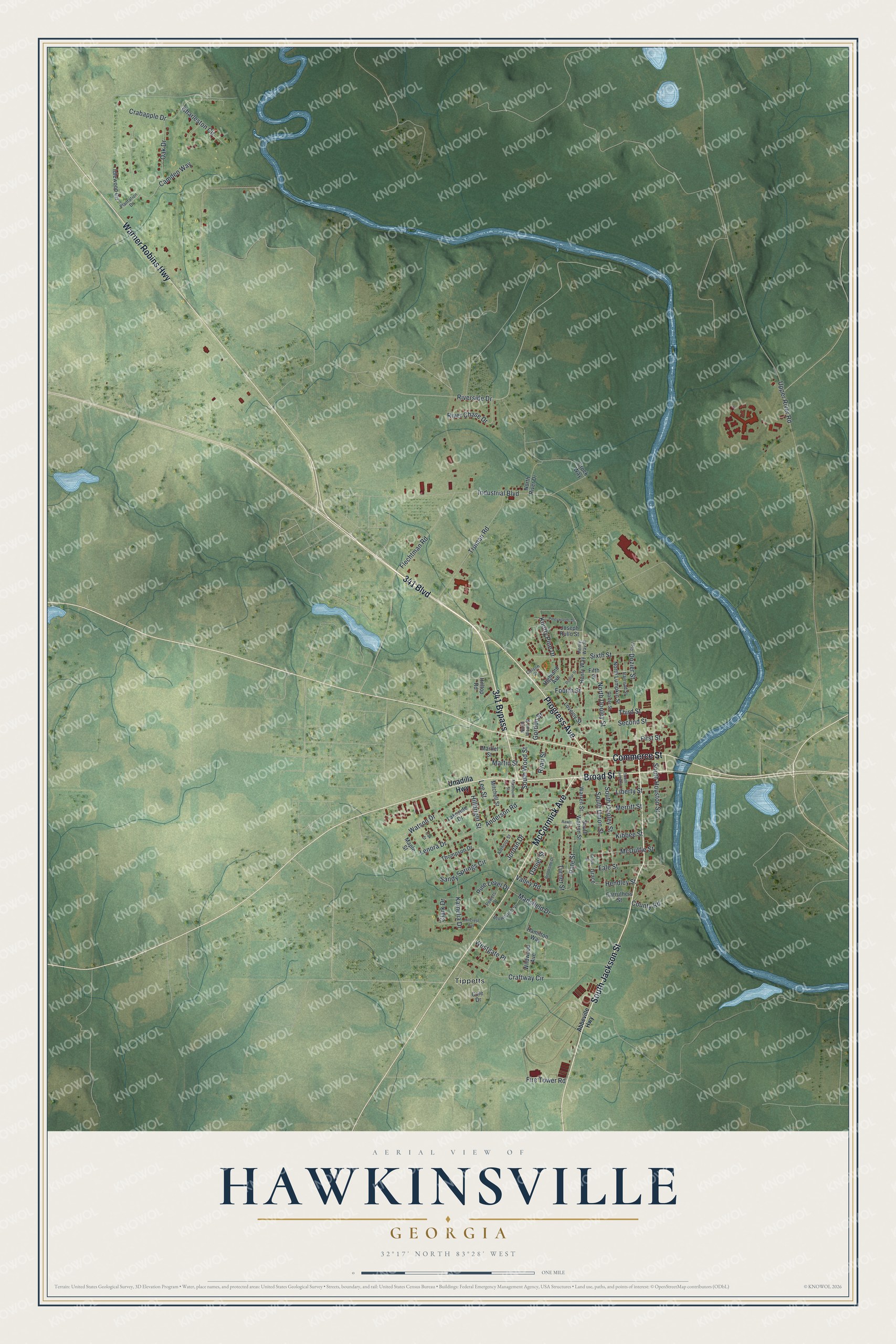
This beautifully detailed map of Hawkinsville, Georgia was created in 2026 using aerial imagery combined with modern topographical, census, street and landmark data. It’s a one-of-a-kind view of Hawkinsville that combines accurate data with a vintage aesthetic. The map shows every building in its true location, many of the roads carry their names, and the shaded topographic relief shows the shape of the land.
Explore an aerial view of Hawkinsville, Georgia
On the map you’ll find Tippetts, along with Jackson Street, Progress Avenue, Warner Robins Highway, McCormick Avenue, Broad Street, and more. If you look closely you can even find your house accurately drawn in its correct location. Zoom in on the preview to look for yours.
Did You Know?
Hawkinsville was founded in 1830 and became the Pulaski County seat in 1836. It honors Colonel Benjamin Hawkins of North Carolina. He served in the Continental Congress and the Senate. George Washington later made him the Indian agent for lands south of the Ohio River.
Take a closer look at the Hawkinsville map
Names on this map
These names are printed on this map.
Places: Tippetts.
Streets and roads: 341 Bypass, South Jackson Street, Progress Avenue, Warner Robins Highway, McCormick Avenue, Broad Street, Commerce Street, 341 Boulevard, Fale Street, Riverside Drive, South Wood Street, Knotty Pine Drive.
More street names, A to Z
Abbeville Highway, Anderson Road, Anthony Street, Brookside Drive, Browncroft Street, Camden Way, Carruthers Street, Carter Street, Charleston Circle, Clark Drive, Cole Drive, Colson Street, County Road, Crabapple Drive, Craftway Circle, Crock Way, Daniel Street, Dozier Street, Fifth Street, Fire Tower Road, First Street, Flechtman Road, Fourth Street, Gordon Street, Grace, Grace Street, Hamilton Way, Hendley Street, Henry Way, Henry Way Street, Highland Avenue, Hillbright Street, Hillcrest Avenue, Hilltop Road, Idlewood Circle, Industrial Boulevard, Jordan Drive, Joseph Rullo Street, Kamelia Drive, Kibbee Street, Lakeside Drive, Lee Street, Lenora Drive, Liberty Street, Lovejoy Street, Mansfield Drive, Maple Street, Markel Street, Martin Street, Mashburn Street, McDuffie Street, Merritt Street, Mitchell Street, North Dooley Street, North Lumpkin Street, North River Drive, North Wood Street, Oak Drive, Oak Street, Pate Street, Pine Level Drive, Pineywoods Drive, Plantation Drive, Poplar Street, Powers Drive, Railroad Street, Rawls Street, River Chase Drive, Ryan Street, Sandy Springs Circle, Second Street, Sixth Street, South Dooley Street, South Houston Street, South Lumpkin, South Union Street, South Warren Street, Third Street, Thompson Drive, Truman Road, Turner Street, Unadilla Highway, Upper River Road, Valley Road, Warren Street, Watson Drive, Westgate Place, Wildwood Avenue.
See it on a wall
The Hawkinsville map as a framed print. Swipe for more.


This beautifully detailed map of Hawkinsville makes an attractive addition to your office, library, or den, and it can even be used to teach children the geography and history of the area. It also makes a great gift for anyone who grew up in Hawkinsville or moved away. When you’re done exploring, click here to get your copy of the Hawkinsville map.