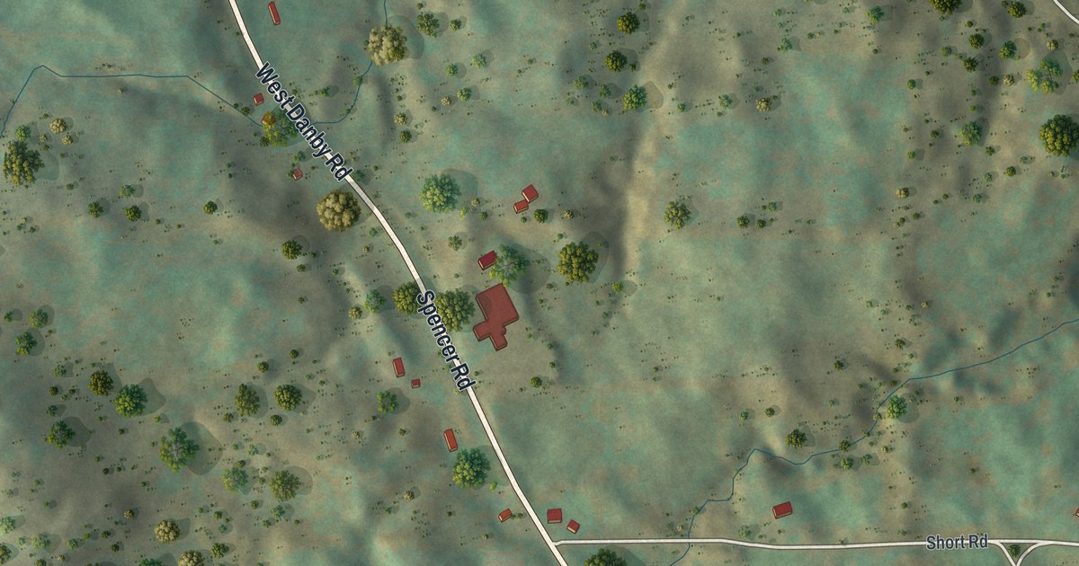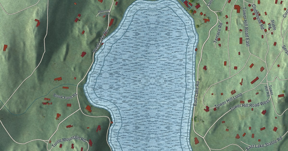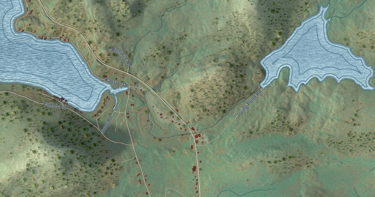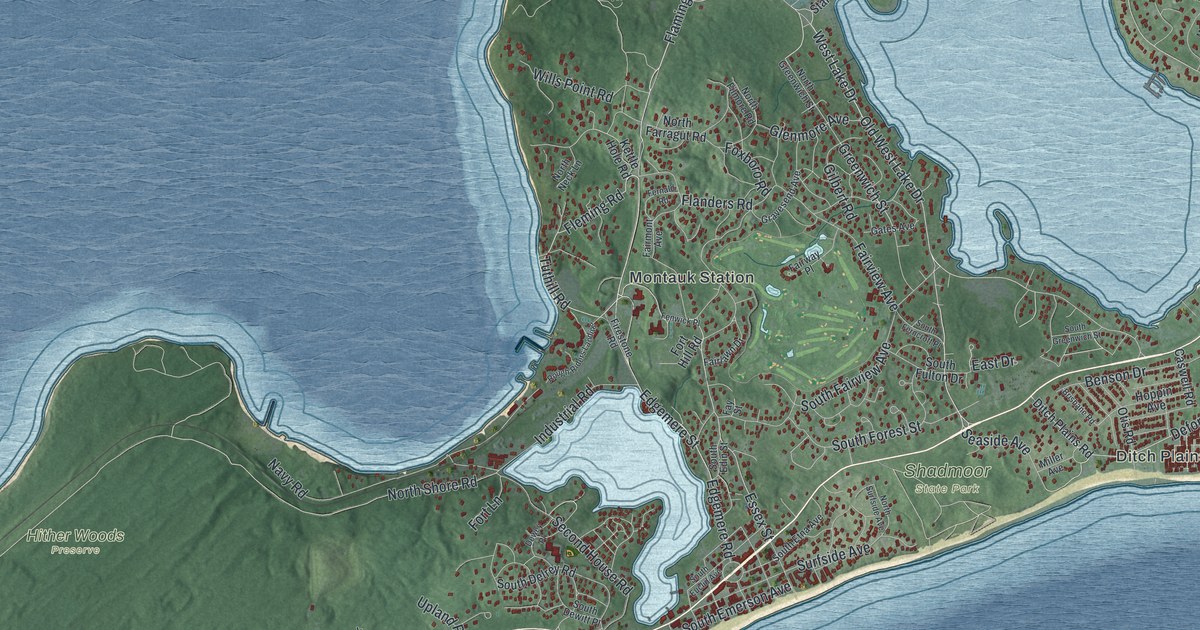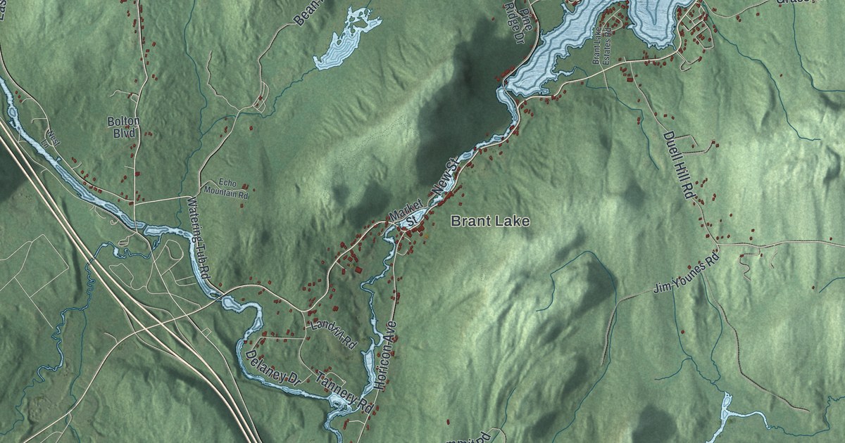
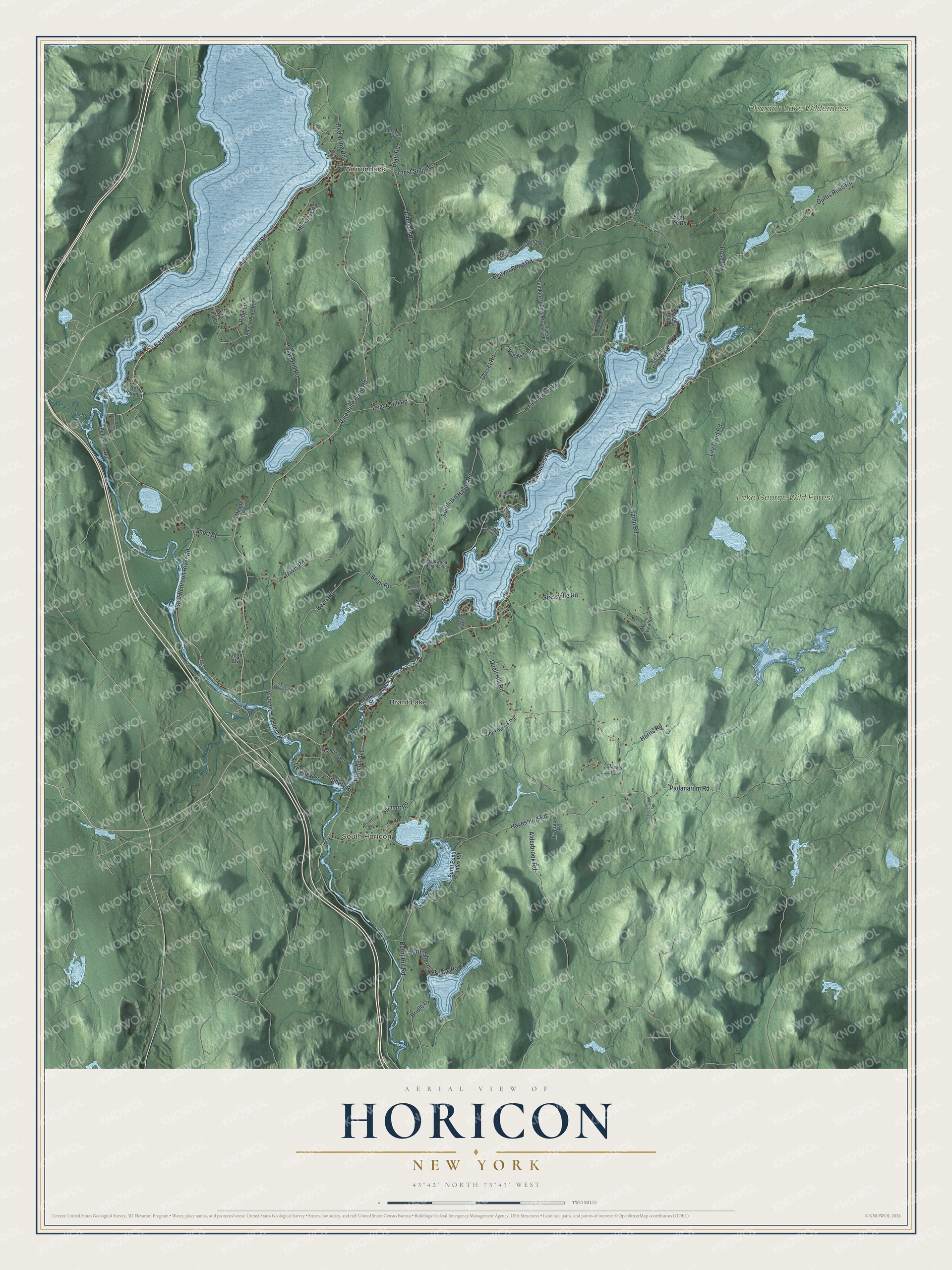
This beautifully detailed map of Horicon, New York was created in 2026 using aerial imagery combined with modern topographical, census, street and landmark data. It’s a one-of-a-kind view of Horicon that combines accurate data with a vintage aesthetic. The map shows every building in its true location, many of the roads carry their names, and the shaded topographic relief shows the shape of the land.
Explore an aerial view of Horicon, New York
On the map you’ll find Adirondack, South Horicon, Brant Lake, and Lake George Wild Forest, along with Hayesburg Road, Padanarum Road, Duell Hill Road, Adirondack Road, Shore Drive, and more. If you look closely you can even find your house accurately drawn in its correct location. Zoom in on the preview to look for yours.
Take a closer look at the Horicon map
Names on this map
These names are printed on this map.
Places: Adirondack, South Horicon, Brant Lake, Lake George Wild Forest and Pharaoh Lake Wilderness.
Streets and roads: Hayesburg Road, Padanarum Road, Duell Hill Road, Adirondack Road, East Shore Drive, Johnson Road, Valentine Pond Road, Palisades Road, Bean Road, East Schroon River Road, Beaver Pond Road, Pease Hill Road.
More street names, A to Z
Al Bean Road, Alderbrook Road, Beech Tree Road, Bent Lee Road, Blair Road, Blufrf Lane, Bolton Boulevard, Brant Lake Estates Road, Brantwood Heights Road, Bridle Lane, Burnt Hill Road, Burnt Pond Estates Road, Camp Road, Clearwater Lake Road, Counter Point Lane, Cozy Cv, Curtis Read Road, Davis Road, Delaney Drive, Dorset Road, Echo Mountain Road, Eric Lane, Ernest Smith Road, Gibbons Road, Glendale Road, Granger Road, Grassville Road, Grazlon Road, Harris Road, Hemingway Road, Henggeler Drive, Horicon Avenue, Horicon Birches Road, Ira Fraser Road, Jim Younes Road, Lake View Drive, Landfill Road, Lily Pond Road, Loomis Lane, Maine Boulevard, Market Street, Meade Road, Michael Drive, Mill Creek Road, Mount View Road, Nest Lane, New Street, North Beaver Pond Road, North Sherman Lake Road, Padanarum Spr, Peninsula Road, Pharoah Road, Pine Lane, Pine Ridge Drive, Pumkin Hollow Road, Pumkin Hollw Road, Red Wing Road, Rose Drive, Set Point Lane, Shaw Hill Road, Short Street, South Ike Hayes Road, Summit Road, Tannery Road, Watering Tub Road, Woods Loop.
See it on a wall
The Horicon map as a framed print. Swipe for more.


This beautifully detailed map of Horicon makes an attractive addition to your office, library, or den, and it can even be used to teach children the geography and history of the area. It also makes a great gift for anyone who grew up in Horicon or moved away. When you’re done exploring, click here to get your copy of the Horicon map.