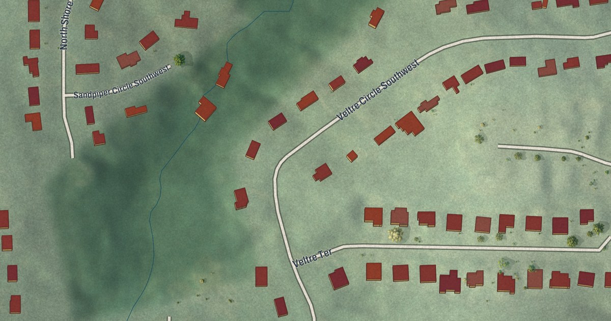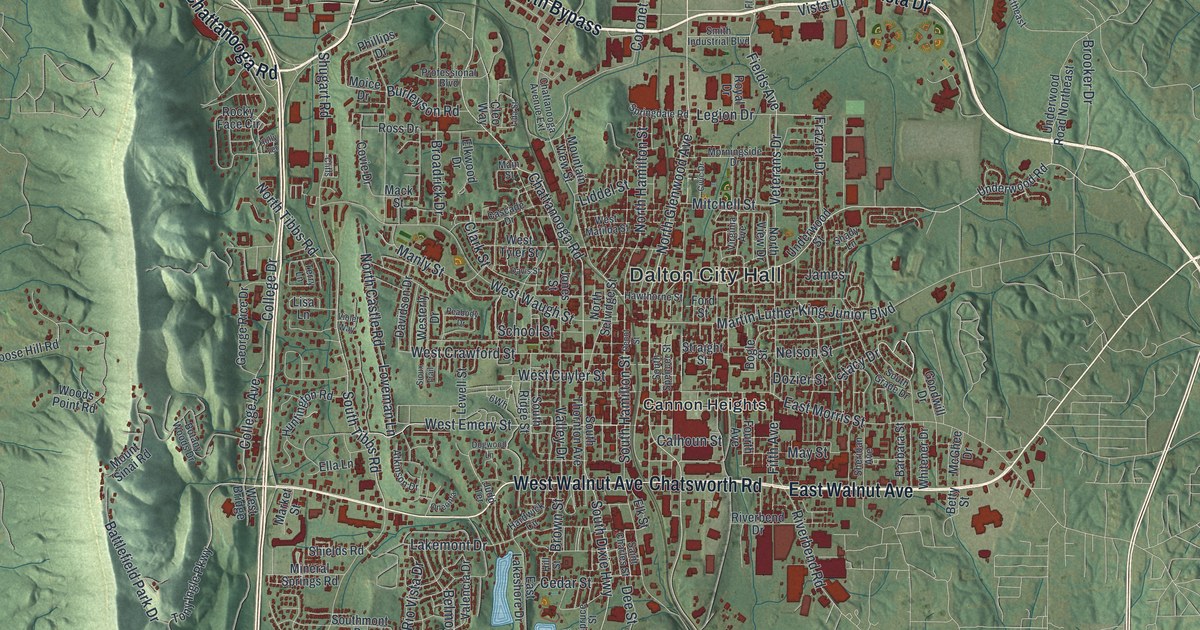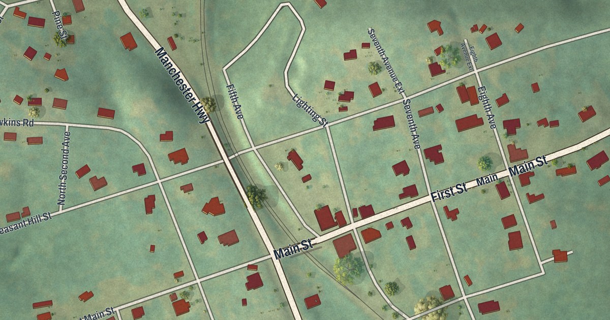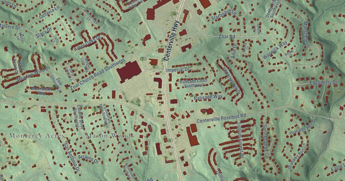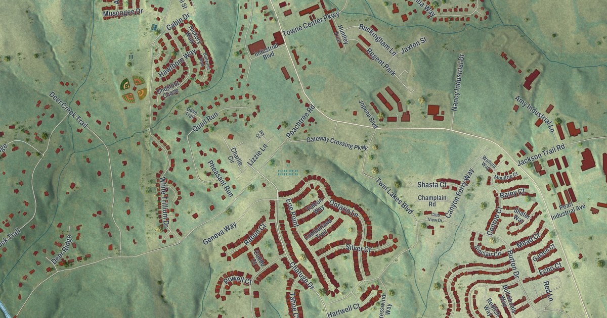
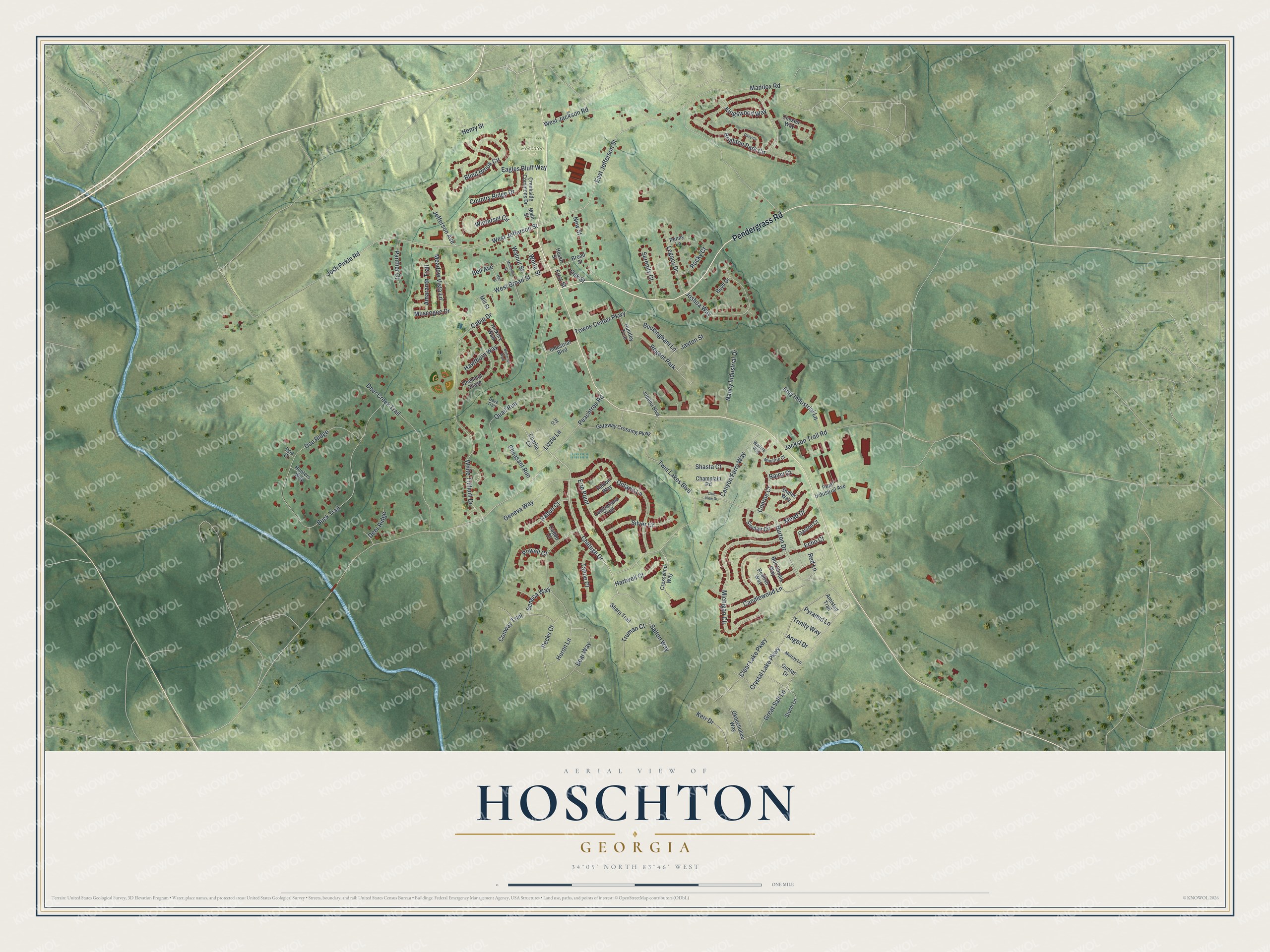
This beautifully detailed map of Hoschton, Georgia was created in 2026 using aerial imagery combined with modern topographical, census, street and landmark data. It’s a one-of-a-kind view of Hoschton that combines accurate data with a vintage aesthetic. The map shows every building in its true location, many of the roads carry their names, and the shaded topographic relief shows the shape of the land.
Explore an aerial view of Hoschton, Georgia
On the map you’ll find Pendergrass Road, Chatuge Drive, Jefferson Street, Peachtree Road, Michigan Circle, and more. If you look closely you can even find your house accurately drawn in its correct location. Zoom in on the preview to look for yours.
Did You Know?
Hoschton carries the name of Russell A. Hosch, a merchant who kept a business in the community. In 1891, Georgia lawmakers made the place an incorporated town under his name.
Take a closer look at the Hoschton map
Names on this map
These names are printed on this map.
Places: Hoschton Park and Regent Park.
Streets and roads: Pendergrass Road, Chatuge Drive, West Jefferson Street, East Jefferson Street, Peachtree Road, Michigan Circle, Buck Trail, Twin Lakes Boulevard, Crystal Lake Parkway, Burton Drive, Brighton Park Circle, Great Salt Lane.
More street names, A to Z
Amaranth Trail, Amistad Trail, Amy Industrial Lane, Angel Drive, Bear Way, Bell Avenue, Blind Brook Circle, Boyd Drive, Broad Street, Buckingham Lane, Bull Shoals Way, Butternut Walk, Cabin Drive, Caddo Court, Candlewood Lane, Canyon Ferry Way, Champlain Road, Charlie Circle, Chester Way, Chestnut Chase, Clear Lake Parkway, Club View Drive, Conroe Court, Conway Trail, Country Ridge Drive, Creekside Commons Drive, Cresswind Way, Cumberland Trail, Davy Circle, Deer Creek Trail, Deer Ridge, Doe Court, Doe Ridge, Dove Trail, Eagles Bluff Way, Echo Court, Erie Point, Falcon Way, First Street, Gaston Court, Gateway Crossing Parkway, Geneva Way, Gunter Drive, Hall Street, Hartwell Court, Hawthorn Way, Henry Street, Hickory Walk, Hosch Street, Hunters Way, Huntley Trce, Huron Lane, Industrial Boulevard, Jackson Trail Road, Jaxton Street, Jay Circle, Jefferson Avenue, Jopena Boulevard, Josh Pirkle Road, Joshua Way, Kerr Drive, Kingswood Way, Legacy Drive, Lizzie Lane, Maddox Road, Main Street, Mead Court, Meadow Vista Lane, Mill Street, Moultrie Court, Mulberry Street, Murray Lane, Muscogee Drive, Nancy Industrial Drive, New Street, Oak Street, Okeechobee Way, Ontario Lane, Panther Court, Pearl Industrial Avenue, Pecks Court, Penny Lane, Pheasant Run, Powell Court, Pyramid Lane, Quail Run, Rabun Court, Rainy Court, Redfish Way, Red Lane, Rocky Court, Salton Way, Seneca Way, Serenity Court, Shafer Way, Sharp Trail, Shasta Court, Silver Court, Sinclair Circle, Storm Lane, Tahoe Court, Towne Center Parkway, Trinity Way, Truman Court, Wallula Way, Walnut Street, West Broad Street, West Jackson Road, White Street, White Trillium Drive, Winterset Circle.
See it on a wall
The Hoschton map as a framed print. Swipe for more.


This beautifully detailed map of Hoschton makes an attractive addition to your office, library, or den, and it can even be used to teach children the geography and history of the area. It also makes a great gift for someone who left Hoschton and still calls it home. When you’re done exploring, click here to get your copy of the Hoschton map.